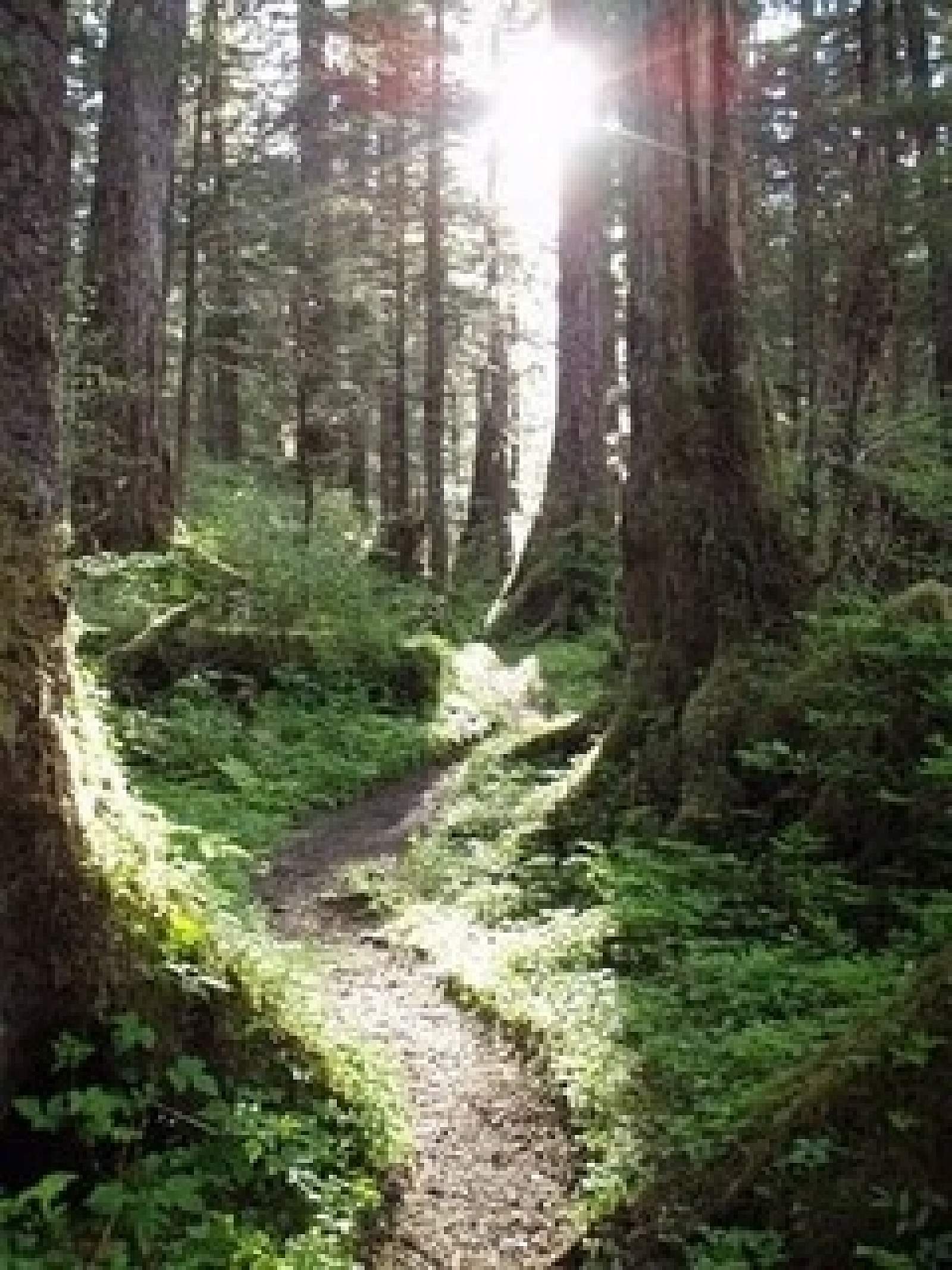
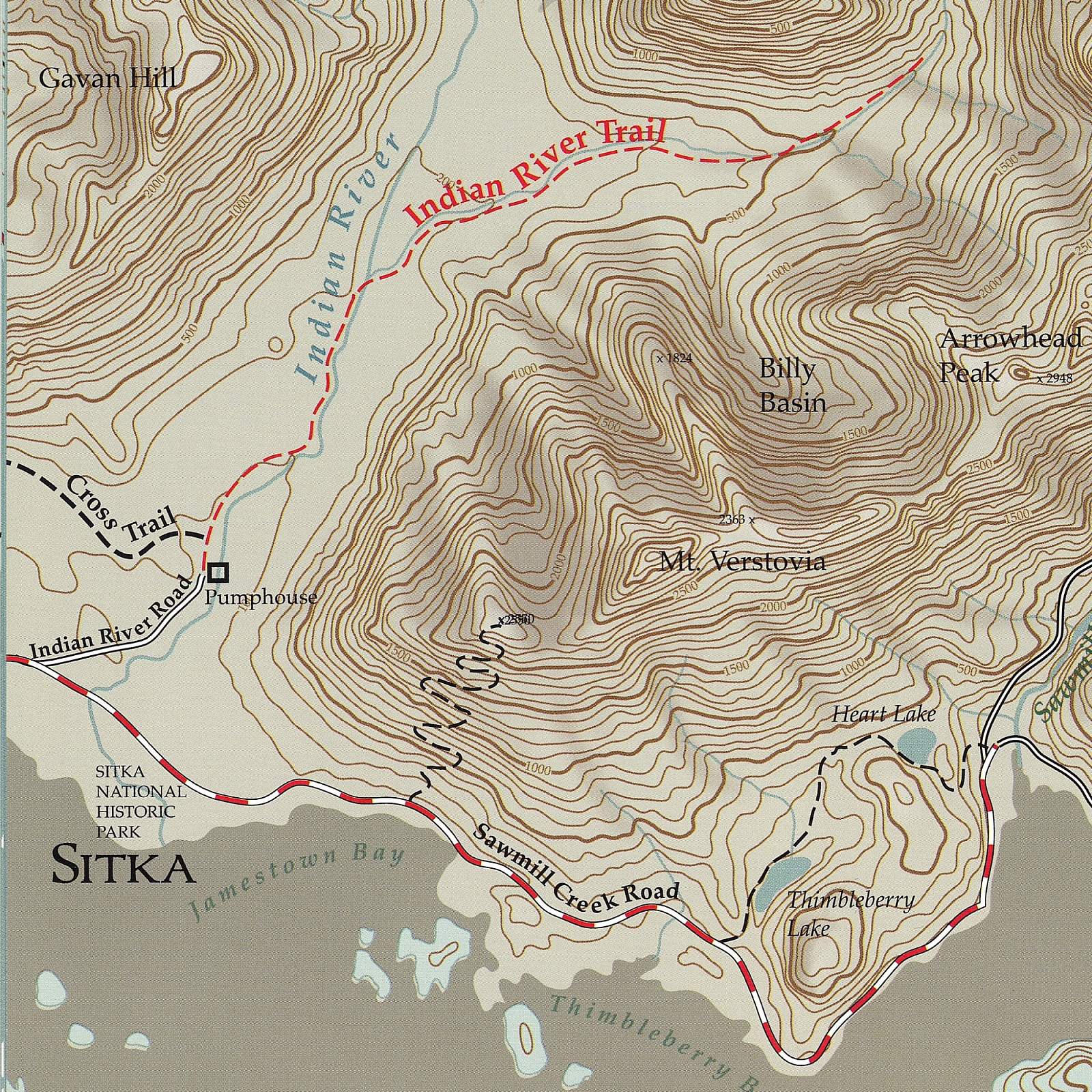
Close to town on moderate terrain, this trail is a popular destination for locals and travelers and is used for everything from family walks to trail runs. The trail follows the turquoise blue Indian River up through the valley to a waterfall. This riverside terrain makes it a good place to look for birds and other wildlife like deer. In late summer, the river fills with salmon (though fishing is prohibited). The bears have their own trail on the other side of the river, so it’s rare to encounter one.
In the first mile you can see signs of old hand-logging. Look for stumps with notches in them, where loggers wedged the planks they stood on. Most of the trail is second-growth forest between 75–150 years old, and you’ll see fairly large Sitka spruce, Alaska yellow cedar, and western hemlock. About ¾-mile in, the trail opens up in a muskeg clearing, and on clear days you’ll have excellent views of the Sisters Mountains. The last mile of the trail is more difficult than the rest of the hike, and you’ll have to scramble up the creek to get to the base of the falls, but you will be rewarded with views of this 70-foot waterfall! Take the Community RIDE bus from downtown—it returns from the Indian River Trailhead every 60 minutes May through September.