From Tenakee Springs, you can hike through forested paths that parallel the shoreline east or west of town, and then explore even further on old logging roads that criss-cross Chichagof Island.
Heading west brings you to many beautiful little bays. Go east and you’ll find an easy, well-maintained path that leads you over a picturesque suspension bridge. After that the going is a bit rougher, although boardwalks have been placed over particularly muddy sections.
Further along the trail, you’ll see remnants of an old wharf, and signs of the old cannery that used to operate here. Eventually you’ll find one of the old logging roads, which could lead you all the way to Hoonah!
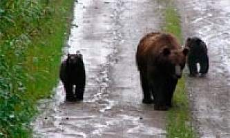
This is especially fun if you have a bike. You can explore for days throughout the island, camping at U.S. Forest Service Cabins, picking berries, fishing, and watching for bear! Ask locally for the best spot to skiff a bike to a logging road and go.
Distance: About 11 miles – 8 miles east of Tenakee and about 3 miles west of Tenakee.


