Difficulty: Moderate
Distance: 2 miles
Elevation Gain: Less than 500ft
Type: Out-and-Back
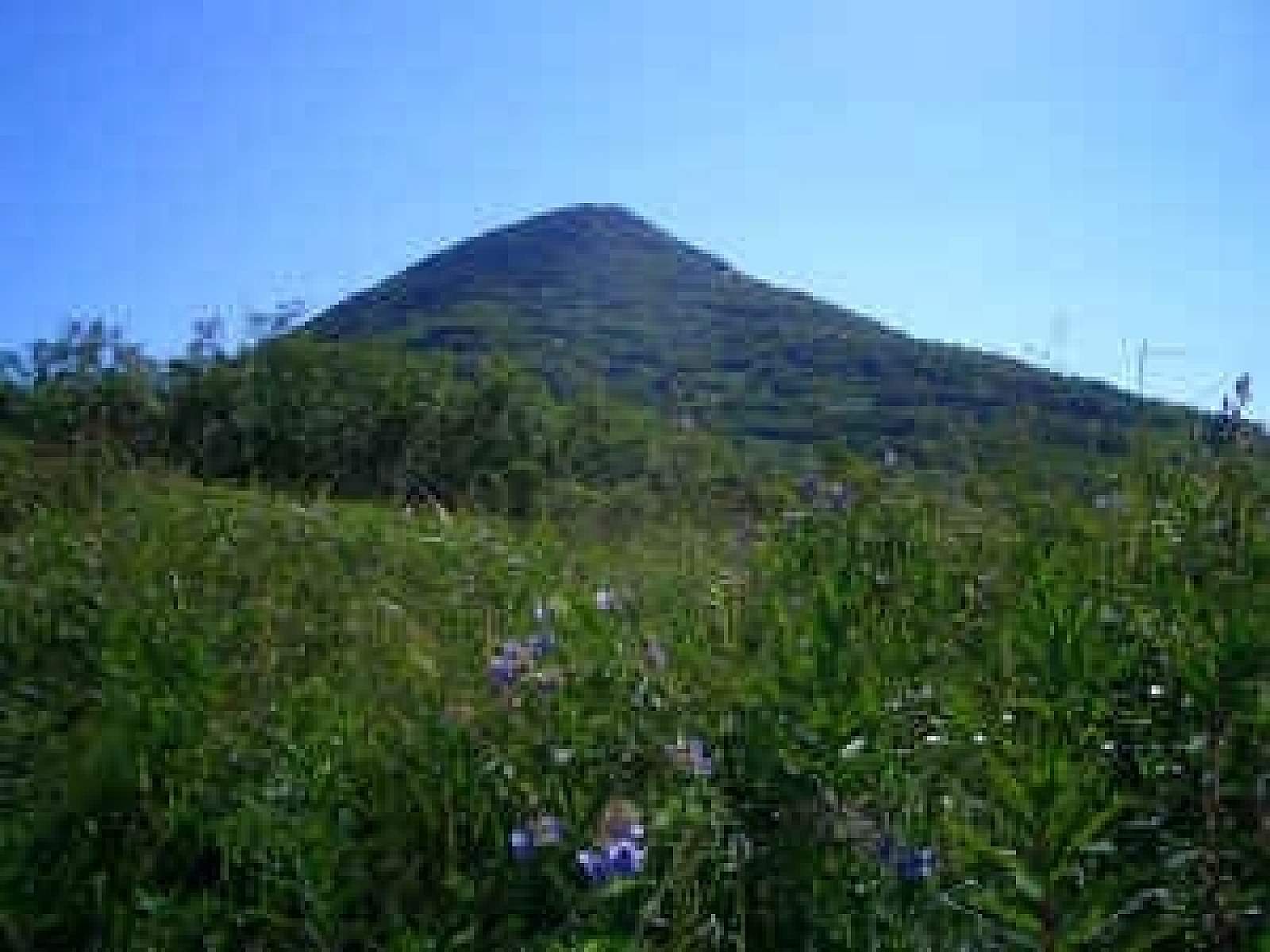
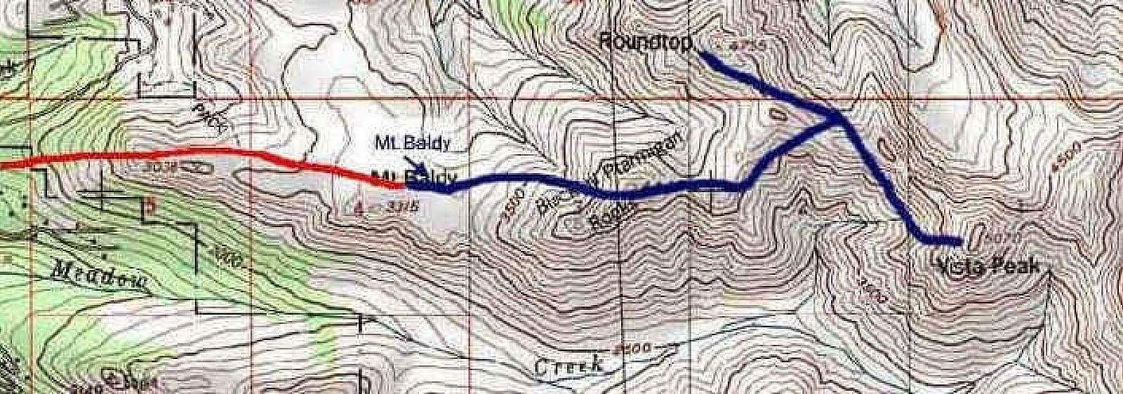
Well used trail by locals as a short (1-2 hour) aerobic hike with nice views. Take Eagle River Loop to Skyline, and follow the road as it swichbacks going up and eventually ends with parking alongside the road. At the end of the road are two options. Take the road to the right for a shorter, more steep route or go straight and keep an eye open for a trail about a quarter of a mile in that also goes to the right, but is less steep. Both trails end on Baldy ridge. Once on the ridge, if you'd like to extend your hike, hike for half a mile and you'll see Blacktails, a steep incline that will take you to even better views.
Features: Kid Friendly, Running