Mount Riley Trail
Difficulty
Difficult
This trail—a steady climb of almost 2,000 feet in 2.5 miles from the Mud Bay trailhead to the top of Mount Riley—affords amazing panoramic views of rivers, oceans, mountains, and glaciers. You’ll walk through old-growth coastal forest, sub-alpine stunted trees, and boggy alpine muskegs, all while surrounded by glacially-striated rocks. Hike up and back from the Mount Riley side, or make a bigger trip of it, climbing point-to-point from the Mount Riley trailhead to the Battery Point trailhead (or vice versa). The Battery Point trail adds close to 6 miles, and you’ll need to set up a shuttle for this.
Either way, the hike is great. After wandering through boggy forest, you’ll start to climb past huge spruce and hemlock trees. Keep an eye out for mushrooms on the Mud Bay side, and blueberries on the Battery Point side. The hike is near the Haines Sportsmans Association, so you may hear gunshots. Don’t worry, that’s normal. You’re near the top when you emerge from the forest into a boggy grassland. Follow the planks across, and then head up. From the top, you’ll have a great view: up the braided Chilkat River, over to Taiya Inlet and Skagway, east to the Katzehin River, south towards Juneau and Berner’s Bay, and west towards the Chilkat Range, Davidson Glacier, and Rainbow Glacier. Bring a camera, some snacks, and warm clothing—and spend as much time up top as you can!
Then drop down either way to complete the hike. Both trails can be really muddy, so wear good shoes.
Directions:
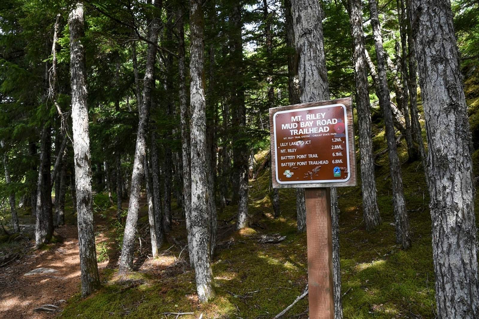
Mud Bay Trailhead—Follow Mud Bay Road out of town, and in 2 miles you’ll climb a hill. At the top is a large pull-out on the right with a trail sign. Park here, cross the road, and the trail is easy to find.
Battery Point—Follow Beach Road from town (it’s the waterfront street that passes the cruise ship dock). In one mile, it veers uphill to the right and turns to dirt. Follow this for another mile to the trailhead and parking area. Follow the well-worn trail one mile, and then go right at the sign for Mount Riley.

Photos