Why Float This River
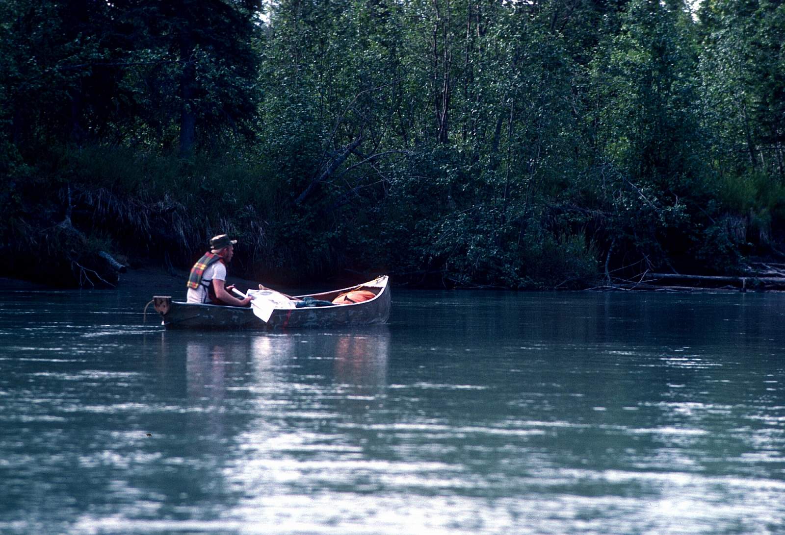
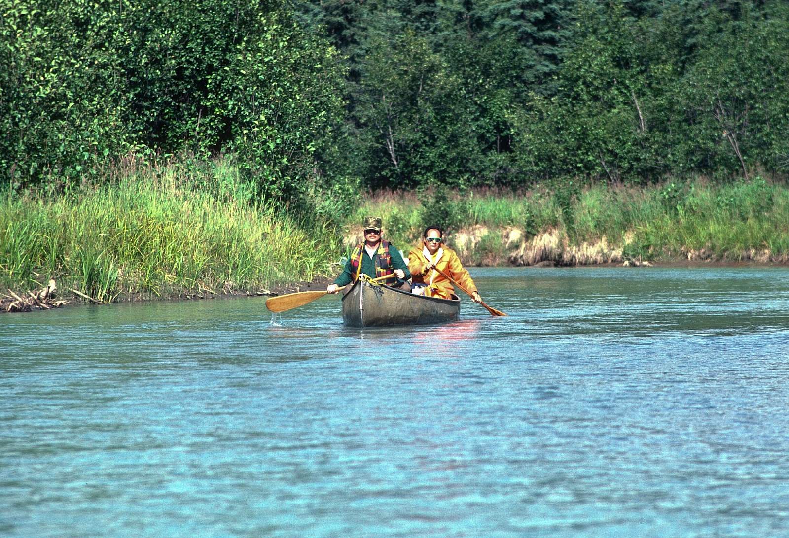
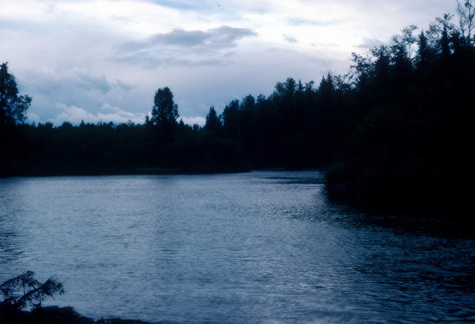
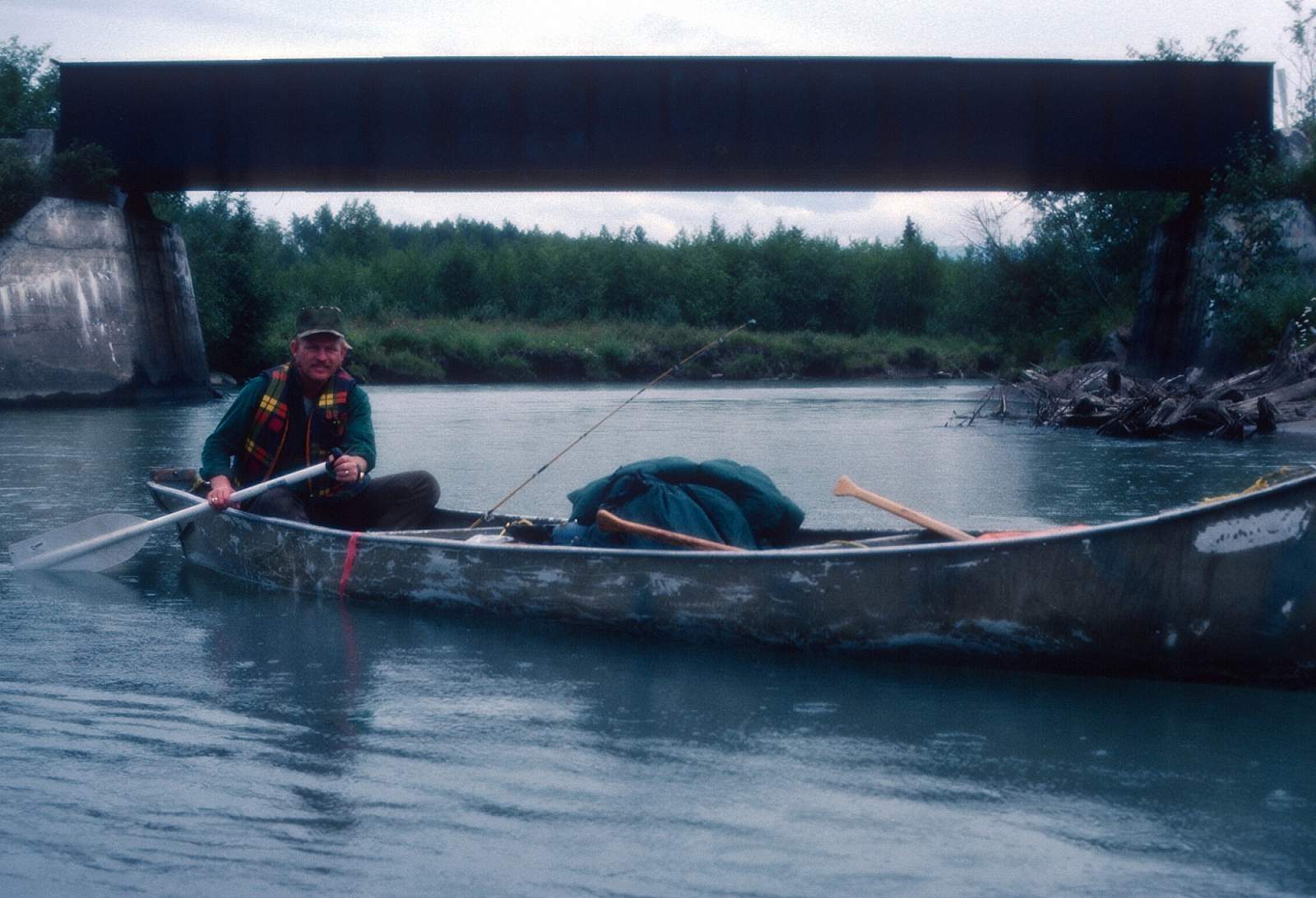
The Little Su, as it is known, is a clear stream that flows out of the Talkeetna Mountains and through a constricted, boulder-choked canyon before becoming a mild, meandering river. It is a relatively small stream, warmer than most Alaskan rivers and offers two distinct type trips. One is a Class IV+, 7-mile section of near continuous whitewater suitable, only for skilled kayakers, and is the upper most section of river that you can get to. The other is the much easier Class I and II section that runs from a point north of Wasilla through a winding, brushy section of river, past the George Parks Highway, all the way to the mouth of the river along Cook Inlet. There is an 84-mile section and a 56-mile section that is popular and could take up to 5 days. It is a great fishing trip for family and friends or simply a floating/camping trip that is easy to get to and from, and does not require any advanced river boating skills. There are several features about the river to be aware of if planning a trip here. Primarily, that the river below the Parks Highway is open to motorboat traffic on the second and fourth weekend of each month from Nancy Lake Creek to the Little Su Access Road off the Burma Road. There are no restrictions on weekdays.
Put In
For the Class IV kayak run you would take the Fishhook Road north from Palmer and travel 14 miles to the Motherlode Cookhouse and Saloon, formerly the Little Susitna Roadhouse and take out somewhere downstream at the several road access spots, the first of which is the Fishhook Road Bridge, or at a point where the Edgerton Parks Road meets the river. For anyone that wants to do a rafting or canoe trip, the best start is off the Schrock Road which is reached by turning off Parks Highway at mile 48.5 onto Pittman Road and looking for the unimproved road to the river downstream of Coal Creek. This is the start for the 84-mile section. Another popular start is from the George Parks Highway where it crosses the Little Su, which is where the 56-mile section begins.
Take Out
Take out options are several. If you start your trip off the Schrock Road access point you may take out after 14 miles at the Parks Highway Bridge at mile 57.1, or you can travel another 15 miles to Portage Trail and Skeena Lake Access at the Nancy Lake Recreation Area. For the longer trip you would continue to where the Little Su Access Road, off of the Burma Road, leads to the river near Yohn Lake. To go the additional 10 miles to Cook Inlet would require having some sort of boat pickup that could take you to Spenard near Point Woronzof or to Point Mackenzie off the Knik Road.
The Trip
Schrock Road to Parks Highway: 14.5 miles
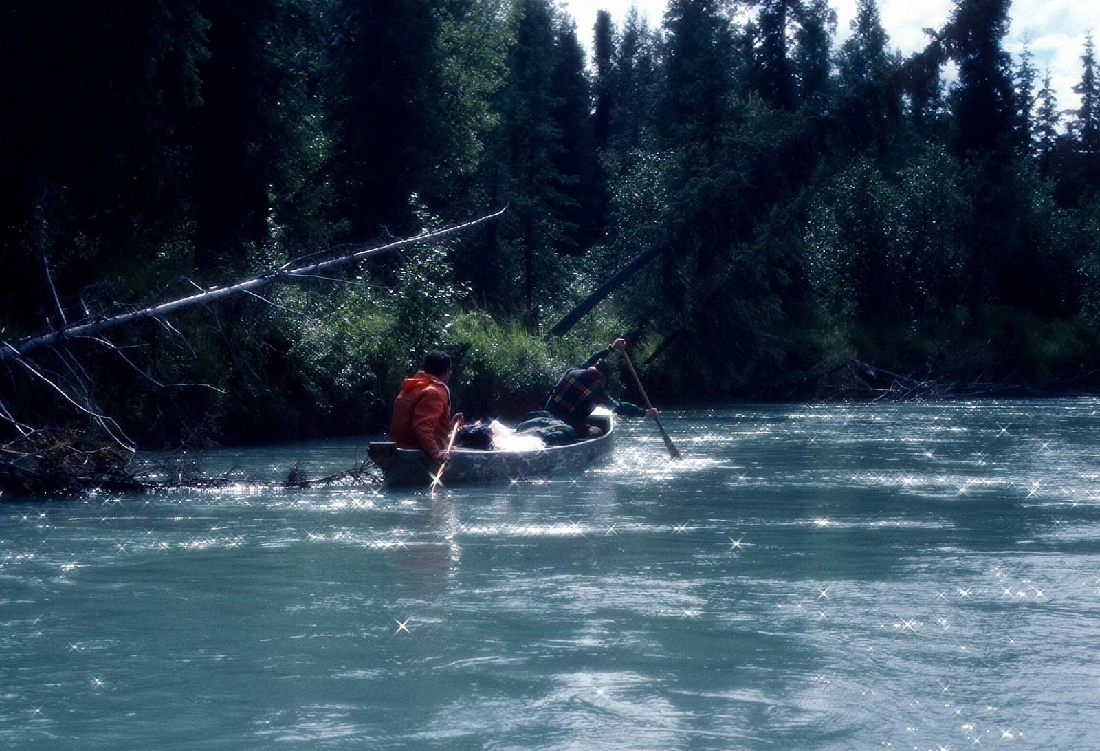
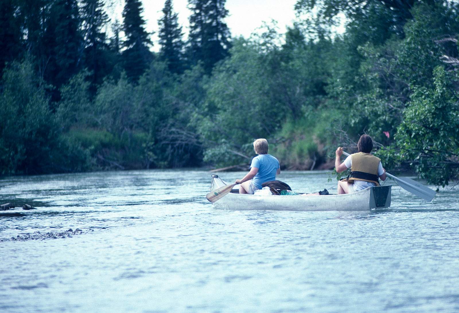
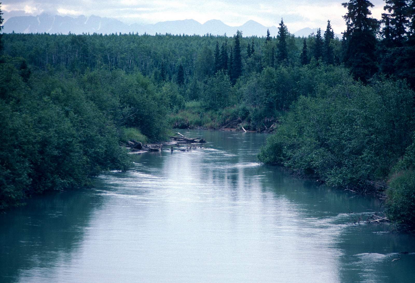
The river along here is a twisting and brushy section with two permanent logjams that are fairly easy to line around or portage across. Sweepers are common and you must be ready to dodge and duck your way through them. The current is only 3 to 5 miles per hour so this section is easily done in a day.
Parks Highway to Nancy Lake Recreation Area: 15 miles
As mentioned earlier this section sees lots of powerboat activity during the fishing season on the weekdays and second and fourth weekend of each month. Below Parks Highway 5 or 6 miles is where Nancy Creek enters from the right and here begins a section of river comprised of wetland habitat, a destination for much of the salmon that are coming upriver to spawn. After passing Nancy Creek you will travel about 9 miles to the point where a person could portage their canoe a quarter of a mile to the north to Skeena Lake where you will be connected to the Nancy Lake trail system. This would take you to the Nancy Lake Road where you could end your trip. If you are rafting, you will want to continue through the next section.
Nancy Lake Recreation Area to Little Susitna Access Road: 26 miles
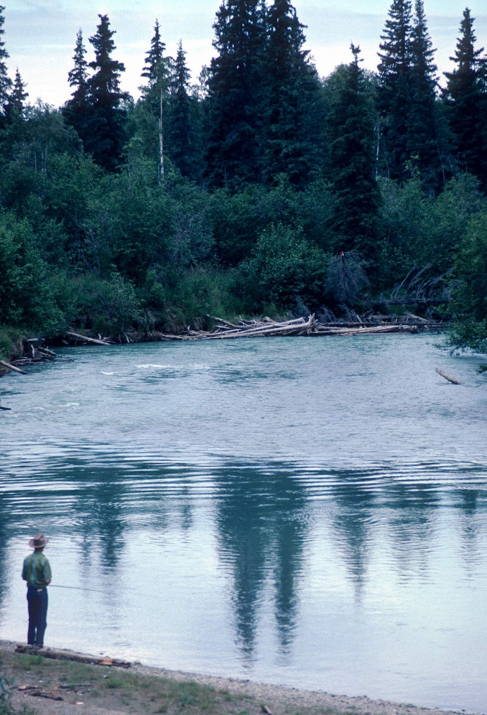
Once past the Skeena Lake portage trail you have 26 miles of meandering wetlands to float through. It is here that the danger from speeding powerboats is greatest. It is also where the fishing spots are most numerous. There is still the occasional sweeper to be watchful for, but the powerboat traffic will have cleared most of this by midsummer. When you reach the Little Susitna Access Road you are in the region of the Historic Iditarod Trail as it crosses here on its way to Nome from Anchorage.
Little Susitna Access Road to Cook Inlet: 28 miles
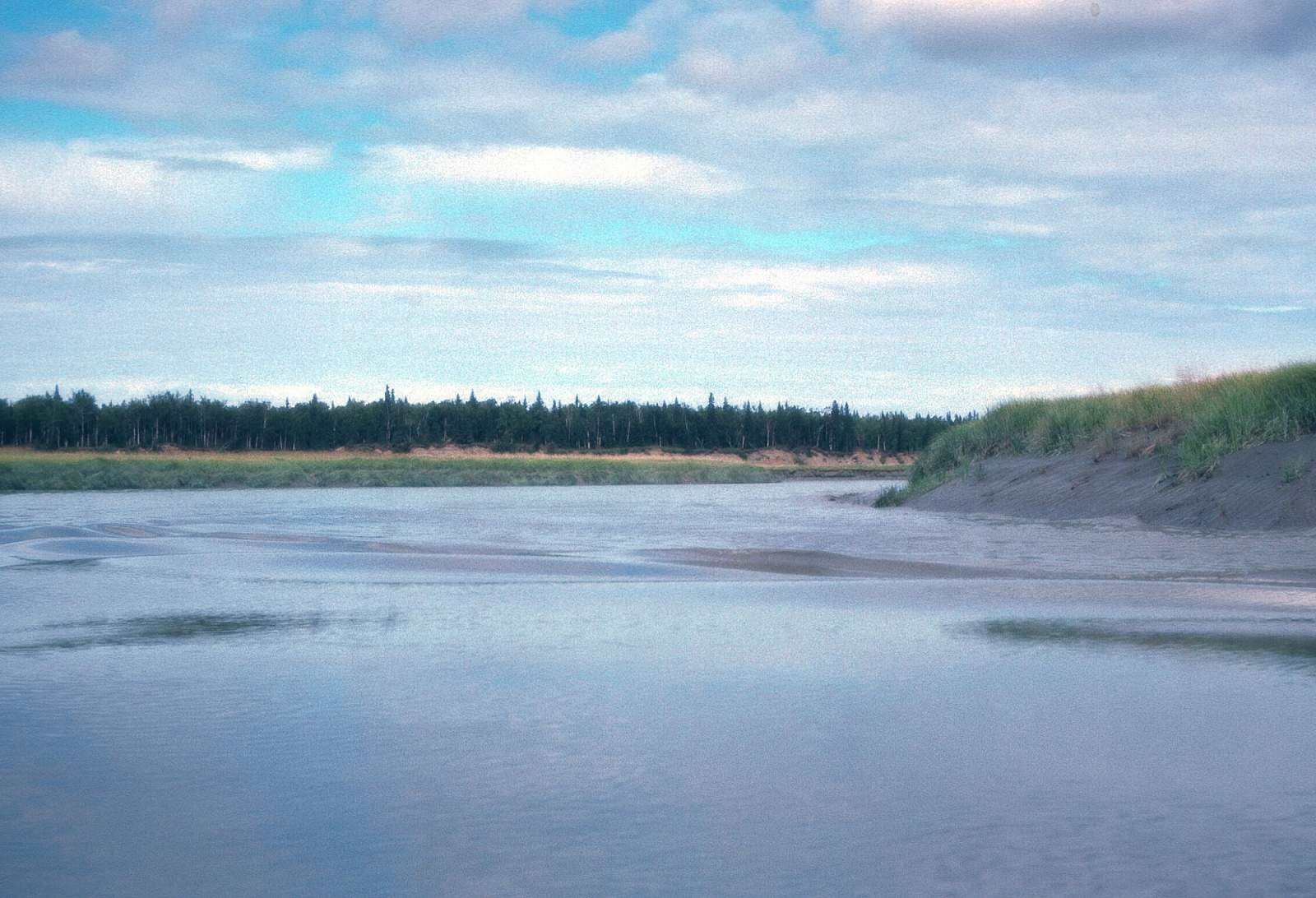
Not many rafts or canoes go beyond this point as the take out becomes more involved. This section of river is quite flat with a slow current and miles of muskeg and lakes. The river is constant oxbow meanders as it runs down to the Susitna Flats near the river mouth. A boat would be needed to pick you up here and it could come from across Cook Inlet or from the Point Mackenzie access.
Other Advice
Be sure check with Alaska Department of Fish & Game regarding fishing permits and regulations.
Little Susitna GPS Coordinates
Yohn Lake
For the longer trip you would continue to where the Little Su Access Road, off of the Burma Road, leads to the river near Yohn Lake. Take out option for Little Susitna River.
61.47022600, -150.17397200
George Parks Highway at Little Susitna
Put in option for Little Susitna River.
61.62696000, -149.80104400
Edgerton Parks Road
This is a take out option for the Class IV kayak run. Take out option for Little Susitna River.
61.69321000, -149.24605600
Schrock Road
For anyone that wants to do a rafting or canoe trip, the best start is off the Schrock Road which is reached by turning off Parks Highway at mile 48.5 onto Pittman Road and looking for the unimproved road to the river downstream of Coal Creek. Put in option for Little Susitna River.
61.64217000, -149.52676500
Point Mackenzie
To go the additional 10 miles to Cook Inlet would require having some sort of boat pickup that could take you to Spenard near Point Woronzof or to Point Mackenzie off the Knik Road. Take out option for Little Susitna River.
61.36382900, -149.97871400
Fishhook Road Bridge
This is the first take out option for the Class IV kayak run. Take out option for Little Susitna River.
61.70993300, -149.23095000
Nancy Lake Rec Area
If you are rafting, you will want to continue through the next section. Take out option for Little Susitna River.
61.67391200, -149.91602900
Motherlode Cookhouse & Saloon
For the Class IV kayak run you would take the Fishhook Road north from Palmer and travel 14 miles to the Motherlode Cookhouse and Saloon, formerly the Little Susitna Roadhouse and take out somewhere downstream at the several road access spots, the first of which is the Fishhook Road Bridge, or at a point where the Edgerton Parks Road meets the river. Put on option for Little Susitna River.
61.71339100, -149.21856900
USGS Maps
Anchorage C-7, C-8
Tyonek B-1, C-1
Distance
56-84 miles
Days
5-7
Difficulty
Easy/Difficult
Class
I, II, IV+
Craft
Kayak
Cost
$