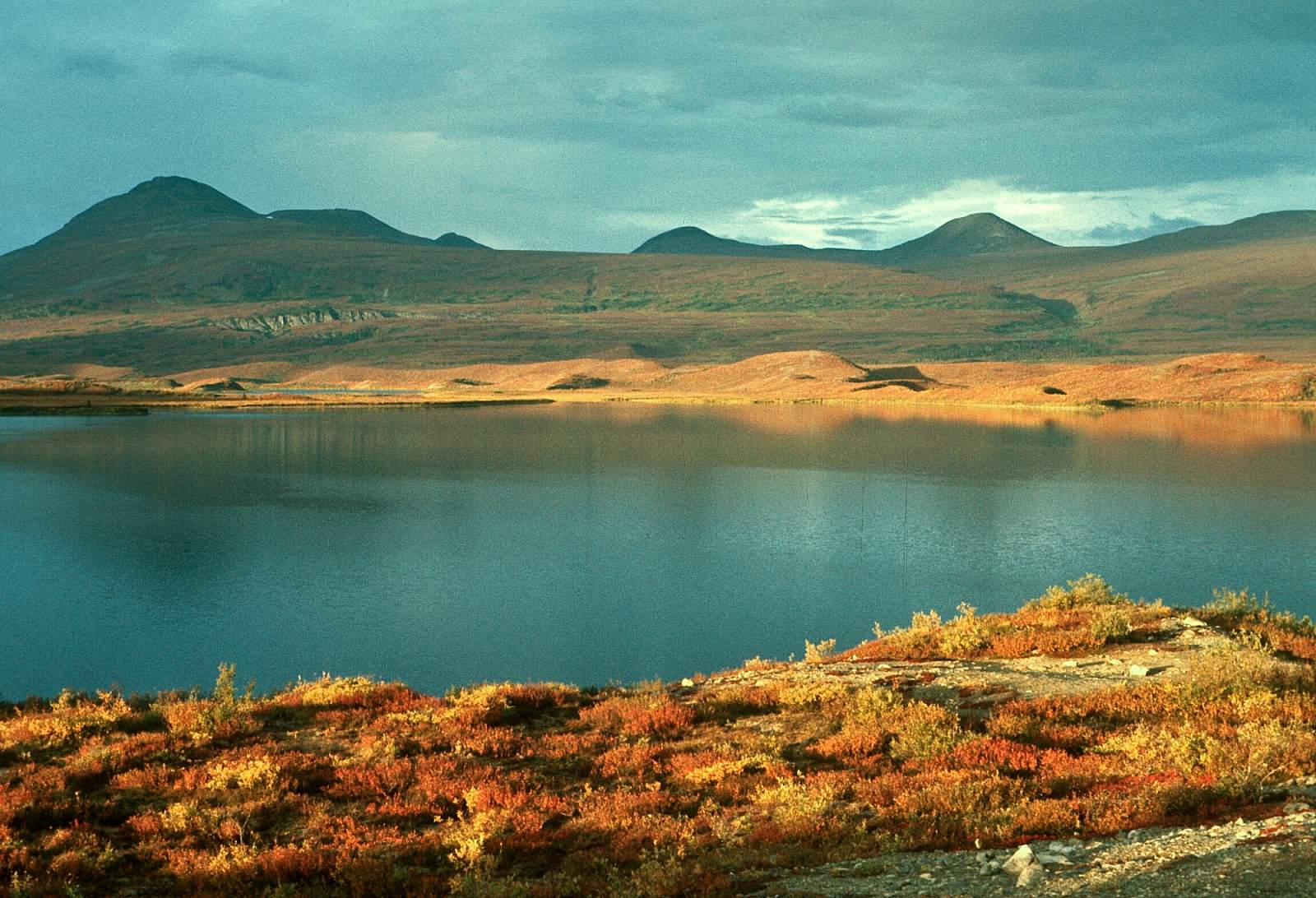
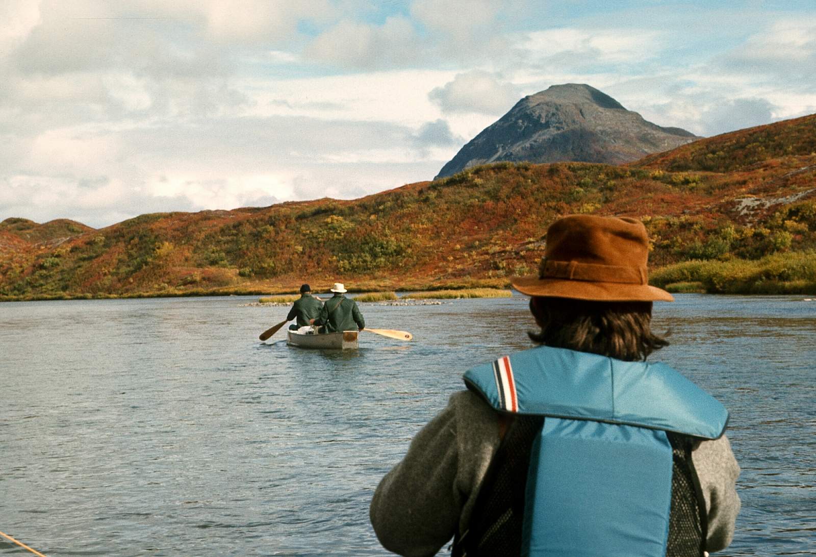
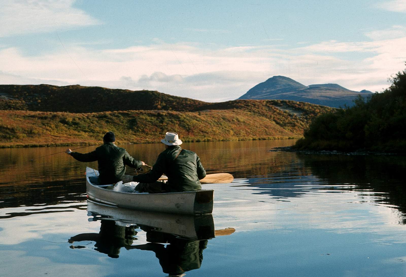
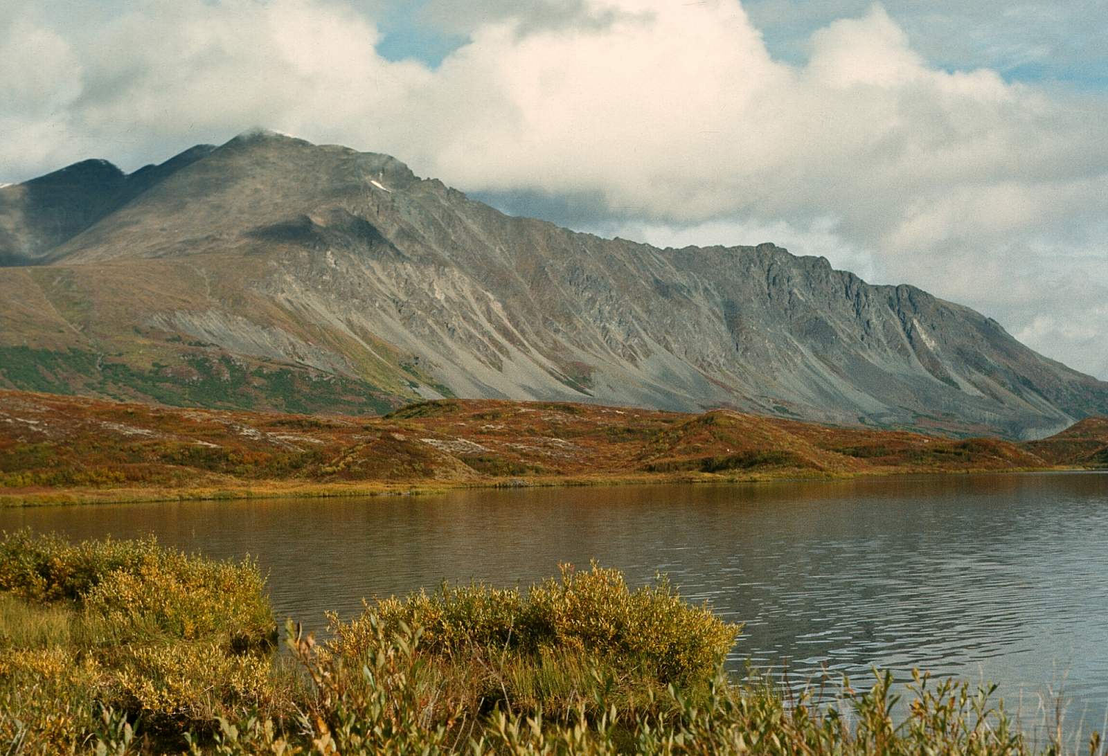
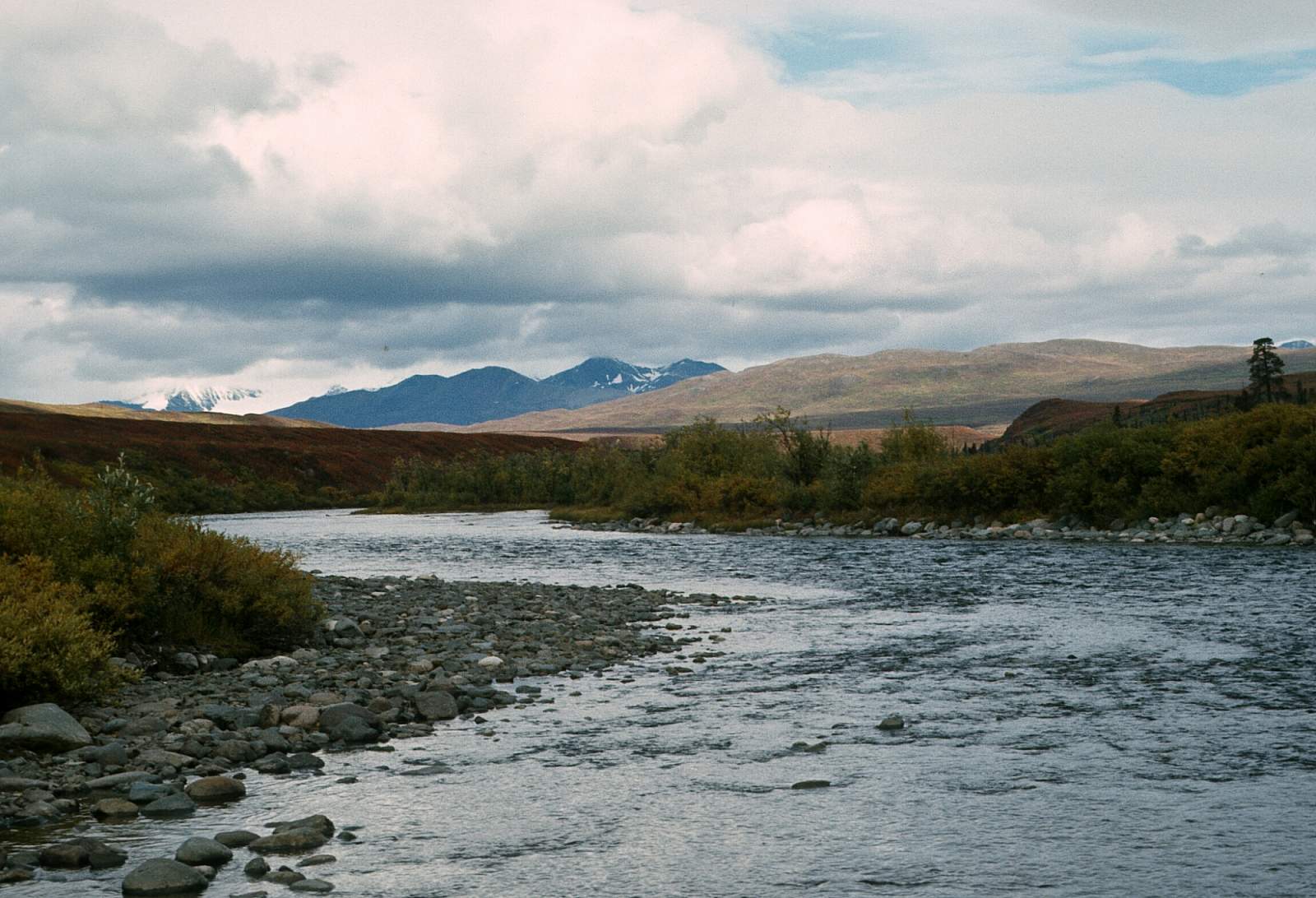
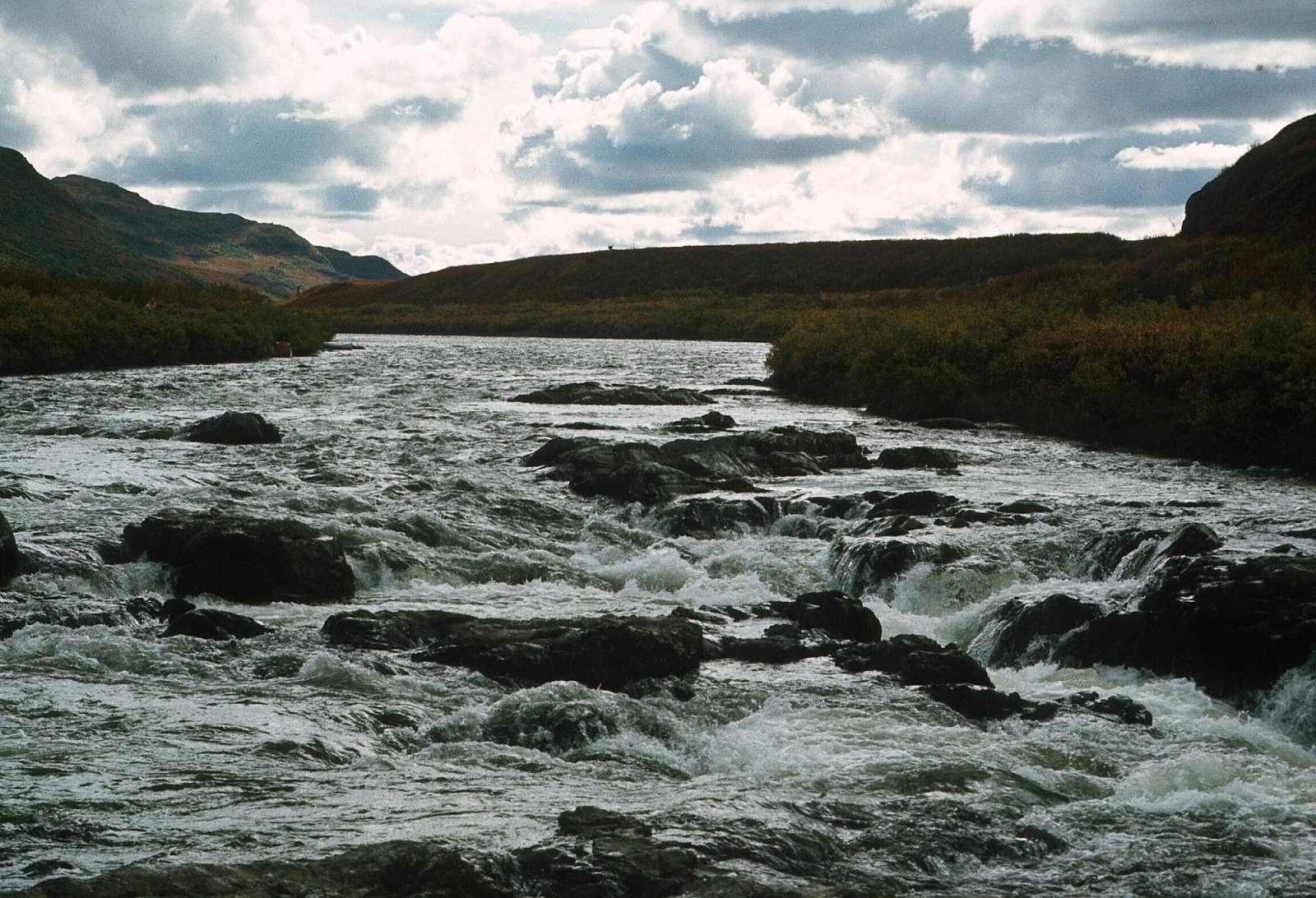
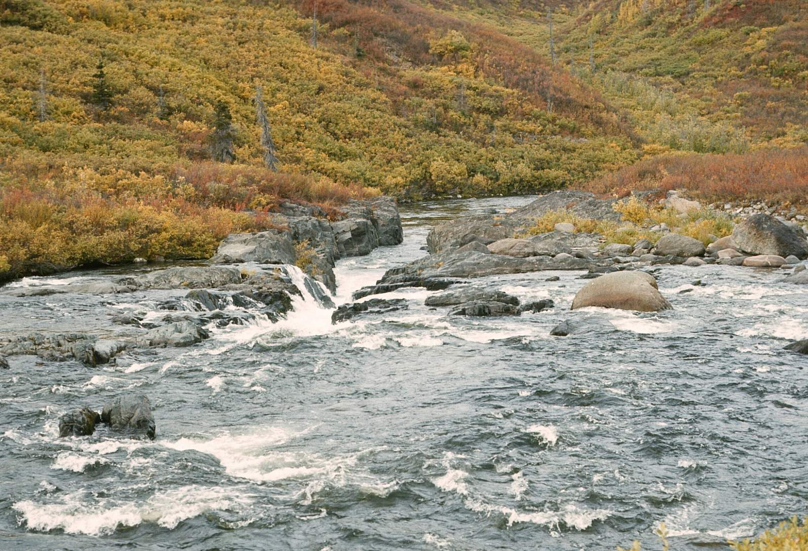
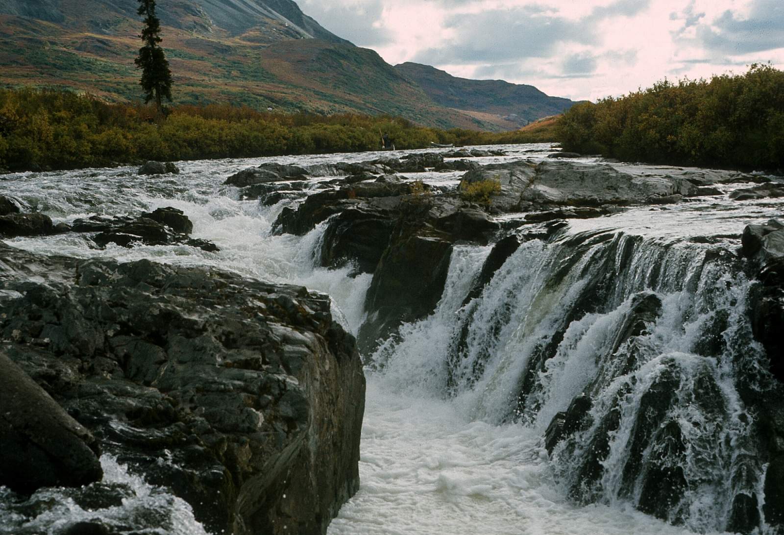
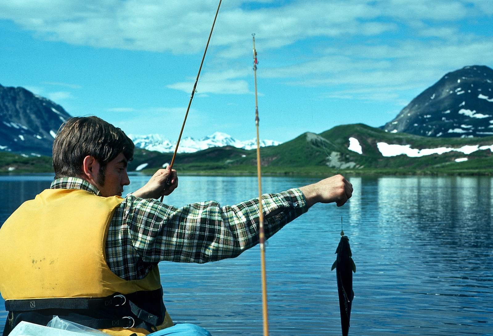
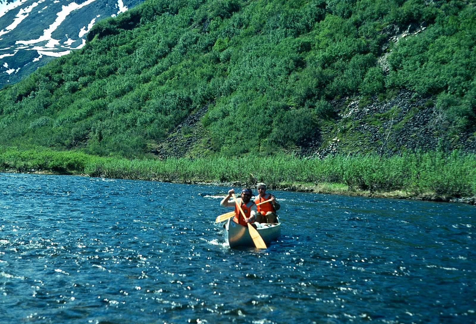
The Delta River, including Tangle Lakes to mile 212 on the Richardson Highway, is an outstanding river to float, although there is a set of falls to portage around. It offers a variety of water challenges: quiet lake, fast and rocky Class I to the falls, good Class II rapids following the falls, Class I meandering water to Eureka Creek, and fast glacial water to the takeout 7 miles below Eureka Creek. The scenery is superb with canyon, tundra covered hills, heavily forested areas, and snow-capped mountains. Wildlife is plentiful: moose, bear, beaver, waterfowl and grayling fishing is excellent. It is also accessible by good highways at Tangle Lakes and at the takeout on the Richardson Highway. The Delta can be floated in two easy days, thereby making it a favorite weekend float for the recreationist. Beyond Ann Creek and the mile 212 takeout is a 17-mile stretch of fast, cold glacier river that has numerous Class IV rapids to negotiate. This is known as the Black Rapids and if you are in a canoe you should expect to line and portage your way down to the next river access point at mile 229 of the Richardson Highway. From here there is 30 miles of Class III followed by 18 miles of Class I and II to the confluence with the Tanana River.
Put In
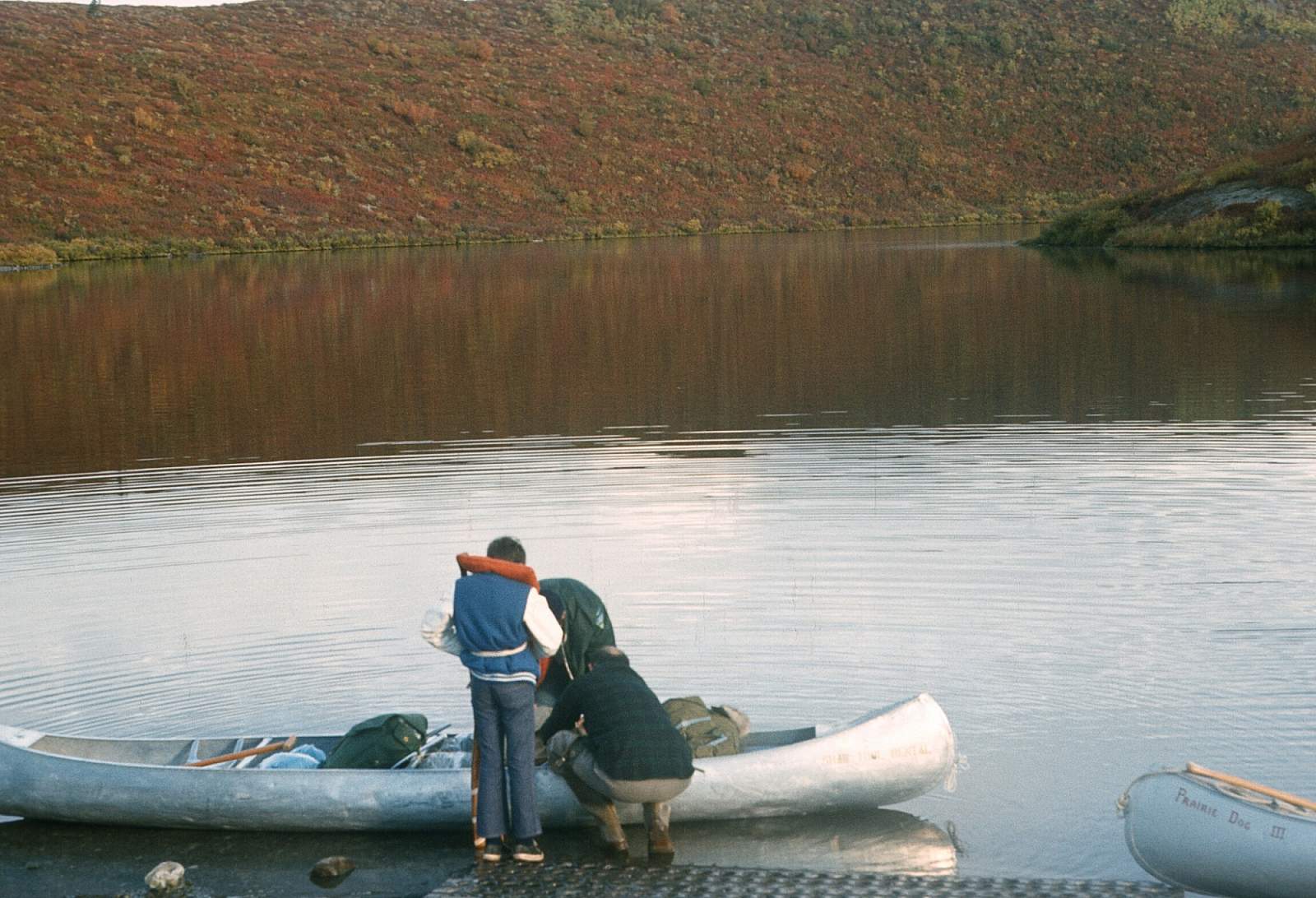
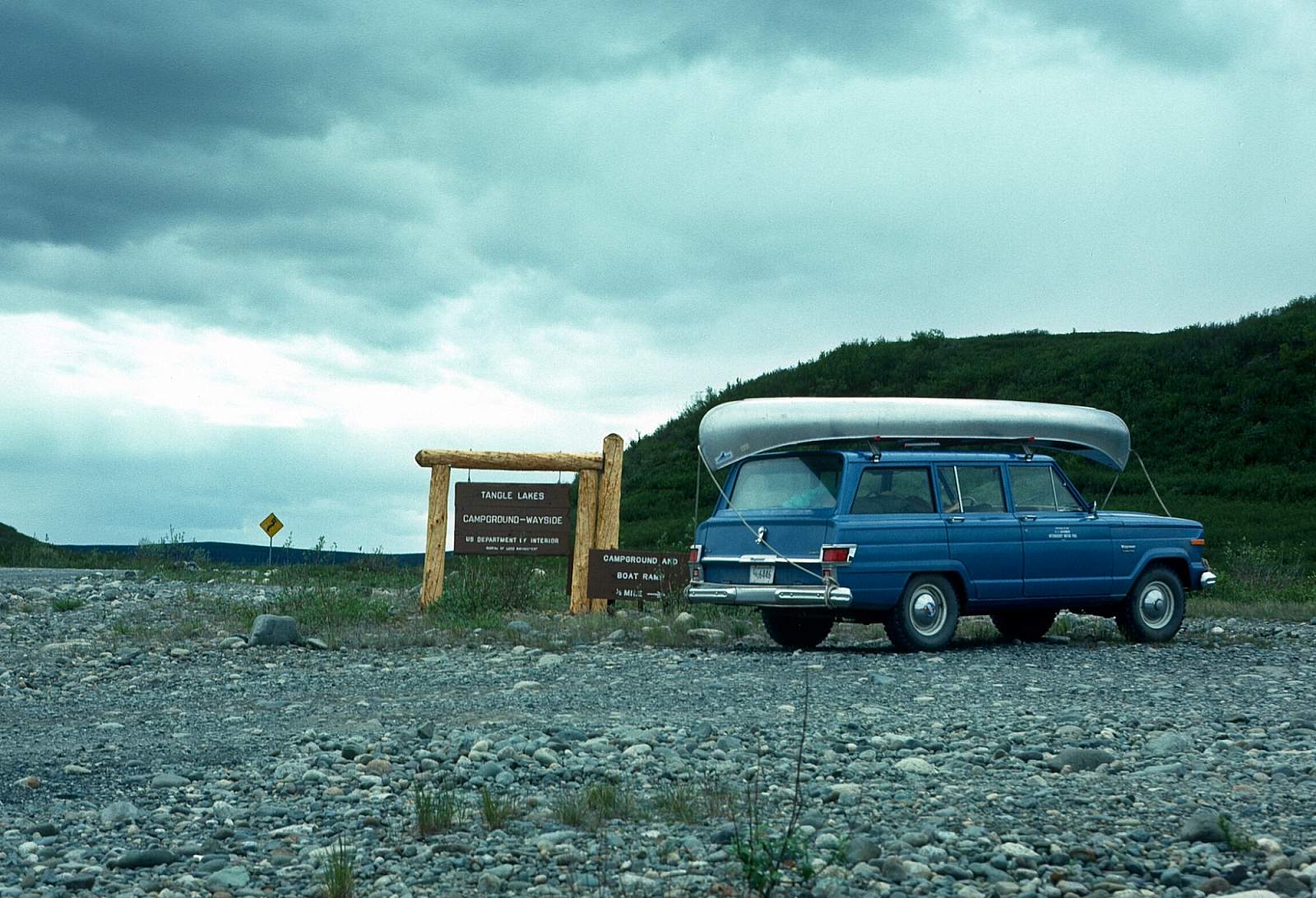
Even though no flying is involved to do this trip, there is a lot of vehicle driving required to shuttle put in and take out vehicles. The common put in is on the Tangle Lakes system along the Denali Highway at mile 21, just west of Paxson. There is a boat launch at the Tangle Lakes campground from where you can start.
Take Out
Take out for the popular weekend journey is at mile 112 of the Richardson Highway. For those in rafts or expert paddlers you can continue through the Black Rapids to mile 229 of the "Rich", or you could continue another 48 miles to where the Delta meets the Tanana River near the town of Delta.
The Trip
Tangle Lakes to Mile 212: 29 miles
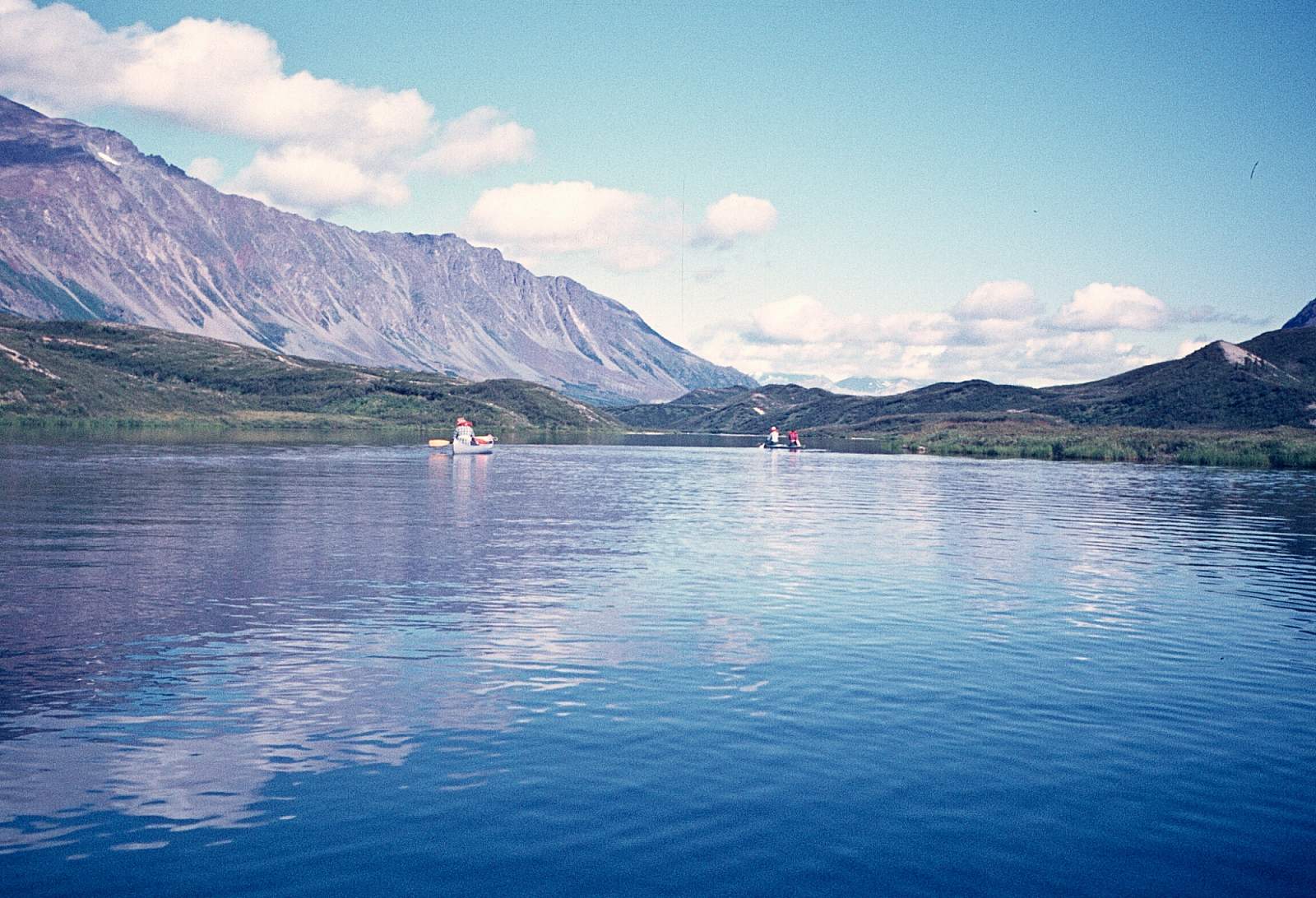
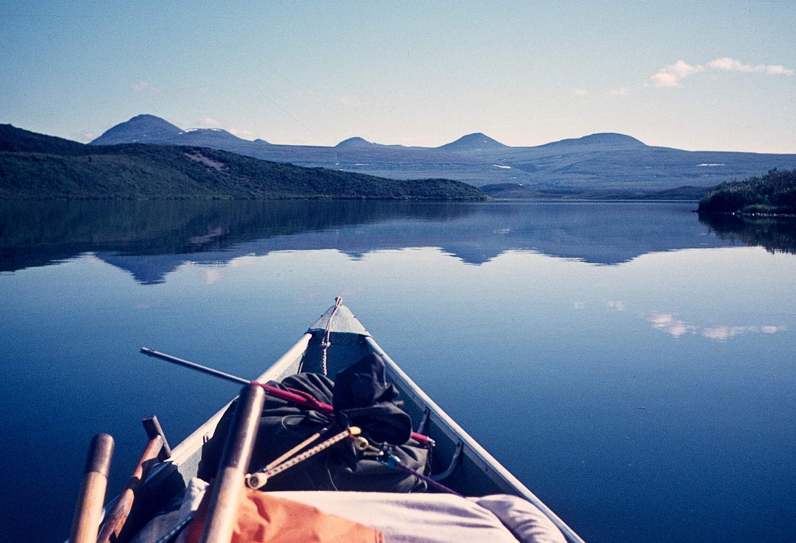
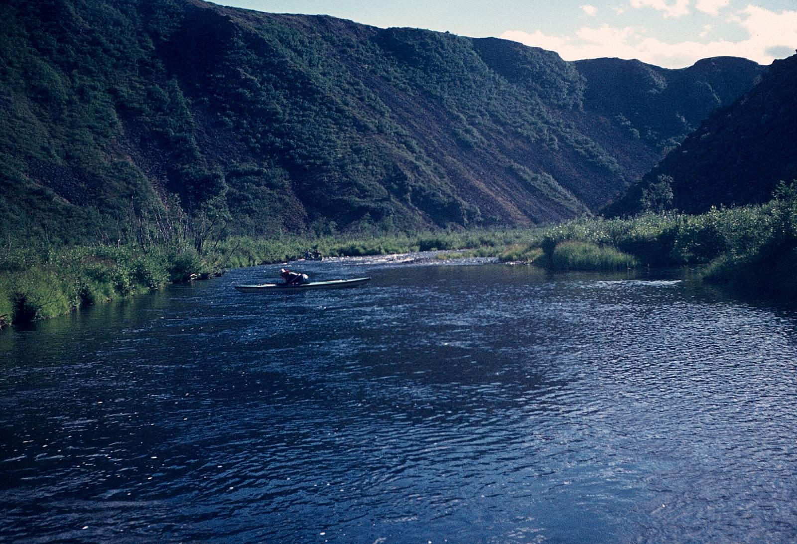
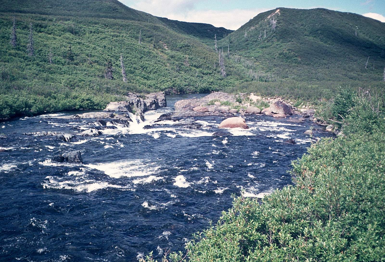
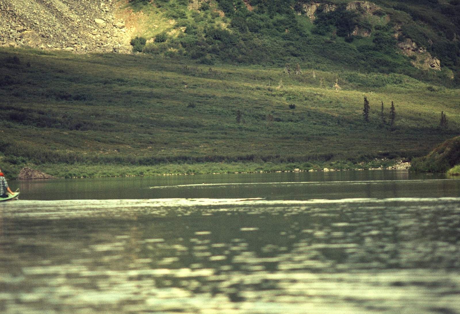
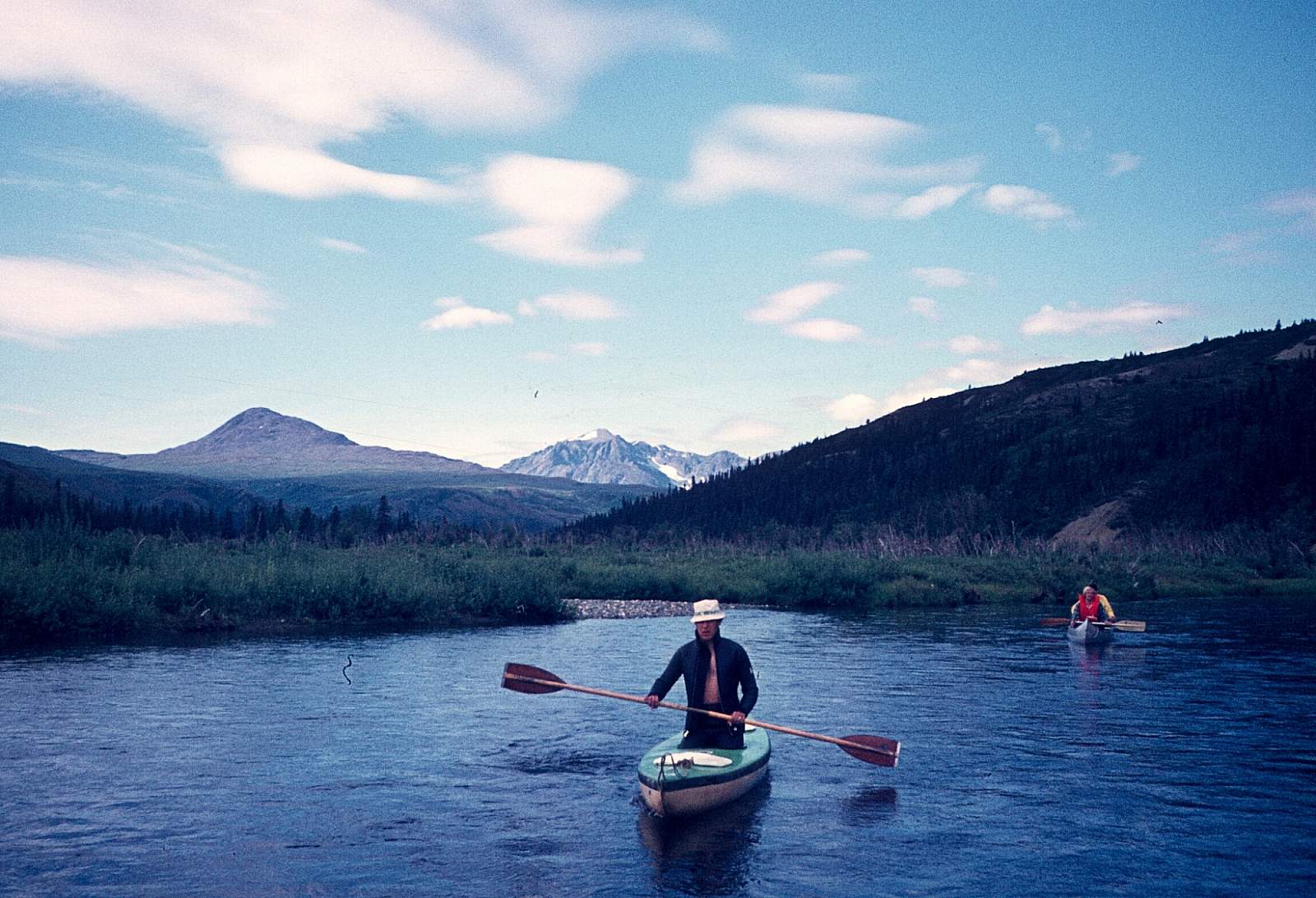
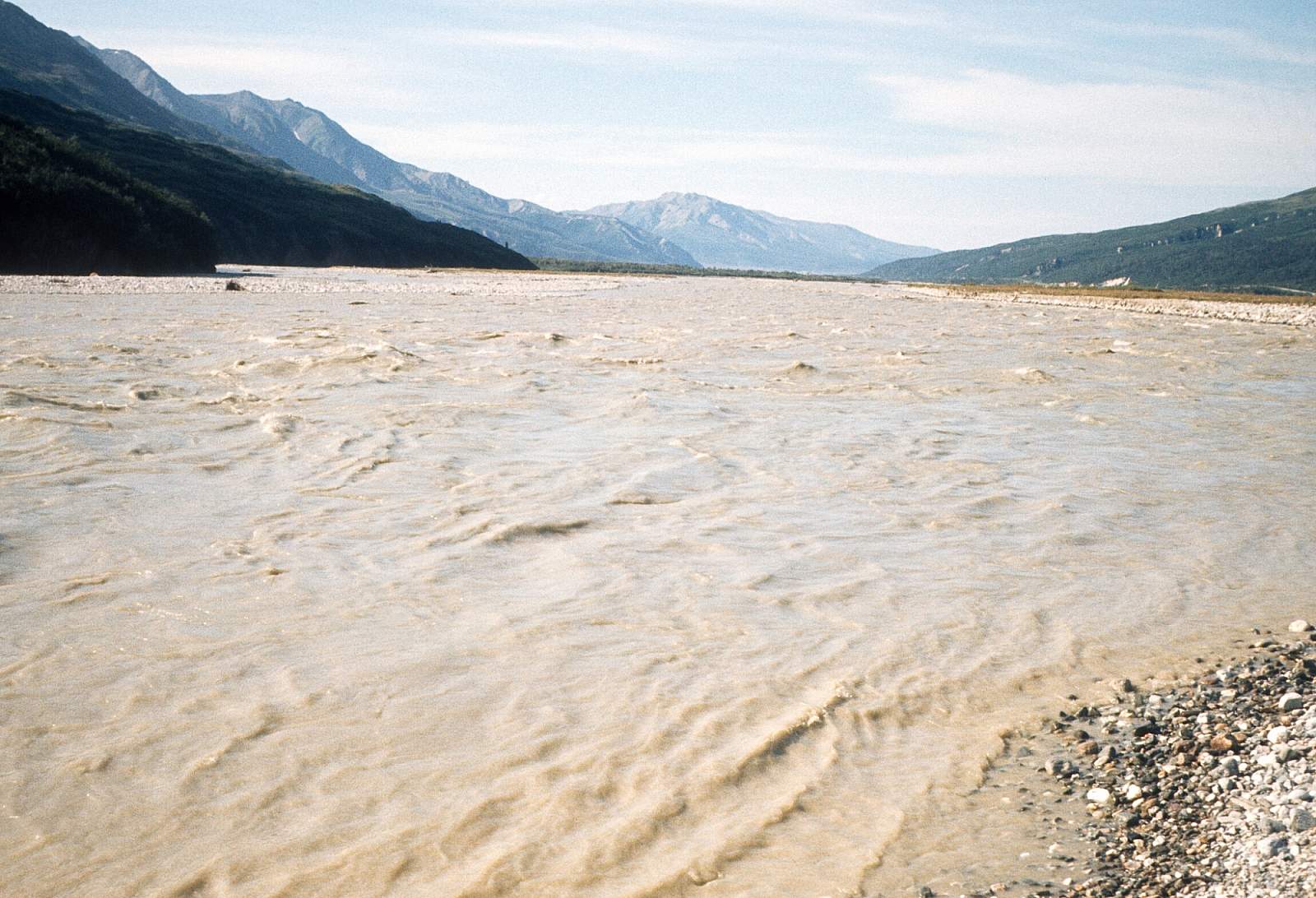
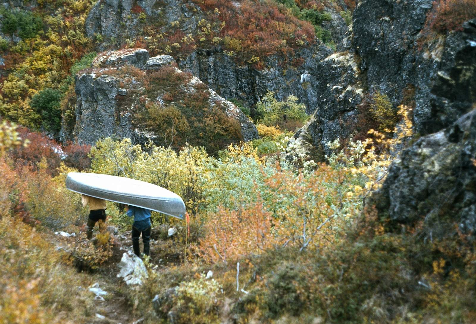
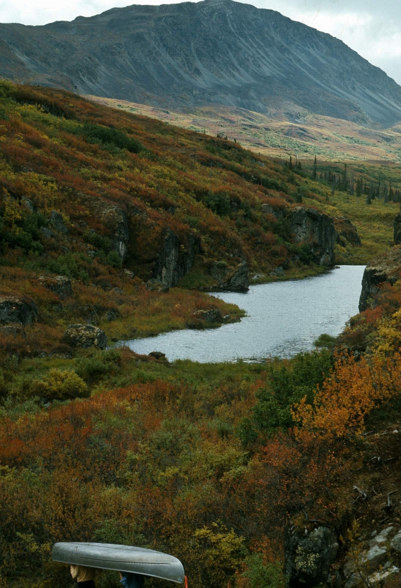
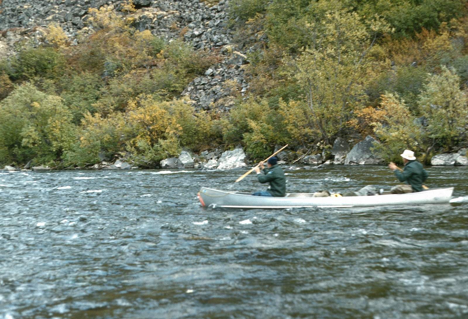
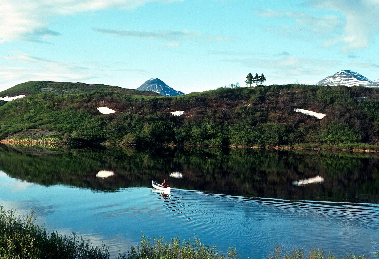
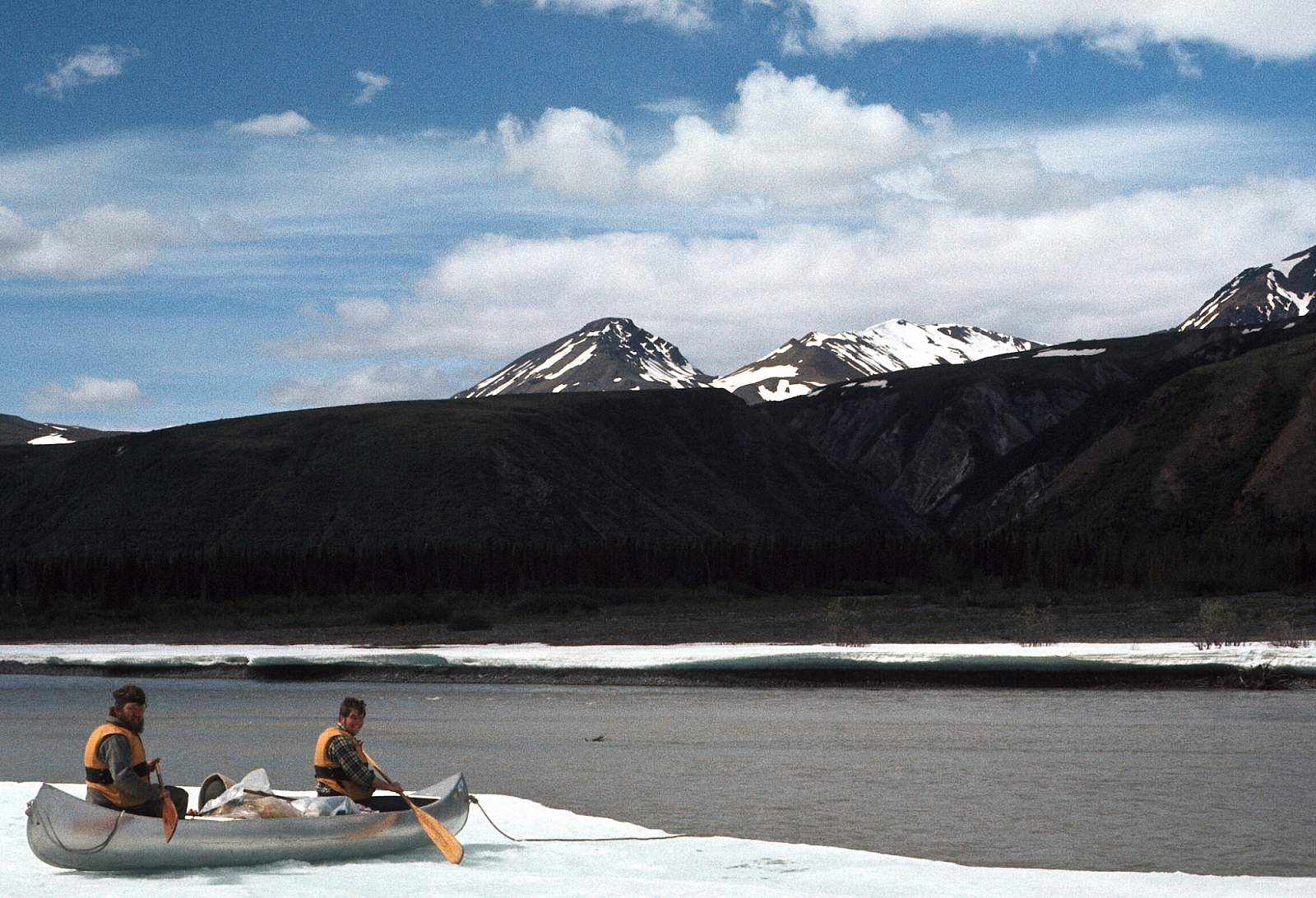
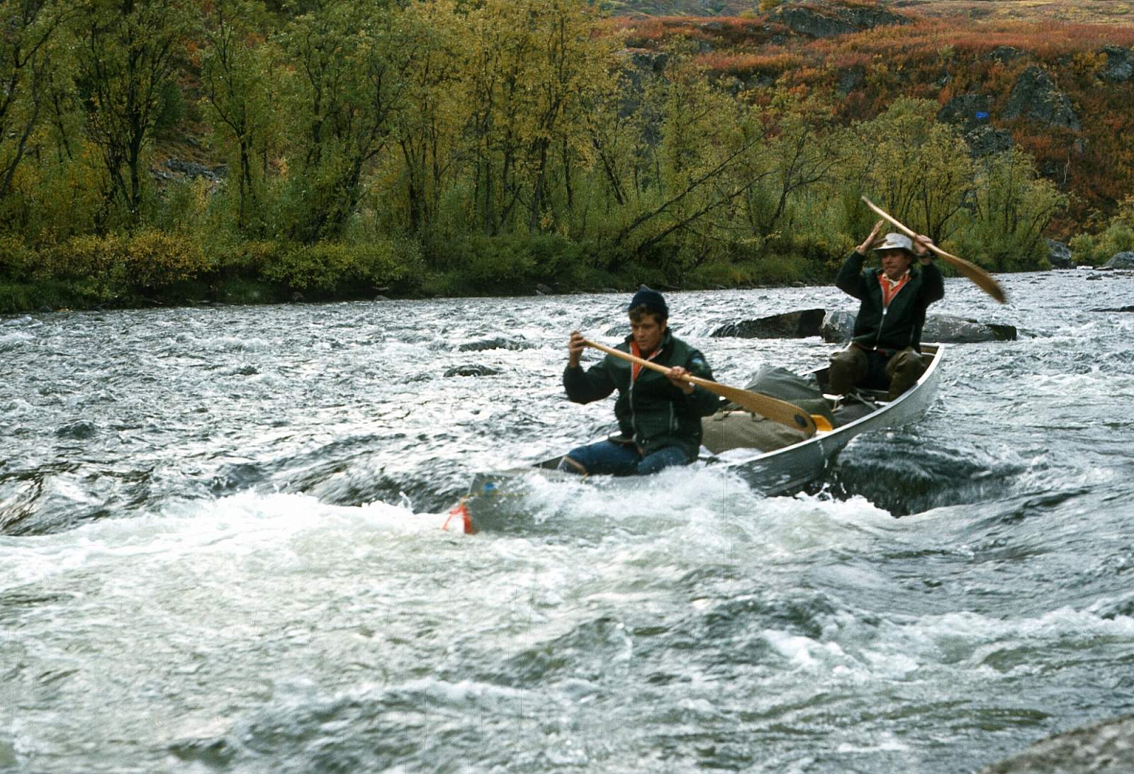
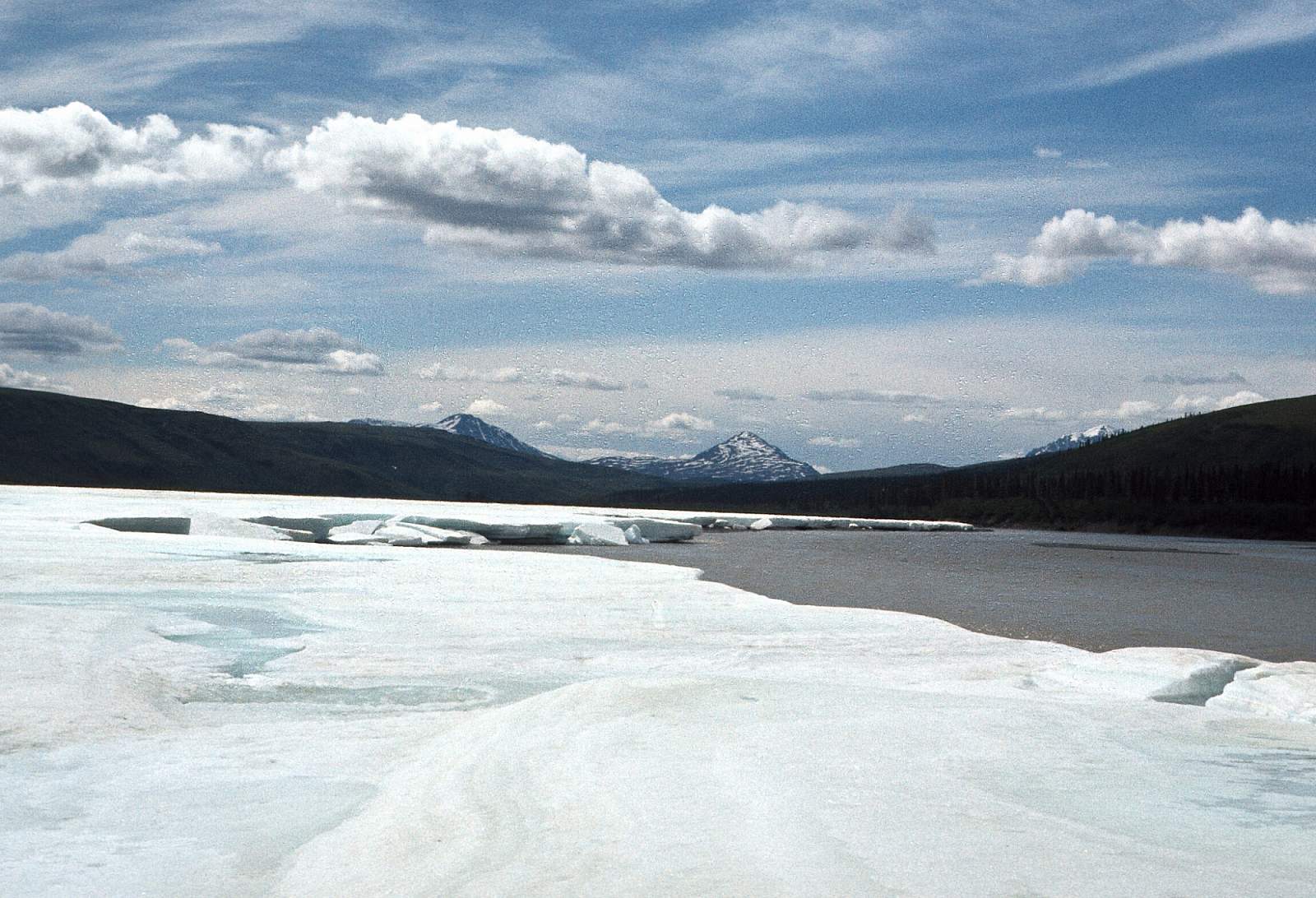
From the boat launch at the Tangle Lakes Campground you have four lakes to traverse with each lake connected by a short bit of moving water. The 1.25 miles below the last lake is a shallow, rocky section and 2 miles below the lake, the river takes a dramatic right hand turn and enters a dramatic half-mile long canyon. This is where the river becomes non-traversable falls and a maintained portage trail on the river’s right takes you past them. After the falls, there is a two-mile stretch of Class III river and you should traverse over to the left side to run this section. If you choose to line this section stay on the right shore. After this is a 12-mile section of Class I with huge views of Mount Hayes to the west. Where Eureka creek enters from the right is where the river becomes very glacial in character and 7 miles below is the takeout for this long weekend trip. Stop on the right side of the river where the highway abuts the river at mile 121 opposite Ann Creek and below Phelan Creek.
Mile 121 to Mile 229: 17 miles
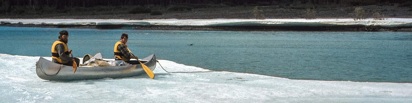
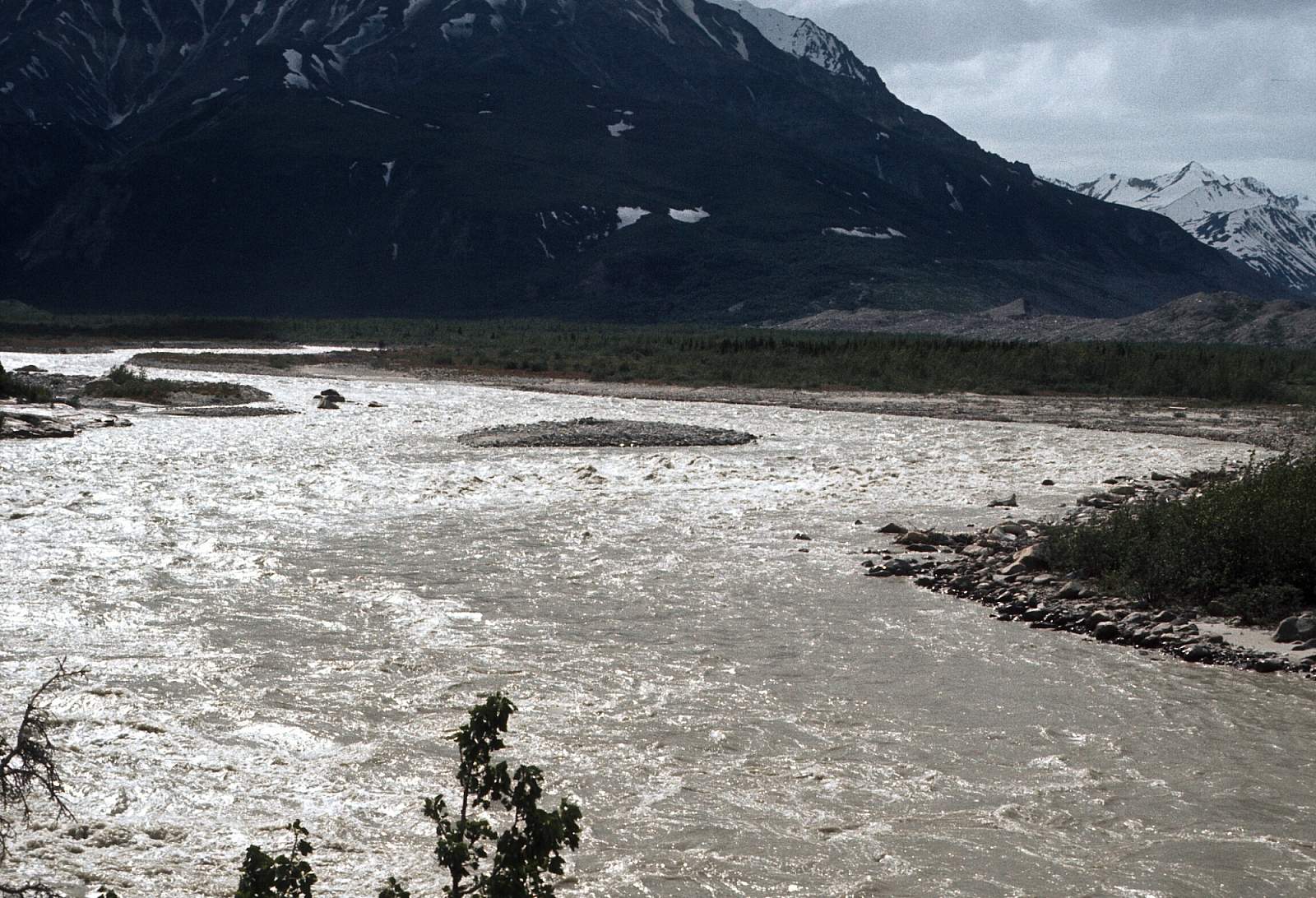
This is the section that is a long continuous run through cold water with big waves and strong hydraulics to avoid. Near the Black Rapids Glacier snout is the section known as the Black Rapids. Those in canoes will likely line much of this stretch and rafters and kayakers will delight in the challenging run. As you float this section you will notice first, Miller Creek, then Castner Creek entering from the right. A few miles further an Alaska Pipeline pump station can be seen. The Black Rapids is at Mile 40 and is a two-mile section of very fast water with 6-foot waves and huge holes to miss. It is easy to scout from river right.
Mile 229 to Tanana River: 48 miles
Below the Black Rapids the river enters an area that is blasted by headwinds and has wild buffalo cruising the shoreline. Countless braids will keep you guessing which way to go.
More Advice
- No open canoes should attempt the Black Rapids.
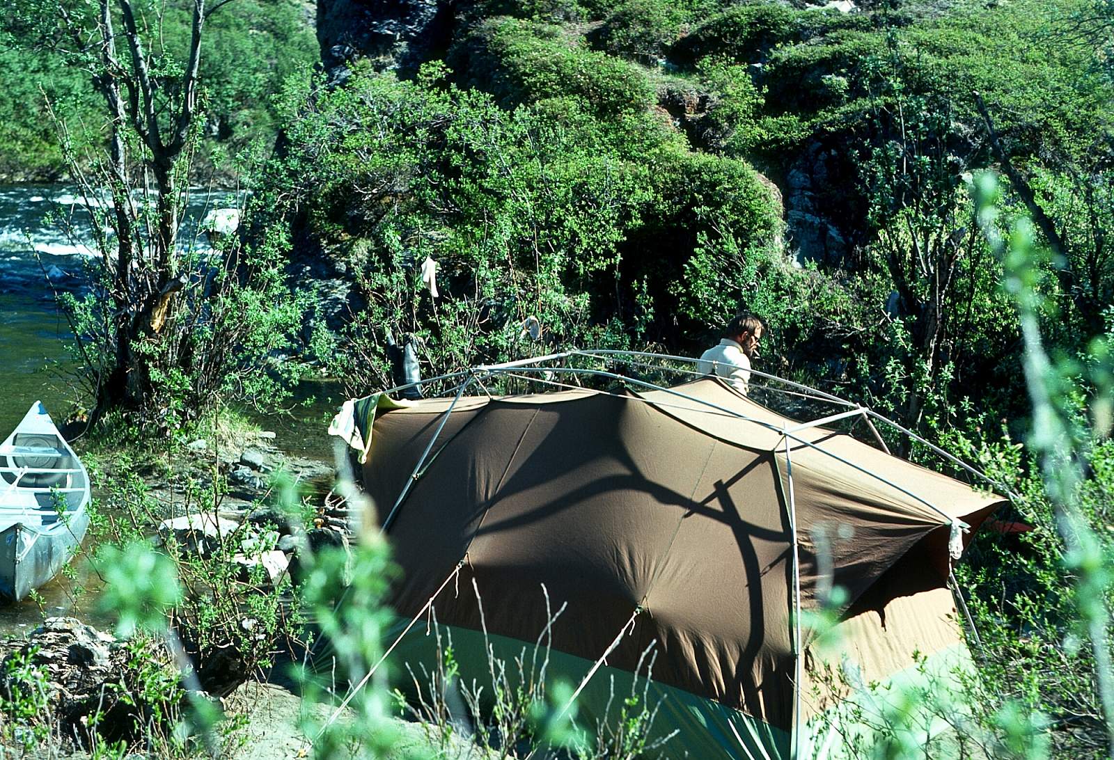
- There can be epic headwinds blowing up river all through here and camps should be located accordingly. Fortunately, the winds will keep the mosquitos at bay.
- The portage around the falls is absolutely mandatory and is less that a half mile.
USGS Maps
Mount Hayes A-4, A-5, B-4, C-4, D-4
Big Delta A-4
Distance
46-94 miles
Days
2-4
Difficulty
Moderate
Class
I, II, III, IV
Craft
Kayak
Raft
Cost
$