Why Take This Hike
After a 1-hour drive south from Anchorage to Girdwood, you can hike the first few miles of Crow Pass Trail and along the way you’ll find glaciers, waterfalls, wildflowers, wildlife, mine ruins, and berries (in late August and September). Hiking is not recommended in winter due to avalanches, but the trail is usually relatively snow-free by late June (though the Crystal Lake basin, south of the pass, and some of the gullies north of the pass may still have snow well into the summer).
Considered to be one of the best hikes in all of the Chugach Mountains, Crow Pass follows a portion of the original Iditarod Trail, including its highest point. End to end, it’s a 21-mile trail, which most people do in 2 days, but just the first 4 miles will lead you past some breathtaking scenery.
The Details
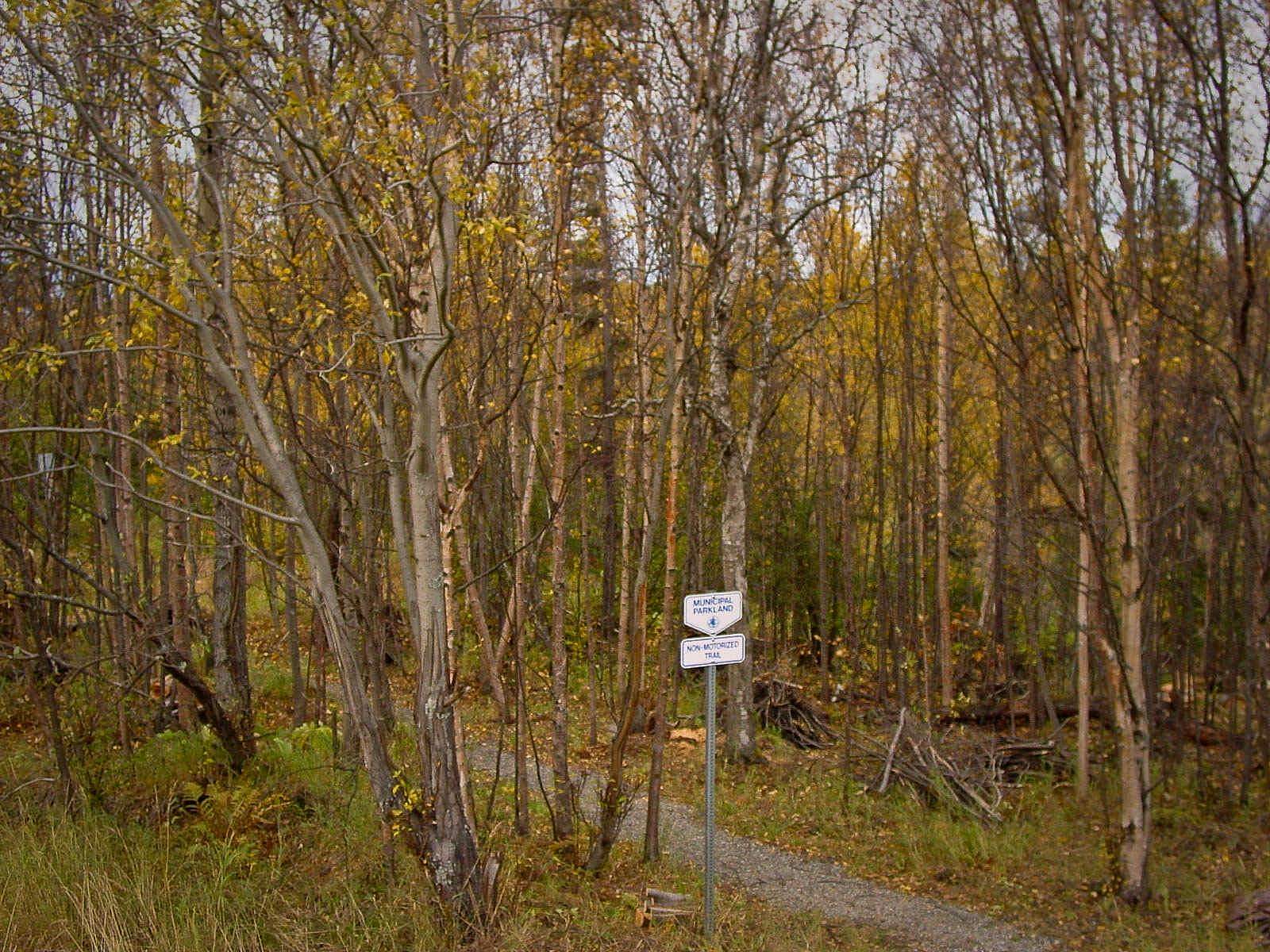
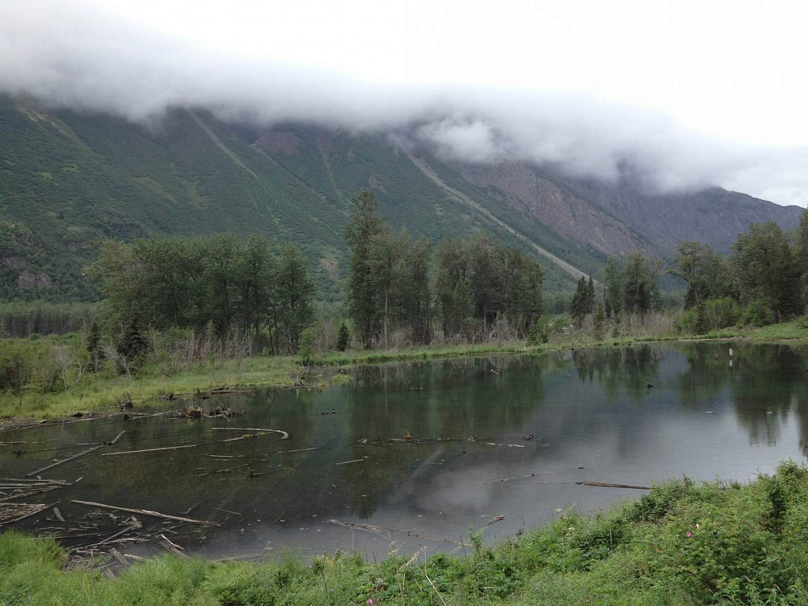
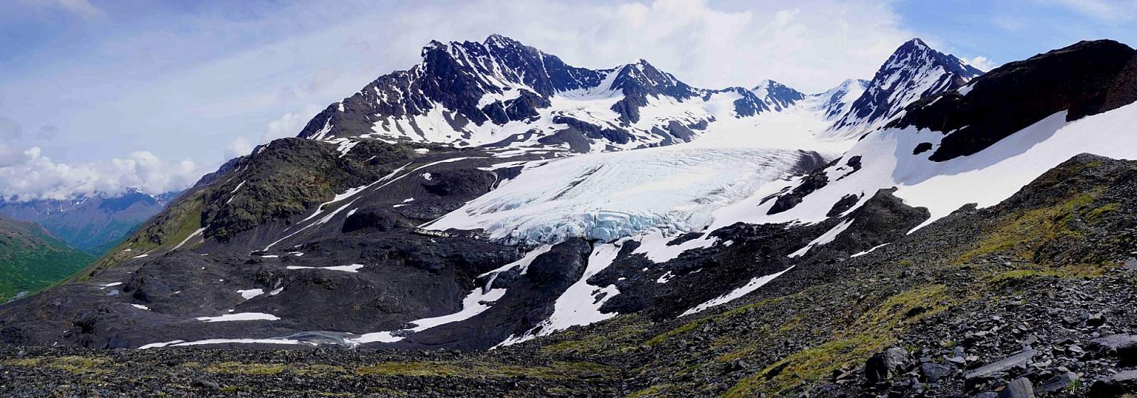
Starting in Girdwood, take a scenic drive up the 7-mile length of Crow Pass Road to reach the trailhead. Along the way, the mountains seem to rise higher and higher, and near the upper end you can look almost straight up to the snout of Milk Glacier on your right.
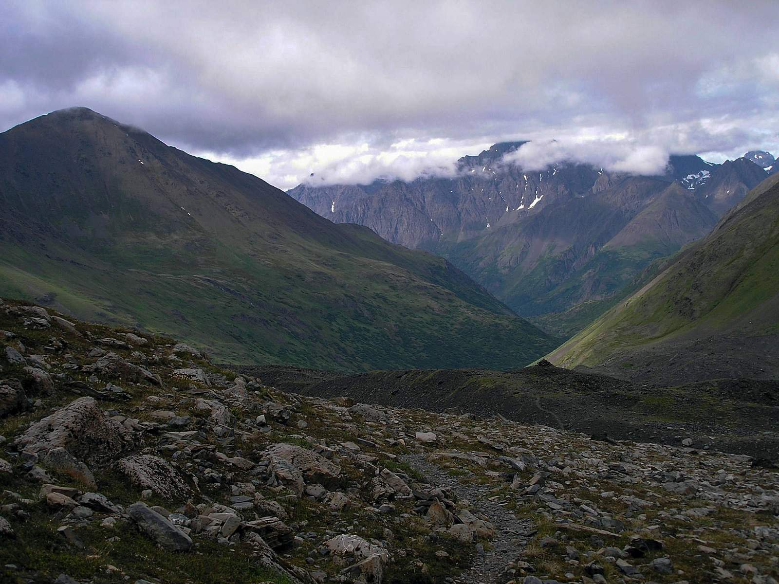
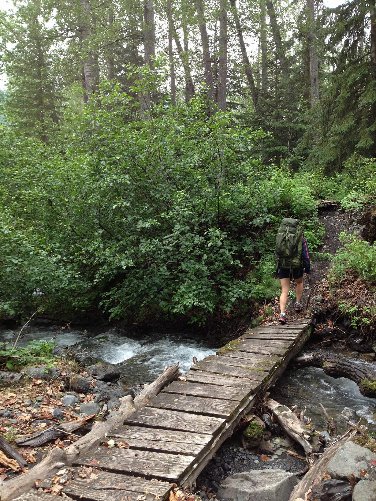
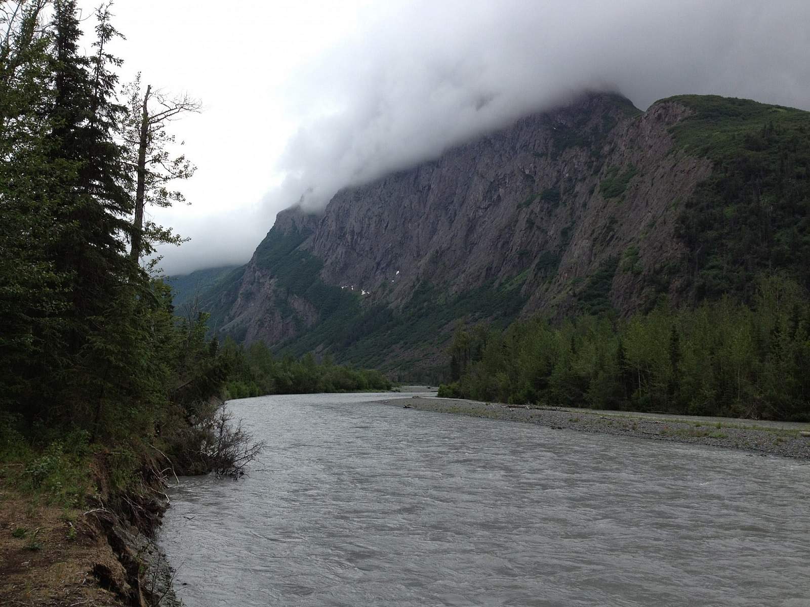
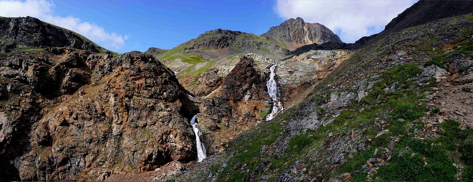
The same steady increase in dramatic views occurs on Crow Pass Trail. You begin hiking through a thick abundance of willow. Less than 0.5 miles later, you’ll turn around the corner of the valley and start up the wide Crow Creek Valley. Soon you’ll pop above tree line, where you’ll have unobstructed views of the mountains on either side of the valley. You can also see, some 3 miles ahead, mountains rising above the pass. Here you’ll also begin to pass remnants of the many mining operations that once filled this valley with the noise of drills and dredges.
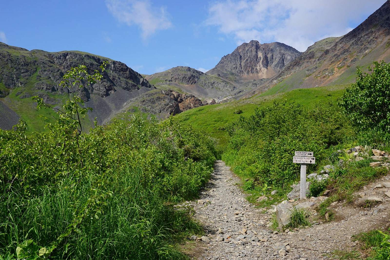
Not long after climbing above tree line, you’ll reach a junction. Both trails climb to Crow Pass and both take about the same amount of time. The lower trail, however, will take you much closer to the falls in the center of the valley, 2 miles away.
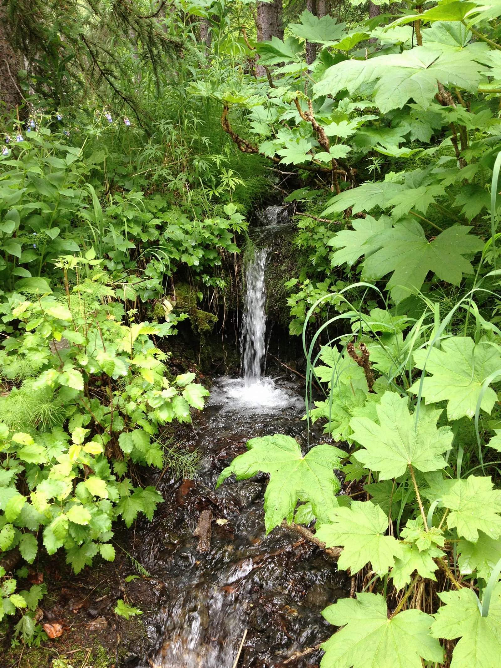
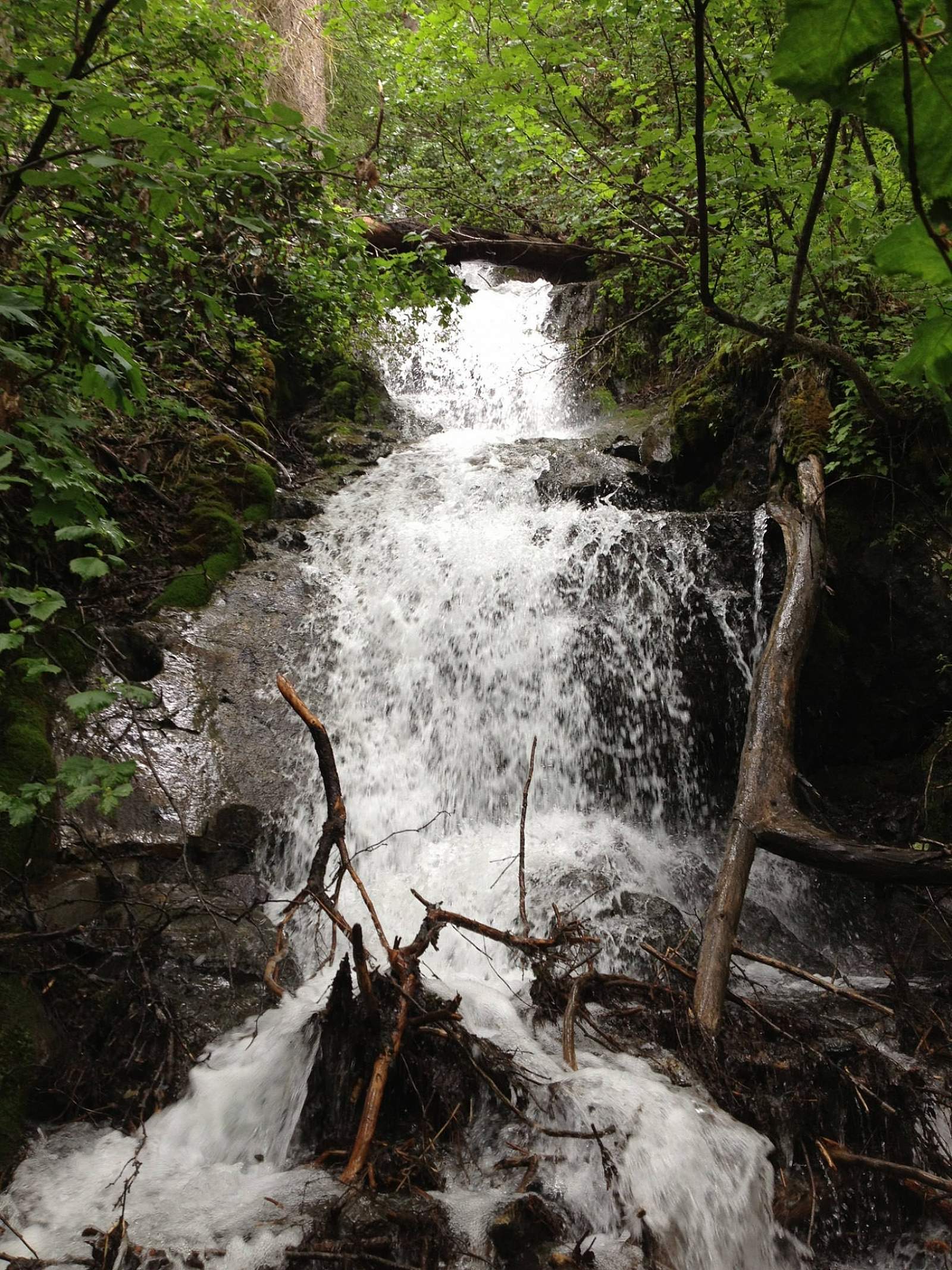
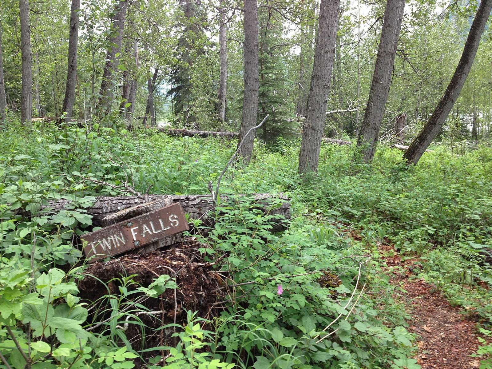
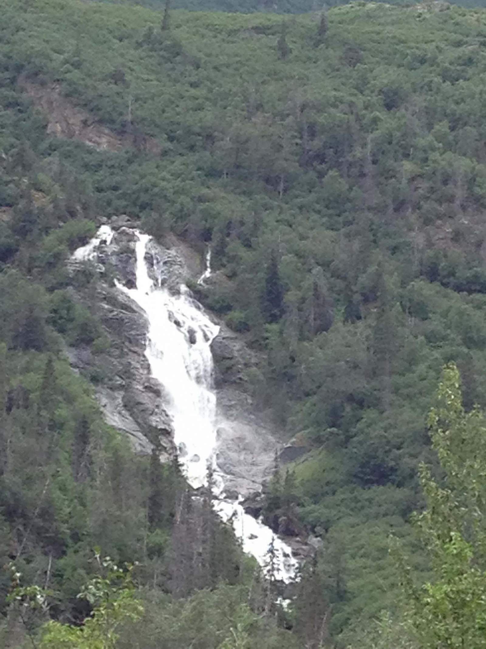
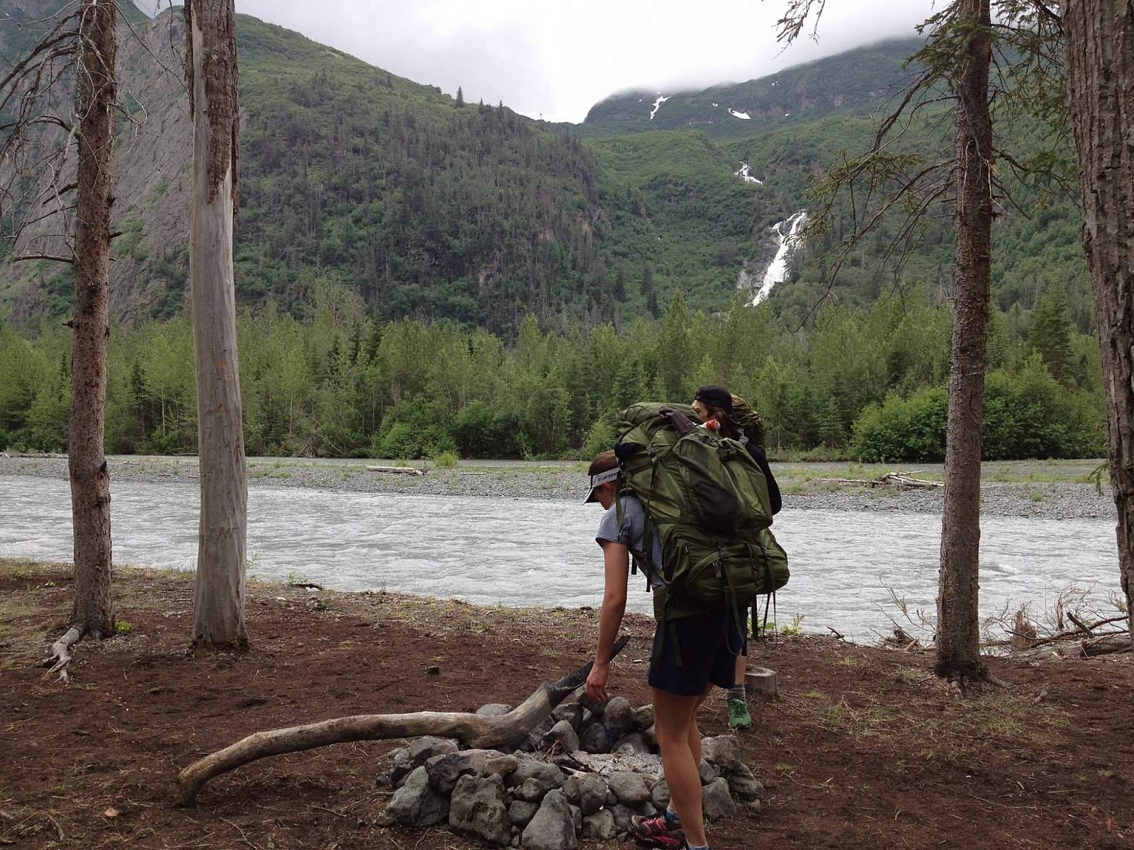
After passing a number of rusted mining ruins of the Monarch Mine, you’ll be able to look directly up the rock-walled gorge of the falls. The mines were active from 1909 to 1938 and just after the turn of the 20th century, hundreds of prospectors heading for other parts of the state on the Iditarod Trail passed the Monarch’s undiscovered vein without knowing it. Depending on the wind, you may even feel the spray spewing out of the gorge. As you climb the switchbacks bordering the creek, turn around often for a deeper view into the massive columns of falling water. You’ll even come across a short side trail that sidles down a very precipitous ledge to the corner of the gorge. There you can truly feel the spray and splash of the falling water as it rumbles down the rocky caves before you.
But you don’t need to venture dangerously close to marvel at the falls. You also don’t need to stop there. At the top of the switchbacks, the trail turns up a gentler slope that climbs to the top of the gorge. Here you can turn off the trail to the left and climb onto a grassy bluff from which you can look almost straight down the falls, as well as much of the way downstream toward Girdwood.
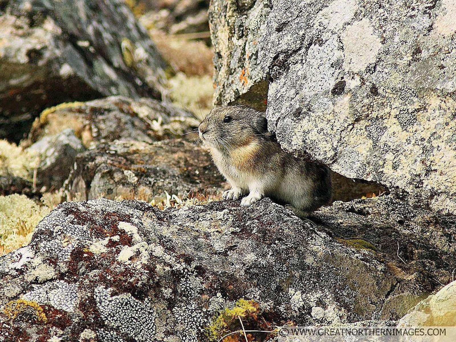
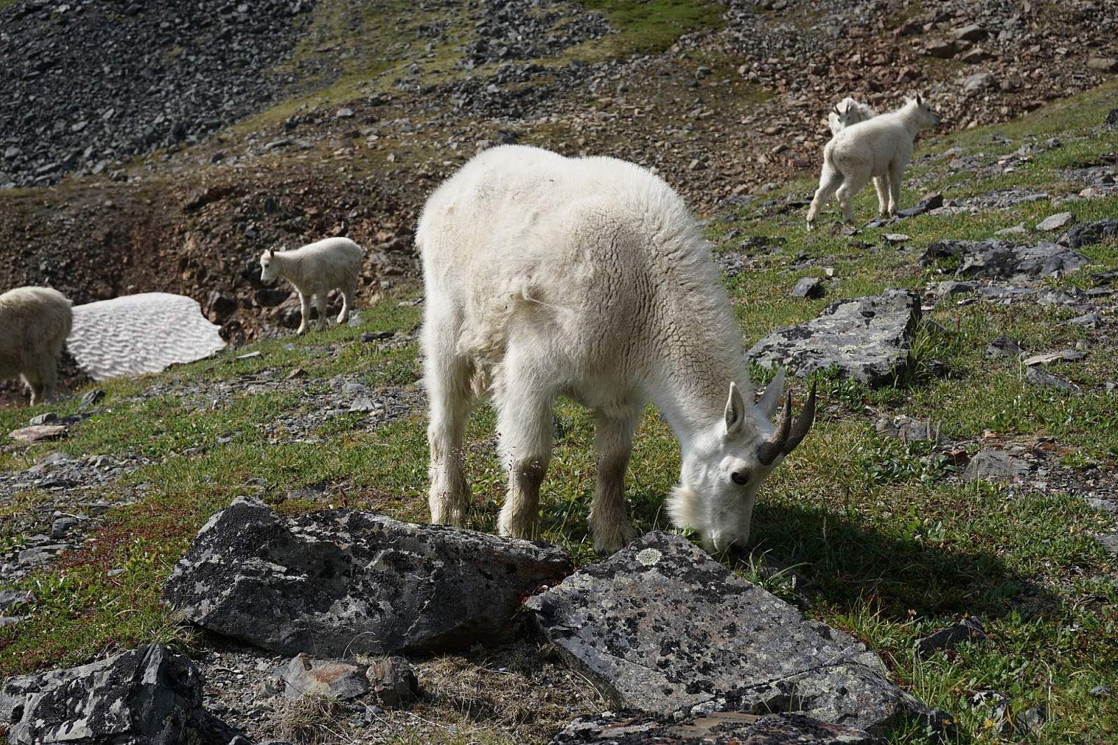
Here you also have a good chance of coming upon some of the resident mountain goats. Though they may seem very tolerant of your presence, they can quickly become angry if you get too close, too quickly—especially if you seem a menace to their kids.
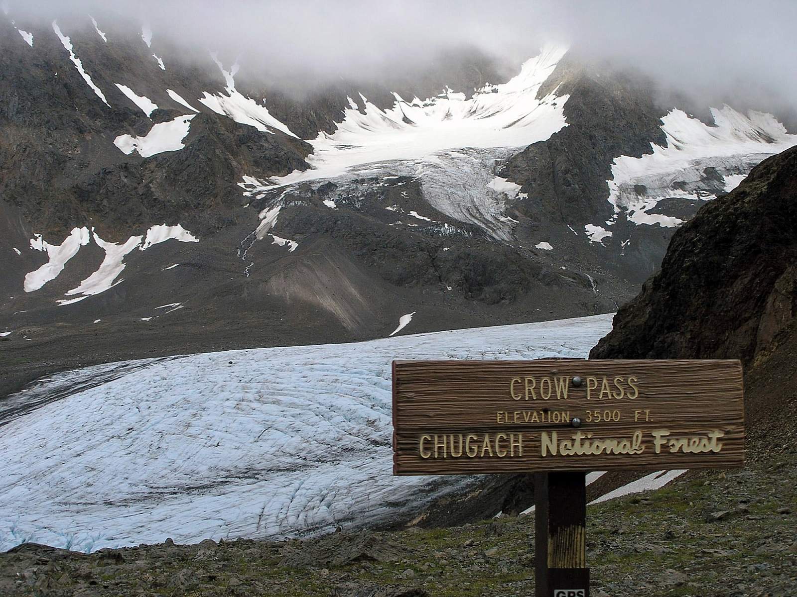
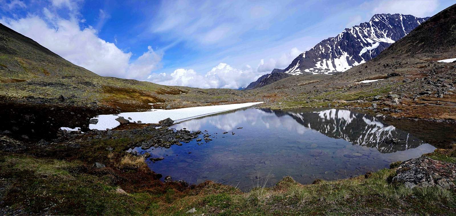
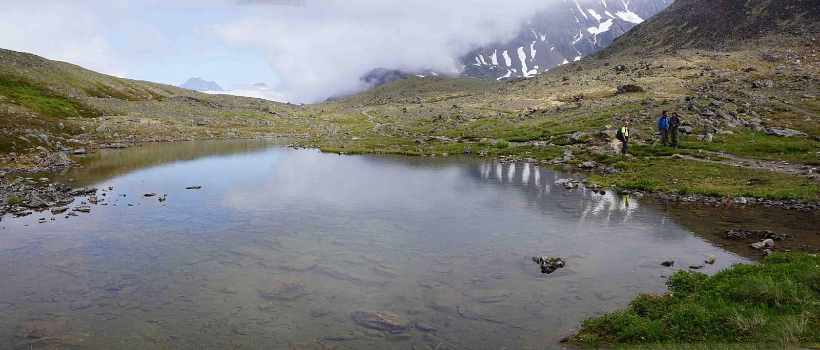
While the view from the bluff is very satisfying, the crest of Crow Pass is only a short distance away. Here you’ll find surprisingly large Crystal Lake, the major source for the falls below. If you’re feeling even more ambitious, hike the 0.5 miles across the length of the plateau to the actual crest of Crow Pass (3,883 feet).
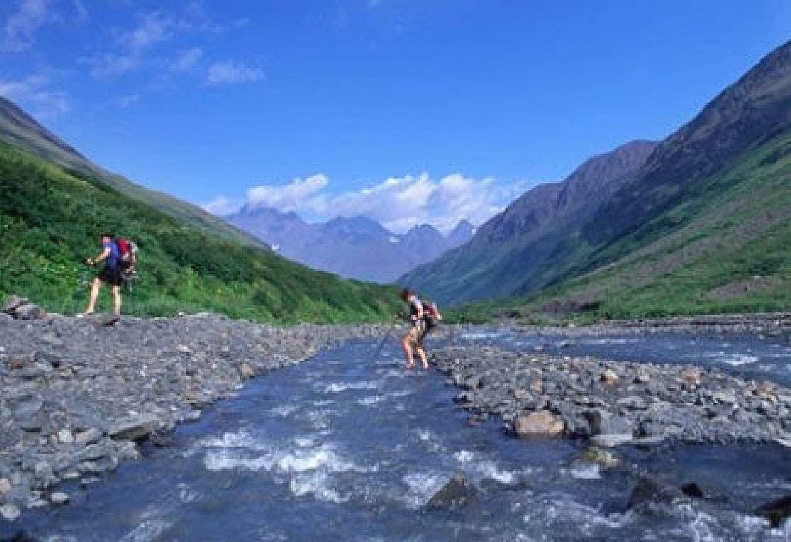
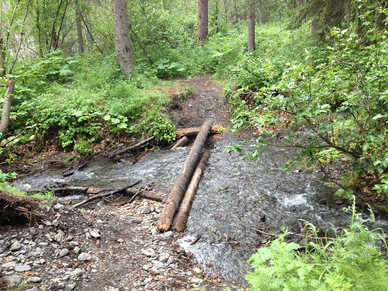
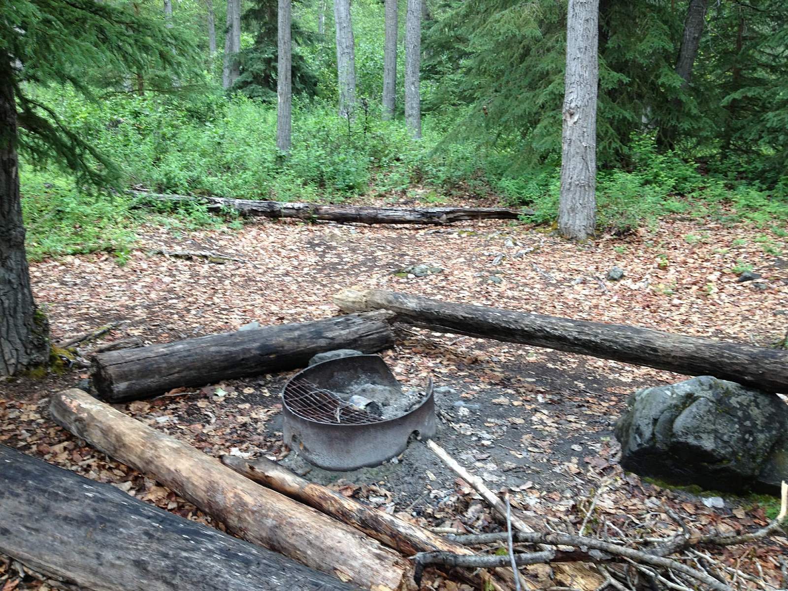
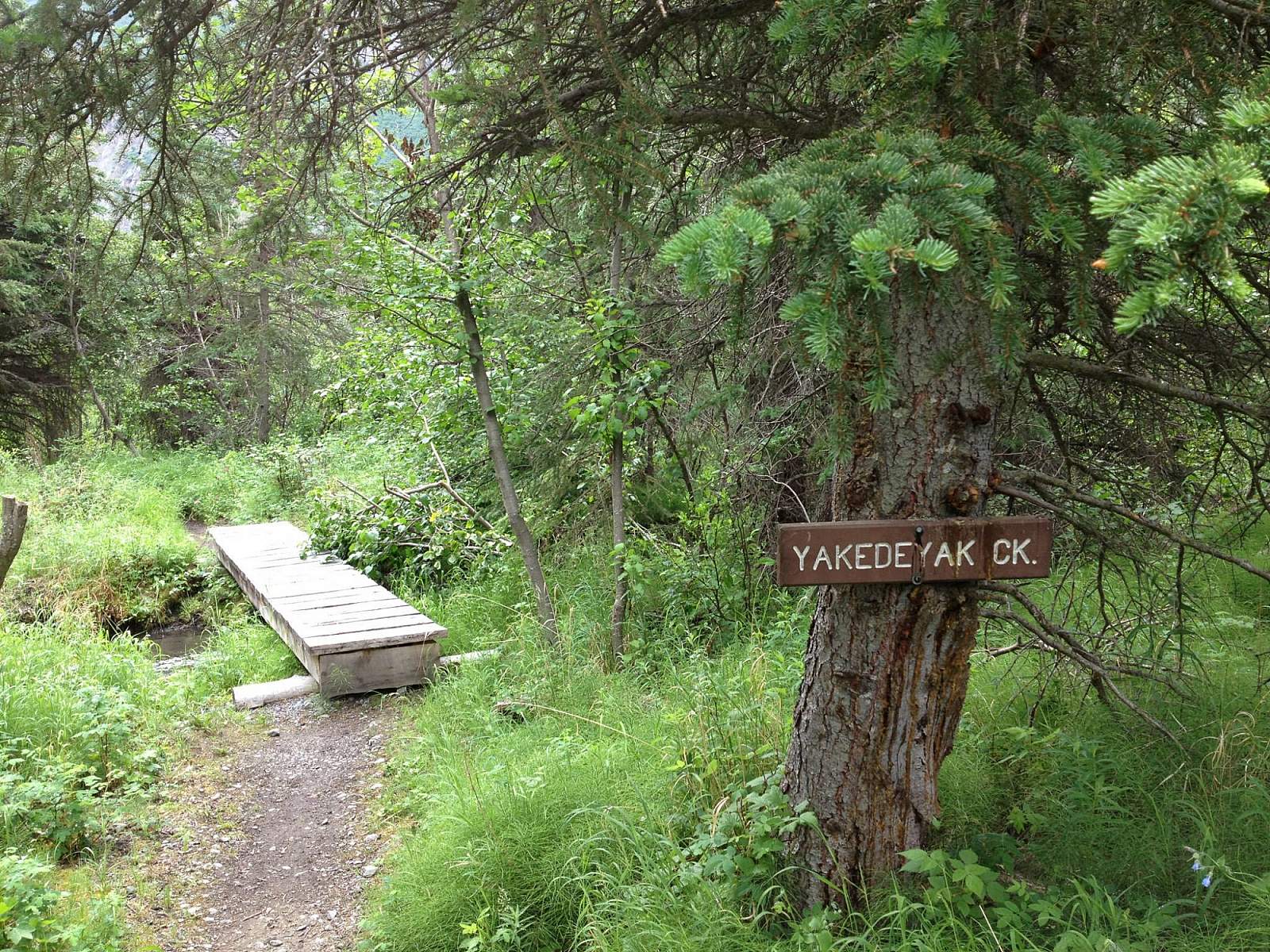
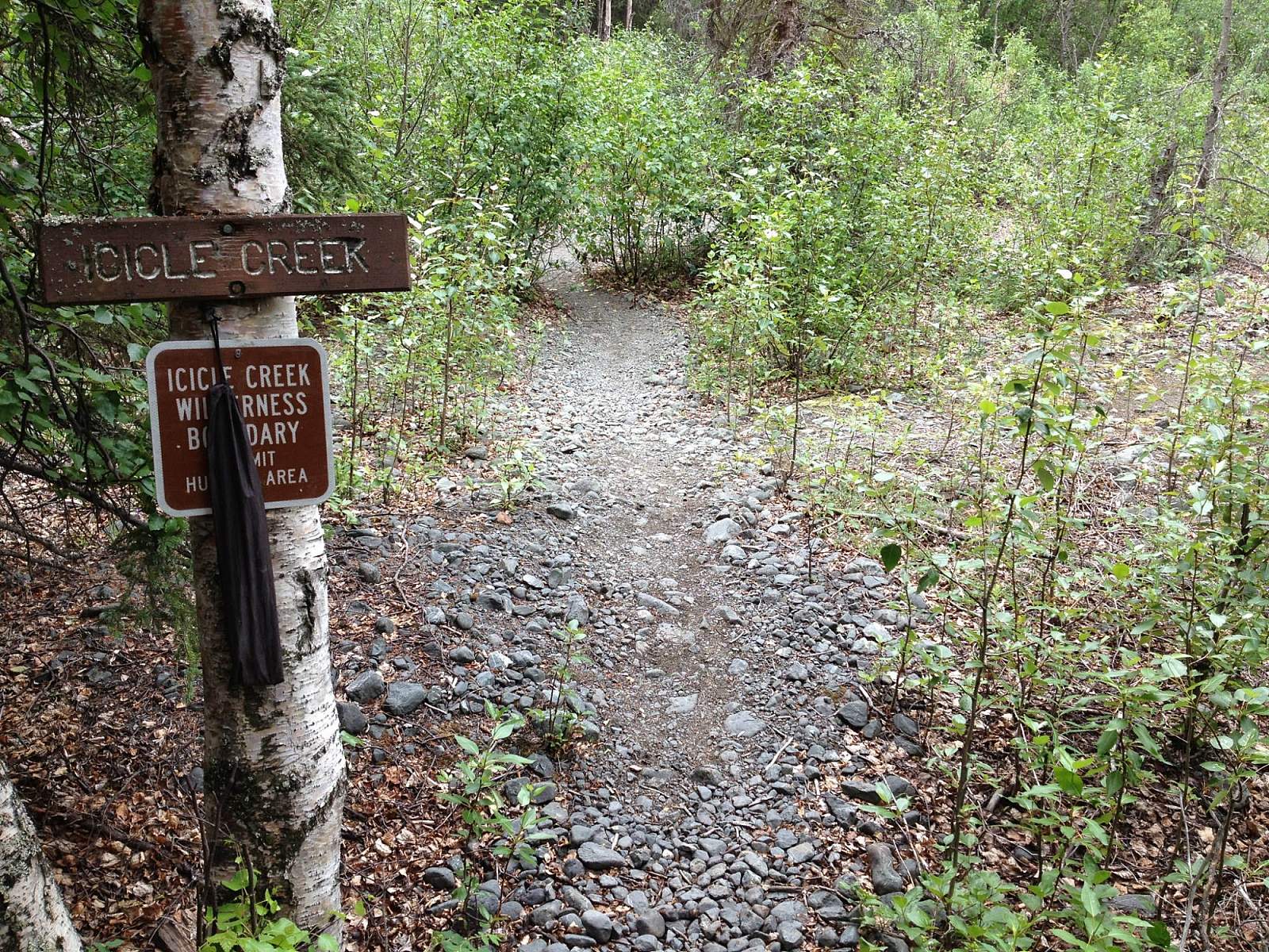
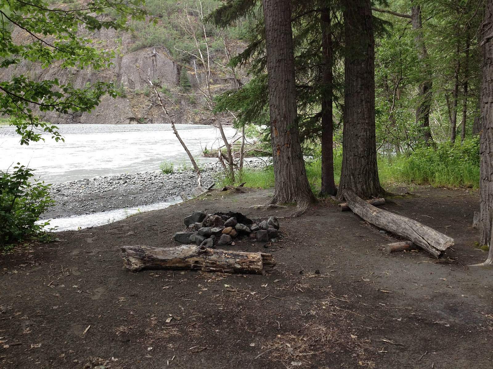
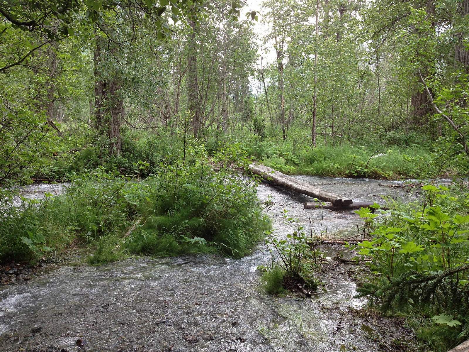
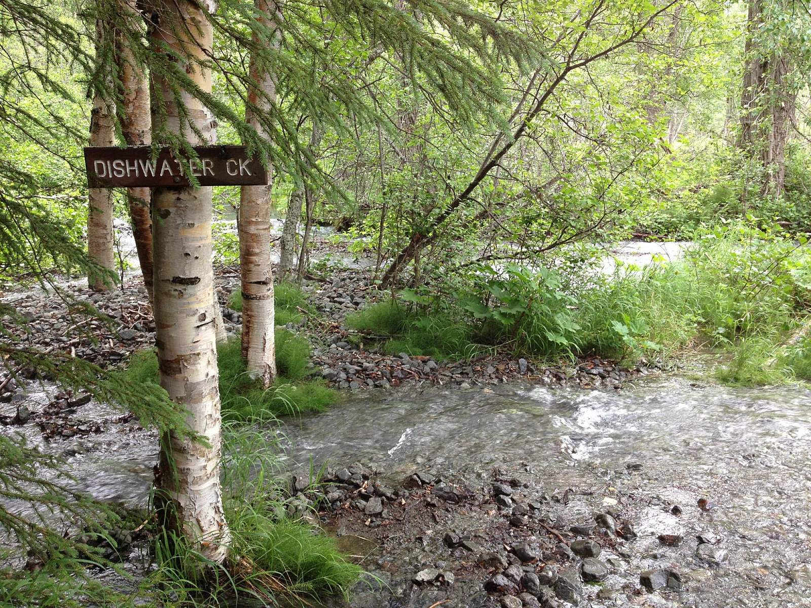
Remember to pay attention: the trail splits and re-joins a few times. The best rule is to stay to the right, which is at a higher altitude than the trail on the left, which can be inaccessible due to water. (Yet either may have places that require water crossing.) Near the end of the trail, several wooden posts will let you know that you're almost to the Eagle River Nature Center. Established campsites along the trail are located at mile 1.7, mile 3, mile 5.5, mile 6, and mile 9. Of course, plan to have a car waiting on the other end of the trail—it’s a 21 mile hike back to Girdwood!
(For more, see Walk-About Guide to Alaska, Volume One by Shawn R. Lyons)