Why Float This River
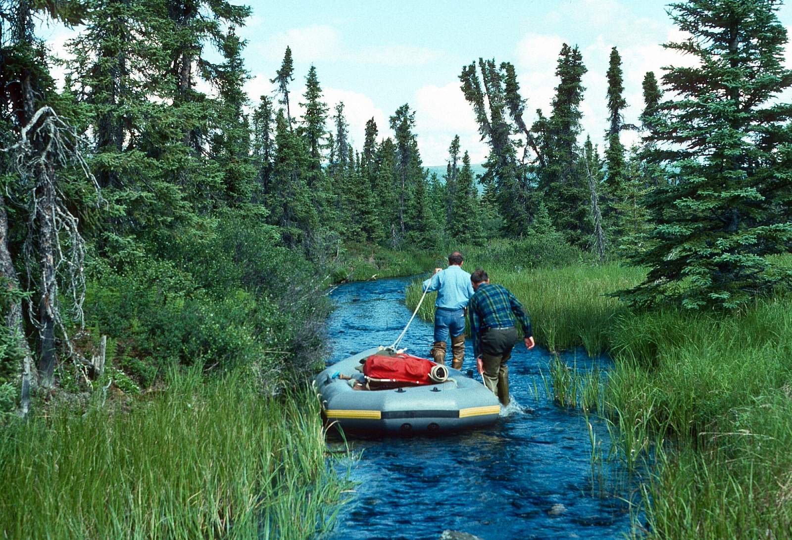
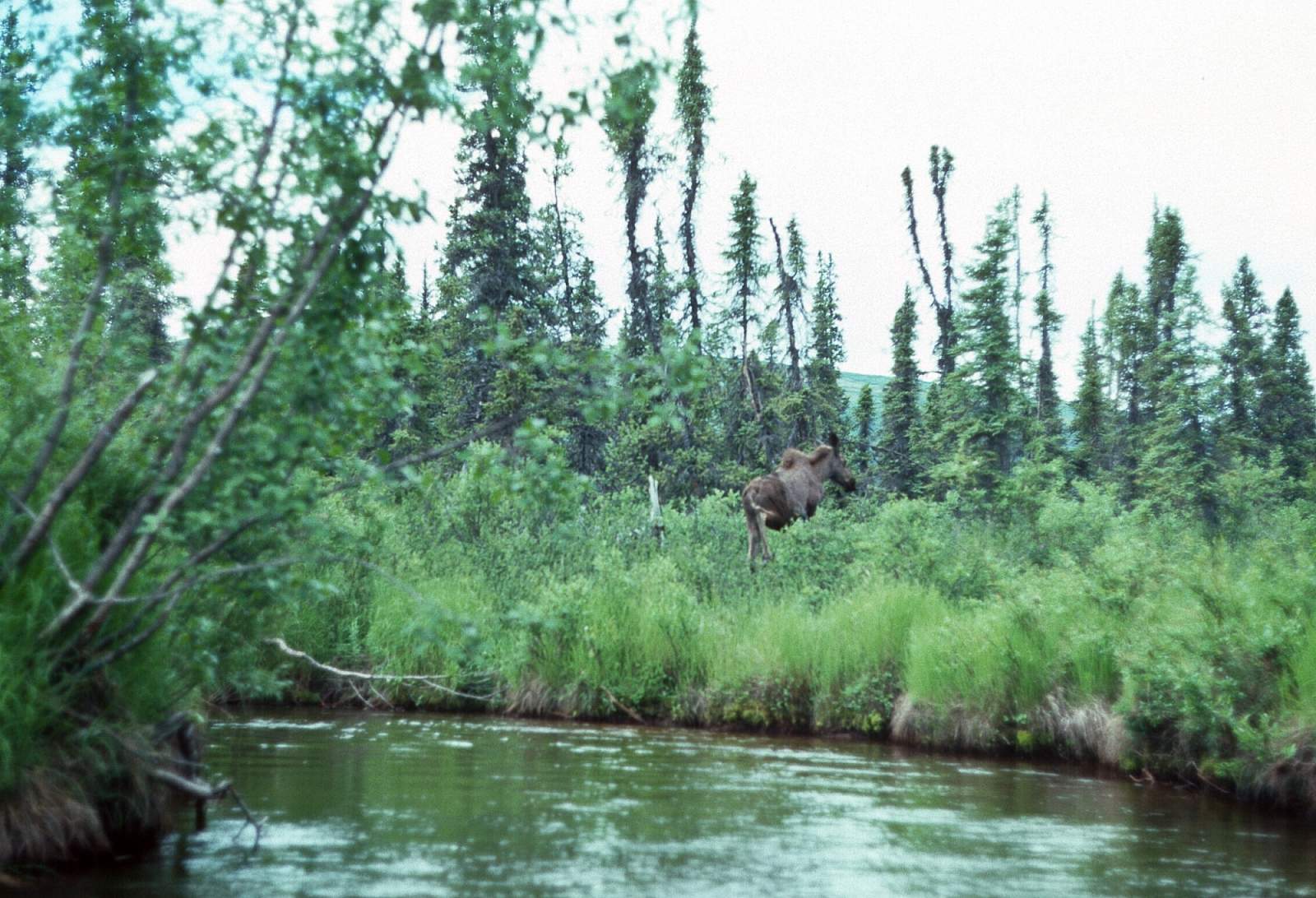
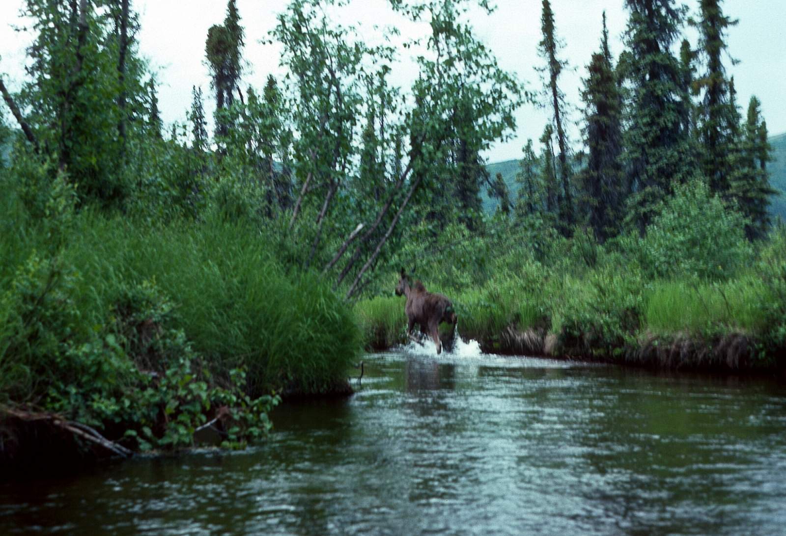
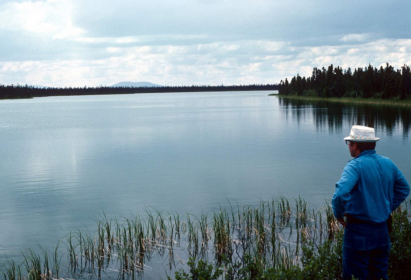
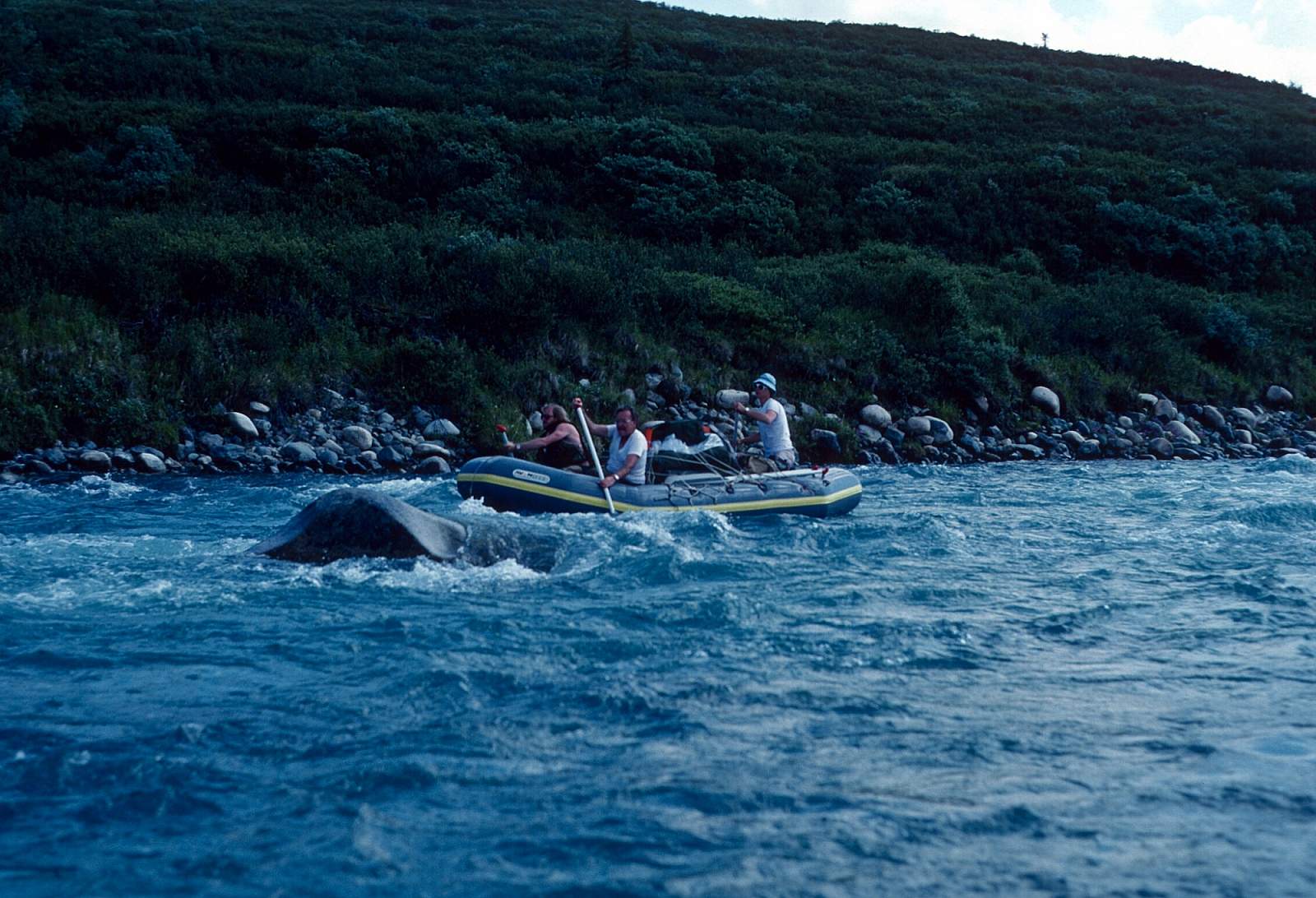
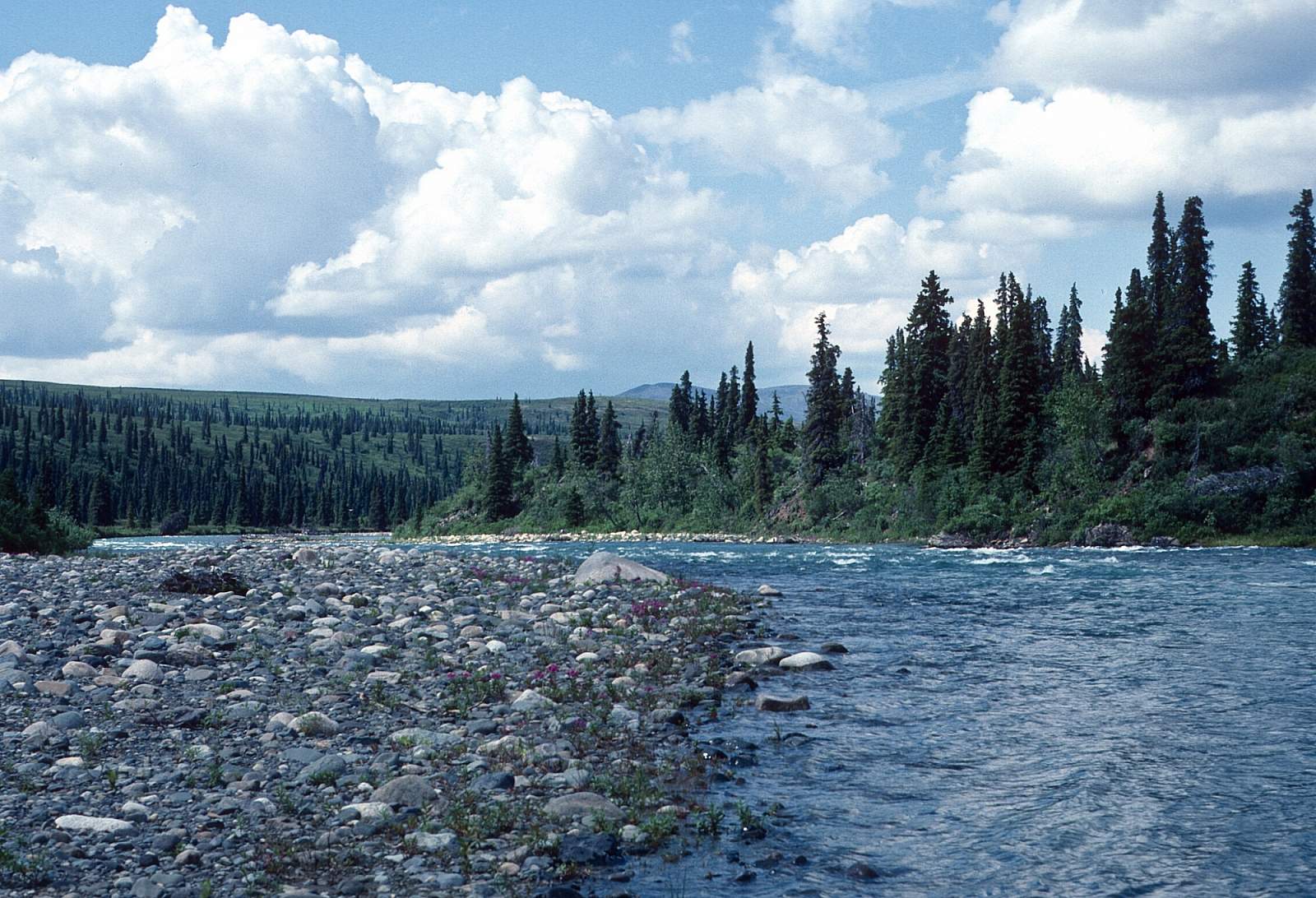
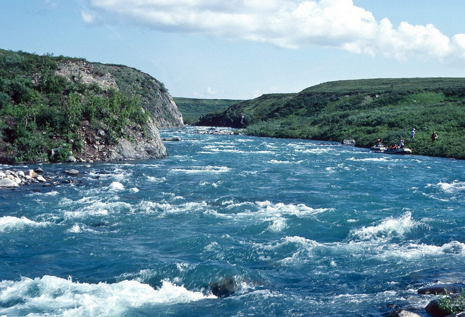
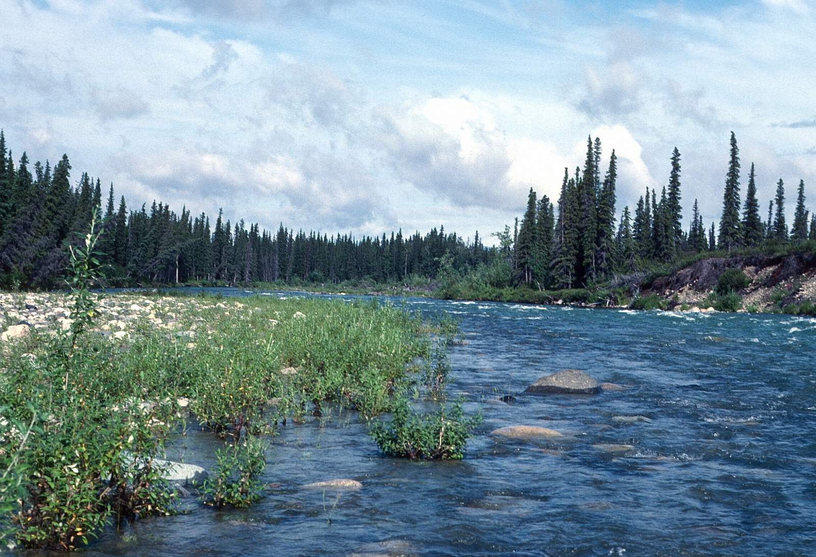
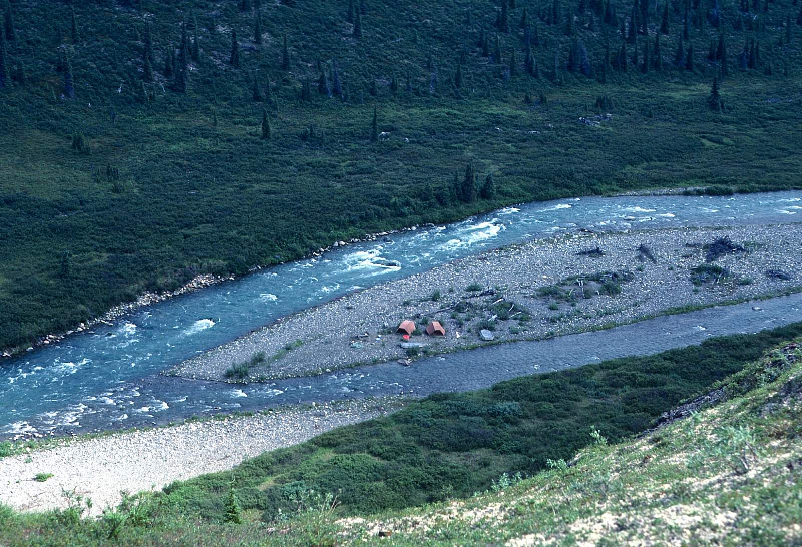
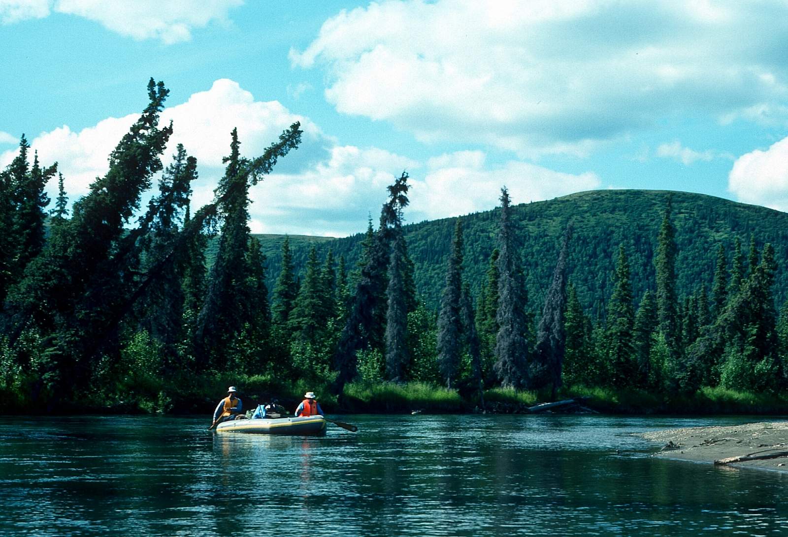
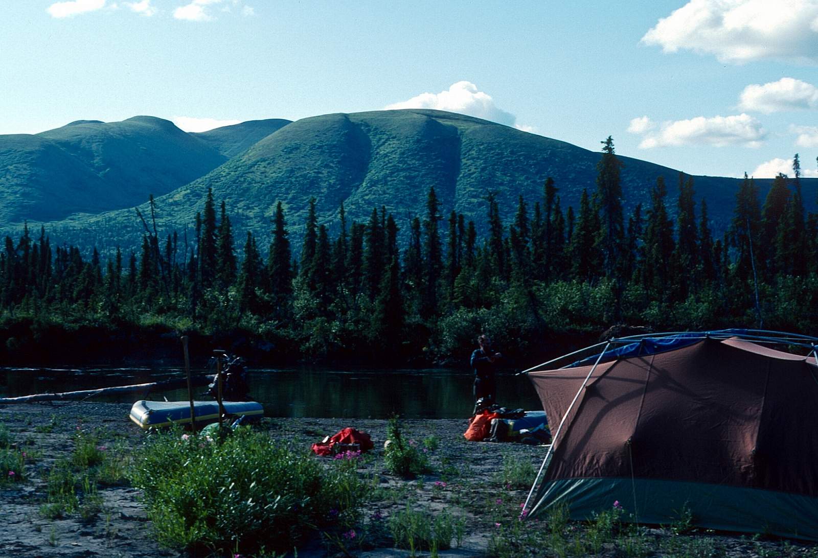
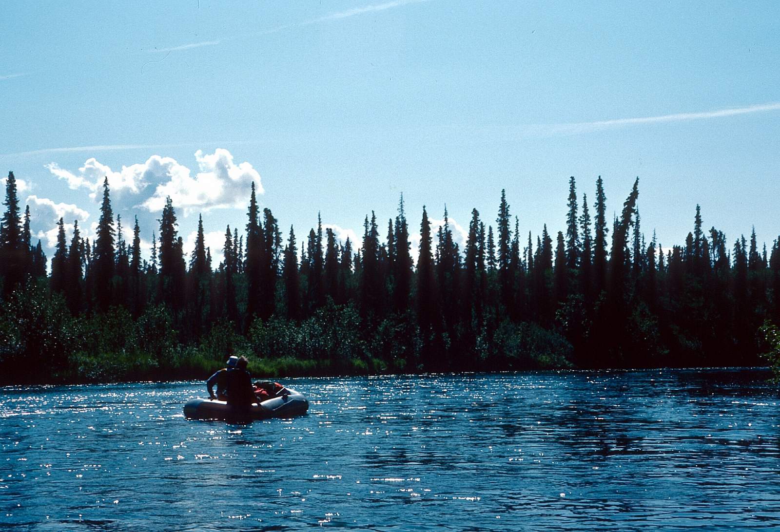
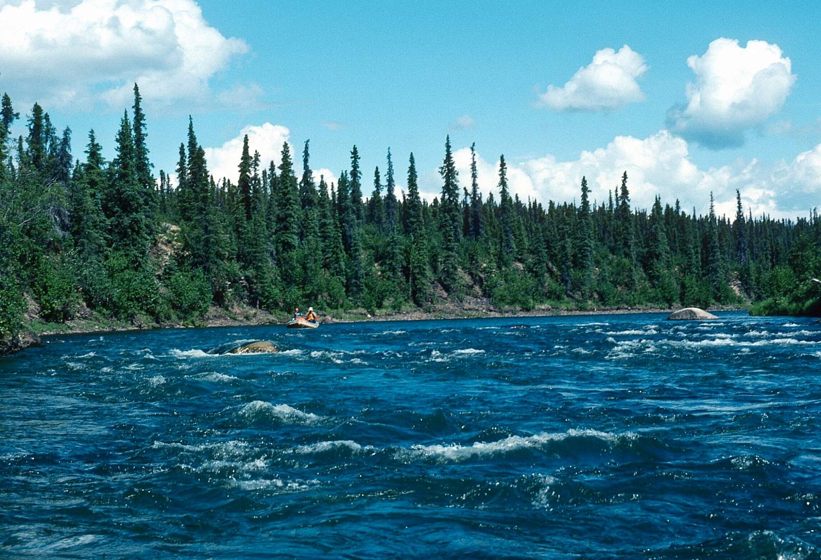
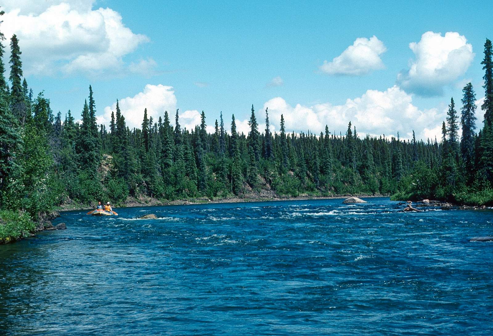
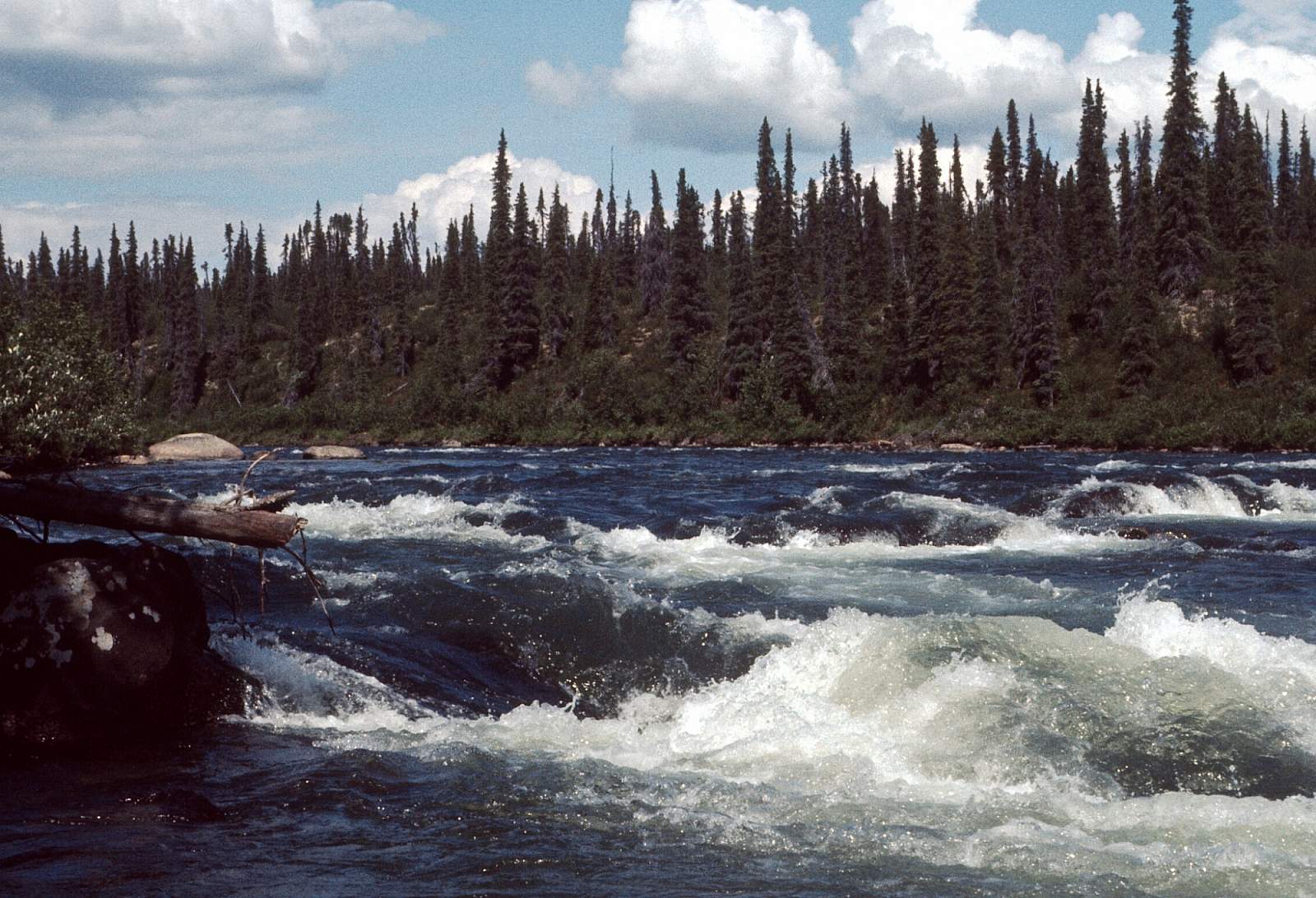
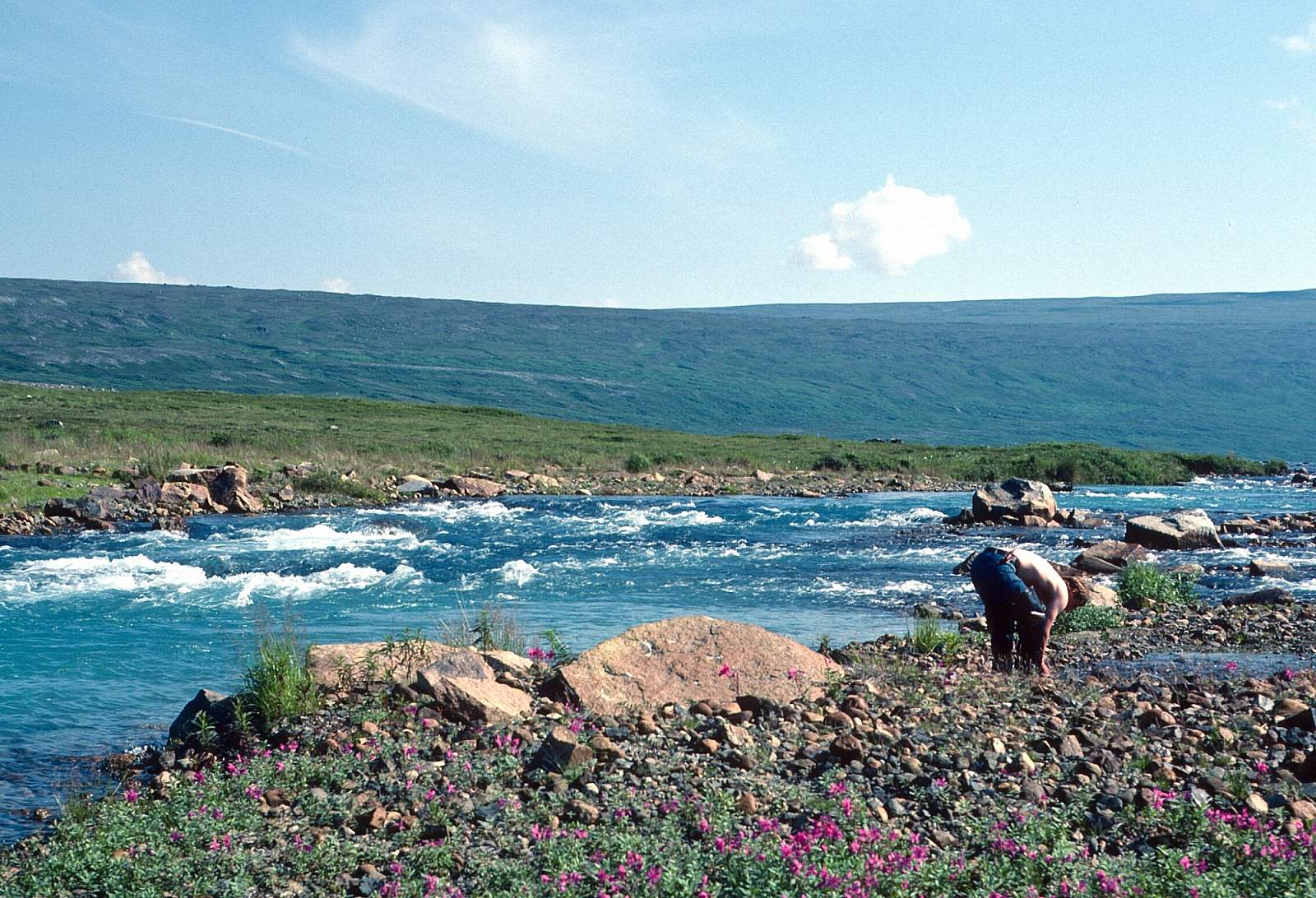
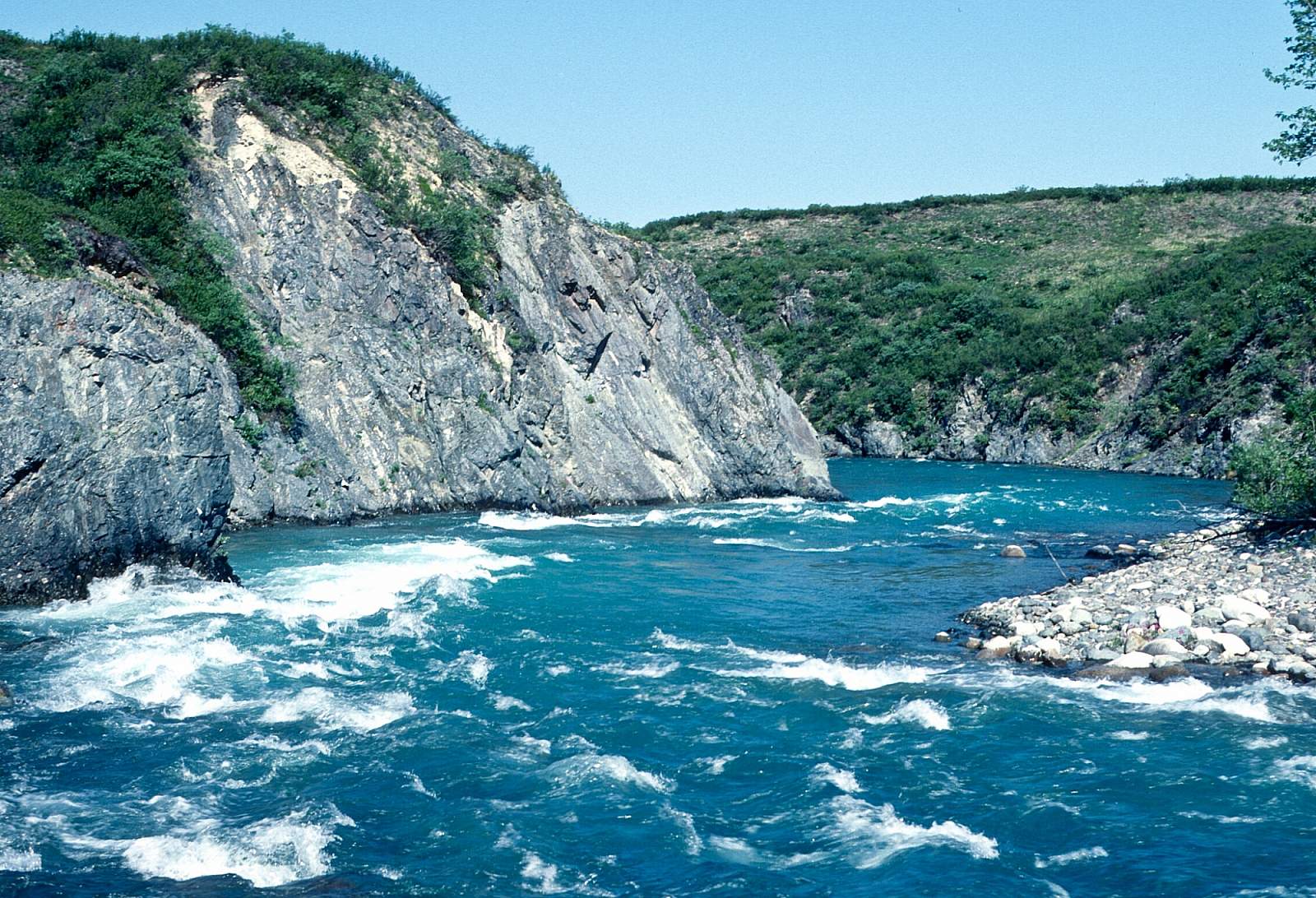
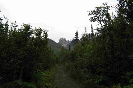
Originating in the Chigmit Mountains, the Mulchatna River presents a remote and challenging wilderness experience, flowing westward through Alaska's rugged terrain. This river, characterized by its swift currents and frequent channel changes, demands skill and resilience from those who navigate its waters. The upper sections can be shallow and rocky, transitioning to a canyon with a Class III drop, and then to a stretch marked by numerous log jams requiring portages. Despite these challenges, the Mulchatna offers solitude and the opportunity for multi-day trips, with ample fishing and camping spots along its sandy and gravelly banks. While less dramatic than its neighboring Chilikadrotna, the Mulchatna provides a demanding yet rewarding journey through a pristine Alaskan landscape, best experienced between June and September.
Mulchatna River GPS Coordinates
Dummy Creek
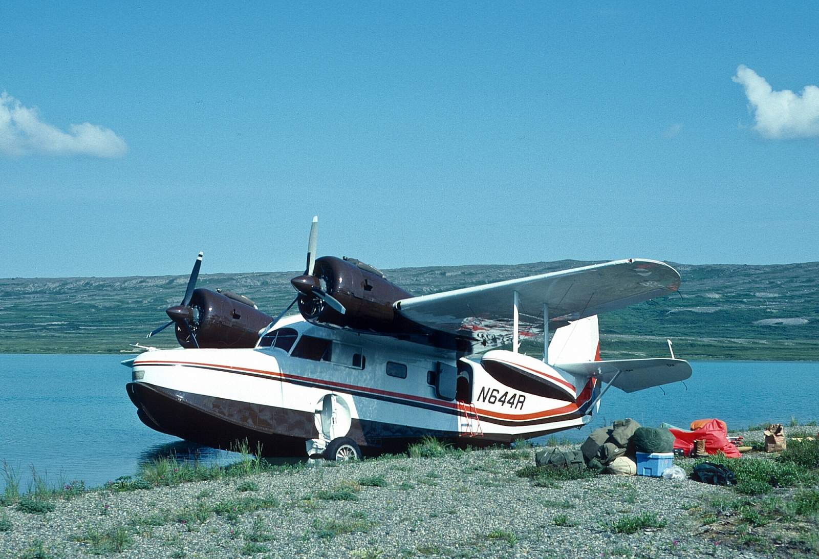
You could fly in to the river near Dummy Creek, as well, and have a 140-mile trip without any significant rapids and great fishing. There is a place near Dummy Creek that is suitable for a floatplane to land and makes for an 80-mile trip from Turquoise Lake. Put in/Take out option for Mulchatna River.
60.50000000, -155.55333000
New Stuyahok
The river is big and mostly a single channel as it runs past some old village ruins on the right side of the river and a few miles further is the village of New Stuyahok which sits on the right side of the river at GPS N 59.45 degrees by W 157.32 degrees. The airstrip is a half-mile from the river and just downstream of the town site. Take out option for Nushagak River.
59.45000000, -157.32000000
New Stuyahok
The long trip is to go all the way to New Stuyahok on the Nushagak River where there are regularly scheduled commercial flights available. Take out option for Mulchatna River.
59.45170700, -157.30785400
Bonanza Mine Trail
This hike takes you up the historical wagon road to the top of the mountain, where you'll find the ruins of mine buildings. Start by hiking along the Root Glacier Trail until a NPS junction sign points you right up the mountain. You'll ascend about 2,000 feet (1.5–2 hours) before rising above the tree line; even if you go no further, the view is worth the effort. However, you can also continue up another 2,000–3,000 feet to the top, where the mine ruins are tucked in the back of the alpine valley. (It takes a reasonably fit person at least 3.5 hours to get here.) This is where the richest copper strike in world history was made—and it was easy to find, as it was sticking right out of the ground. You'll also see tram towers and other piles of historical artifacts. From here there's also access to a grand alpine ridge that provides sweeping views of the local glaciers and ice-covered mountains. Keep your eyes open for the large population of black bears, especially when eating. There is drinking water, but not until you've been hiking for several hours—so start hydrated and with a full water bottle. Figure the full hike will take 6–8 hours. Explore mine building ruins
61.51344452, -142.83359530