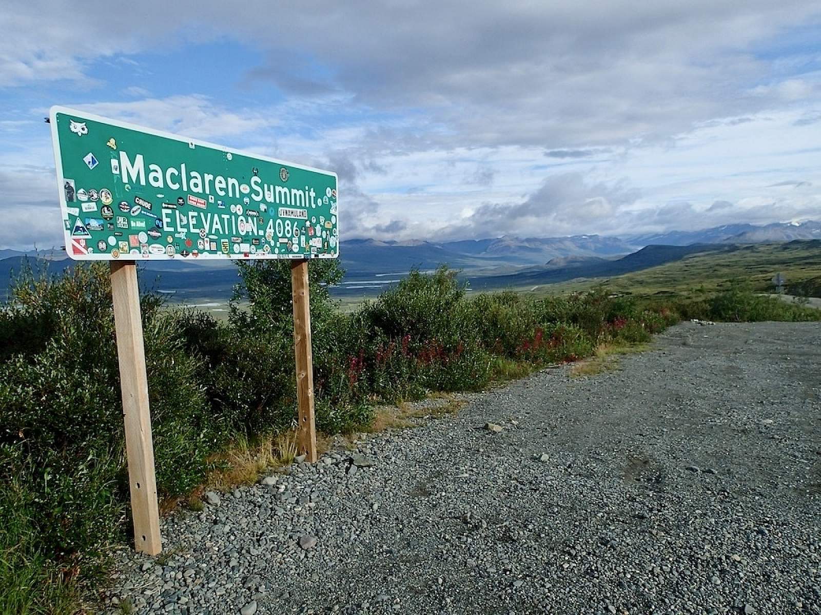
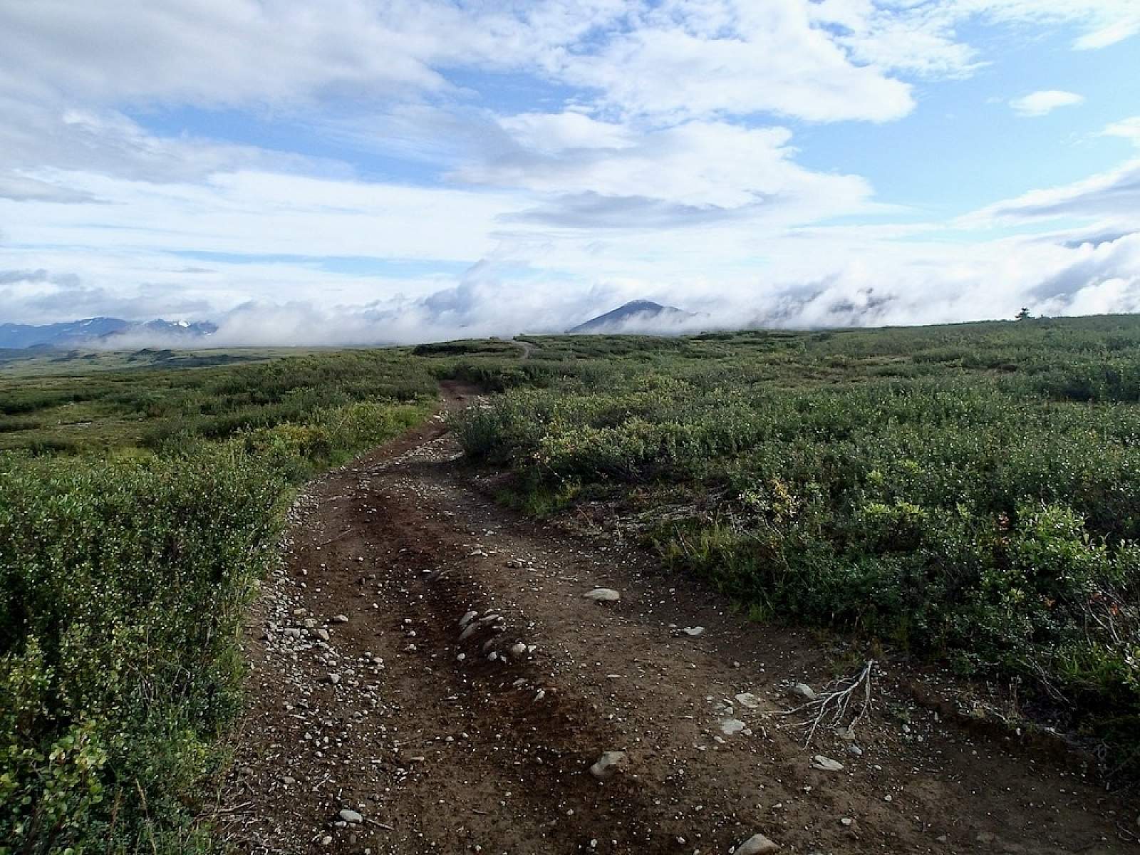
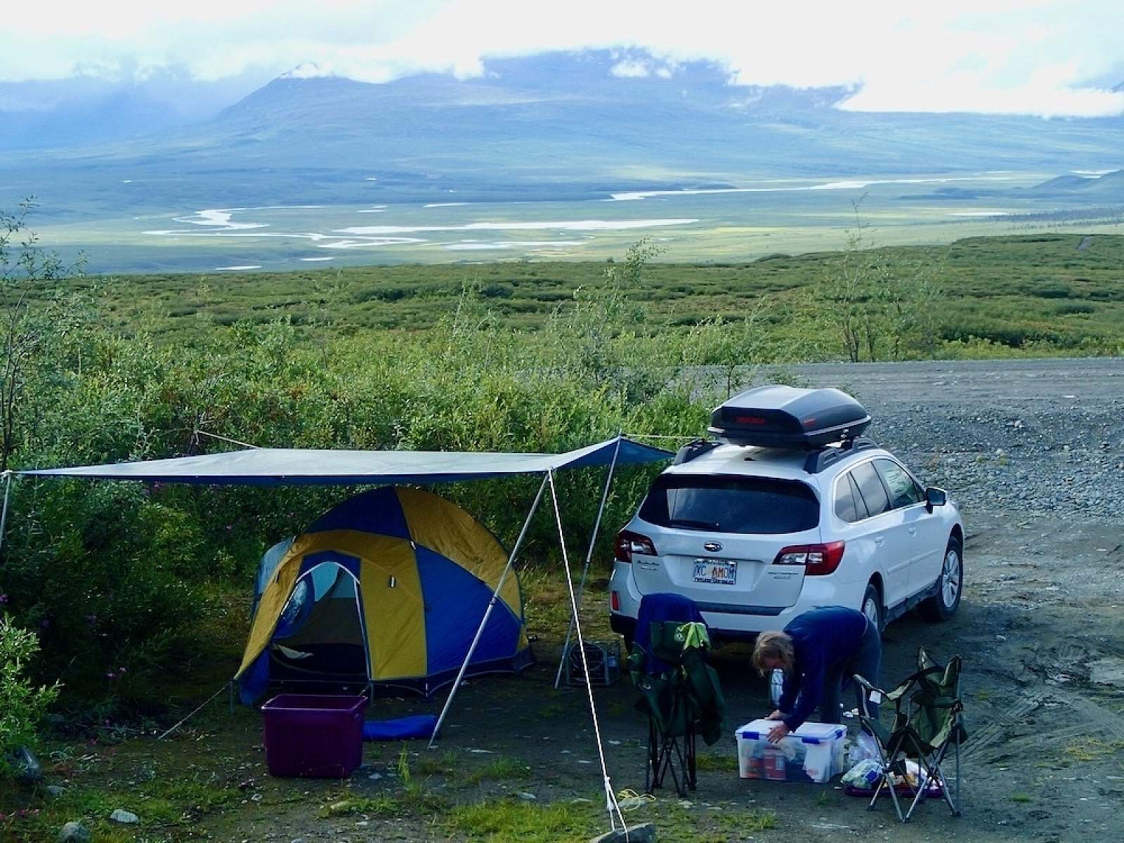
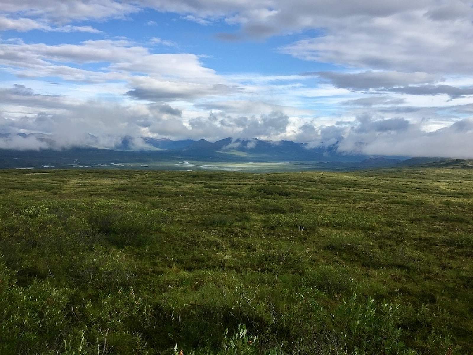
It’s like you crested a summit that never ends. As though you have found the ridgeline of the world’s roof. With the Maclaren River valley at your feet, and brushy tundra to your side, you meander into a realm that’s at once impossibly remote and macro intimate. Drop to your knees—the low tundra appears like a three-inch-tall jungle, thick with moss, dwarf birch and willow, lichen and berries. Stand up, and the view leaps 10 miles to an Alaska Range either crystal sharp or shrouded in clouds.
This 9.5 mile trail continues almost flat to the west end of Seventeen mile Lake, a water body tucked into the foothills. Because this trail is in the Department of Fish and Game's Controlled Use Area, you must stay on the trails provided and not continue on where the trail ends. It is kid friendly, suitable for biking and running.