Why Float This River
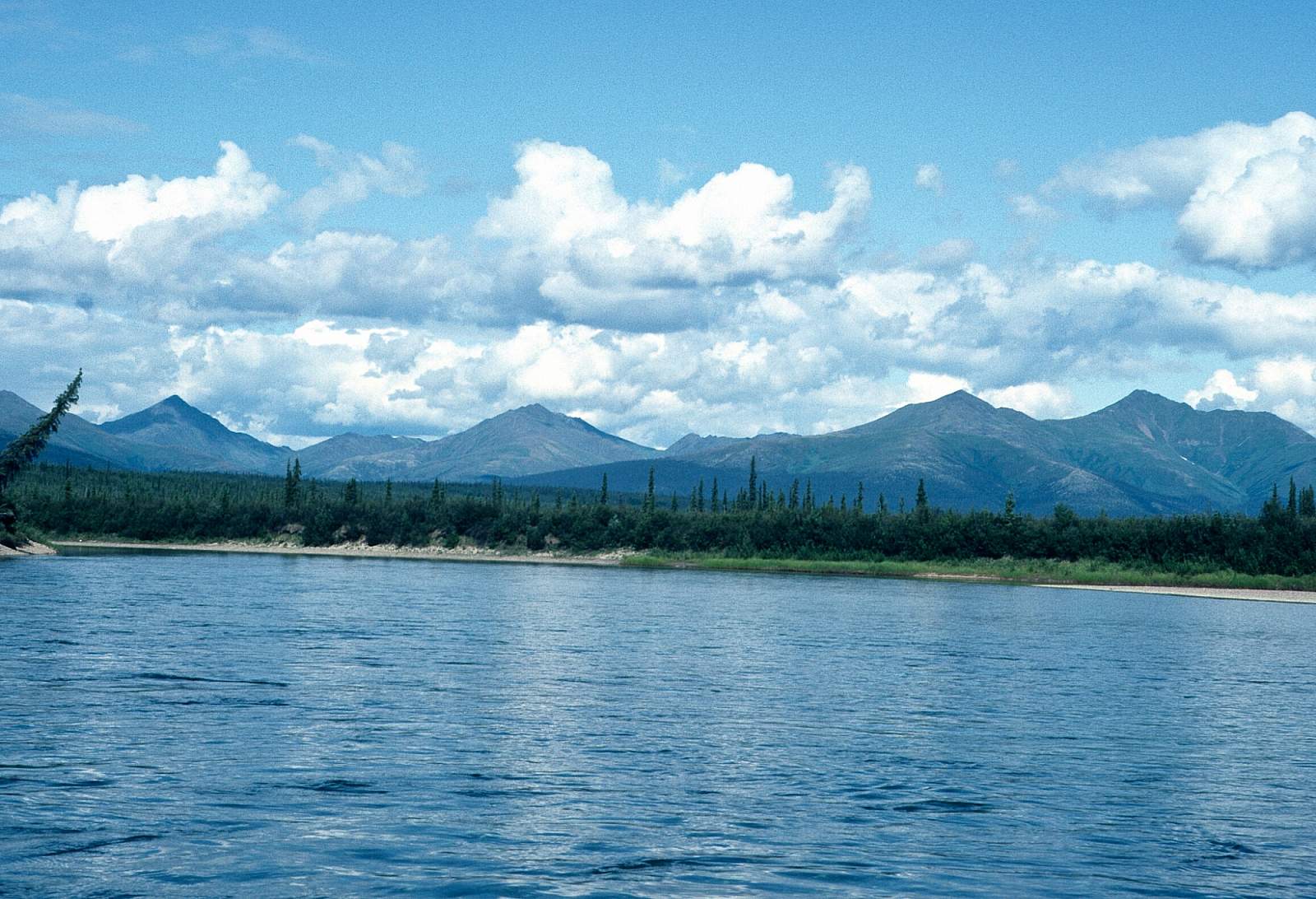
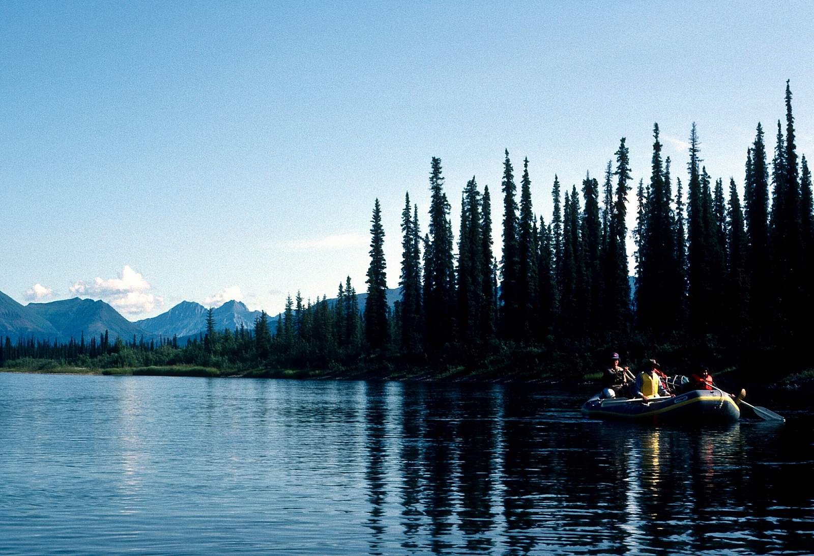
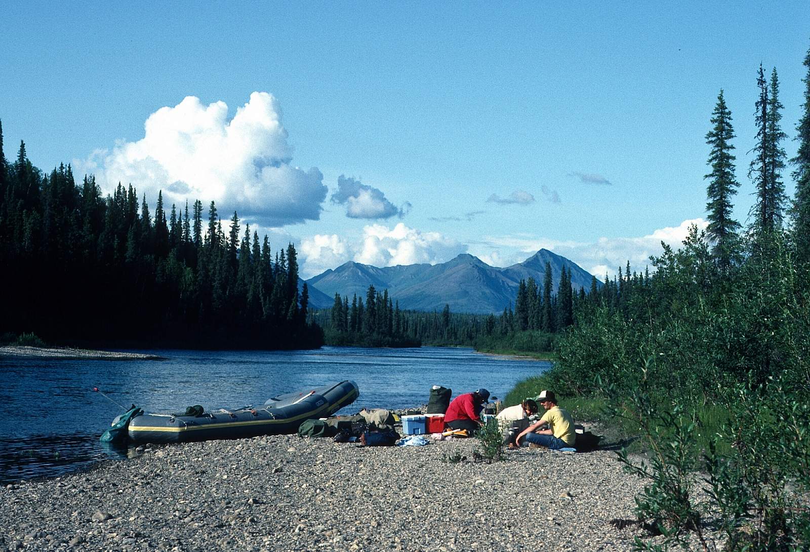
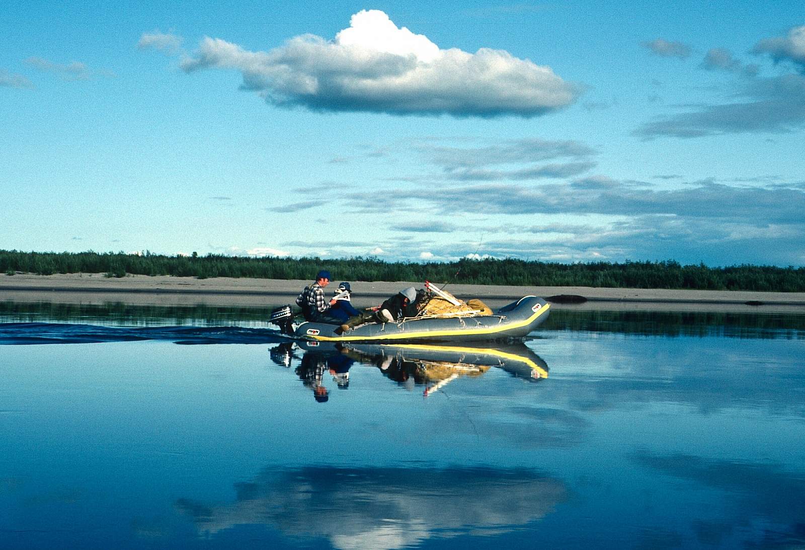
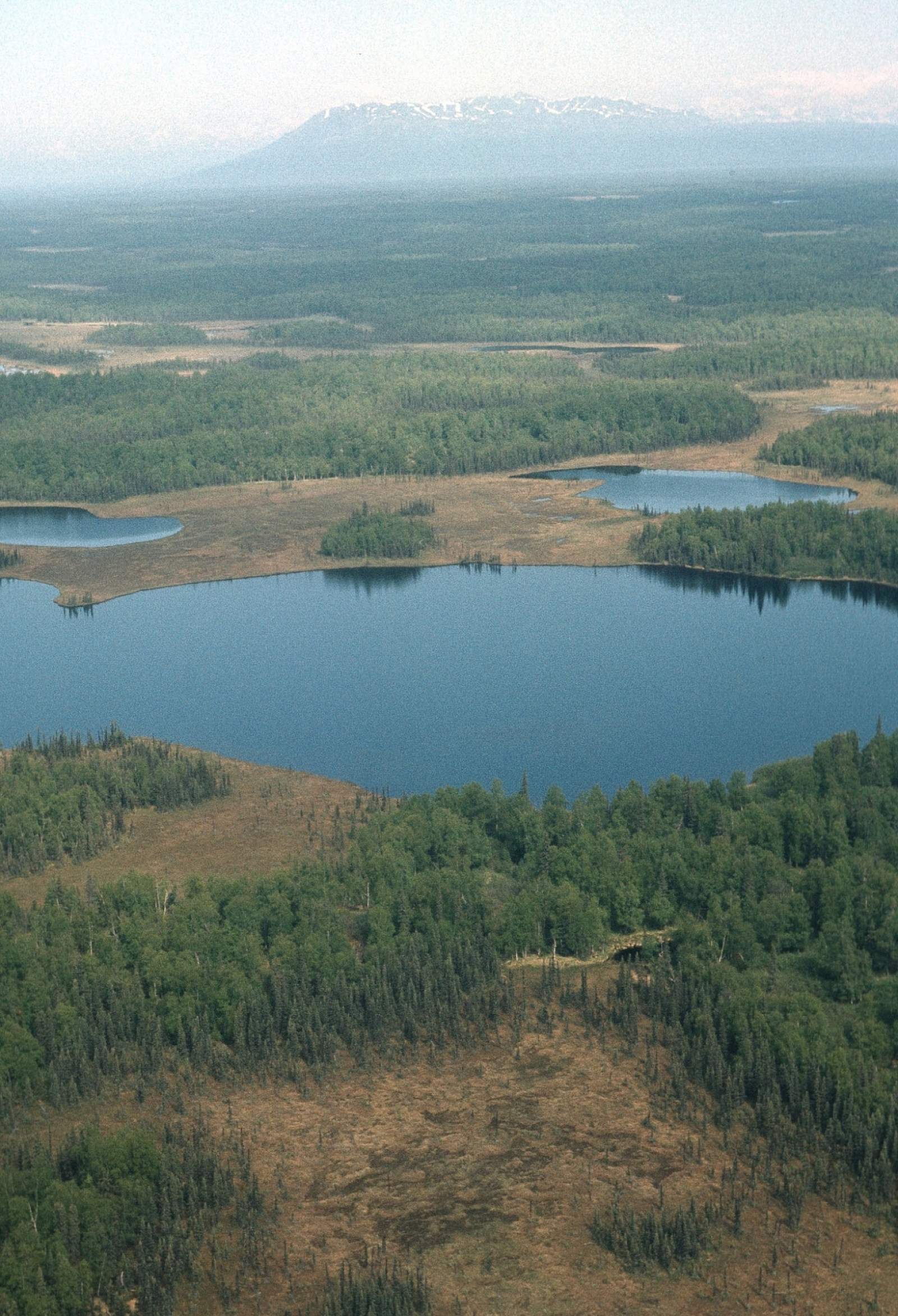
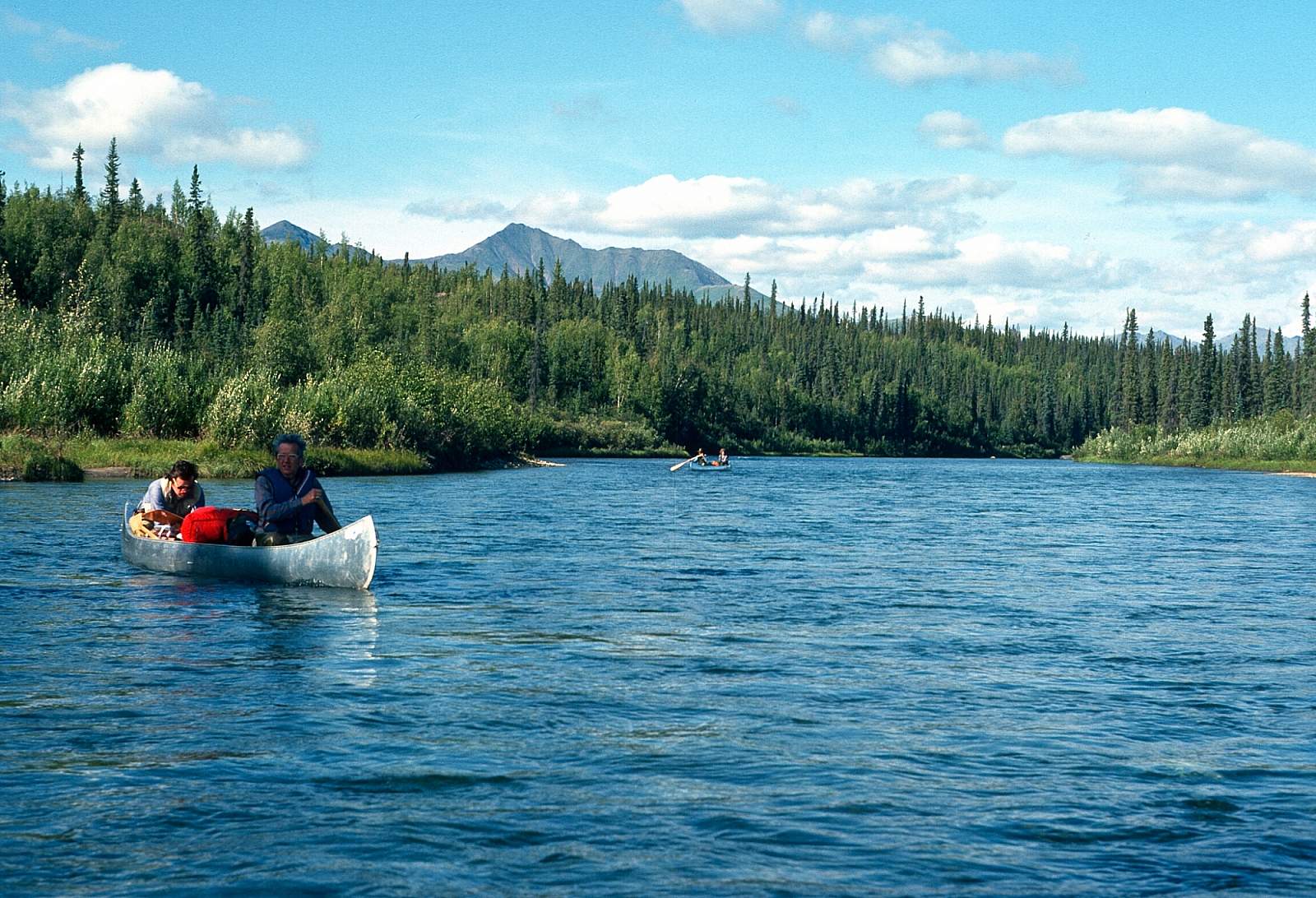
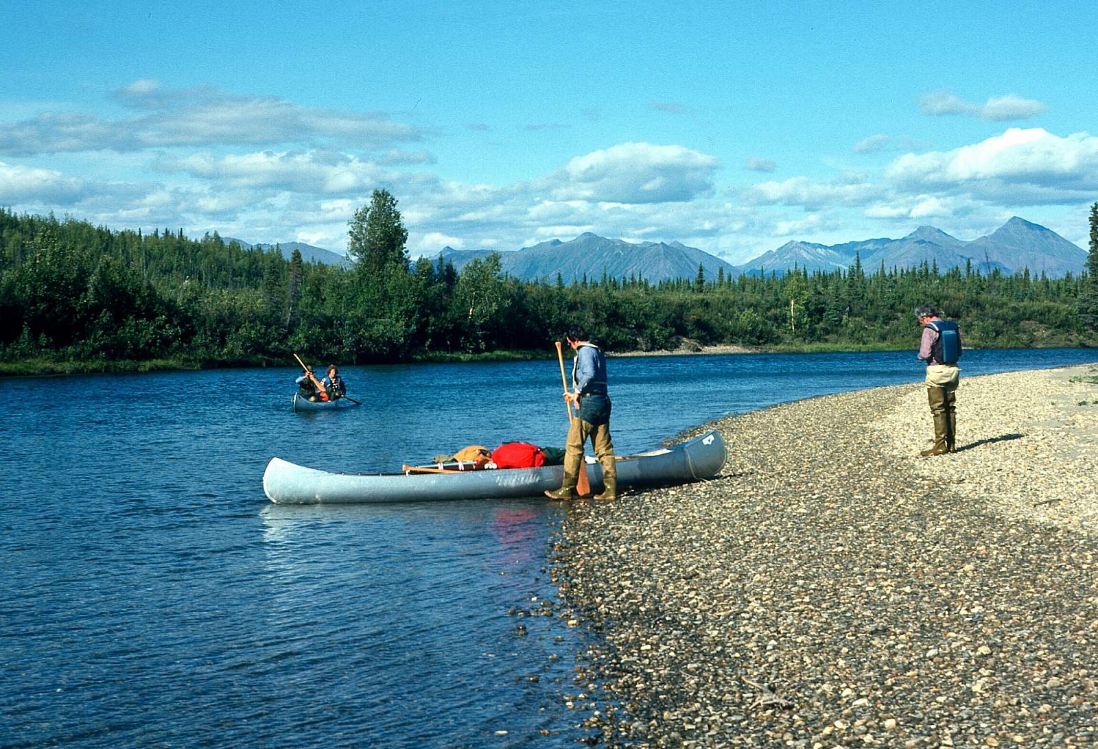
The upper Kobuk River traverses a wide, forest-covered valley with sweeping views from the river of nearby mountains. From its start at Walker Lake the river is in the Gates of the Arctic National Preserve and it has several Class IV challenges as well as miles of Class I river. A wilderness environment exists downstream to approximately the Pah River area. Further downriver, the Kobuk is a major travel corridor for local inhabitants and villages. Fish camps and hunting parties are commonly seen. There is a rich archeological history as this river has been a corridor of travel and residence for many thousands of years. In particular the Onion Portage site is rich with artifacts 12,000 years old. From Walker Lake put in to Kobuk village is about 115 miles and takes 5 to 8 days. To go all the way to Noorvik is a 16 to 20 day journey of 285 miles. It is a trip best suited for kayaks and rafts.
Put In
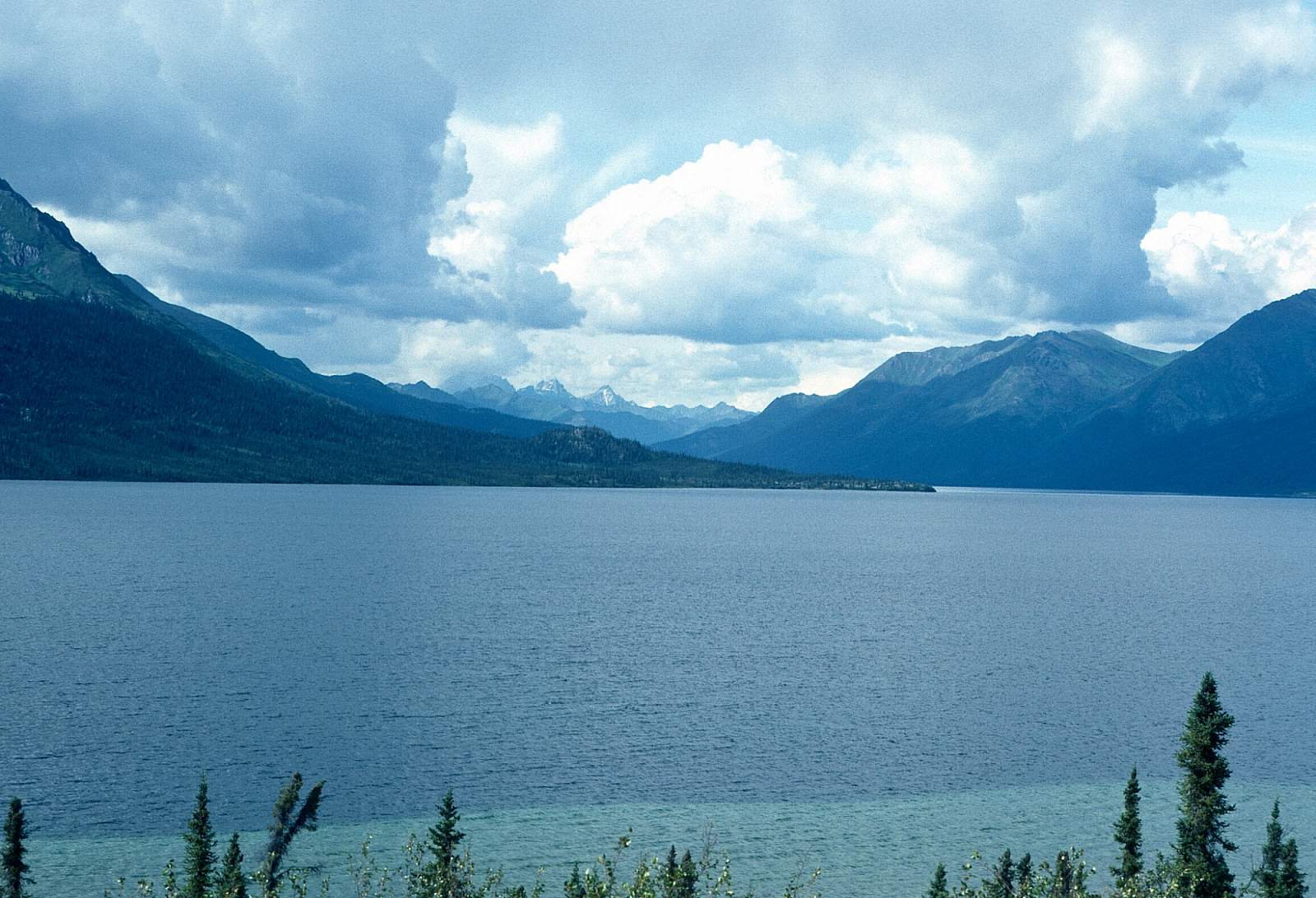
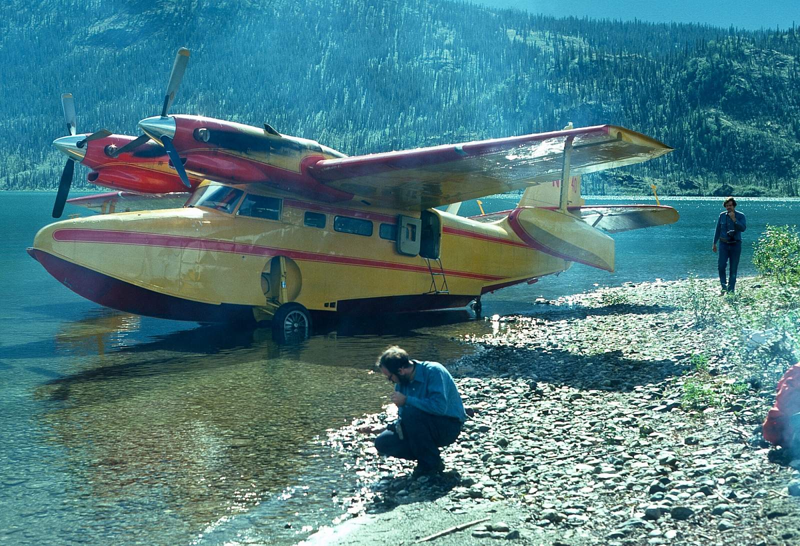
This region is best reached from Bettles or Coldfoot, even though there may be an outfitter in Kotzebue that can fly you in to your stating point. To get to Bettles you can fly from Fairbanks and from there fly directly to the upper Kobuk at any of several lakes in the region. Coldfoot is located on the Dalton Highway and can be driven to from Fairbanks. Walker Lakes has been the most common starting point but a floatplane could land you anywhere on the river. For a pleasant float have your plane land somewhere below the Lower Kobuk Canyon.
Take Out
Take out is often at the village of Kobuk after a 125-mile float. There are many other villages downriver, including Ambler, that could be your stopping point and if you went all the way to the coast you should consider stopping at Kiana or Noorvik.
The Trip
Walker Lake to Below Lower Kobuk Canyon: 30 miles
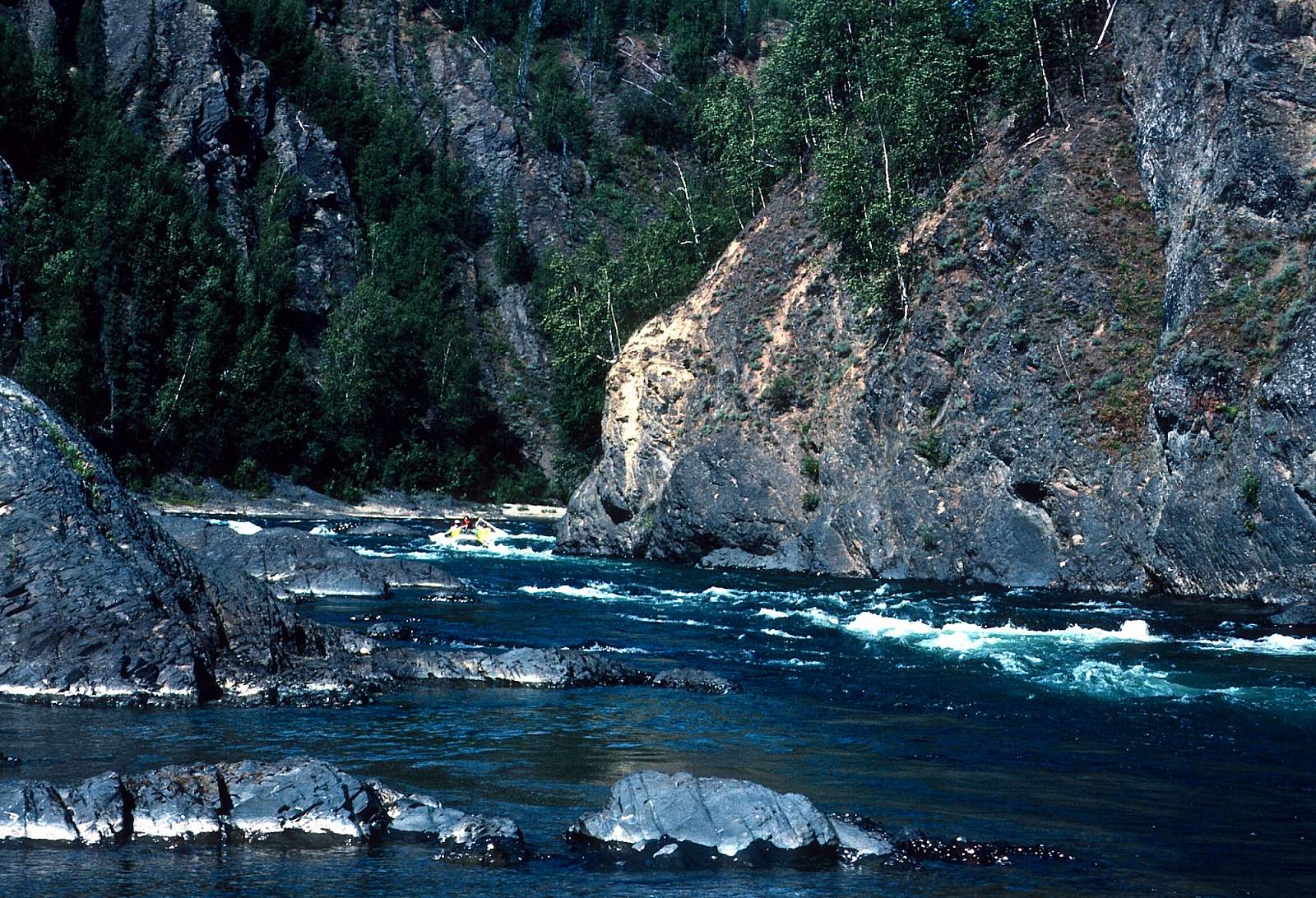
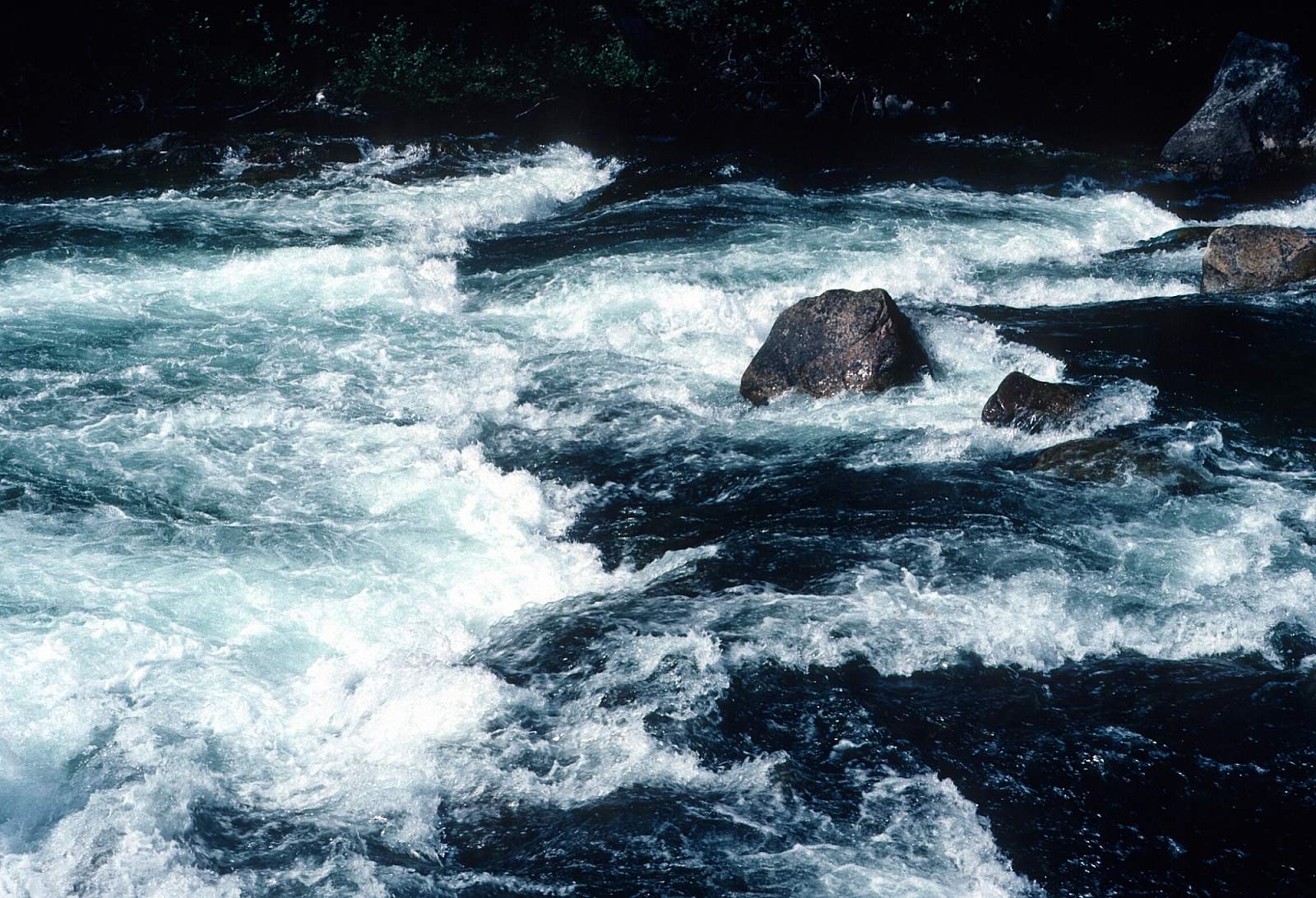
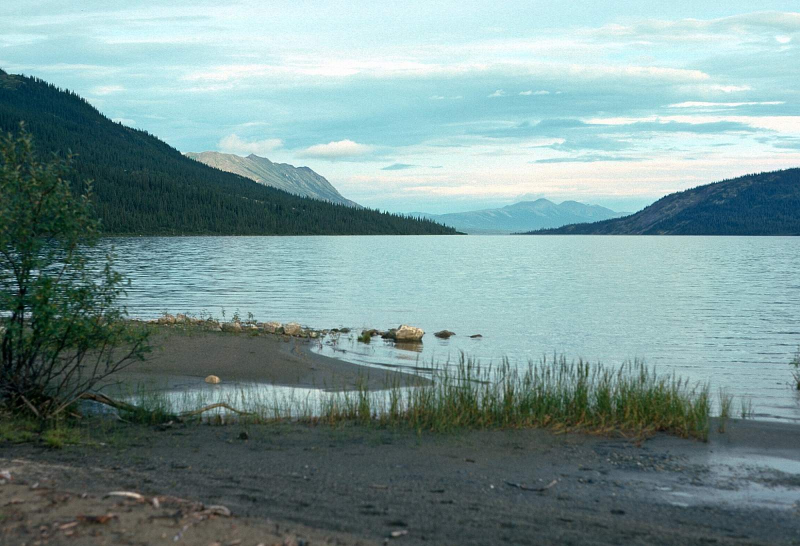
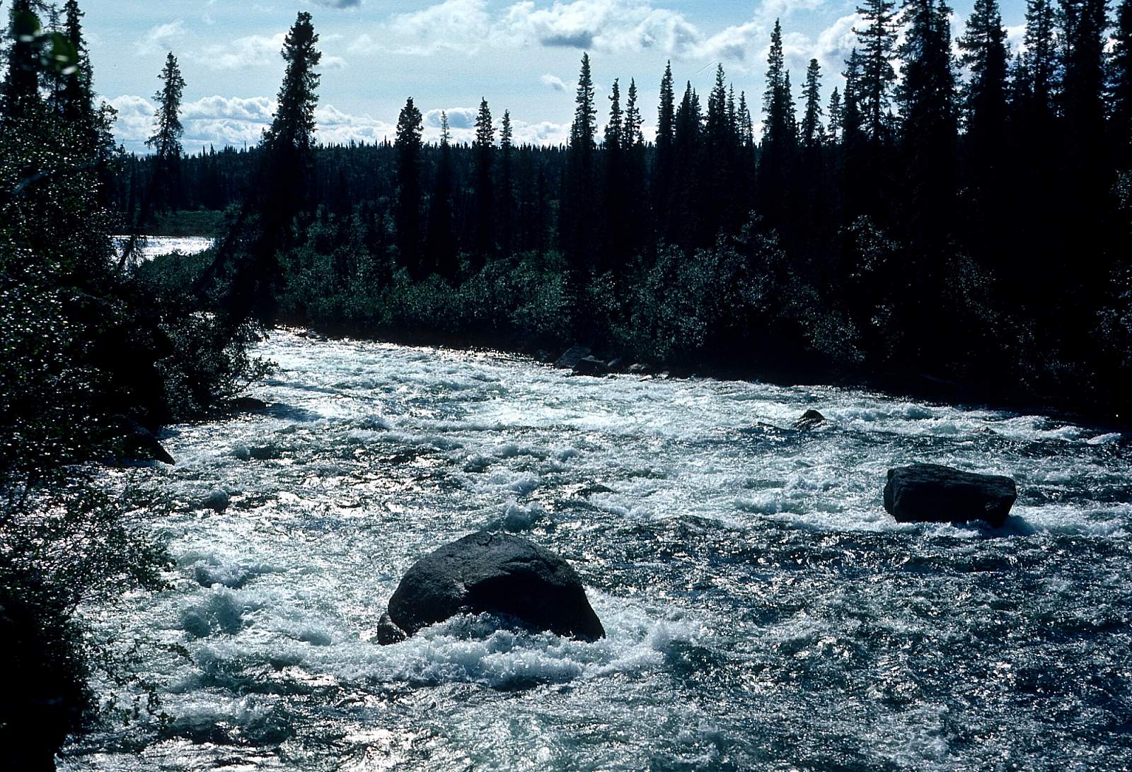
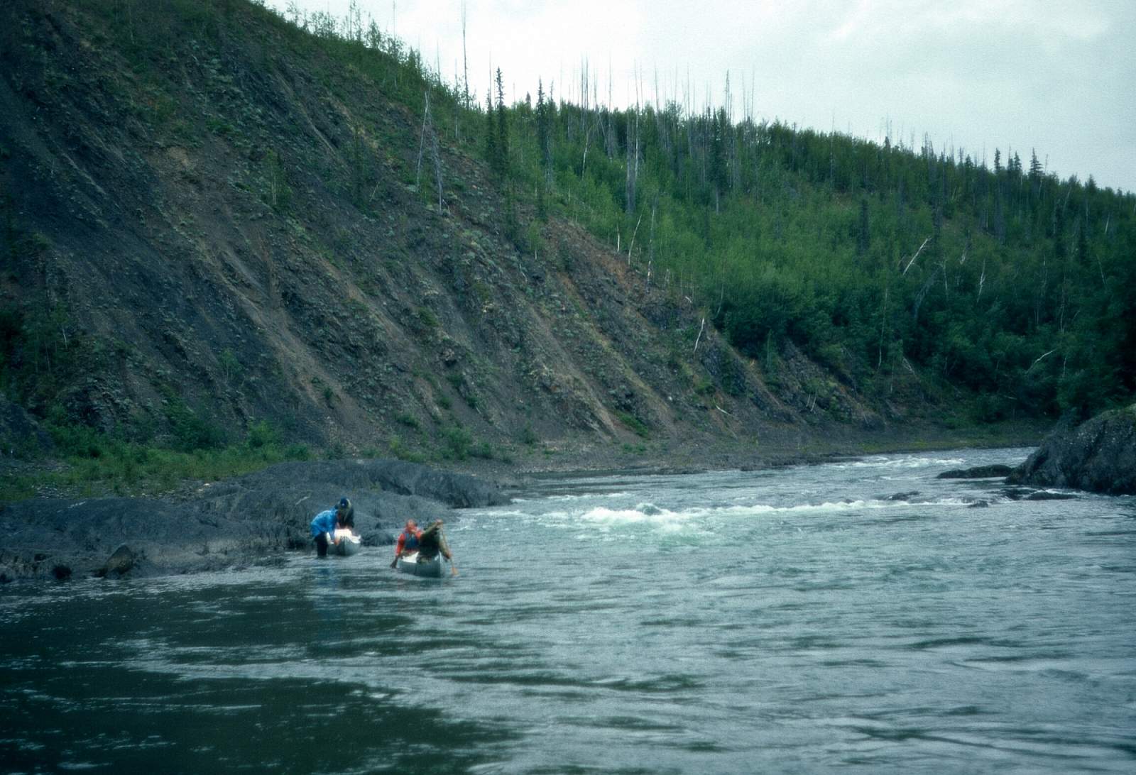
This is the most scenic of the starting points and Walker Lake has been a common starting point for many groups but there is a mean Class IV rapid only 3/4 of a mile from where the river empties out of the lake. Most groups will portage along the left shore. Rafts 12 feet or longer can navigate this bit however. After a few miles this tributary meets the Kobuk River where it flows through steep canyons and fans out into a broad channel flowing through a forested landscape. There is an upper and lower Kobuk Canyon, each with Class III to IV rapids to be aware of. The Upper Kobuk Canyon is 10 miles below Walker Lake and is marked by a steep river left canyon wall and huge mid river boulder above the entrance. Scout the rapids from river right and decide if you will run or line boats. The last section of rapids is a very difficult lining operation. It is 18 miles of lovely river to the Lower Kobuk Canyon where the river is again confined by sheer walls. There are 3 sections of rapids in here up to Class IV. The first is 150 yards and has a narrow entrance chute and rock outcrops to avoid. After a quarater mile the second set of rapids is encountered and has two chutes with big drops. Another third of a mile brings you to the third section where there are two channels divided by rock bands. Either channel has a series of small drops that vary according to water level.
Below Lower Kobuk Canyon to Kobuk Village: 85 miles
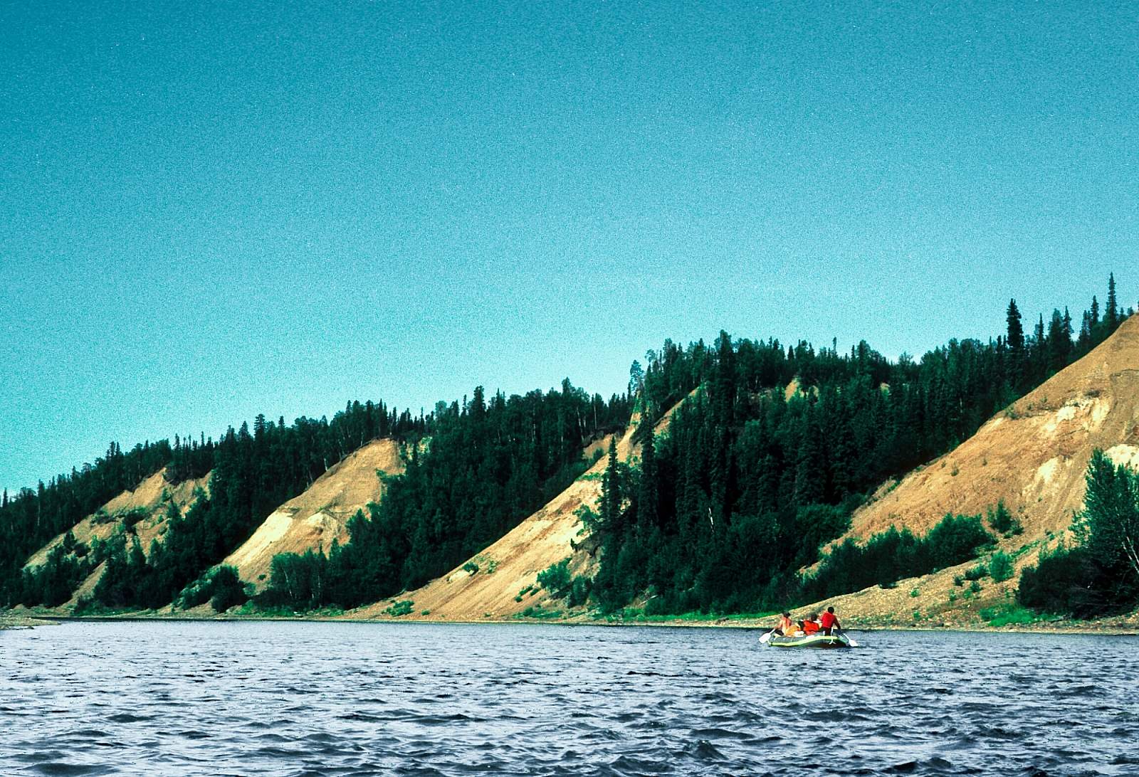
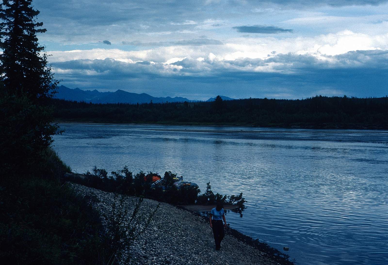
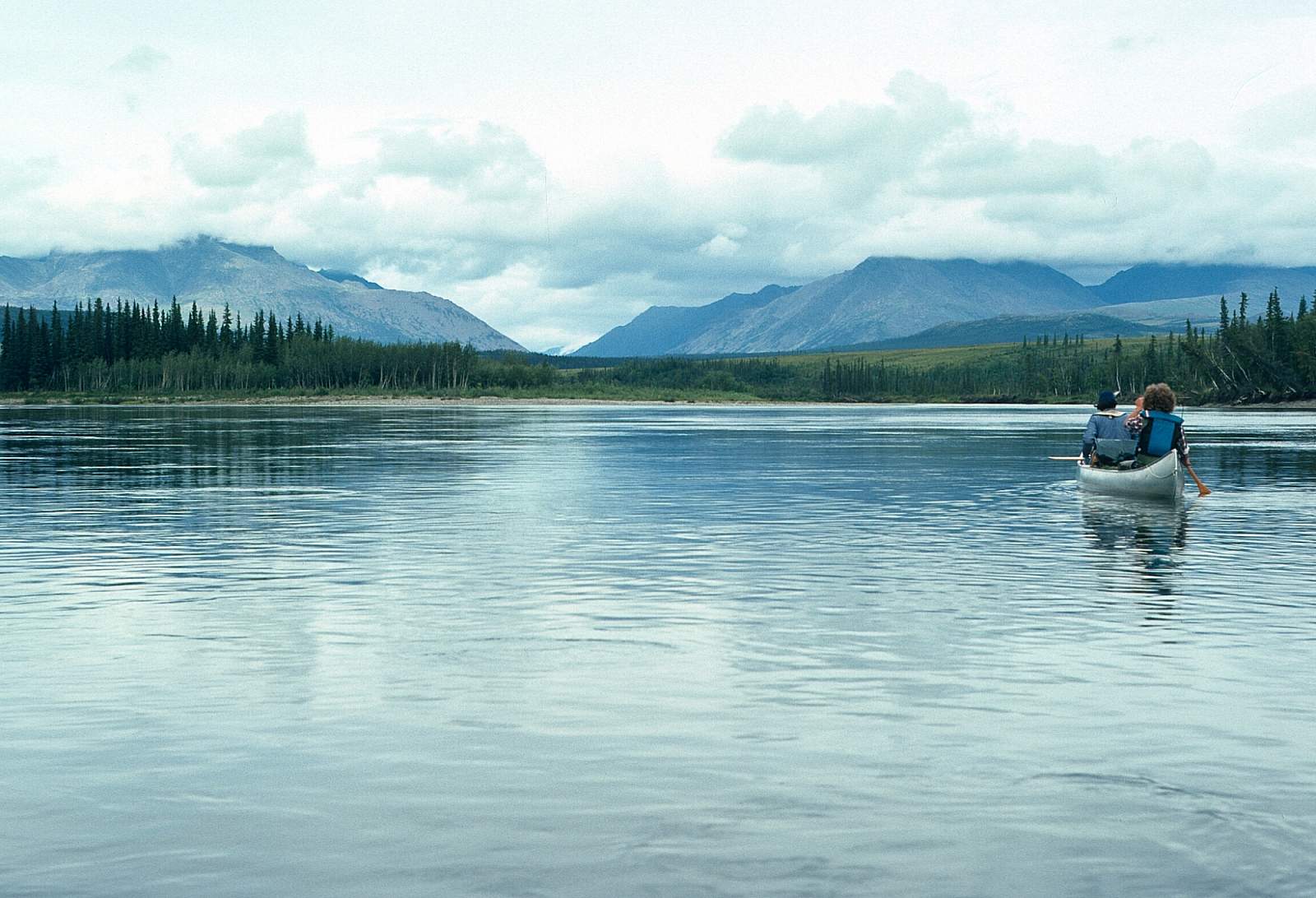
Below the Canyons the river is a mellow Class I float trip with great vistas of the surrounding mountains. The Mauneluk River enters on river right and below this the river begins meandering oxbows and the current slows to 2 mph. Kobuk Village is on river right and is easily seen as you approach.
Kobuk Village to Kiana or Noorvik: 145 to 170 miles
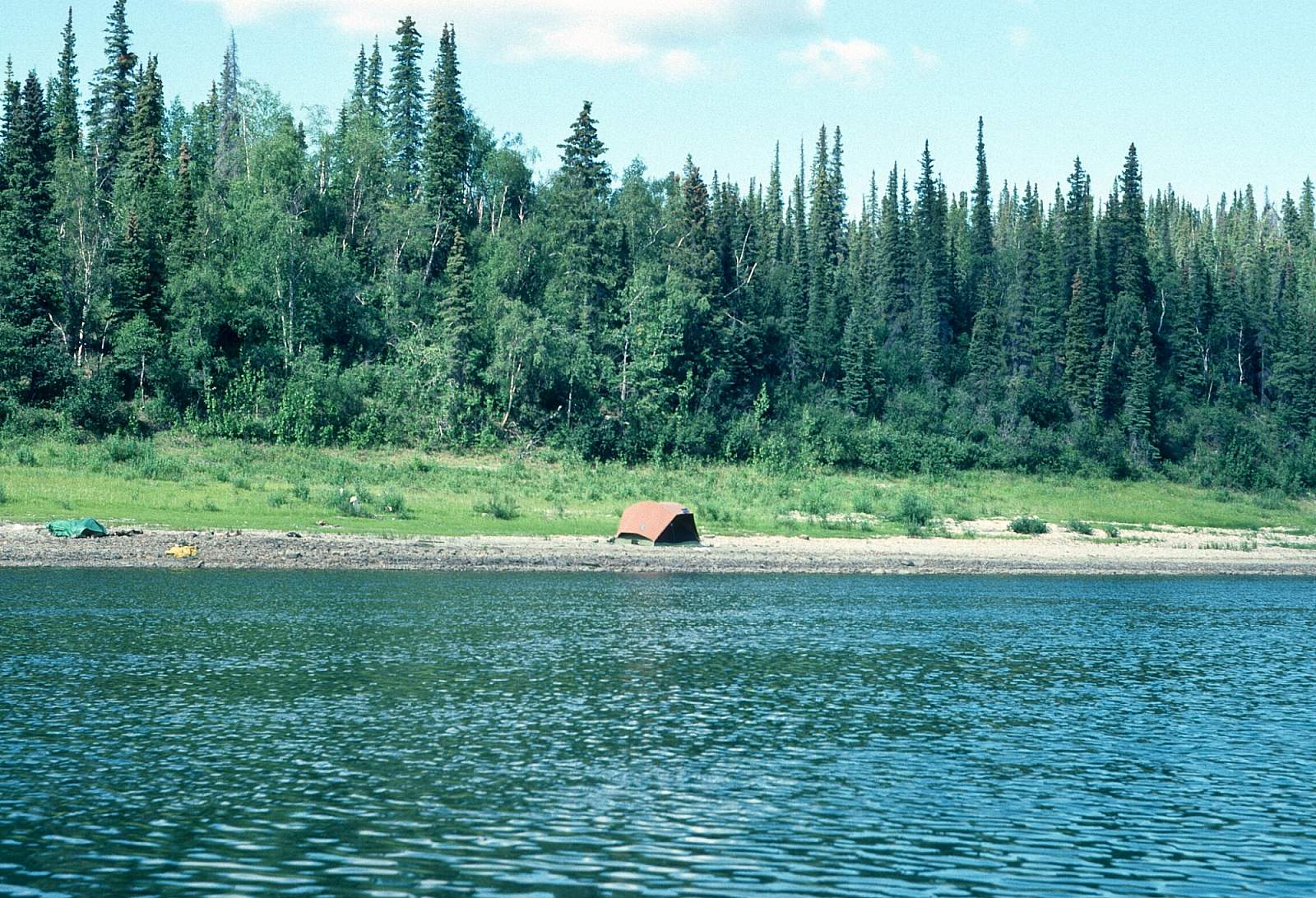
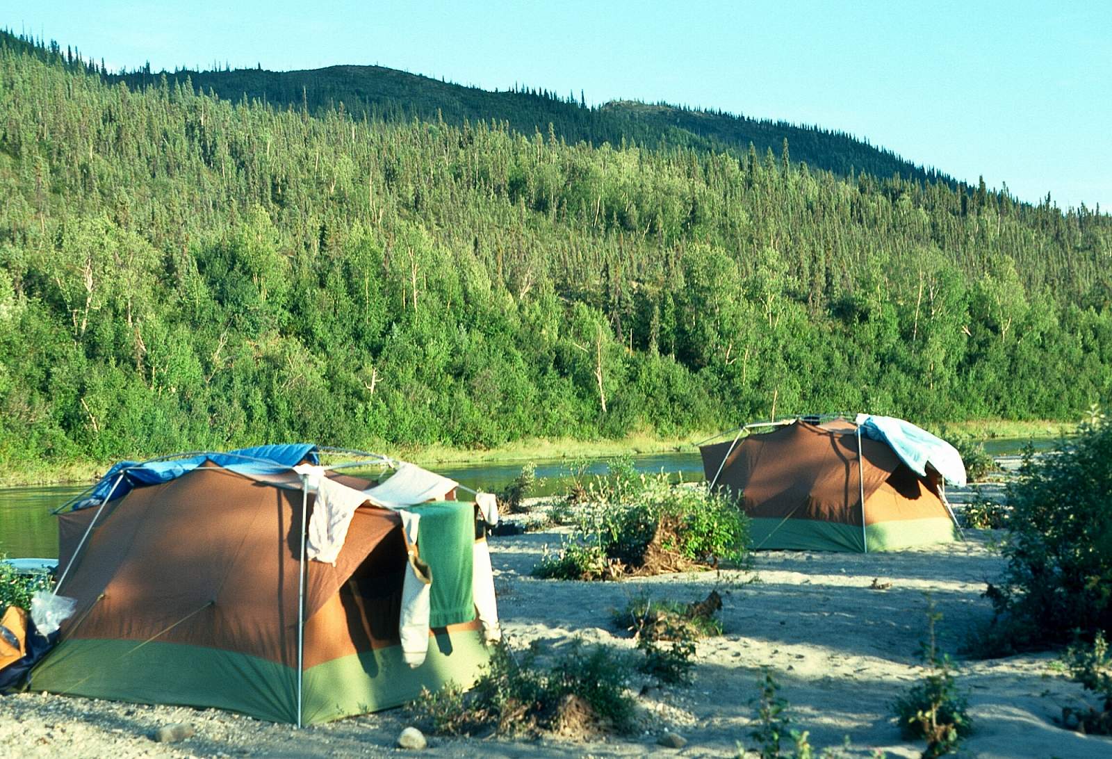
From Kobuk downriver you enter the world of the local villagers. There are four major villages along the way and all of them will have lots of boat traffic up and down the river and the brushy banks make it hard to find the perfect campsite. Most good campsite area will have somebody's fish camp there. But with 2 to 3 mph current you can reach Noorvik in as few as 10 days and Kiana in 8.
Other Advice
- There are plenty of bear in the woods around this area, but the fact that they are hunted makes them more wary than most. Portions of the river see the migration of the western Arctic Caribou Herd as well
- The river is famous for it's sportfishing reputation with giant Sheefish the object of many fisherman.
- There are as many as 25 species of fish found in this waterway.
GPS Coordinates
- Walker Lake: 67.0733333, -154.31166666666667
- Kobuk Village: 66.9033333, -156.89
- Ambler: 67.1016667, 157.87333333333333
- Kiana: 66.975, 160.43333333333334
- Noorvik: 66.8266667, -161.045
Kobuk River GPS Coordinates
Noorvik
From here you can catch a commercial flight back to Kotzebue or perhaps on to Fairbanks, depending on the airlines schedules. Take out option for Squirrel River.
66.83840600, -161.03332000
Noorvik
A flight to Kotzebue is easily arranged from here. Take out option for Salmon River.
66.83864300, -161.03280500
Lower Kobuk Canyon
This region is best reached from Bettles or Coldfoot, even though there may be an outfitter in Kotzebue that can fly you in to your starting point. To get to Bettles you can fly from Fairbanks and from there fly directly to the upper Kobuk at any of several lakes in the region. Coldfoot is located on the Dalton Highway and can be driven to from Fairbanks. Walker Lakes has been the most common starting point but a floatplane could land you anywhere on the river. For a pleasant float have your plane land somewhere below the Lower Kobuk Canyon. Put in option for Kobuk River.
66.81912200, -154.67824500
Walker Lakes
This region is best reached from Bettles or Coldfoot, even though there may be an outfitter in Kotzebue that can fly you in to your starting point. To get to Bettles you can fly from Fairbanks and from there fly directly to the upper Kobuk at any of several lakes in the region. Coldfoot is located on the Dalton Highway and can be driven to from Fairbanks. Walker Lakes has been the most common starting point but a floatplane could land you anywhere on the river. Put in option for Kobuk River.
67.06777800, -154.30194400
Noorvik
From here you can catch a commercial flight back to Kotzebue or perhaps on to Fairbanks, depending on the airlines schedules. Take out option for Squirrel River.
66.83840600, -161.03332000
Village of Kobuk
From here, charter a flight back to Fairbanks. Take out option for Kobuk River.
66.90665700, -156.88528400
Village of Ambler
From here, charter a flight back to Fairbanks. Take out option for Kobuk River.
67.08620500, -157.85144100
USGS Maps
Survey Pass A-3
Hughes C-5, D-3, D-4, D-5, D-6
Shungnak D-1, D-2, D-3, D-4
Selawik D-3, D-3, D-5, D-6
Ambler River A-4, A-5, A-6, D-1, D-2, D-3, D-4
Baird Mountains A-1, A-2
Distance
115-285 miles
Days
5-20
Difficulty
Difficult
Class
I, II, III, IV
Craft
Canoe
Kayak
Raft
Cost
$$$