Thousands of pink salmon converge on Indian Creek each July and August, just about filling this shallow, easy-flowing stream south of Anchorage along Turnagain Arm from bank to bank.
This amazing natural spectacle occurs in one of the easiest places to view spawning salmon in the region: No steep banks, crystal clear water and fish so close they could almost be touched. And it’s located only a few hundred feet from the Indian Creek rest area with parking, outhouses and a popular bike trailhead.
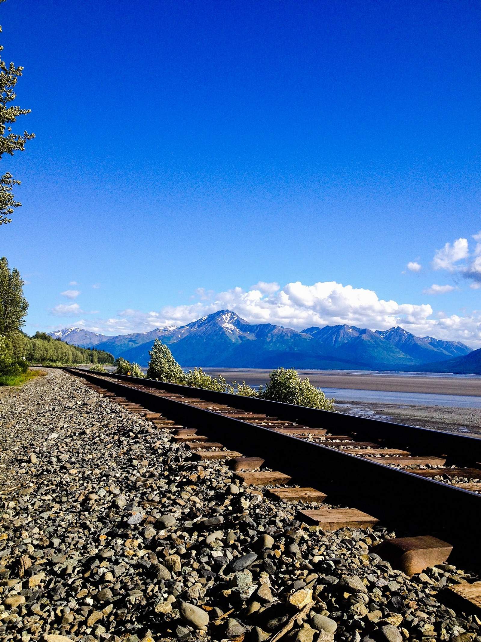
Turnagain Arm bounty
Once the run begins (usually about mid-July), the fish tend to arrive en masse with each rising tide. They swim up the channel beneath the Alaska Railroad bridge and follow the creek as it winds through a dim, cool birch forest crisscrossed with angler’s paths.
By early August, there will be hundreds of fish stacked up in shallow channels. Even more fish hold in pools just upstream of the highway bridge. Although traffic is literally overhead, and the community of Indian close by, the scene has a primal, deep-woods vibe, with the rushing of the waters and the whiff of rotting carcasses.
Undulating finners
They wiggle and splash, backs breaking the surface as they pair off, male and female. They dart upstream, double back, chase rivals. Watch the pairs waggle and spawn in the gravels right at your feet. Look for stray pink eggs that have been cast free of the spawning redds and gotten snagged on the streambed.
As the stream approaches the highway bridge, it divides into several forks. If it hasn’t been raining and the water is relatively low, you can usually step out to the middle gravel bar without getting street shoes wet. This spot is well laid out for kids to practice fishing, too, especially drifting artificial flies and roll casting toward fish nosing upstream. (No fishing allowed upstream of the highway.)
A pink primer:
- Runs of pink salmon peak every other year in the Anchorage area, with the largest returns occurring during even-numbered years.
- The fish average 3 to 5 pounds, about 20 inches long. They sport large oval spots on tails, greenish backs and white bellies.
- The males develop a pronounced hump after they reach fresh water to spawn — hence the nickname, humpback salmon or humpies for short.
Other things to do at Indian Creek:
- It’s possible to scramble over boulders beneath the railroad bridge to view the shore of Turnagain Arm. You probably need waders to cross the creek without getting wet.
- Cycle. The Indian Creek rest area is a trailhead for the 13.3-mile paved bike trail to Bird, Bird Point Wayside and Girdwood.
- Play catch or picnic. A community baseball field is adjacent to the parking lot.
Other great spots to view salmon:
- Potter Marsh. A 1,550-foot boardwalk crosses a channel of Rabbit Creek that concentrates chinnok, coho and humpback salmon. Turn off is just south of the Rabbit Creek Road exit of the Seward Highway on the final approach to Turnagain Arm. May through September.
- Williwaw Fish Viewing Platform. Coho, sockeye and chum salmon spawn in Williwaw Creek in Portage Valley, about 50 miles from Anchorage at the head of Turnagain Arm. The platform is at Mile 4 of the Portage Glacier Road, next to the Williwaw Campground. July to September.
- Ingram Creek. Pinks converge on this clear-running stream at the head of Turnagain Arm every August and September. A large pull out with plenty of parking is located about Mile 75 of the Seward Highway right before the road starts climbing into the Kenai Mountains.