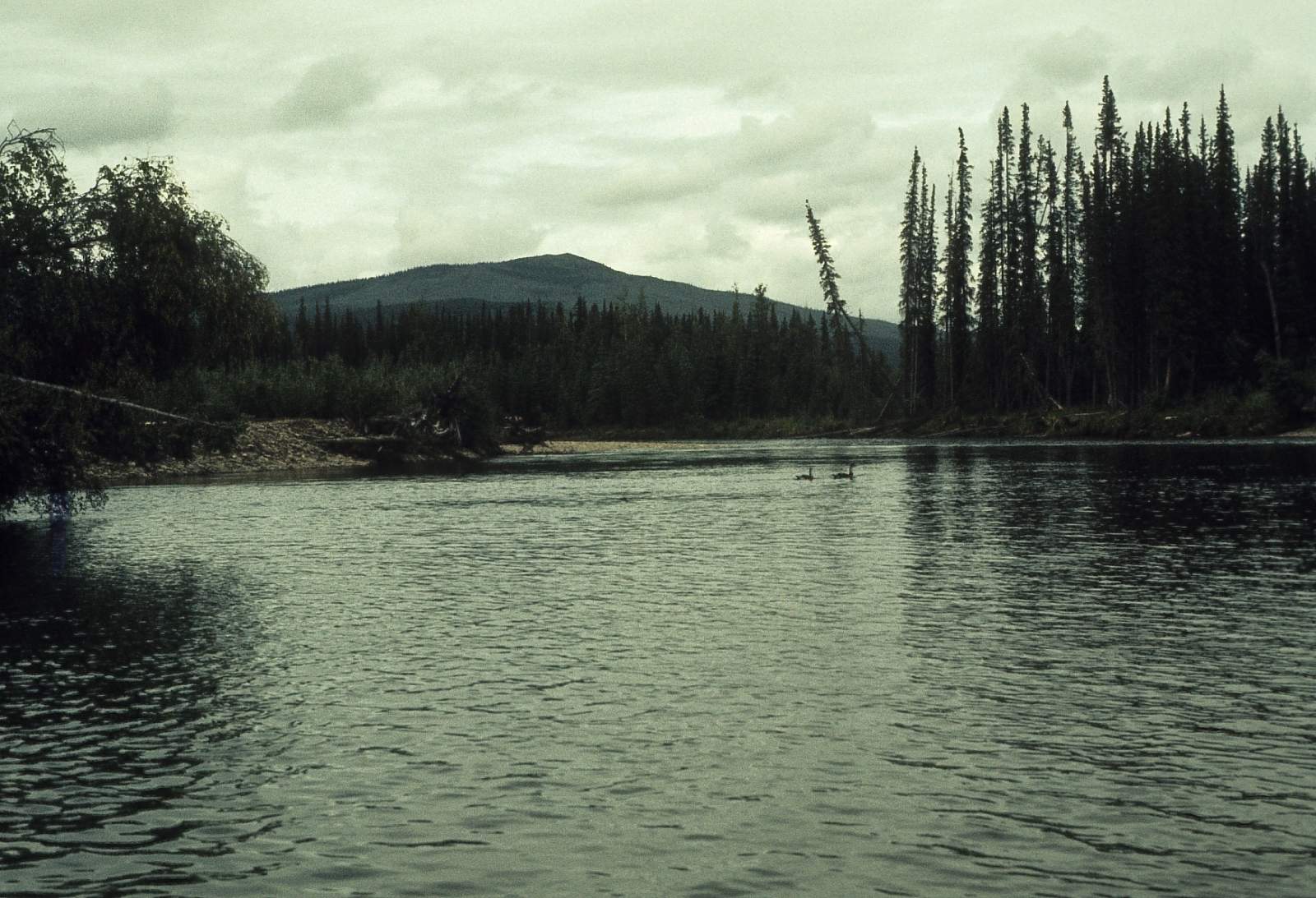
Beaver Creek National Wild and Scenic River has its headwaters in the White Mountains, north of Fairbanks, Alaska. The river flows west past the jagged limestone ridges of the White Mountains before flowing to the north and east, where it enters the Yukon Flats and joins the Yukon River. It is one of the few road accessible streams in Alaska with a Wild and Scenic designation. The first 127 miles of Beaver Creek were designated a National Wild and Scenic River by the Alaska National Interest Lands Conservation Act in 1980. The last 16 miles of designated Wild and Scenic River lie within the Yukon Flats National Wildlife Refuge. Beaver Creek has long been a popular destination for river adventurers as the river's clear water, modest Class I rapids, and unparalleled scenery make for a relaxing trip. Floating Beaver Creek can take from 7 days to 3 weeks to complete. For shorter trips, arrangements can be made with an air taxi for a gravel bar pick-up near Victoria Creek. Others continue for several more weeks onto the Yukon River and take out at the bridge on the Dalton Highway. This 360-mile trip has been called the longest road-to-road float in North America.
Put In
To start your trip, drive the Steese Highway from Fairbanks to mile 57.3 and turn left on U.S. Creek Road for 7 miles to Nome Creek, one of three tributaries that come together to form the larger Beaver Creek. Turn left onto the Nome Creek Road and travel 12 miles, passing the entrance to the Ophir Creek Campground, to the put in boat launch. A small parking area provides a place to organize equipment and prepare for your float trip. A long-term parking area is located just inside the Ophir Creek Campground entrance. A short trail leads to a gravel bar for launching your boat; no boat ramp is provided. There are 3 river miles of floating on Nome Creek before joining Beaver Creek.
Take Out
Take out has a couple of options. The first option is a fly out from a few miles below the confluence with Victoria Creek. There are gravel bars that a chartered plane with wheels can land on, or there are quiet, deep sections of river just below Victoria Creek that a floatplane can land on. This is the 127-mile stretch of Wild and Scenic River and takes 6 to 8 days. By going beyond Victoria Creek you can continue an additional 270 miles, 90 of those miles on the mighty Yukon River to where the Dalton Highway Bridge crosses the river. 8 to 14 days can be needed to finish this stretch.
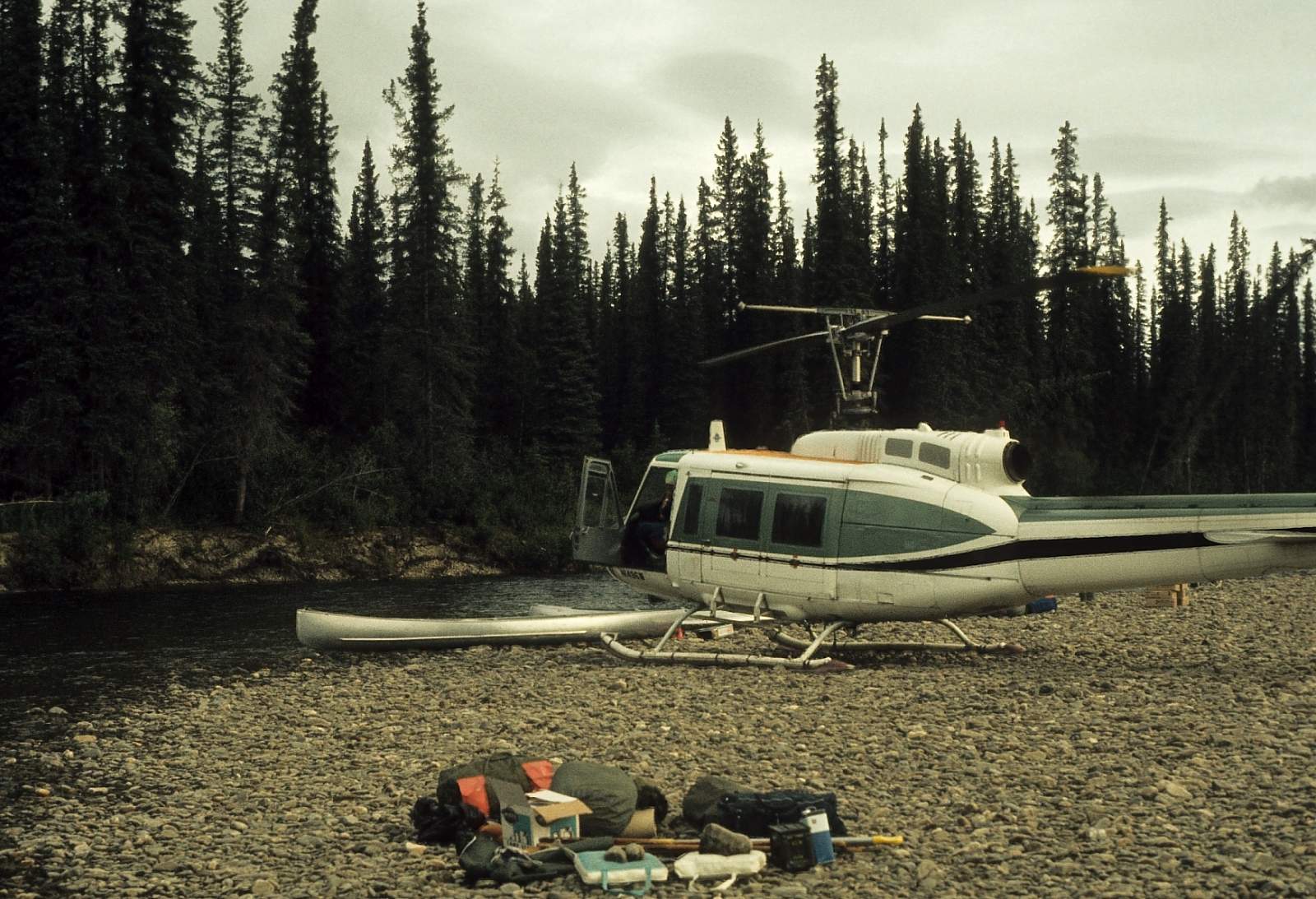
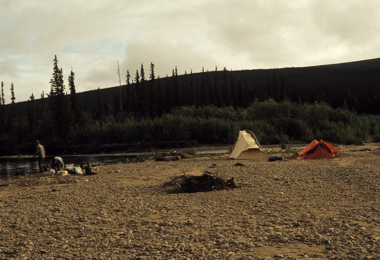
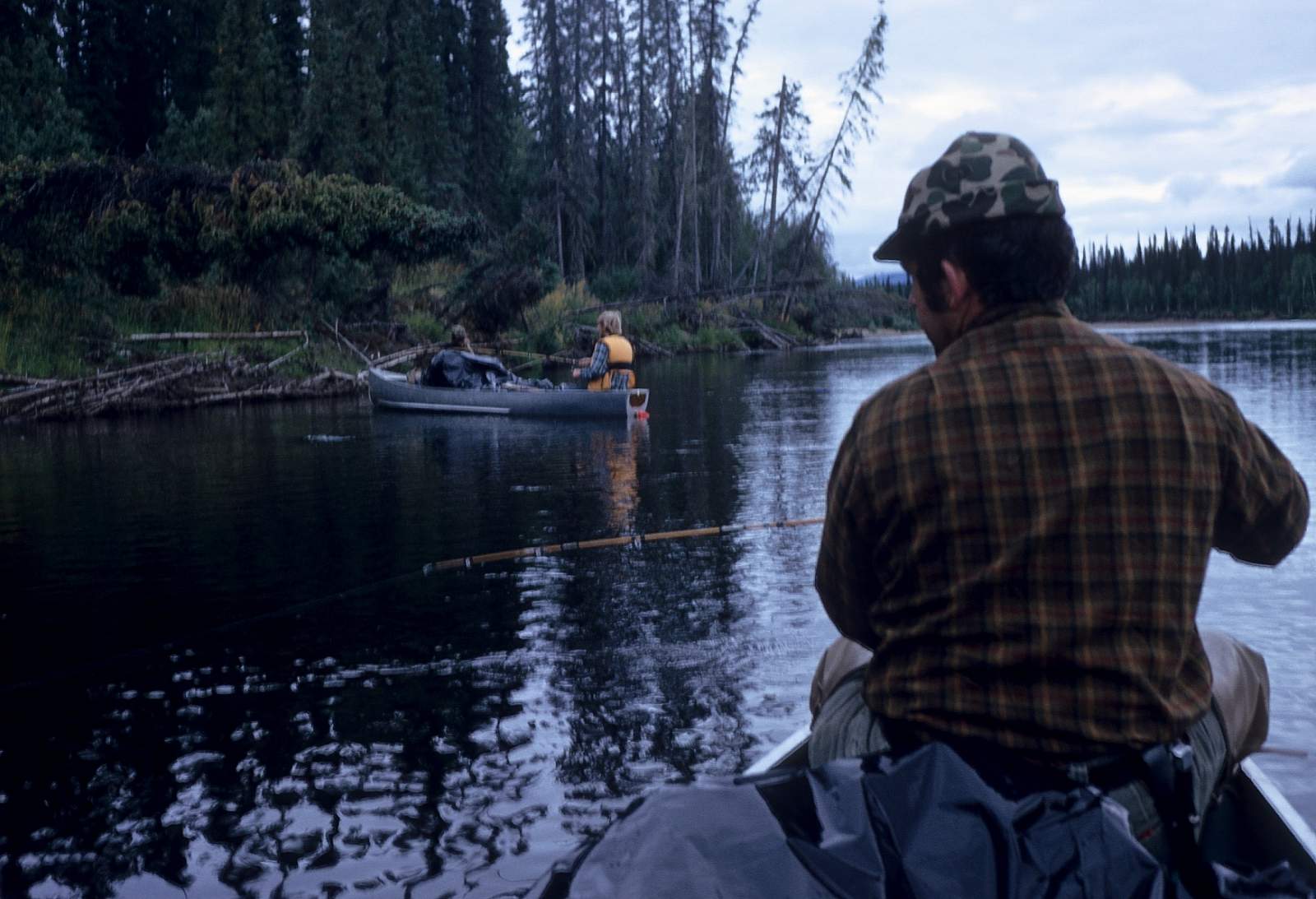
An air taxi lands at Victoria Creek. There are several air taxi operators in Fairbanks that will make gravel bar landings to pick up floaters. Prior arrangements must be made for pickup dates and locations. Bad weather can cause delays so be prepared to spend an extra night or two. Using an inflatable raft or folding canoe is suggested if getting picked up by small plane.
The Trip
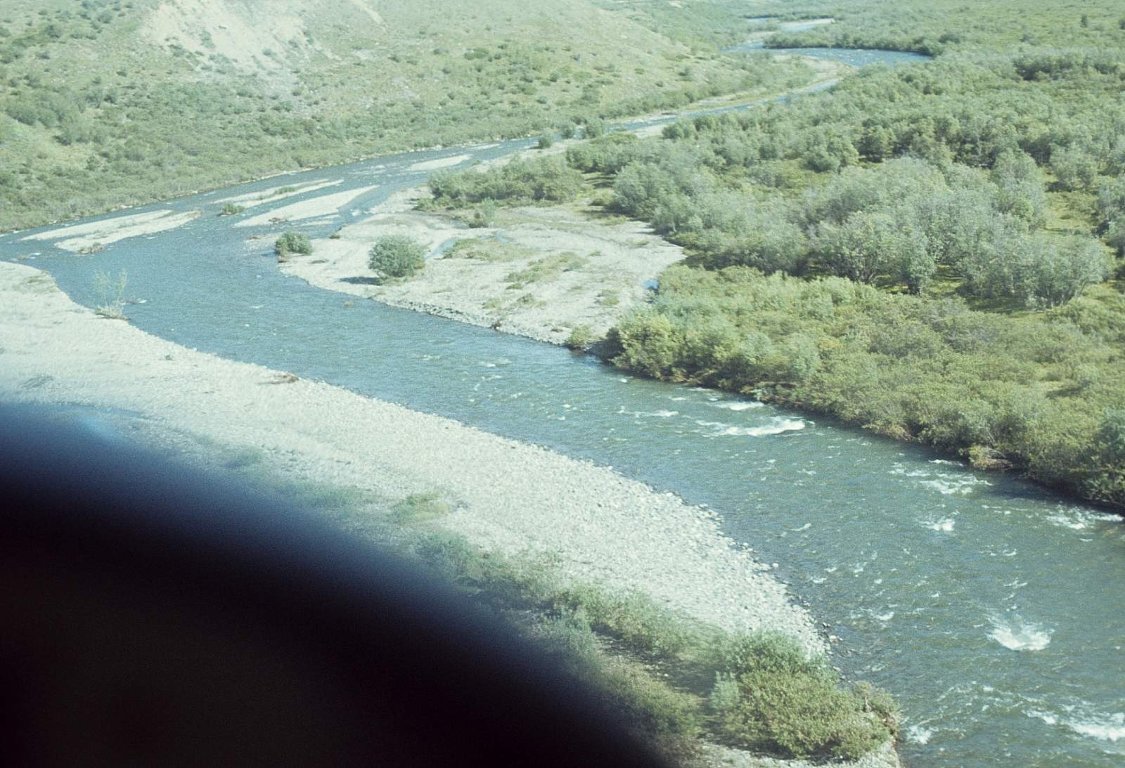
Nome Creek to Victoria Creek: 111 miles
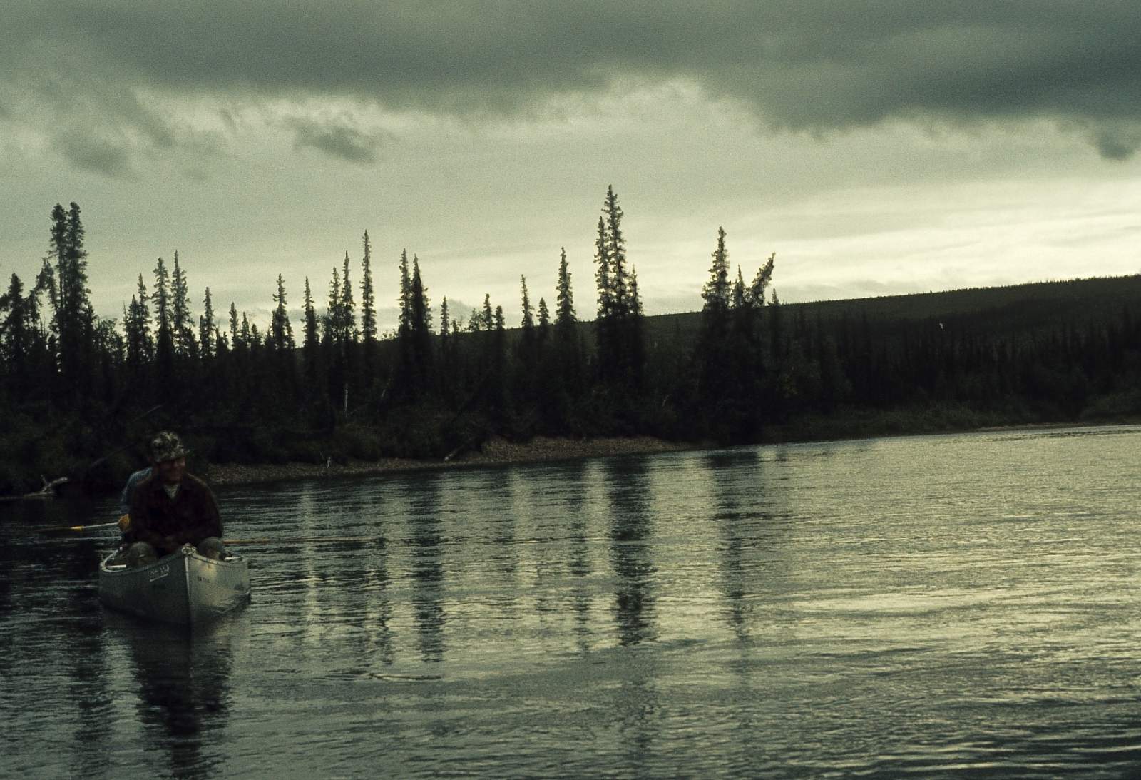
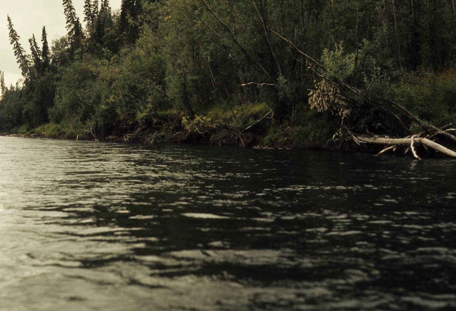
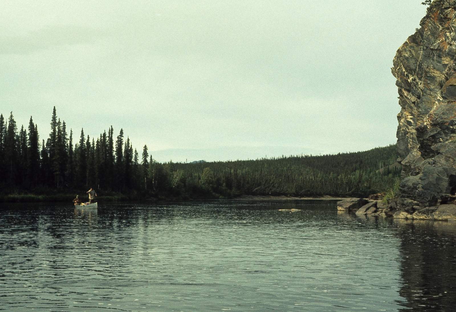
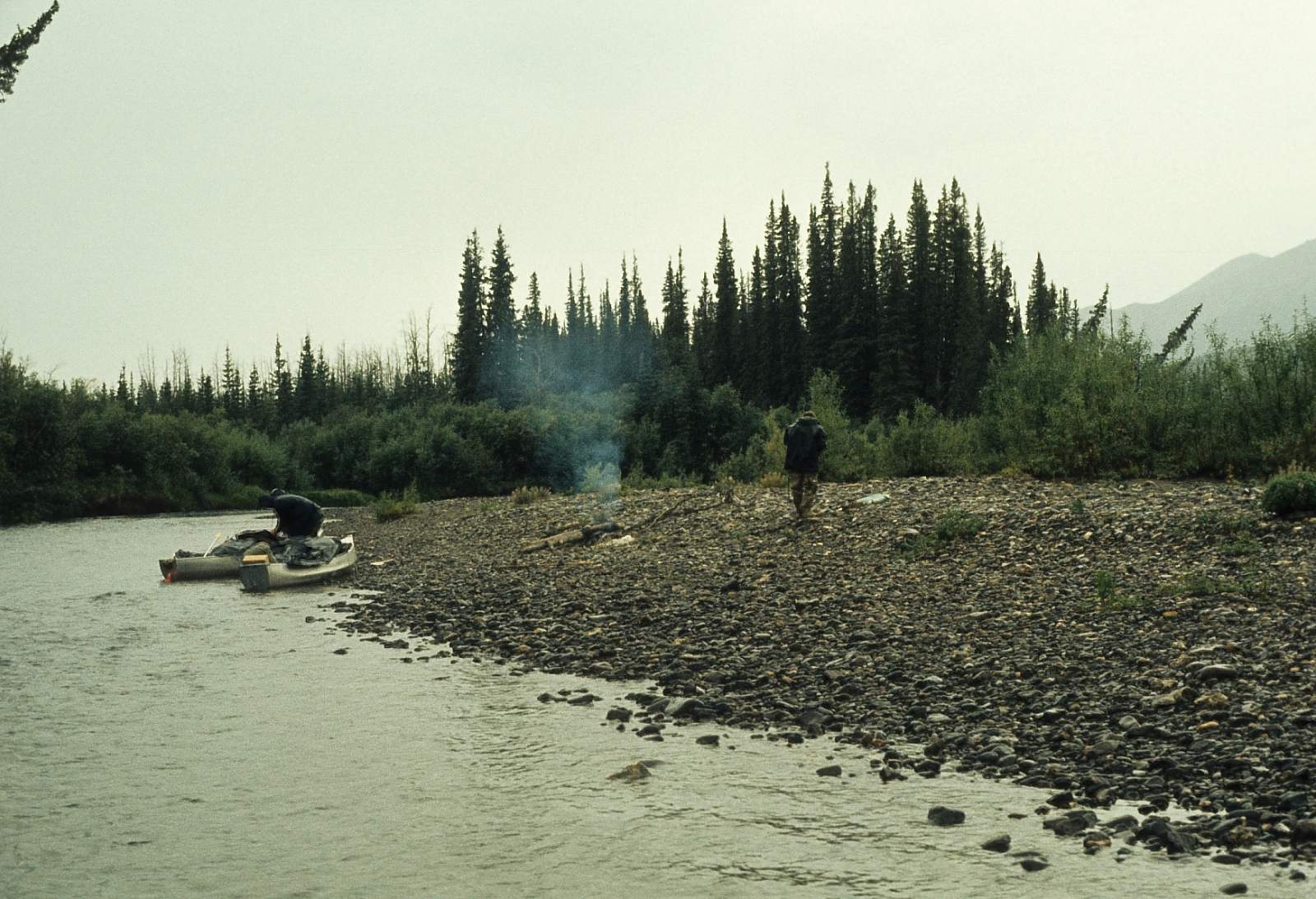
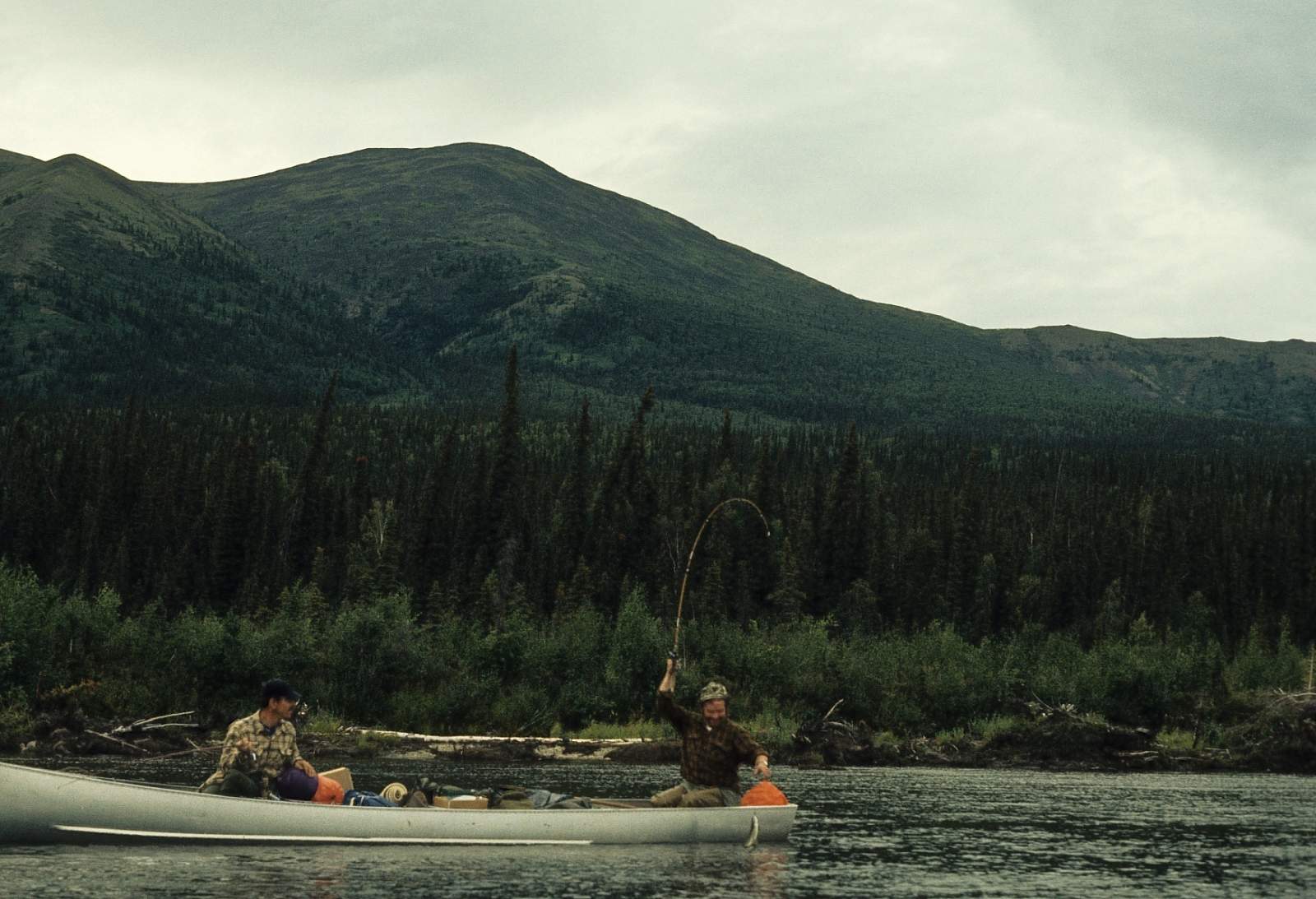
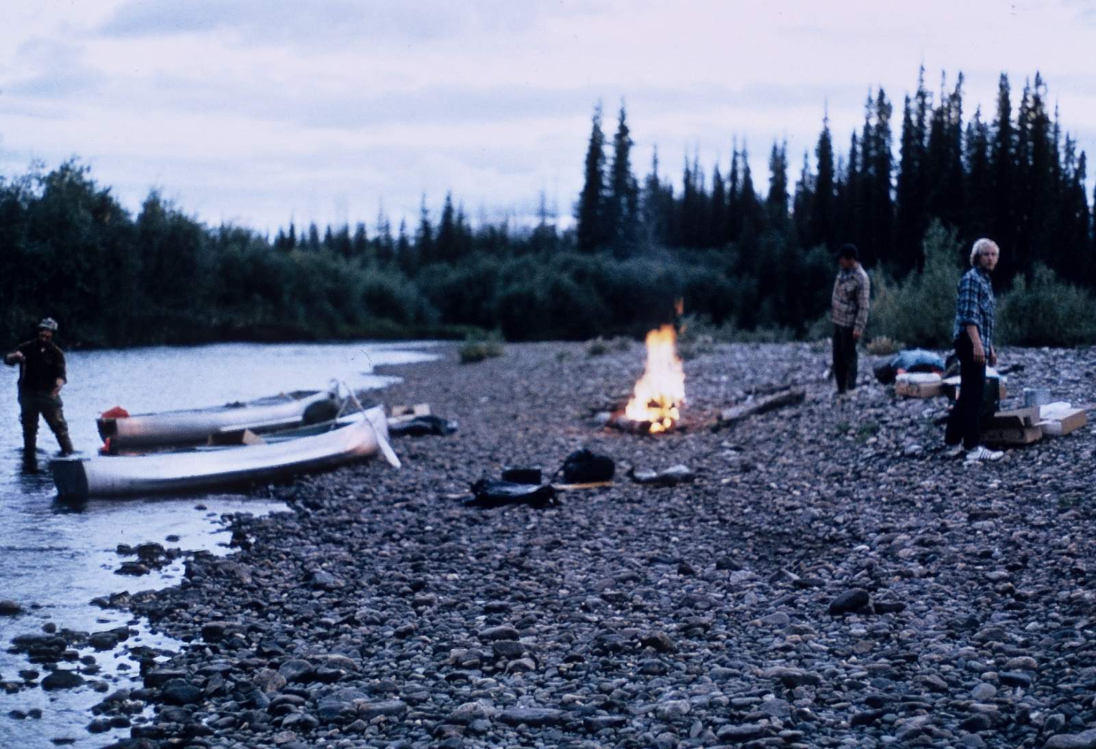
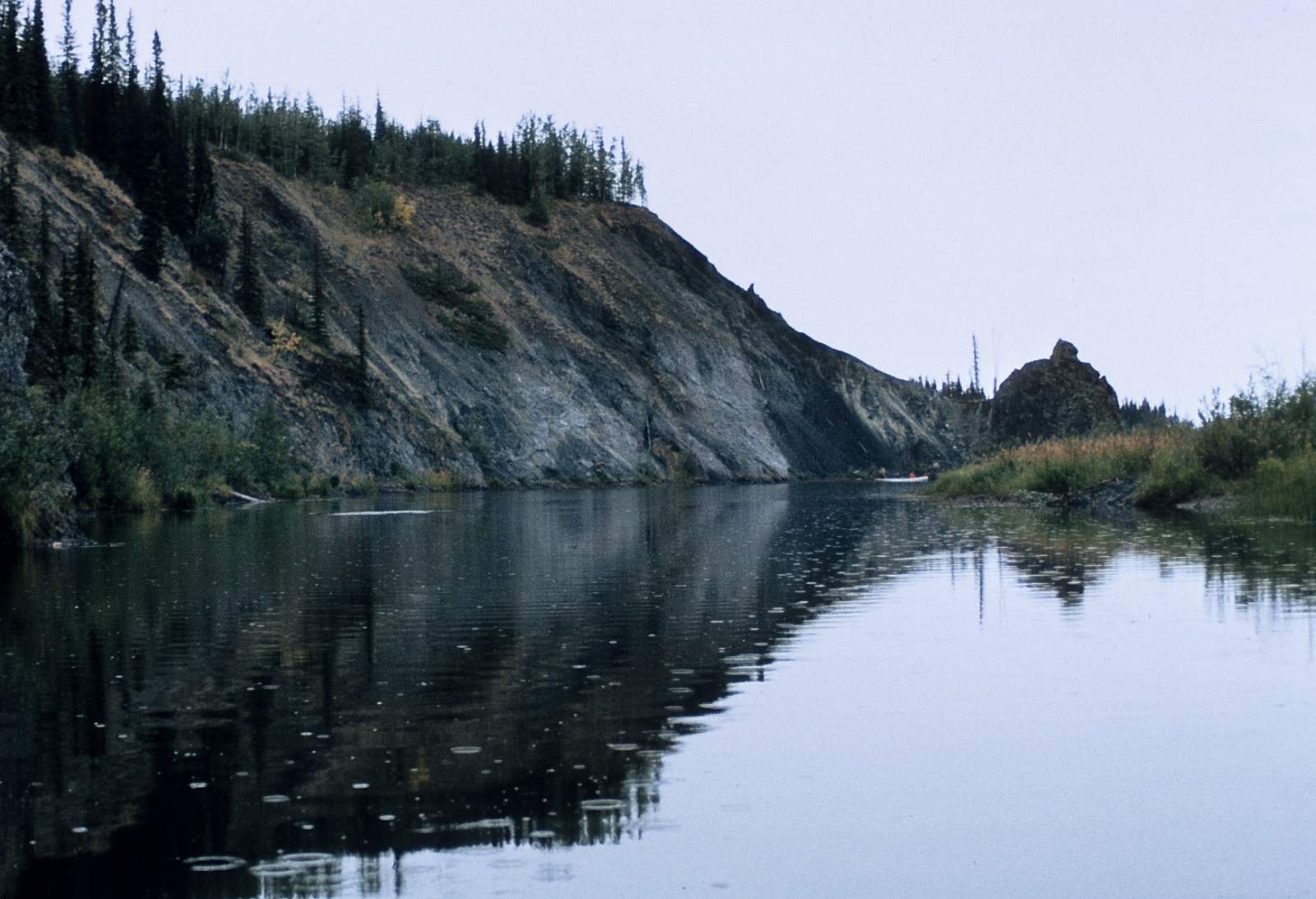
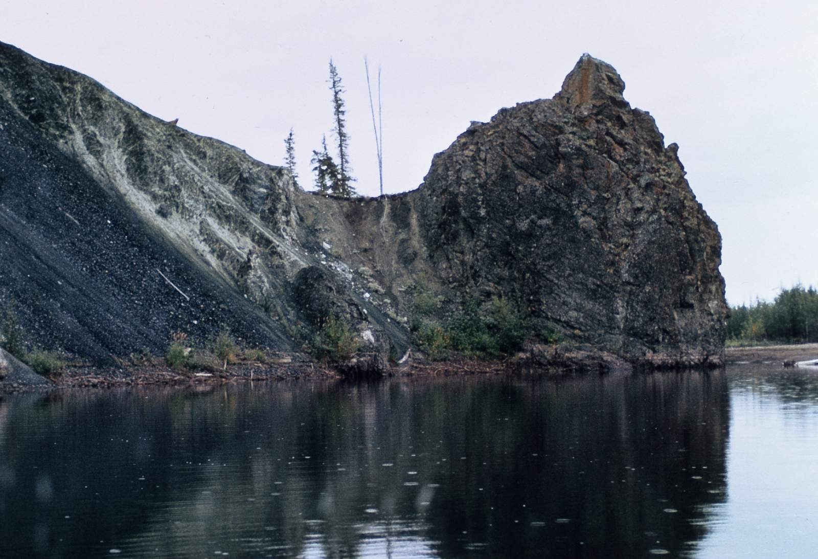
The 4 miles down Nome Creek will involve much difficult paddling and lining of boats over shallows and away from sweepers and is why most people choose to use inflatable kayaks or small rafts. Once on Beaver Creek the combined flows of Nome, Champion and Bear Creek give plenty of water and the paddling is leisurely with a good current to help make many miles when necessary. The long days of summer help as well. In places the river is 100 feet wide and much shrubbery makes off-river travel difficult. The jagged limestone peaks of the White Mountains make for great vistas and sunsets. You will want to have prearranged your pickup and can get GPS coordinates from your flight service for when you reach Victoria Creek if your take out is there. There are several BLM cabins along the way and they require reservations for lodging purposes. See the BLM website for more info.
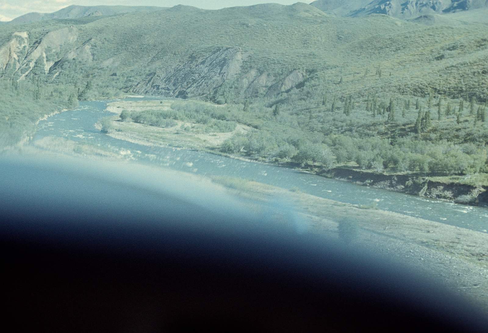
Victoria Creek to Yukon River: 176 miles
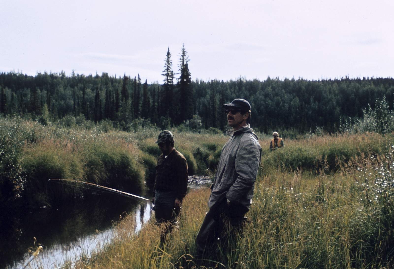
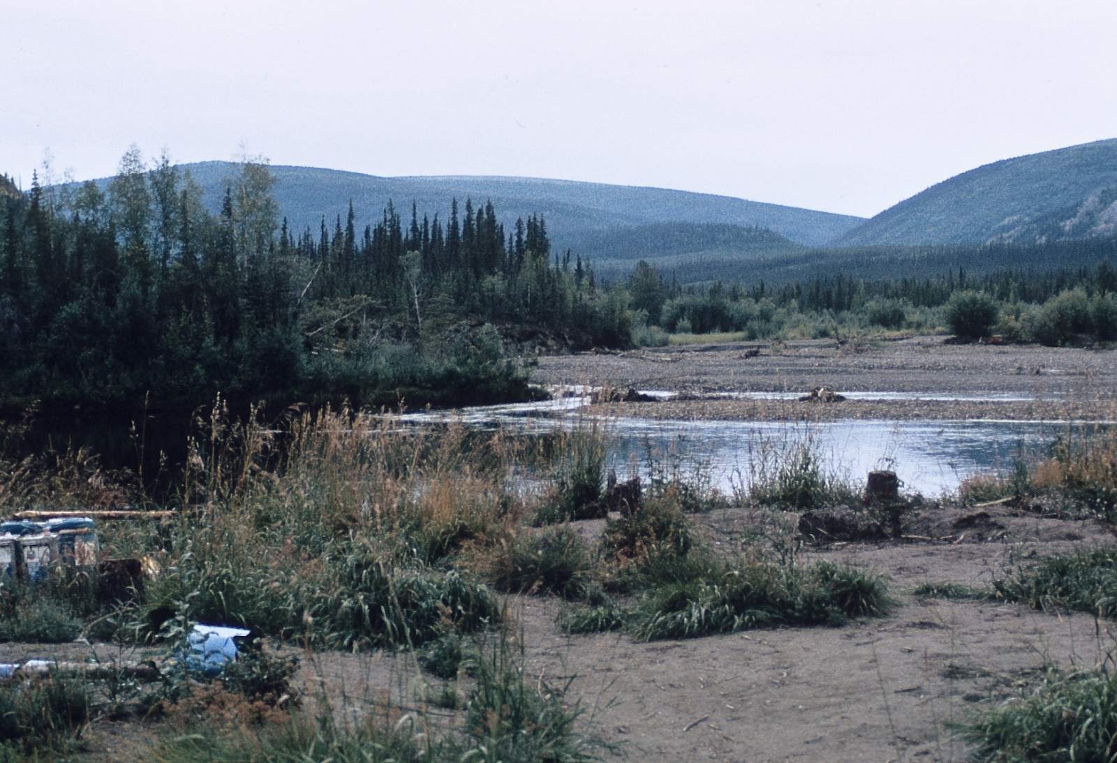
This stretch of river, now, becomes deep and the current begins to slow a bit as the river gradient quickly lessens and is Class I at all times. There is good fishing along this stretch as long as the water is clear. The lower stretch of river as it approaches the Yukon does get somewhat turbid and the gradient is down to only 2 feet per mile making the final stretch to the Yukon slow and a maze of sloughs and channels that beckon you to explore. This is all part of the Yukon Flats National Wildlife Refuge.
Yukon to Dalton Highway: 96 miles
The river is now a deep, clear and slow moving waterway that will let you enjoy fishing and wildlife viewing if you float quietly. Much waterfowl is encountered through here and the surrounding lands are more wet than dry. Choose your campsites well along this stretch of river. Once you are on the Yukon you have 90 miles on the biggest river you have ever been on! You may never even see the opposite shore in most stretches, as there are so many islands to pass and sloughs for you to float down. At the Fort Hamlin area the river turns south and becomes one huge channel as the Fort Hamlin Hills force the river channels into noel where it leaves the sloughs and islands of the Yukon Flats. Once this big single channel turns west you are within 8 miles of the bridge and your take out. Avoid pulling over near the Alaska Pipeline, as security is vigilant here. Best take out is below the bridge on right side of the river.
Other Advice
- This river trip can expose you to quite a few mosquitos so be prepared.
- The BLM website has a listing of the public use cabins along the way and info as to how to reserve one. There are a few hiking trails near them.
- Bear country surrounds you and all precautions should be used to avoid unwanted encounters.
USGS Maps
Livengood B-1, B-2, C-1, C-2, D-1
Circle B-6, C-6, D-5, D-6
Distance
127-360 miles
Days
7-21
Difficulty
Easy
Class
I, II
Craft
Canoe
Kayak
Raft
Cost
$$