Overview
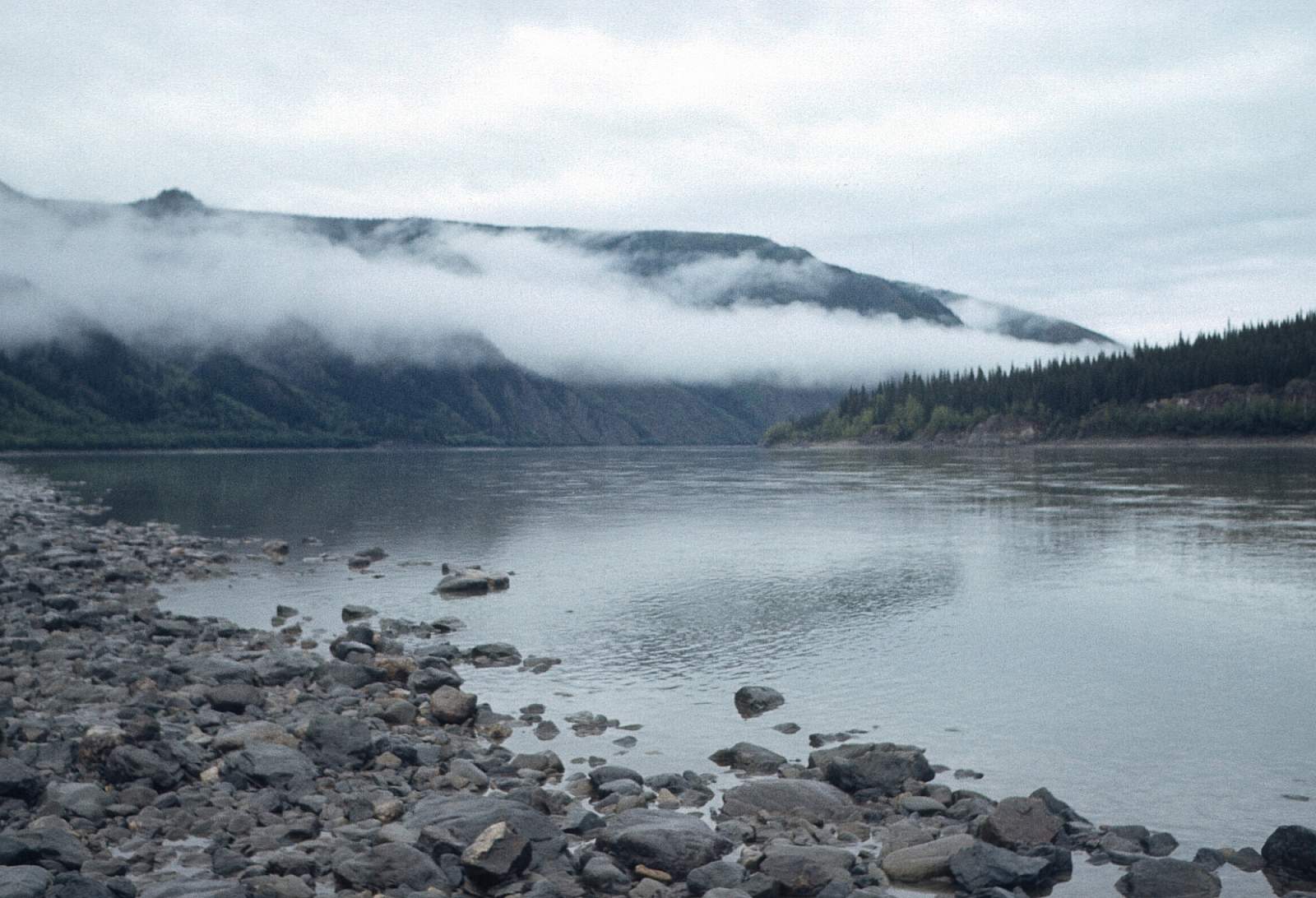
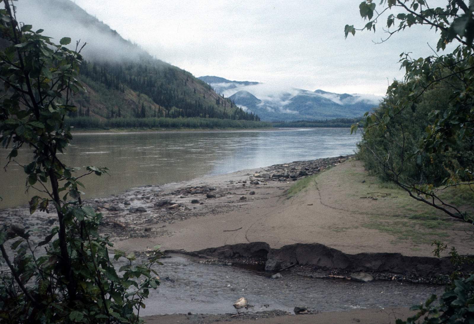
The Yukon River is such a giant; no words can accurately describe the scale of things along its more than 2000-mile length. There are sloughs running through large wooded islands that are bigger than most rivers, and if you need to be on one side of the river at a certain point, you better start many miles in advance getting to that side. Running out of the Canadian subarctic and across the entire breadth of Alaska to where its gigantic delta meets the Bering Sea, the Yukon would take a lifetime of exploring to learn a fraction of its lessons. It has been carrying water all through the last ice age as part of the ice-free corridor that may have linked the subarctic regions with the southern latitudes and has been home to the Athabaskan Native groups for eons. There is a stigma to floating the Yukon that is unlike most other river journeys and it is a big undertaking but is generally a mild river with a few rapids in the Canadian section and strong eddy lines at every turn. Strong winds can create 3-foot waves and getting stopped is never an easy task.
Put In & Take Out Options
The Yukon is so long, there are many sections of river to float, so that one man's put in is another man's takeout. There are 1400 miles of the river in the state of Alaska and 900 miles in Canada. Of course you could land a floatplane almost anywhere to start or end a trip, but the Yukon does have enough road access to yield some good sections of river with access. There is the Canadian section, The Yukon Charley section, the Yukon Flats section, the haul road section and the far western section to consider. The most logical upper access point is in Whitehorse Yukon Territory, unless you went all the way to Lake Bennett or Lake Atlin at the river's beginning.
From Whitehorse there begins a 460-mile section of river that runs to Dawson where road access occurs. From Dawson the river runs into Alaska to the first real access, the Taylor Highway, at the town of Eagle Alaska, 240 miles below Dawson. From Eagle, it is 158 miles to where the river next sees road access at the remote town of Circle Alaska at the end of the Steese Highway. From Circle the river begins it's sweeping bend to the southwest to where the Dalton Highway crosses the river below Steven's Village after 200 miles. After going under the Dalton Highway you are on the way to a section of river without road access but there are numerous villages where regular commercial air service is your ticket out. Below the haul road a likely destination might be Galena, 310 miles away, where the Yukon starts its run to the south and to its giant delta region. At Mountain Village the great river turns into a giant maze of braids and might be a logical place to end a trip on this lower part of the river. The village of Emmonak, near the river's mouth, might be as far as you want to go into the western delta region and is the regional hub for air traffic.
The Trip
Lake Bennett to Whitehorse: 100 miles (5 to 7 days)
The road to Skagway from Whitehorse offers the access to the headwater lakes of the Upper Yukon River. It gives access to Lake Bennett or Lake Tagish or even the far reaches of Lake Atlin, the true headwaters. Where you start is probably dependent upon vehicles and drivers with the first opportunity at Lake Bennett, where you can paddle its length into Lake Tagish and on down to its outlet into the Yukon proper. From here, a 3 to 4 mile an hour current will take you the remaining distance to Whitehorse, Yukon Territory.
Whitehorse to Dawson: 460 miles (20 to 24 days)
From Whitehorse the river is already a big river with riverboat traffic and wide reaches. The Takhini River enters on river left about 12 miles from town. It winds back on itself numerous times as it runs past the suburban reaches of the outskirts of Whitehorse until it reaches the 30-mile long Lake Leberge. This is the most dangerous part of this section of river as the lake often has high winds and can capsize a canoe easily. Stay to the right hand shore for best results. After exiting Lake Leberge you have 15 miles to the confluence with the Teslin River and another 20 mile to the confluence with the Big Salmon River. Here the river swings to the west and heads to the village of Carmacks on the Klondike Highway. Beyond Carmacks a few miles is the Five Finger Rapid, a large section of river that passes through a set of rock islands that can create some waves. Stay to the right hand channel for easiest passage. After Five Fingers, the river settles into its big 5-mile an hour current and for the next 150 miles you are away from roads and will join several big rivers as the Yukon gains water. First, the White River enters from river left, then the Stewart River on river right. Once you arrive in Dawson you can be treated to all amenities and services. It is here the Top of the World Highway enters Canada from Alaska, with ferryboat services for cars and the Klondike River joins from river right.
Dawson to Eagle: 156 miles (7 to 10 days)
From Dawson, the Yukon has become a giant river and runs northwest as it heads to the border with Alaska. The Ogilvie Mountains form the valley wall to the north and after 40 miles the Forty Mile River enters on river left. From Forty Mile it is about 110 miles to Eagle where the next access road is found. There is a small monument where you enter the USA and a cleared swath of land.
Eagle to Circle: 258 miles (10 to 14 days)
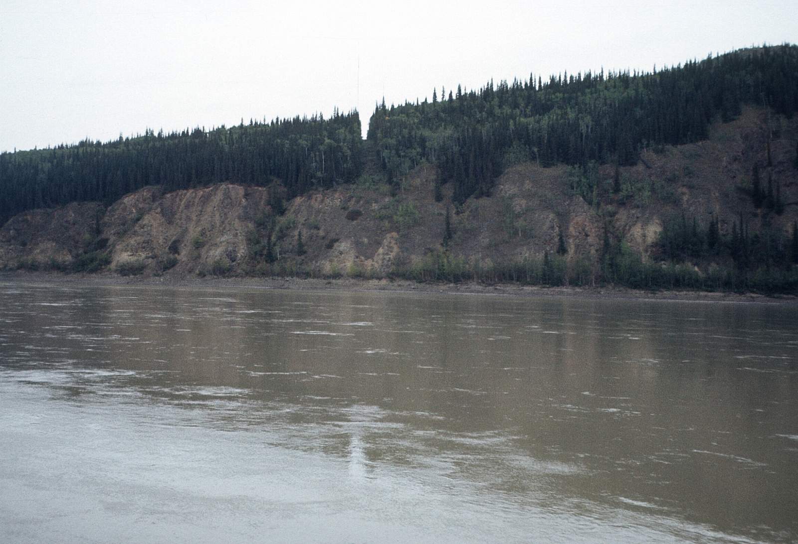
Just down river of town is the Eagle Bluffs that force the river into a big turn and is a spot where spring breakup sometimes forms ice dams and floods the river valley. There is a strong 5-mile an hour current all through here.
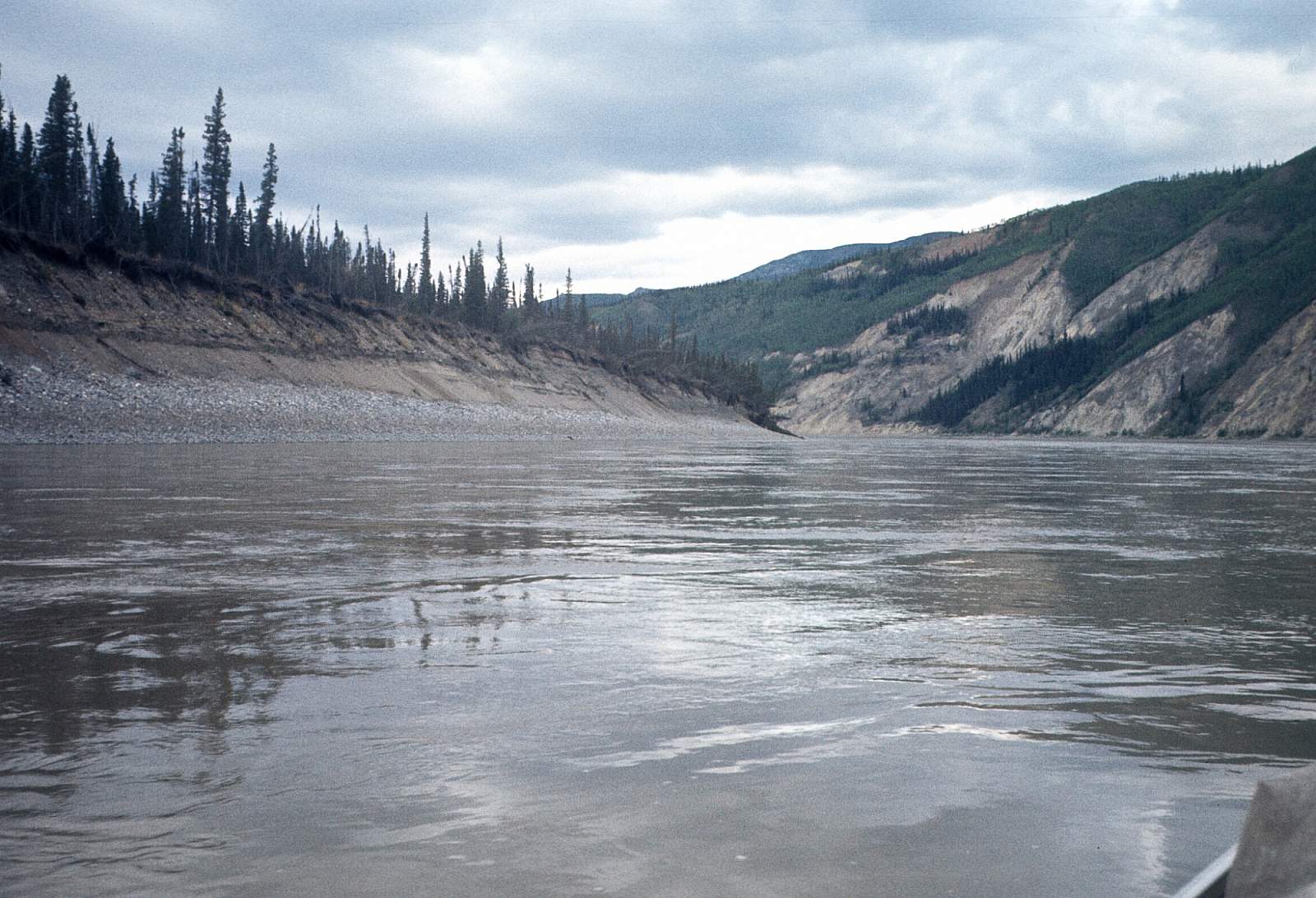
This stretch of the Yukon is a classic bit of wide, huge river with islands and channels. Not far ahead you enter the Yukon Charley Rivers National Preserve and for over a hundred miles you will be in the preserve. Running northwest and then west the river passes the mouth of the Charley coming in from river left. About ten miles past the Charley confluence, the river flows due west past a series of cabins known as Slaven's, McGregor and Woodchopper which are on the trail of the 1000 mile Yukon Quest SledDog race. There are fish wheels and likely motorboats all along here. After another 15 miles, the big river swings to the north and pushes up against the left shore at Takoma Bluffs. A brief swing to the west is followed by a mostly northward flow as the last 40 miles flow past. Be sure and stay to the left as you get closer to Circle—there is a channel that goes to the right and rejoins the river below Circle.
Circle to Dalton Highway Bridge: 310 miles (15 to 20 days)
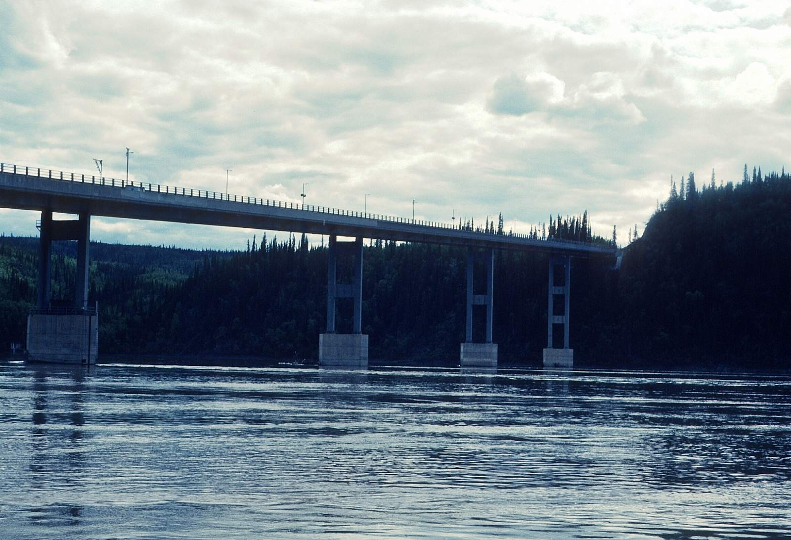
At Circle the river continues to run northwest and enters the Yukon Flats National Wildlife Reserve and when you pass the town of Fort Yukon, the confluence with the Porcupine River is reached. Here the river system is tens of miles wide with channels through big wooded islands and thousands of lakes. Where it meets up with the Porcupine, the Yukon seems to begin its search for a direct route to the sea and begins a run to the southwest for hundreds of miles. Past Venetie and the confluence with the Chandalar River, past Beaver, past King's Slough Village with dozen's of islands and sloughs to tempt you away from the main channel. Once you reach Steven's Village the river will sweep due south for a 5-mile section, past Fort Hamlin. Then it runs due west the final 20 mile stretch to where the Dalton Highway Bridge is found. Best take out is on river right below the bridge.
Dalton Highway to Galena: 320 miles (15 to 20 days)
Below the Dalton highway is an area more connected by riverboat than road, so boat traffic becomes more and more common. At one point the river swings around 180 degrees to run east for a bit where it steers away from the Ray Mountains. Soon it straightens onto a SSW course. At the town of Tanana is the confluence with the Tanana River, a giant river in its own right, and the village has a grocery store and a few other services and is on the right side of the river below the huge confluence. Where the Tozitna River enters from the right, the Yukon is pushed to the left and a large set of islands is formed. The Tozitna slough is a nifty short cut. A string of native villages are through here, with Ruby 50 miles before Galena. Ruby is another hub village and has a store and the Nowitna National Wildlife Refuge is nearby. Galena is another major river village with a fishing industry and processing plants. At one time there was a military installation here that caused a sort of boomtown atmosphere for a while.
Galena to Mountain Village: 420 miles (16 to 21 days)
From Galena, the river continues its westward migration until the Nulato Hills blocks the way and forces the river to hug the base of the hills and turn SSW past Koyukok, Nulato, and Kaltag. As you approach Kaltag the down river view is actually an upriver view of the Unalakleet River. This is where the Iditarod Sled Dog Trail portages to the coast, through this valley you see on approach to Kaltag. At Kaltag the river jogs due south a bit and starts winding past big wooded islands. The current is strong and winds are a common problem through here. This region is the Innoko National Wildlife Refuge and you pass Bullfrog, Eagle, Blackburn, and Fox Point Islands to where the village of Grayling sits on the right side of the river. After passing Anvik, Paradise, and Holy Cross the river soon swings from south to west and you begin the long journey into the Yukon delta country. All along the remaining distance here are small villages with names like Dogfish Village, Russian Mission, Kakamut, Marshall, and Pilot Station. Once you pass Pitkas Point and after the confluence with the Andreafsky River, a National Wild and Scenic River entering from river right, Mountain Village marks the point where the river begins to braid a lot and turns to the north.
Mountain Village to Emmonak: 80 miles (4 to 6 days)
The home stretch here is open country and exposed to the extreme weather that can happen here. Emmonak is the recommended destination as it is the regional hub out here and offers the best flight home options. Regardless, know your way through here and get any specific details you can from pilots or local informants. Past Mountain Village the river runs north for sometime and at a point about 25 miles north of MV, stay in the left main channel as the northward flowing, smaller channel goes well away from Emmonak. Fish Village is along here. Soon after this point, the river swings to the west and just at the point where the river starts to turn to the southwest there is a channel to the right you must take to get to Emmonak. If you take the turn to the south the next village is Alakanuk. Ask a local in a boat or on shore.
Other Advice
- Camping out in the open on gravel or sand is the best way to avoid mosquitos.
- There is never a moment when you are not in bear country during this trip.
USGS Maps
Charley River A-1, A-2, B-2, B-3, B-4, B-5, B-6, C-6, D-6
Circle C-1, D-1
Eagle C-1, D-1
Livengood C-6, D-6
Tanana A-3, A-4, A-5, B-1, B-2, B-3, C-1, D-1
Distance
80-2300 miles
Days
4-90
Difficulty
Moderate
Class
I, II
Craft
Canoe
Kayak
Cost
$$