Why Take This Hike
This 7-mile hike, which begins in the mountains just above Anchorage, takes you to the numerous Williwaw Lakes, all of which are clustered below the sheer north face of Mount Williwaw—the highest peak in the Front Range.
The Details
To reach Williwaw Lakes doesn’t require an excessive amount of climbing, but it does take some miles of hiking. In fact, you have to hike for 3 miles just to reach the beginning of Williwaw Lakes Trail from the Prospect Heights parking area.
To get there, you’ll hike more than a mile up through the woods on Wolverine Bowl Trail, then another few miles up Middle Fork Loop Trail. Once you start up the 4-mile Williwaw Lakes Trail, you’ll find it’s not in the best shape; bogs and mud often make for slow going. However, the gradually climbing trail improves higher up the valley.
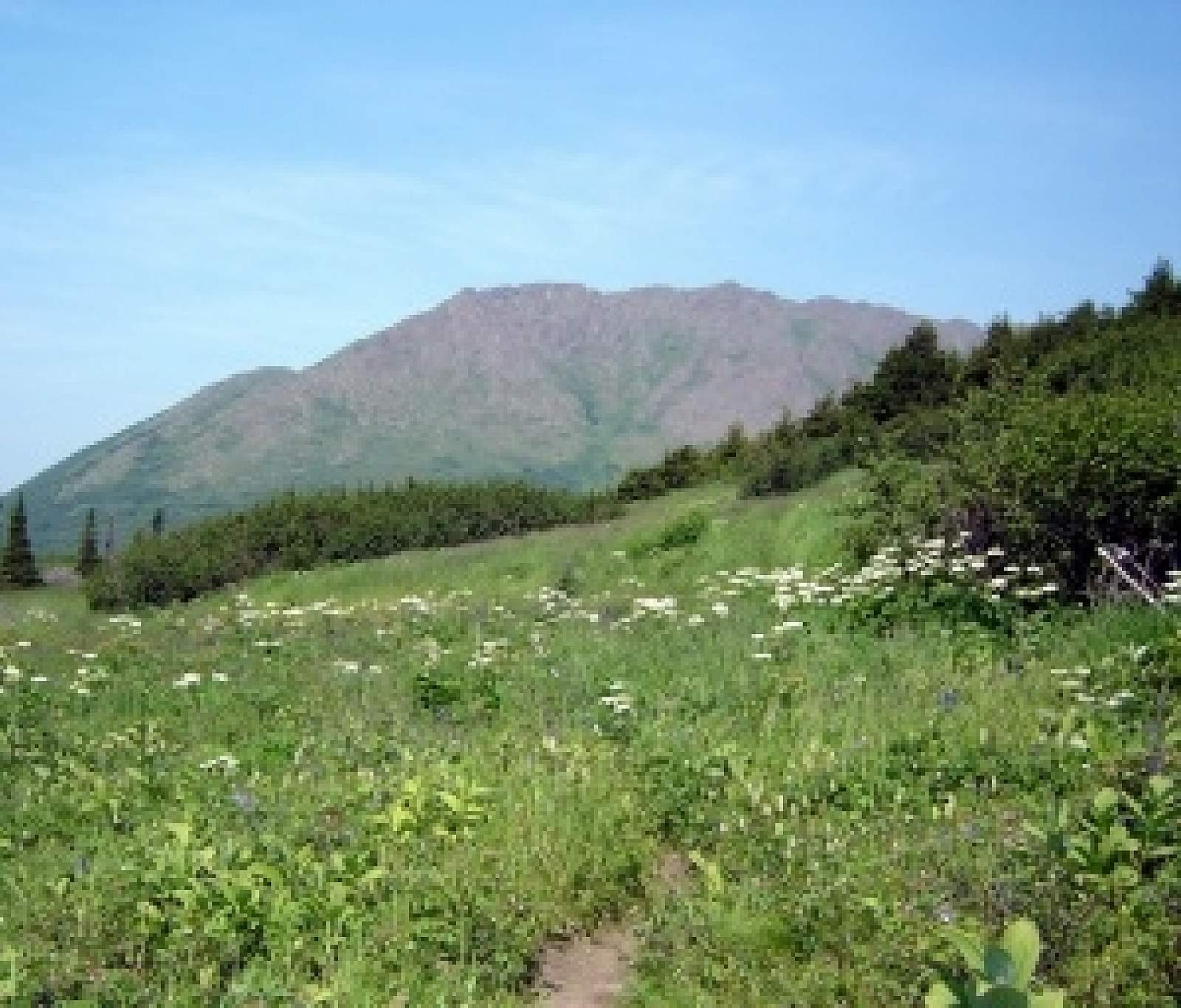
Within 1 mile of starting up the trail you’ll see the imposing west face of Williwaw Peak (5,445 feet)—a great, triangular mass of mountain that dominates the entire uppermost end of the valley. Framed by ridges and subordinate peaks, it stands preeminent and aloof.
In another mile, the trail leaves most of the mud and bogs behind as it climbs onto a bench above the valley’s right side. Soon after, you’ll reach tree line, where the first and lowest of the Williwaw Lakes should come into view. After continuing past two smaller lakes, the trail reaches the largest of the Williwaw Lakes.
Beyond this largest lake, the trail drops through some brush before climbing out the far side to where the trail ends at a small but photogenic waterfall—one of many in the area. Listen closely and you’ll hear the sound of water echoing across this entire high, rock-walled valley.
In June and July you’ll also hear the calls of birds, many of which are nesting on the numerous lakes and in the nearby low brush. Most of their calls and songs make for a pleasant antiphony to the sound of running water. Just be wary of the terns; they’ll attack without hesitation, dive-bombing anyone who comes even remotely near their nests.
You don’t have to stop at the upper end of the official trail, below Mount Williwaw. If you start up the adjacent valley to the left, you’ll soon come upon a rough trail that climbs to a series of "rosary-bead" lakes, left behind by a receding glacier. Each lake occupies a higher shelf of this valley, which climbs up to the pass that leads into the Long Lake Valley. As you climb from shelf to shelf, the lakes grow smaller and the noise of water recedes. Eventually, you’ll reach the quietly lapping waters of the uppermost lake—a tarn tucked into the cirque below the steep wall leading up over the divide and into the next valley.
(For more, see Walk-About Guide to Alaska, Volume Two by Shawn R. Lyons)