This area was once the site of the Lassen airstrip. In the 1930s and ‘40s, air service flew supplies into the area. Before this, the only way to get fuel and other supplies to the mining camps was by sledding them up-river during the winter.
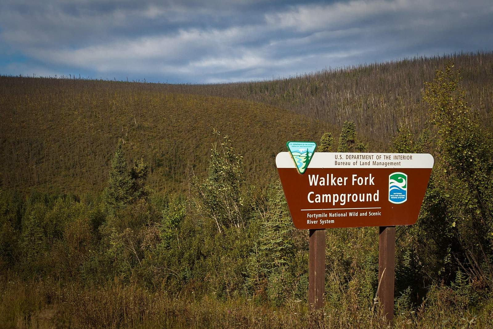
Walker Fork BLM Campground

Photos