Why Take This Hike
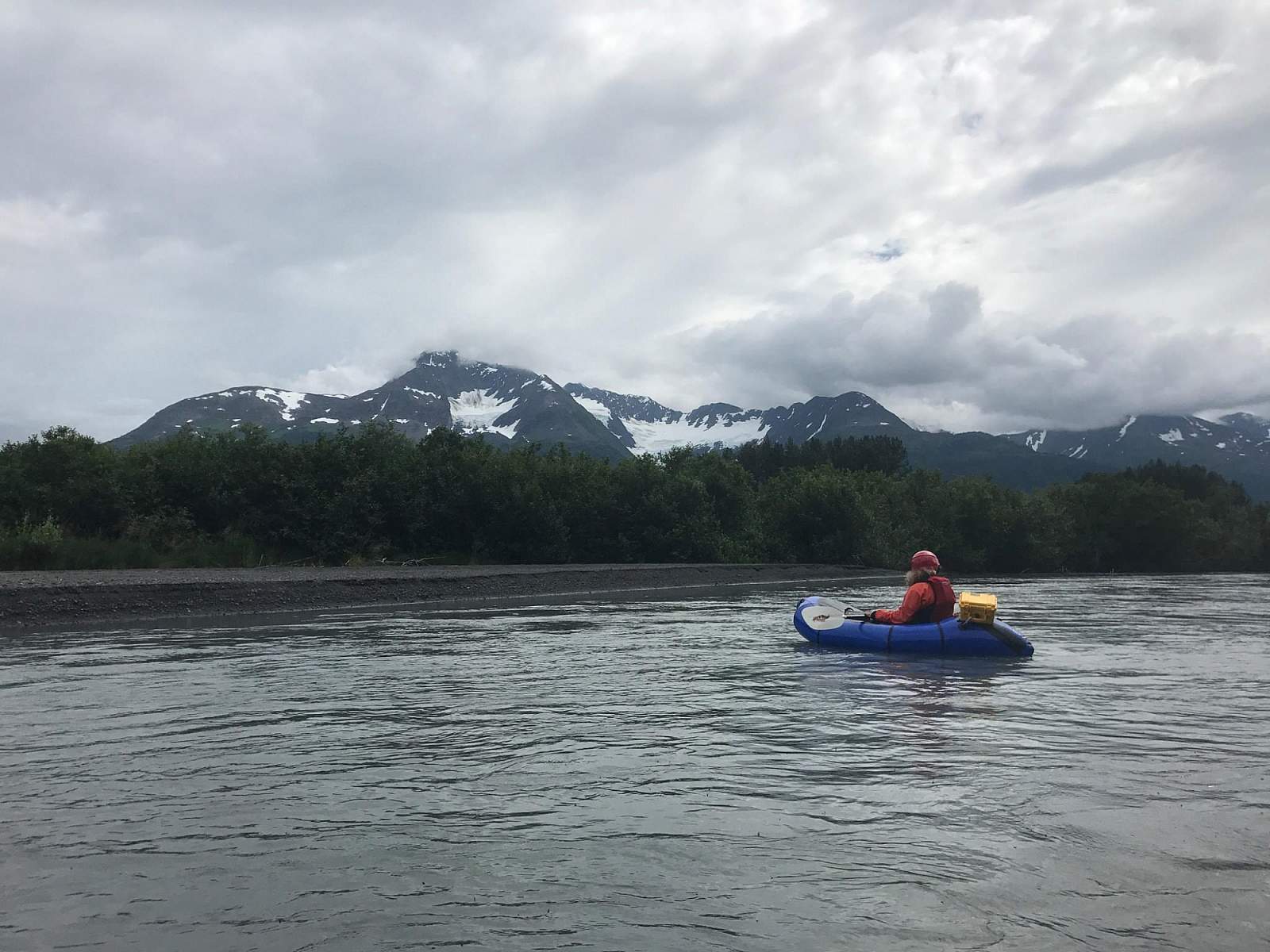
Primarily built to provide pack-rafters and kayakers access to the headwaters of Twentymile River, this 9-mile-long trail has also proved a draw for hikers—and with good reason. Just 45 minutes south of Anchorage, it makes for a very scenic hike into some high, wild, glacier-girted country.
The Details
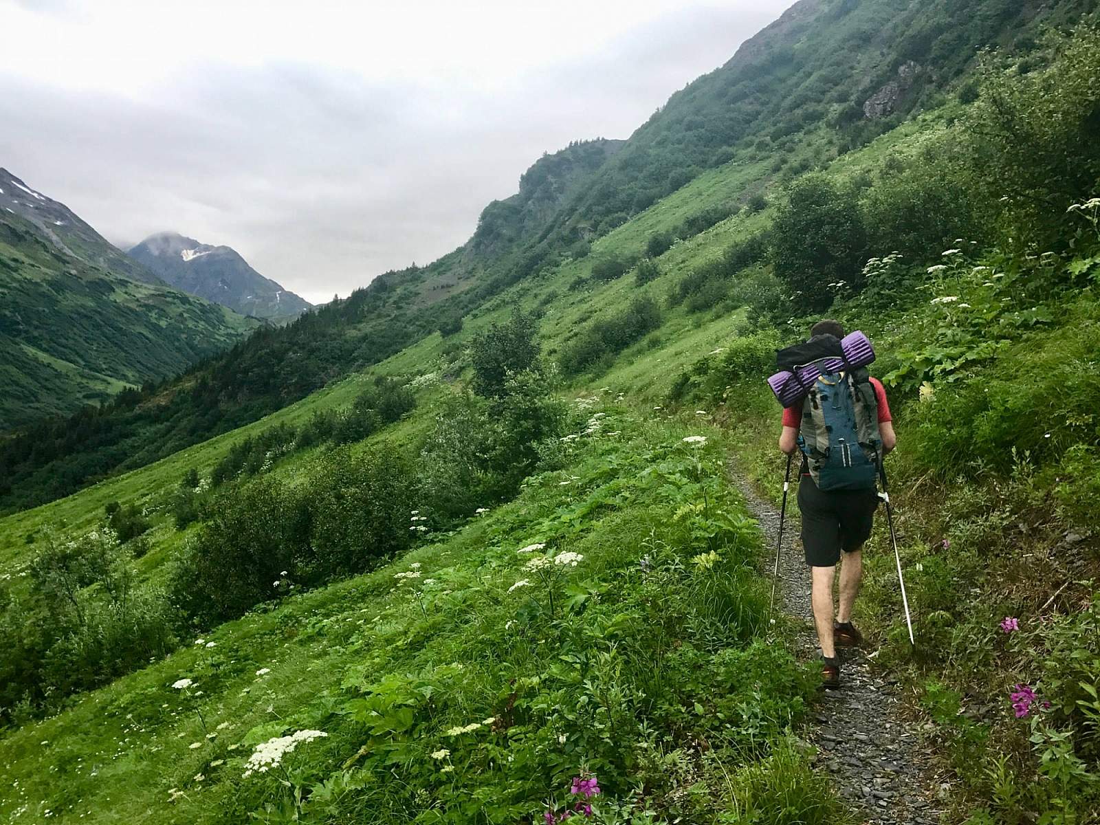
The trail begins just above the lower tram station of the Hotel Alyeska in Girdwood. Start by hiking 1.7 miles on Winner Creek Trail to the beginning of Upper Winner Creek Trail, which connects at a "T" intersection. Turn right and you’ll officially begin hiking Upper Winner Creek Trail. It climbs shallowly, dipping in and out of streambeds and over rock fields as it follows Winner Creek. When the valley doglegs to the left, the trail follows—and begins to climb with more determination.
By this time you should have some glimpses, through the surrounding brush, of the rugged country into which you have ventured. Often girted by clouds and usually snow-covered well into the summer, the surrounding peaks have an aura of remoteness that awes even the hardiest climbers. As you watch the mountains come and go through the mist, you can also hear the rumbling of Winner Creek rising from the deep spruce forests below.
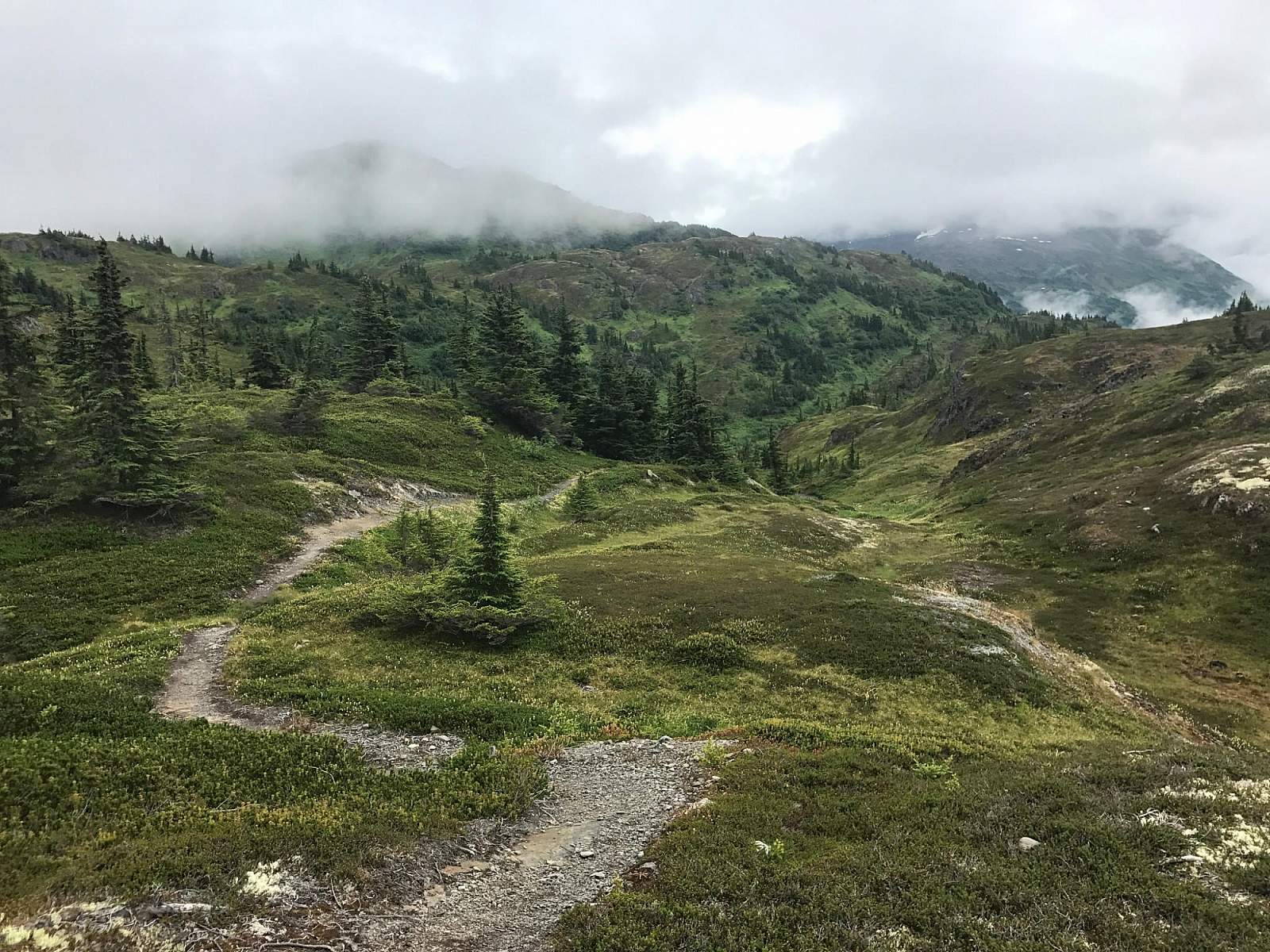
After climbing two series of switchbacks over the next few miles, the trail finally reaches tree line. About 0.5 miles above that point, and some 7.5 miles from the Hotel Alyeska, you’ll find the wide crest of Berry Pass (approximately 2,500 feet). Here you can look across to the great face of Eagle Glacier and up to the spired, ice-bound peaks hiding its extensive mass.
On the far side of Berry Pass, the trail begins its gradual 1,500-foot descent and ends at a bridge over Rosehip Creek (one of the tributary streams making up the headwaters of Twentymile River).
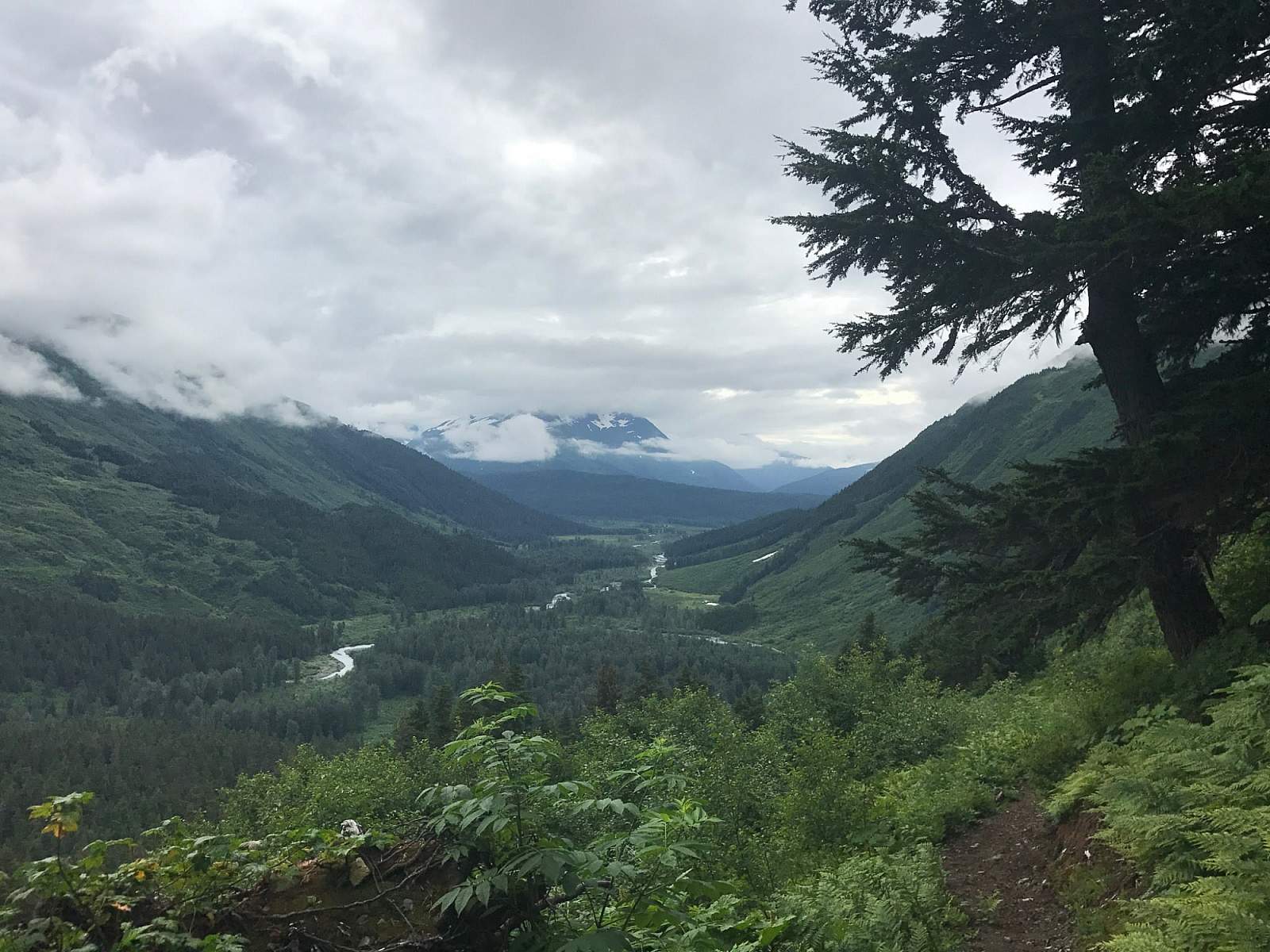
Many people, however, don’t hike as far as the bridge, finding Barry Pass as good a place as any to turn around. After all, some assume, why descend all that way down into the brush just to have to climb back up again? It’s a fair question, but what those people are missing is the mysterious sense of isolation that fills you when descending at least part way down to Twentymile River.
(For more, see Walk-About Guide to Alaska, Volume One by Shawn R. Lyons)