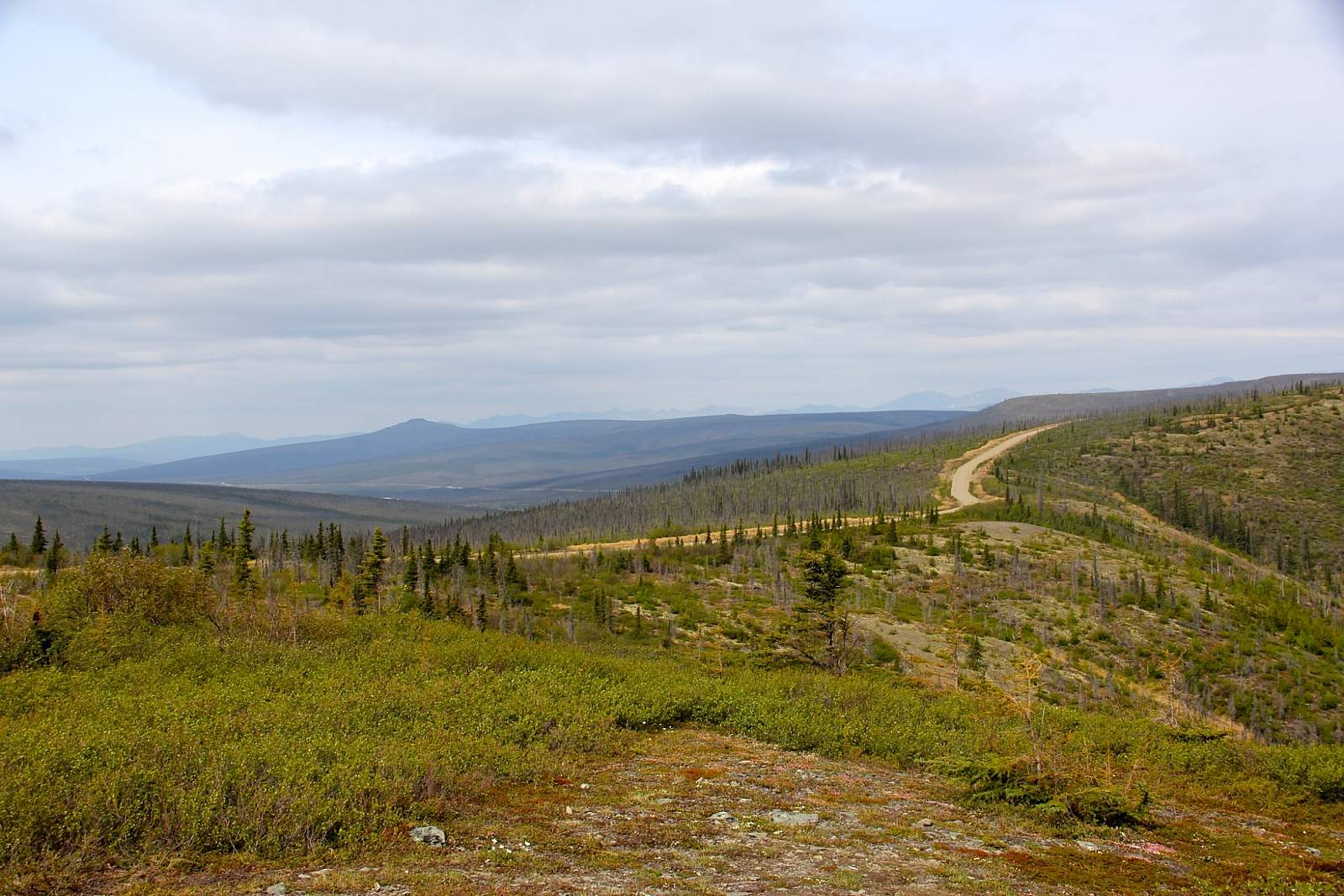
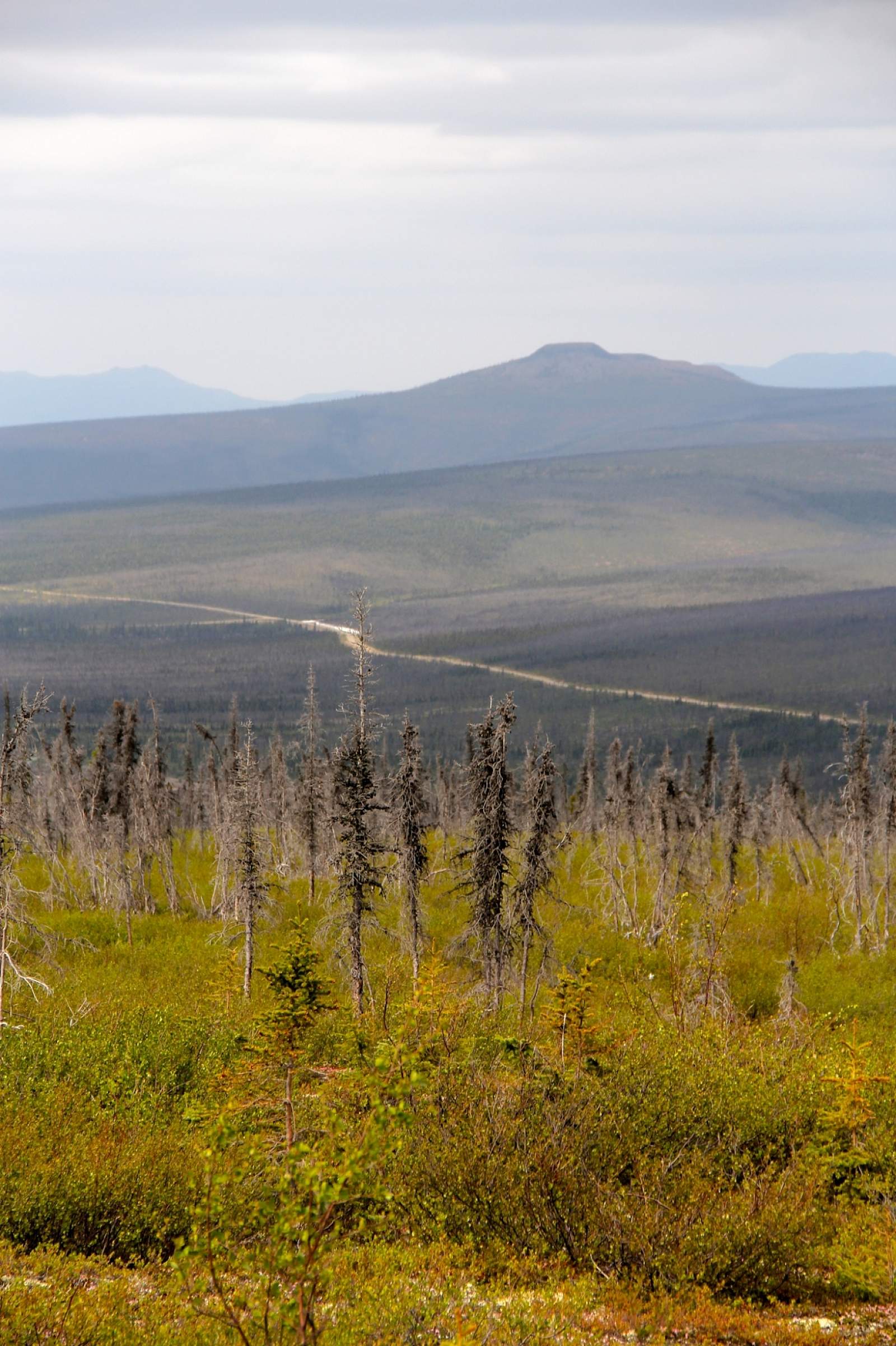
Easily one of the most scenic drives in the Interior, the trip out to Table Top Mountain from Fairbanks winds deep into the center of White Mountains National Recreation Area, rising up hillsides and dipping down into valleys for a rolling picture show of spruce forest and snaking riverbeds.
The hike to Table Top Mountain is just as spectacular, providing panoramic views of the White Mountains from the center of the range, and is a short “must do” jaunt if you’re spending any time in the area.
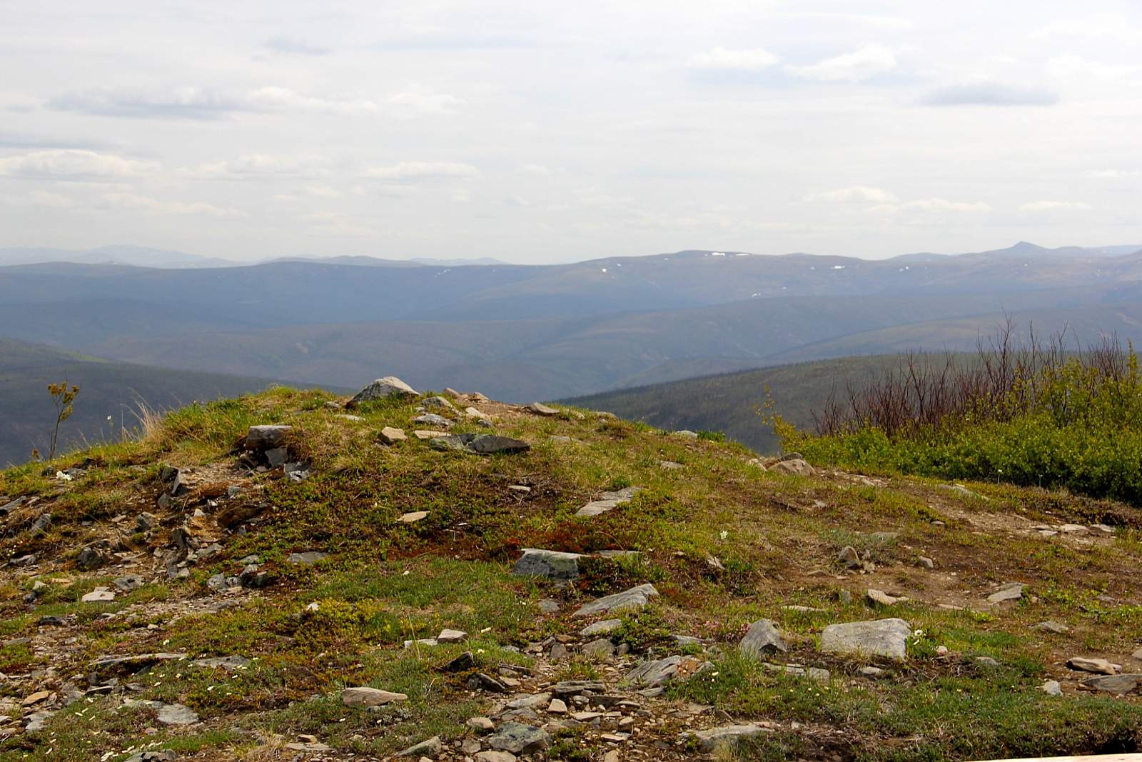
From the Steese Highway, hikers should turn left onto U.S. Creek Road at mile 57.4. Continue on the gravel road for about seven miles until it splits into a T intersection. There are multiple scenic viewpoints and photo opportunities along the way. Turn left at the T, and continue for another eight miles on this secondary gravel road in the direction of Ophir Creek Campground. The trailhead for Table Top Mountain is on the right. The trail requires a steady climb of about a thousand feet. At the top, hikers can explore two summits for wide, expansive views of the White Mountains and the Alaska Range on a clear day.
The loop trail ends just a few hundred feet from its start, right by your car. Trail washouts can be an issue in early season, so check with the Bureau of Land Management to make sure the trail is open and accessible before making the drive.
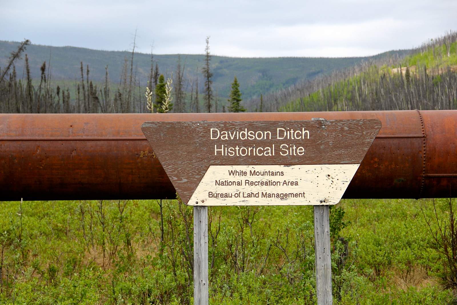
Restroom facilities are available at mile 57.4 on the Steese Highway (at the turnoff for U.S. Creek Road), where you’ll also find interpretive signs and a gravel road to Davidson Ditch, a predecessor of the Trans-Alaska Pipeline System that once transported water to gold dredges for use in mining. It was Alaska’s first pipeline project.