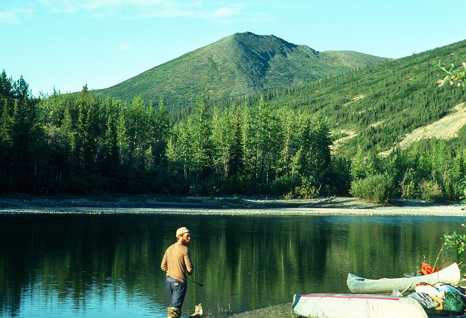
Overview
The Salmon River, a designated National Wild and Scenic River, located in the Kobuk River National Park is a clear waterway with exceptional scenic attributes traversing a variety of vegetative zones as it flows south out of the Baird Mountains to its confluence with the Kobuk River. Gin clear and without any obstacles, it is a Class I river for the 45 miles to where it joins the Kobuk River. There is an additional 48 miles of Class I along the Kobuk River to the take out at Kiana. A small river, in its headwaters there is often not enough water to float upon above the Anaktok-Sheep Creek confluence. This trip may involve a bit of effort but for a mild to moderate river trip, it is well suited for a family of avid campers and fishermen who appreciate a remote wilderness and the possibility of meeting local native families along the lower river or at the take out village of Kiana. With 50 miles along the Salmon River and another 50 miles along the Kobuk this is an easy 100-mile trip that can be done in 6 to 10 days. From the tundra covered alpine and mountainous beginnings, the river flows over shallow and deep pools separated by shallow riffles, then through a region where there is a huge poplar and spruce forest, with trees up to 4 feet in diameter! Eventually, the river takes you through rolling hills to the lowlands of the Kobuk River valley.
Put In
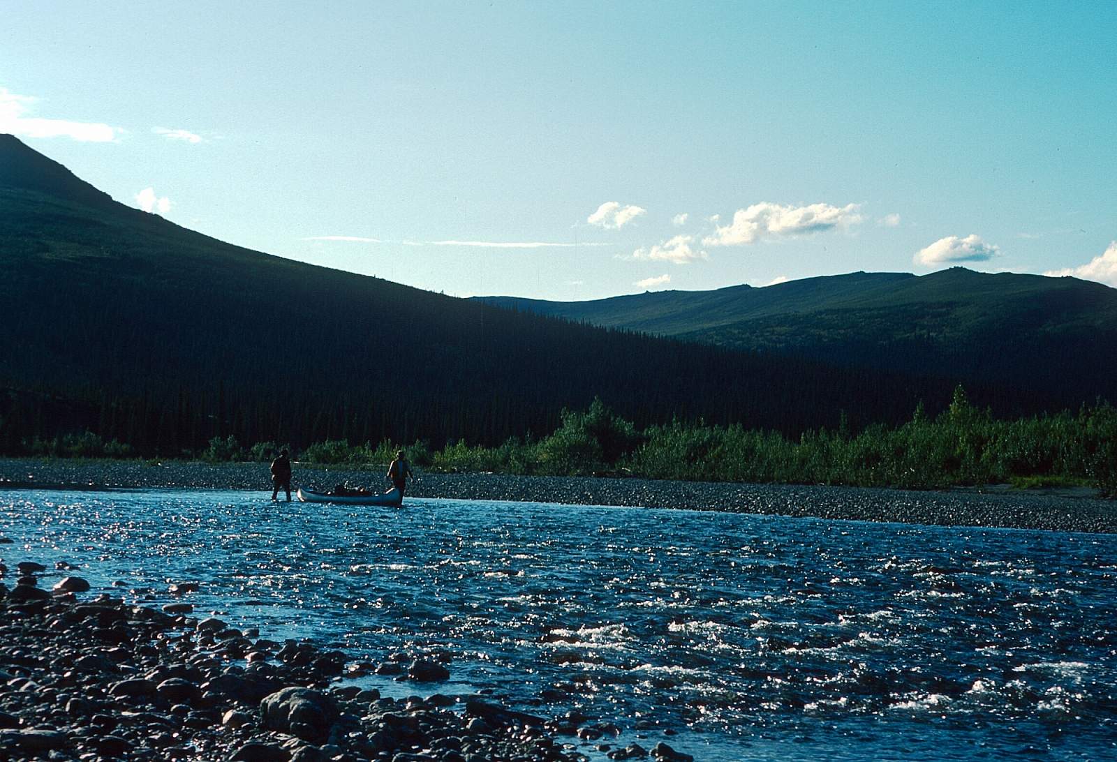
To get to this river you will need to fly from Fairbanks to Kotzebue or Kiana on one of the regular commercial flights. From either Kotzebue or Kiana you can, then, charter a small plane that can take you to a gravel strip at the midpoint of the river. This is a 30-minute flight from Kiana. Many groups will fly commercially to Kiana from Kotzebue and then charter a flight to the river put in, in a wheel plane that will land on a gravel bar. Rarely is there enough water to risk going upriver further than the Anaktok-Sheep Creek confluence, certainly not in a raft. Inflatable kayaks or folding canoes could manage even though you will spend as much time lining/walking your boat as floating in it for the first few days. To be safe inquire about landing on the gravel strip at the Sheep Creek-Anaktok Creek confluence.
Take Out
The take out will most likely be from the village of Kiana, located on the right hand side of the Kobuk River 48 miles below where the Salmon River joins the Kobuk River and just below where the Squirrel River enters from river right. GPS coordinates for Kiana are N 66 degrees and 58 minutes by W 160 degrees and 26 minutes. By floating another 25 miles you would reach the village of Noorvik where a flight to Kotzebue is easily arranged. Noorvik coordinates are N 66 degrees and 50 minutes by W 161 degrees and 03 minutes.
The Trip
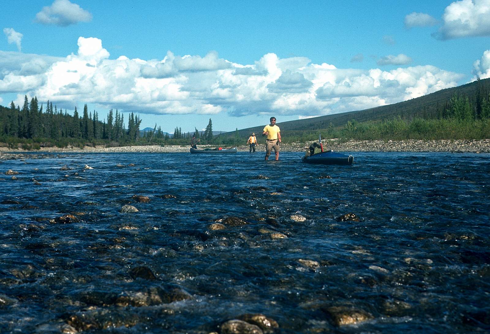
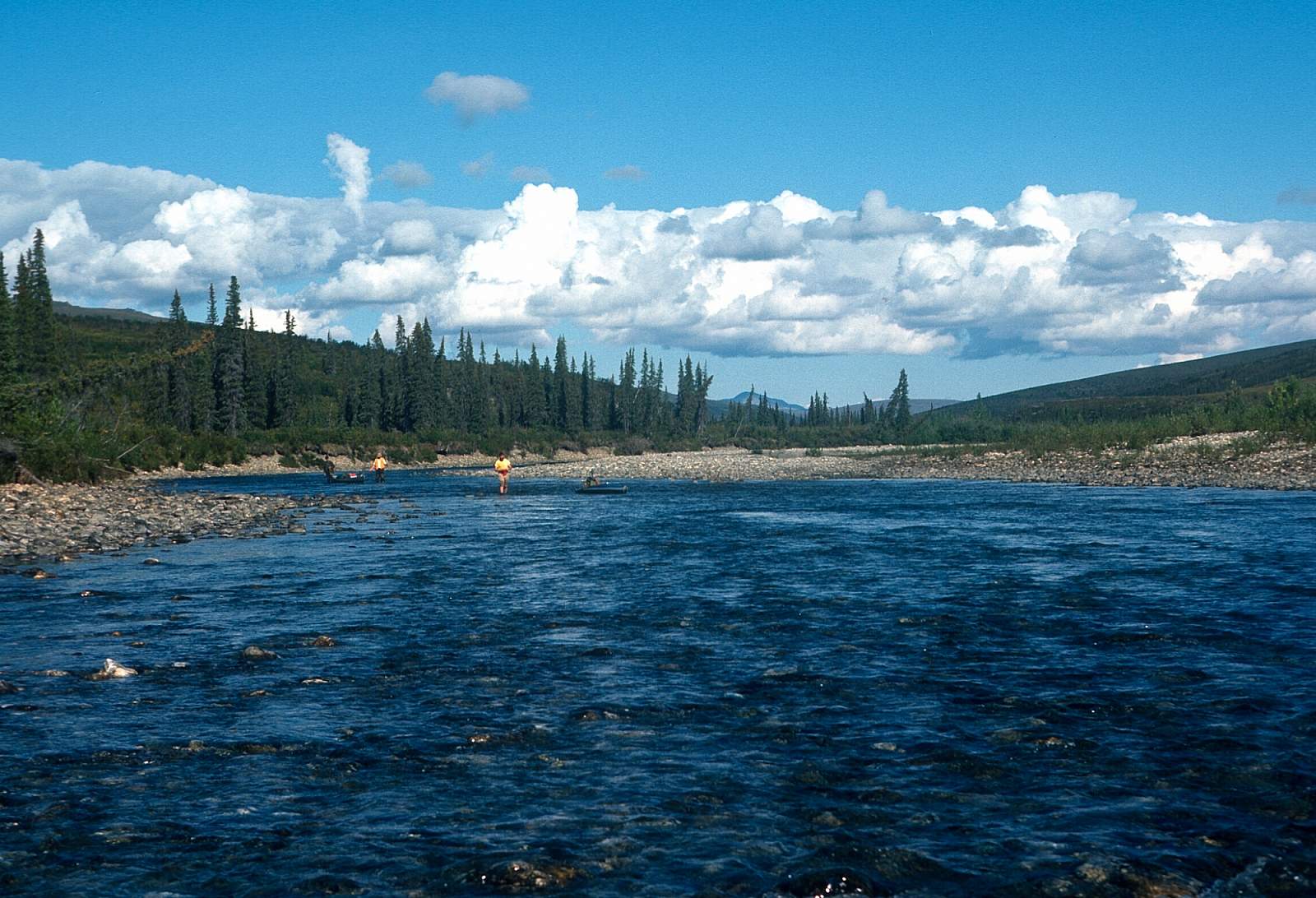
Put In at Anaktok-Sheep Creek Confluence to Nikok River: 20 miles
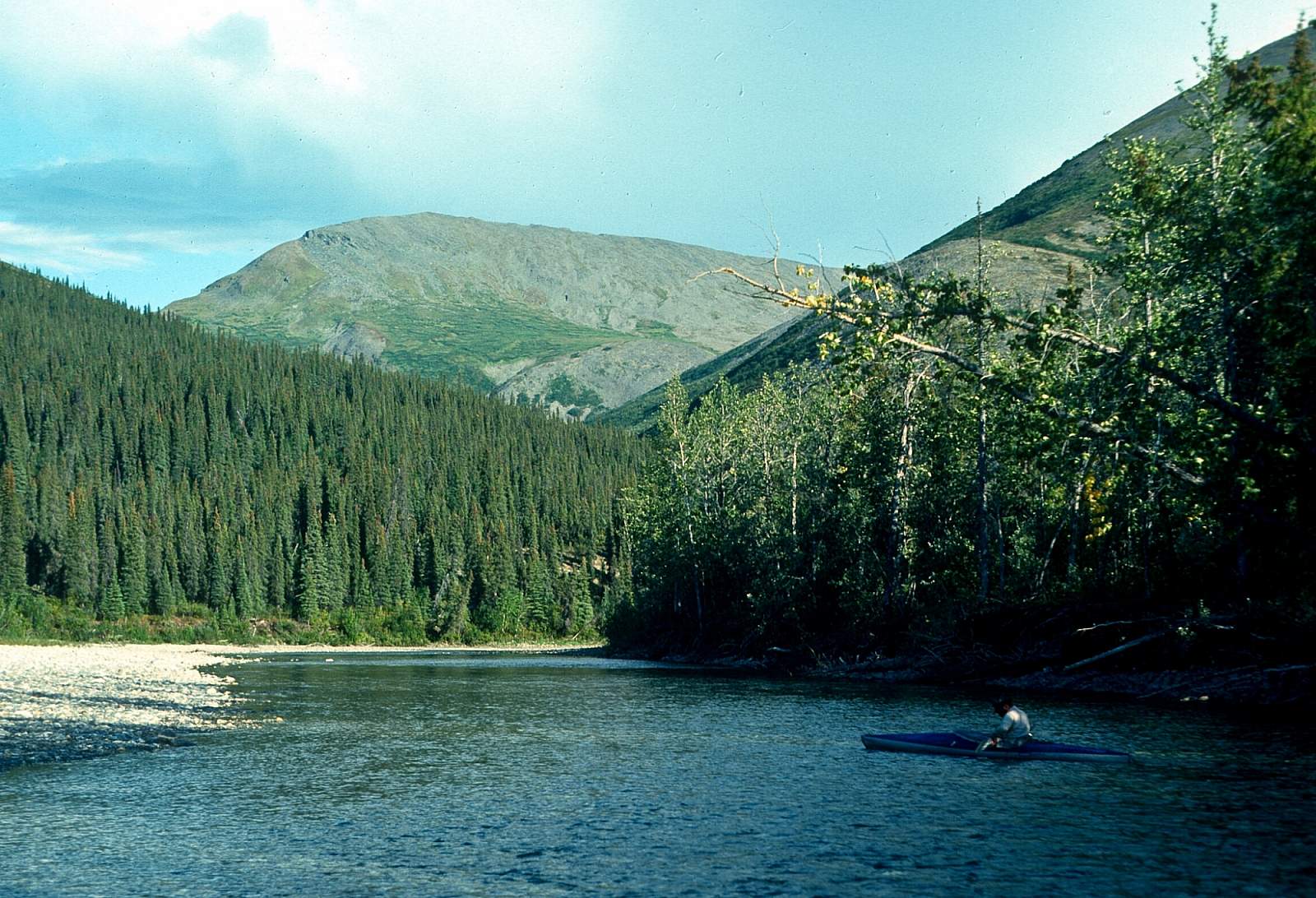
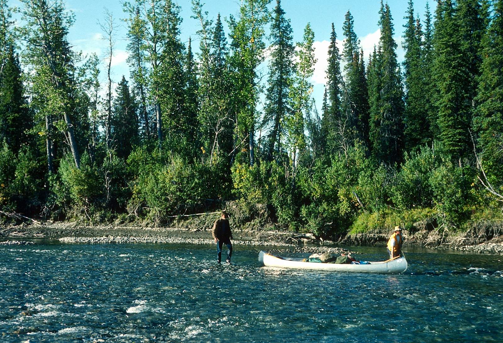
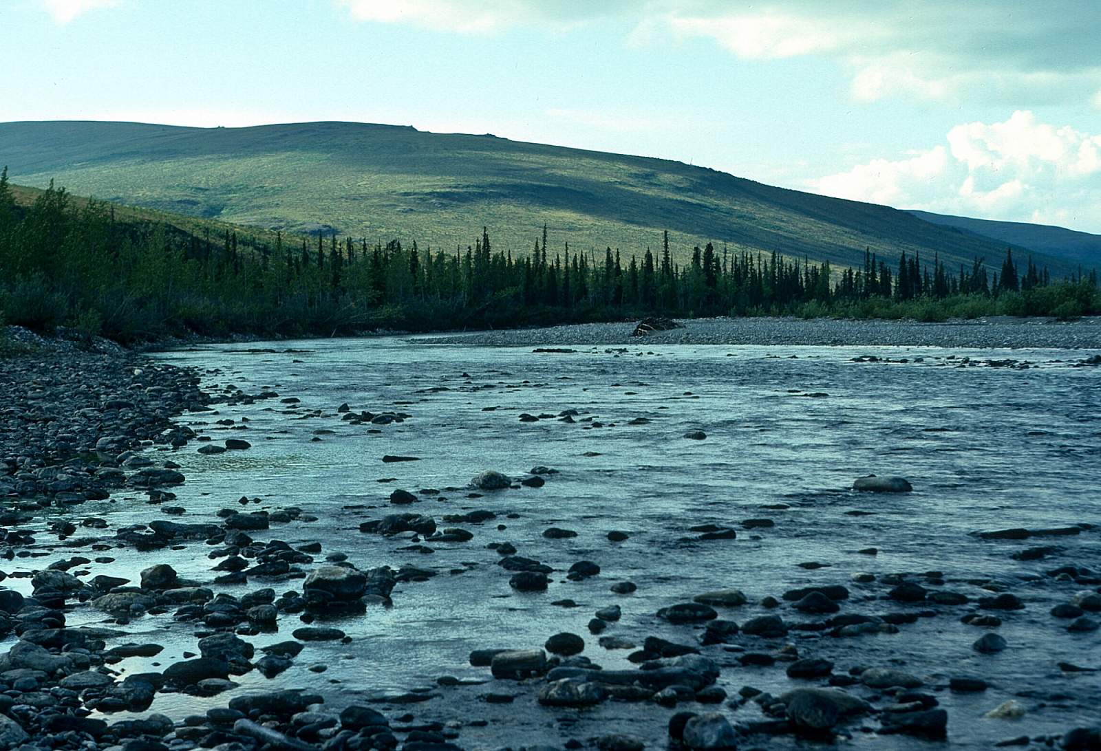
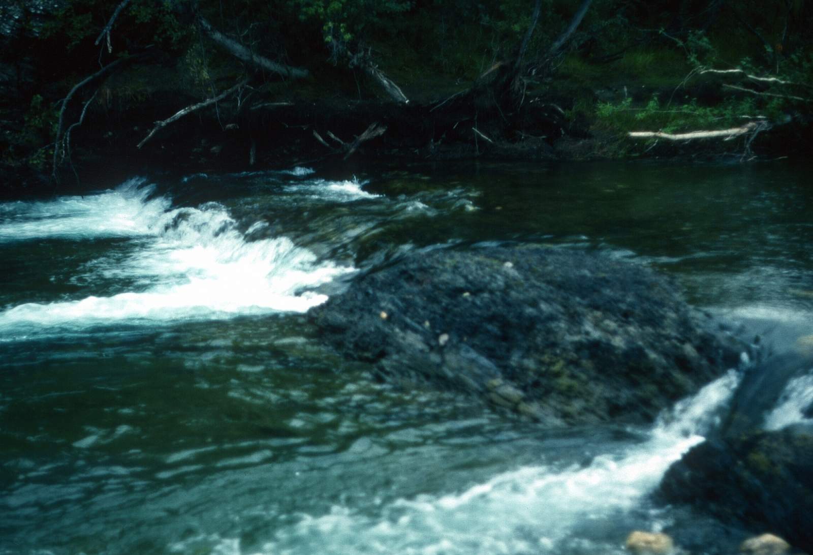
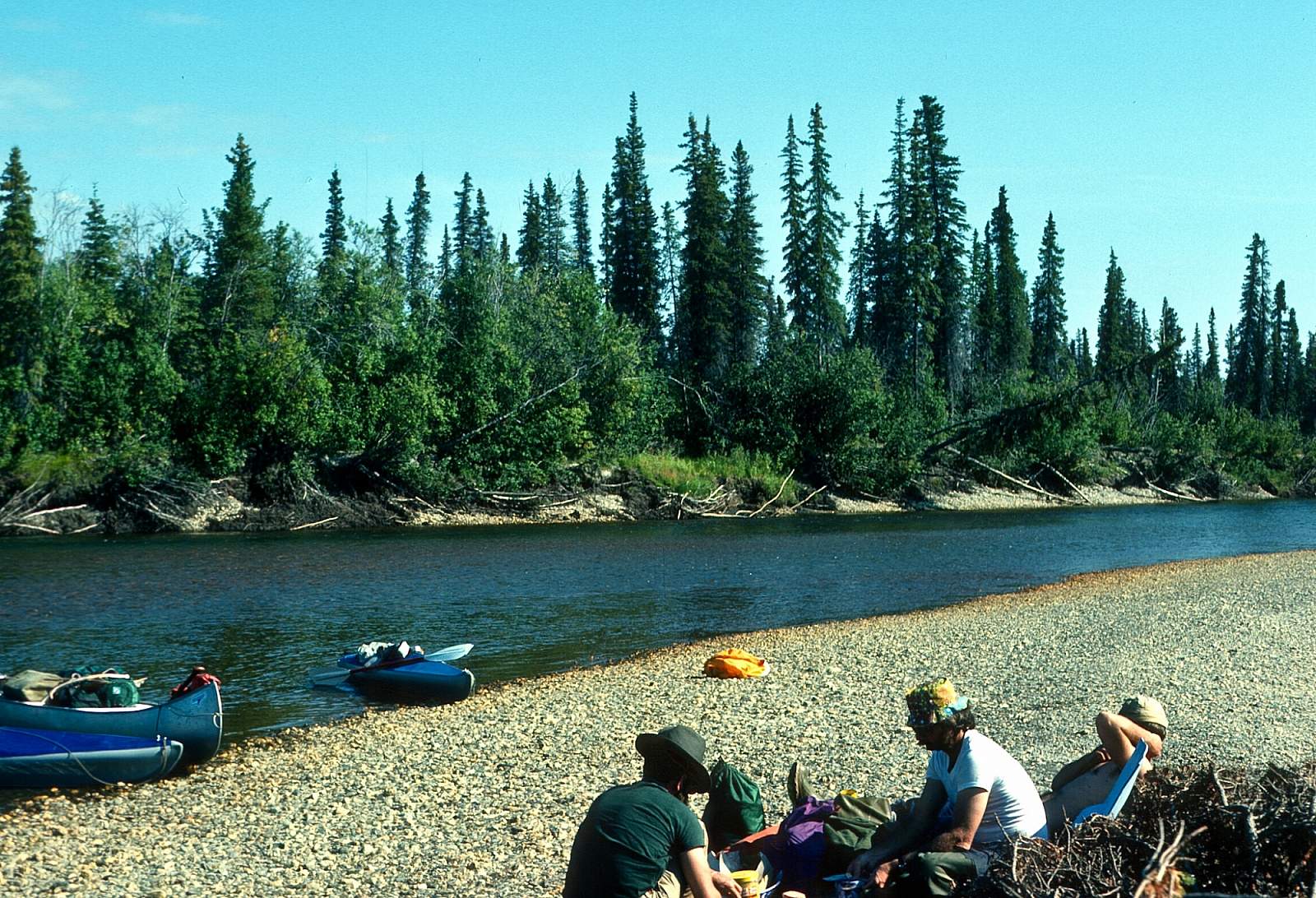
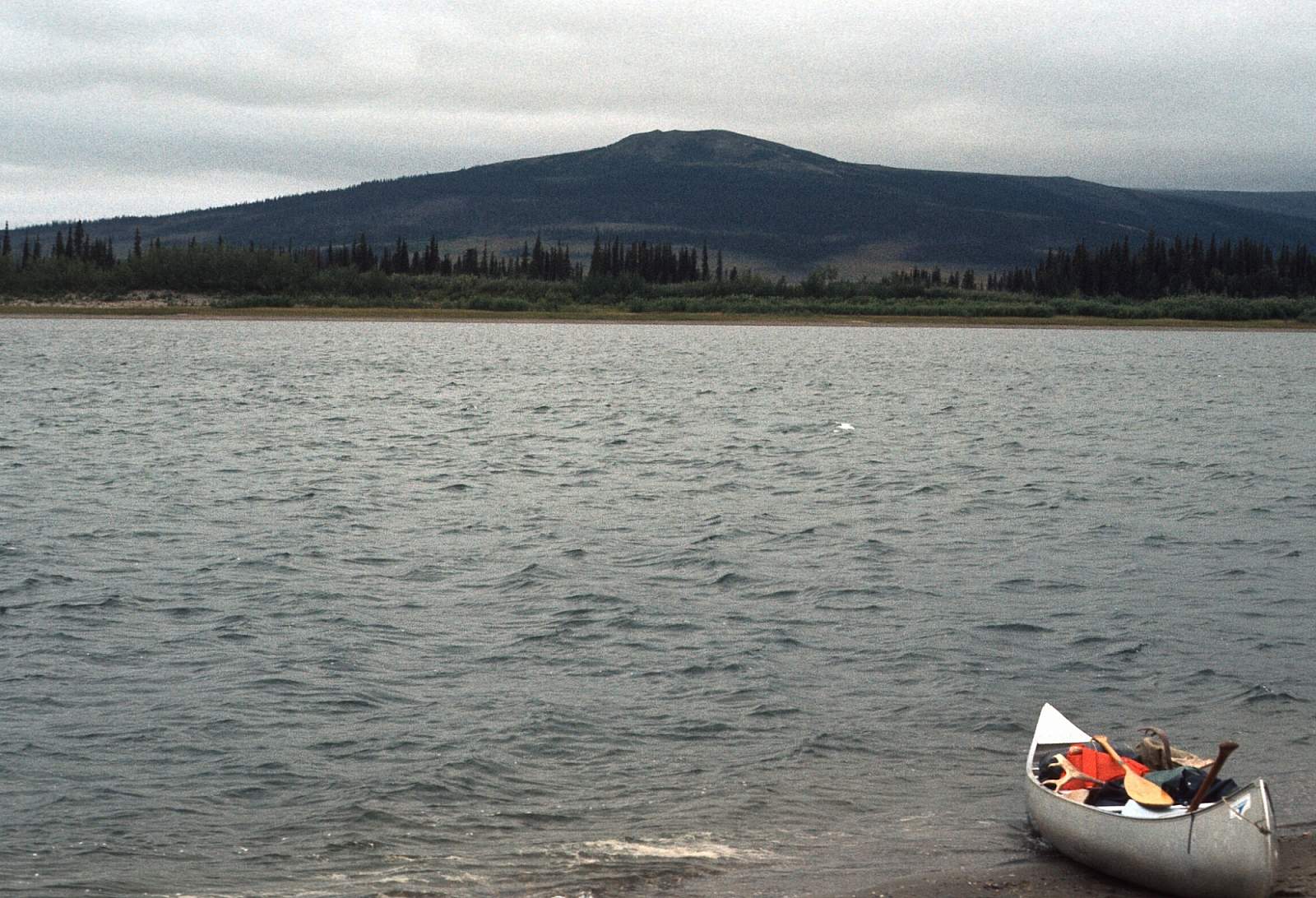
The water level and the pilot and his plane will determine the exact place where you can start. If you are in kayaks or folding canoes you have a much better chance of starting up high on the river as you can easily line or carry over the shallows that separate the pools. With a raft, however, you will find it more difficult to move downstream if it is low water. All along here there are rounded mountains that rise up from riverside and make for some great hikes up into the alpine tundra. All along here you will find short shallow pools, broken by extremely shallow, gravelly to stony riffles that drop 1 to 2 feet over several yards with only 2 to 4 inches of water over the rocks. The current in the pools is only 2 mph. The stream bed is mostly baseball to football-sized rocks with occasional schist bedrock outcroppings on the sides and bottom of the stream. Up and down river you might see evidence of much higher water levels. All along this section is good fishing for grayling, rainbows and arctic char. There are occasional sweepers and root wads to watch for, the further you go, the denser the trees along the shore become. There are some beautiful rock bluffs along the river in the region just above the Nikok confluence and a good char hole at the confluence. The hills and mountains become more distant as you continue downriver but the riverside bluffs make for interesting hiking and exploring. Mastodon tusks have been found along this section of river and be well advised to leave any artifacts or fossils in place, while notifying park service of the location.
Nikok River to Kitlik River Confluence: 18 miles
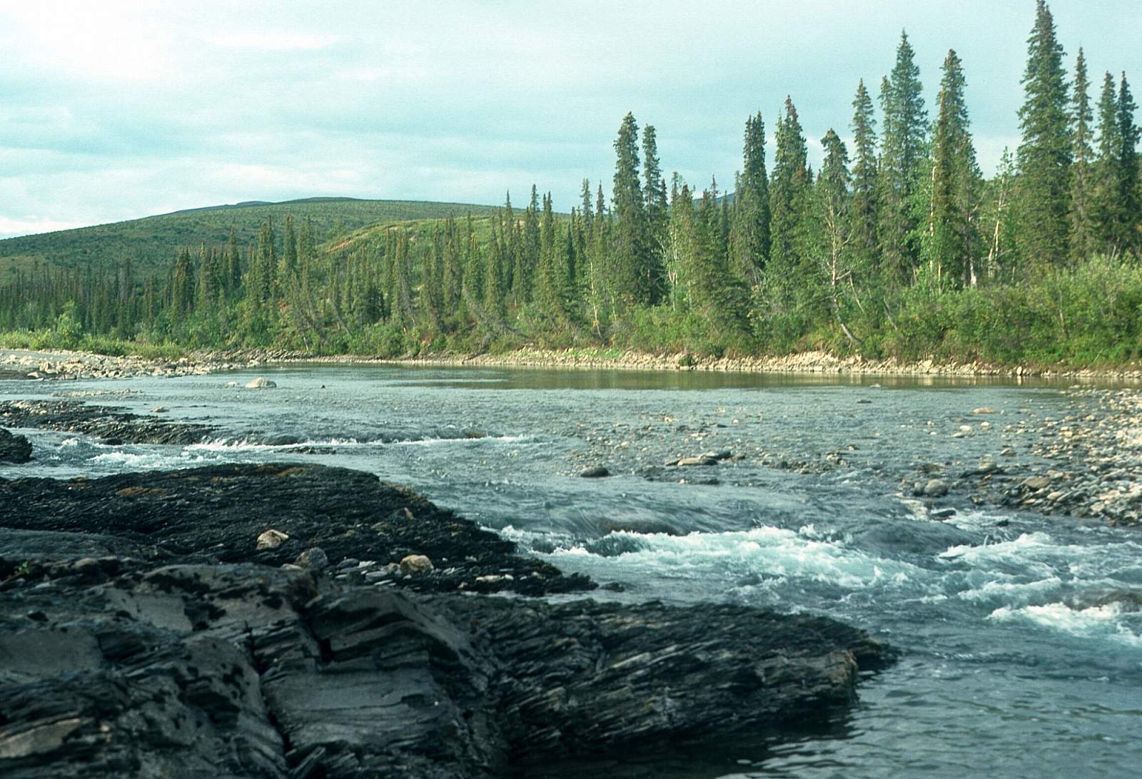
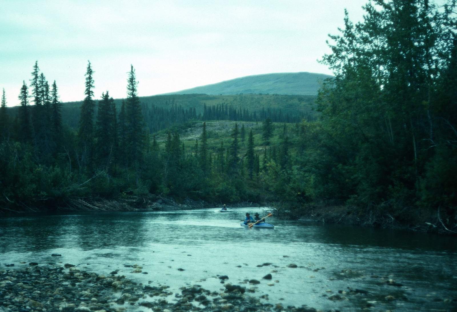
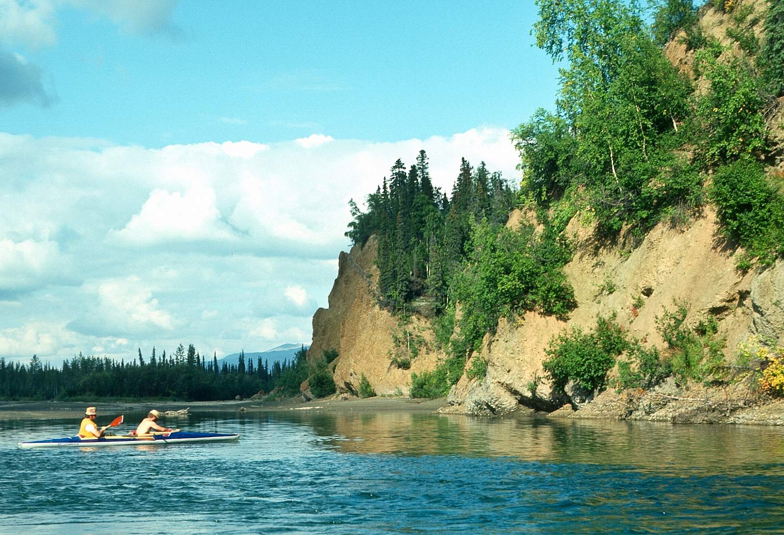
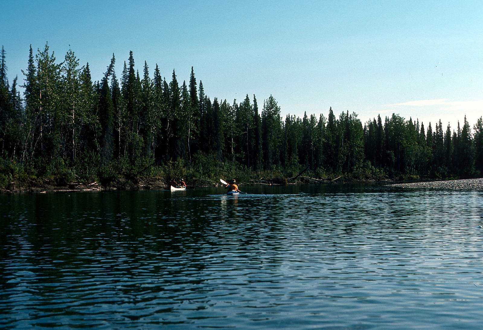
Below the Nikok, the river becomes more mature, with higher banks, slower current, longer, deeper pools, and not so much drop in riffles making it easier to float along here. The forest becomes quite thick along the riverbanks with heavy brush as you move away from the river corridor. There are more beautiful rock cliffs along the river, with some 50-60 feet high. Most are highly metamorphosed schist (with quartz) that are striated and tilted perpendicular to the river. There are also some sandstone and conglomerate bluffs along this stretch of river. There is a nice camp at the confluence with the Kitlik River and it is here that the forest begins to become dense and ancient. When first surveyed for the National Wild and Scenic River status 30 years ago, there were trees here that measured up to 5 feet in diameter, both poplars and white spruce.
Kitlik River to Kobuk River: 12 miles
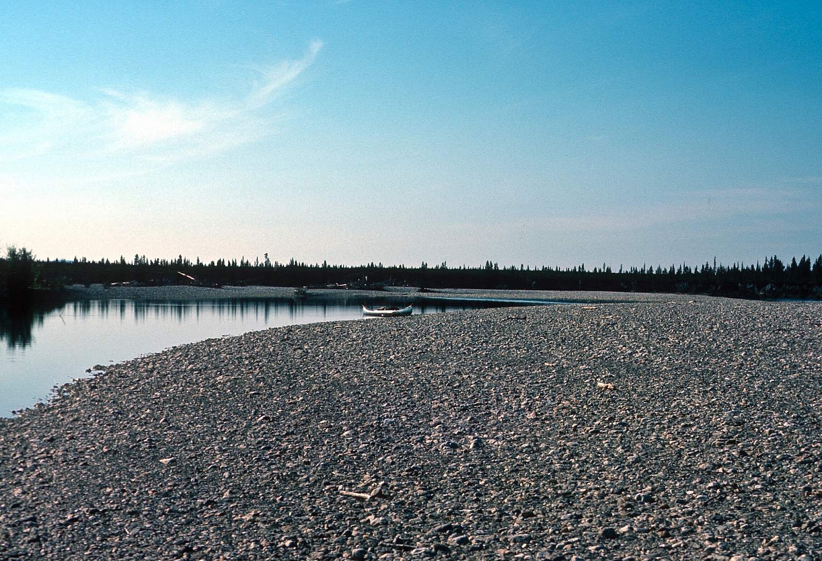
After 2 miles, the rock bluffs disappear and the river is hemmed by trees and shrubs along a high bank the rest of the way. There is usually plenty of water for floating at this point and there is an easy 5 mph current. The last 10 miles of Salmon are slow, 2 mph in most places. The banks are much higher, and there are no rocky bluffs along here. The water is usually clear all the way down to last tributary coming in from west where the river tinges reddish color from all the "tea colored water" coming out of the lowlands along here. There are still riffles to float over with the last one only yards from where the river ends when it joins the Kobuk River.
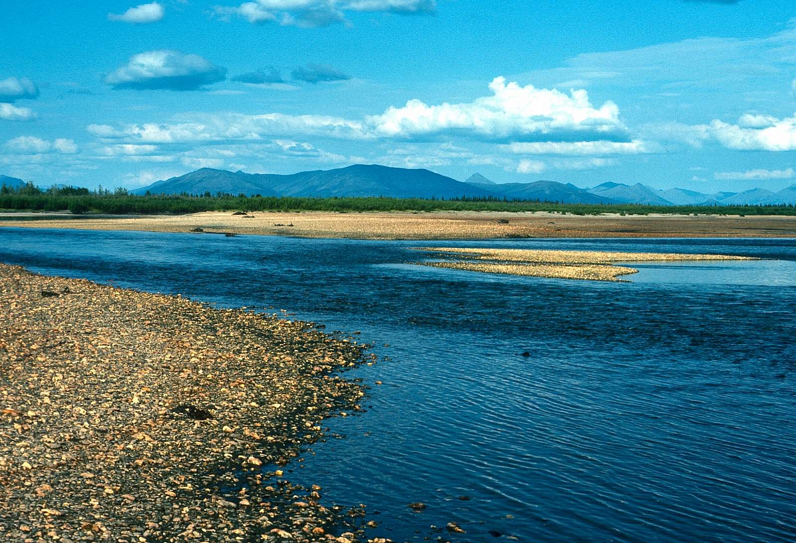
Kobuk River Confluence to Kiana or Noorvik: 48 or 73 miles
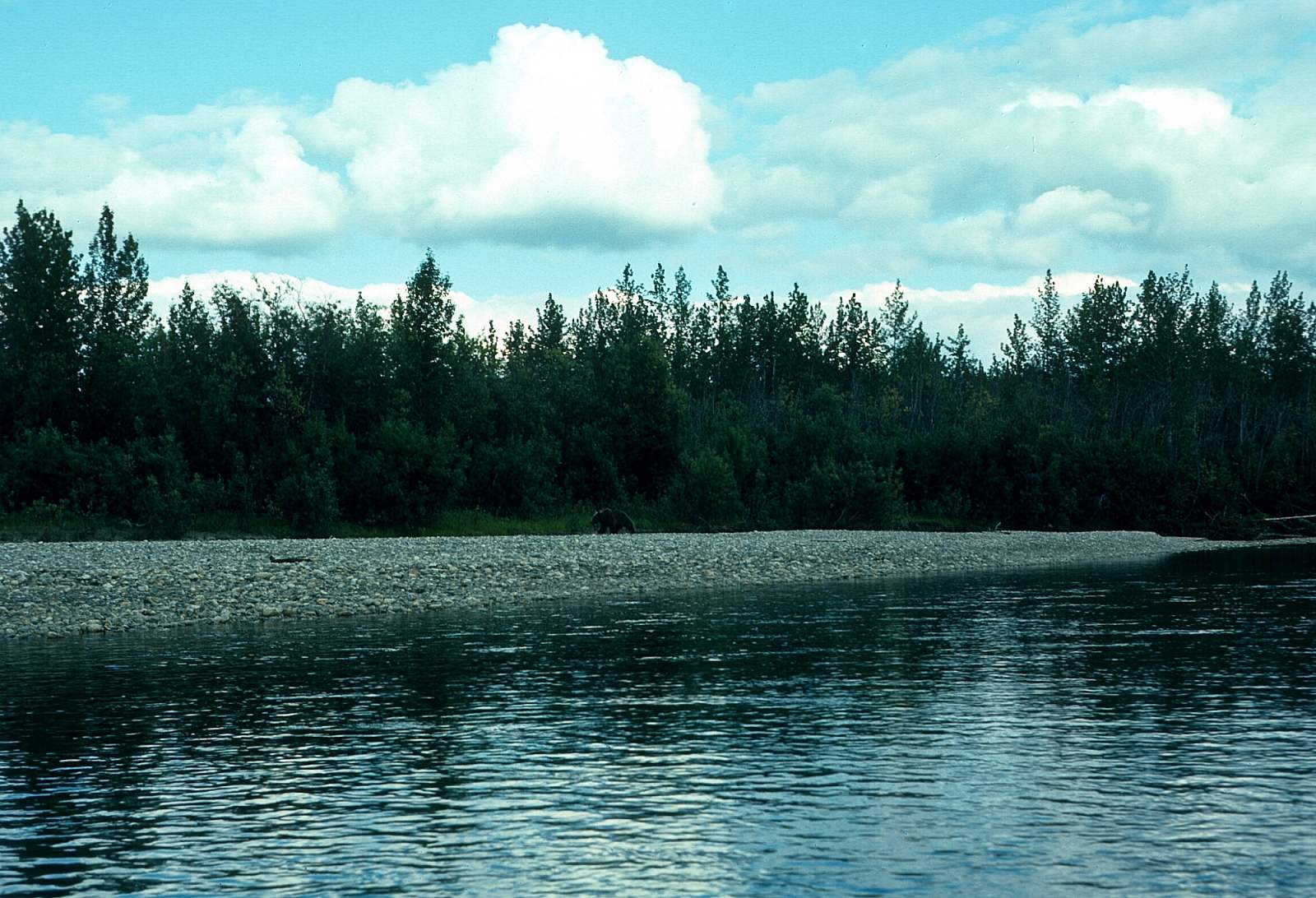
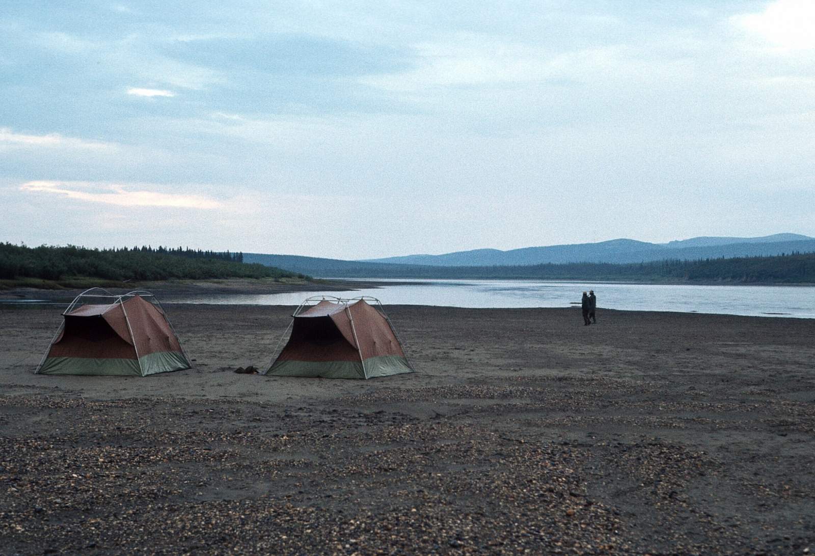
This section of river belongs to the locals and there will likely be boat traffic going up and down the river. There are usually fish camps during the peak salmon season but there are plenty of gravel bars for you to set up camp on that will not bother the local population. You should respect the local sites and leave them alone. Once out onto the Kobuk you will have sweeping vistas up and down the open river valley to the low surrounding mountains. After 20 miles or so you will leave the Kobuk River National Park and enter the Selawik National Wildlife Refuge. After 45 miles the Squirrel River confluence is seen on river right and this marks your spot to get along the right shore, as Kiana is only a couple miles further down. The airstrip is back away from the river but there are locals who will offer to help you move your gear to where it is. Check at the local store for assistance and offer to pay someone 20 bucks to use their 4-wheeler. To go on to Noorvik will take an extra 2 days of floating.
Other Advice
There are lots of mosquitos and no-see-ums on the lower river
GPS Coordinates
- Kiana: N 66 degrees and 58 minutes by W 160 degrees and 26 minutes
- Noorvik: N 66 degrees and 58 minutes by W 161 degrees and 03 minutes
USGS Maps
Baird Mountains A-1, A-2, B-2, C-2
Distance
50-100 miles
Days
6-10
Difficulty
Easy
Class
I
Craft
Canoe
Kayak
Raft
Cost
$$$