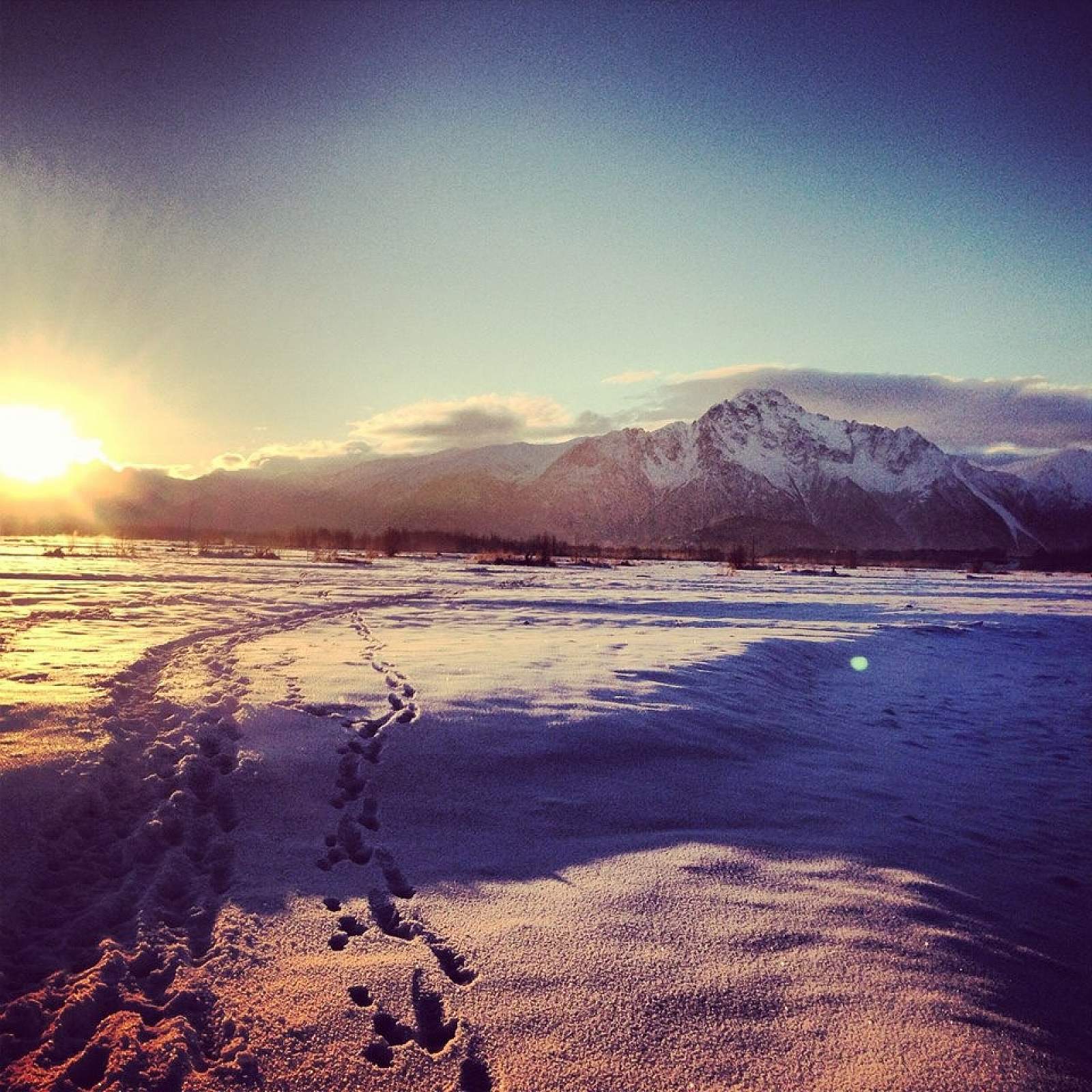
To access these scenic trails, pull off into the gravel parking lot then walk under the bridge, or take the bike path through the culvert tunnel. Then, head south towards Pioneer Peak, where you can explore the expansive gravel beds or meander along the mighty Matanuska-Susitna River. Or, head north under the old bridge, and link up with the Matsu River Park trails, located in the trees to the west. Heading either south or north offers gentle, easy terrain—perfect either for families with small children, or folks who just want a relaxing hike with magnificent views.
Matsu River Bridge Trails

Photos