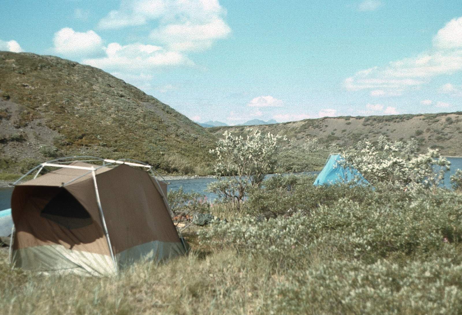
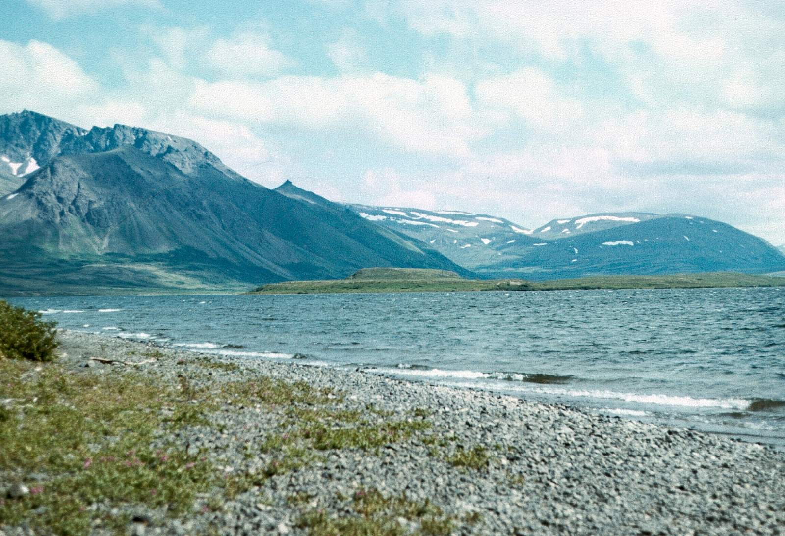
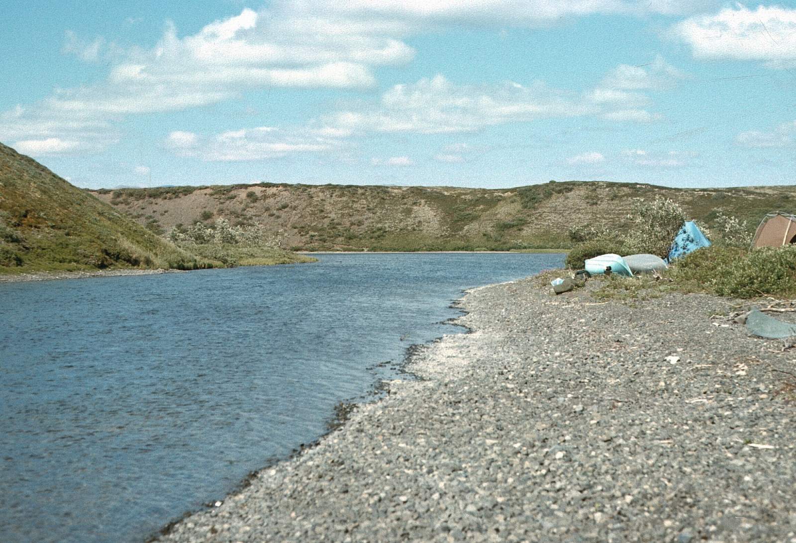
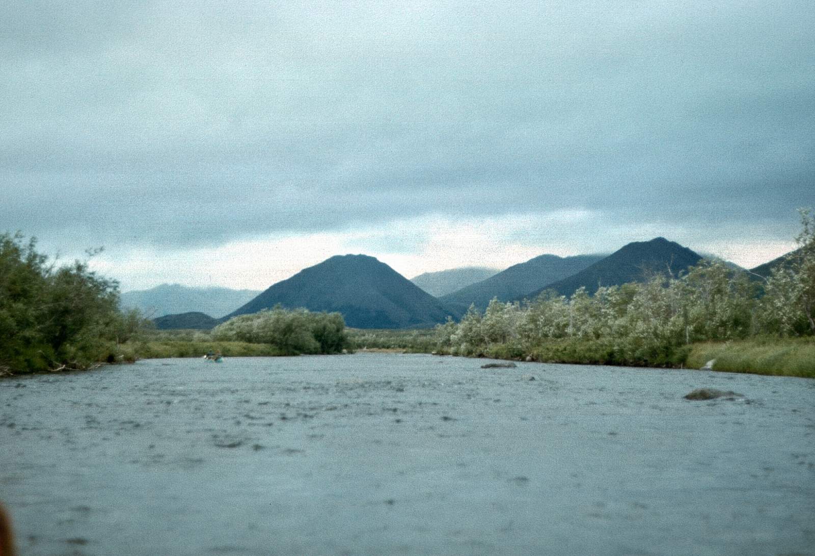
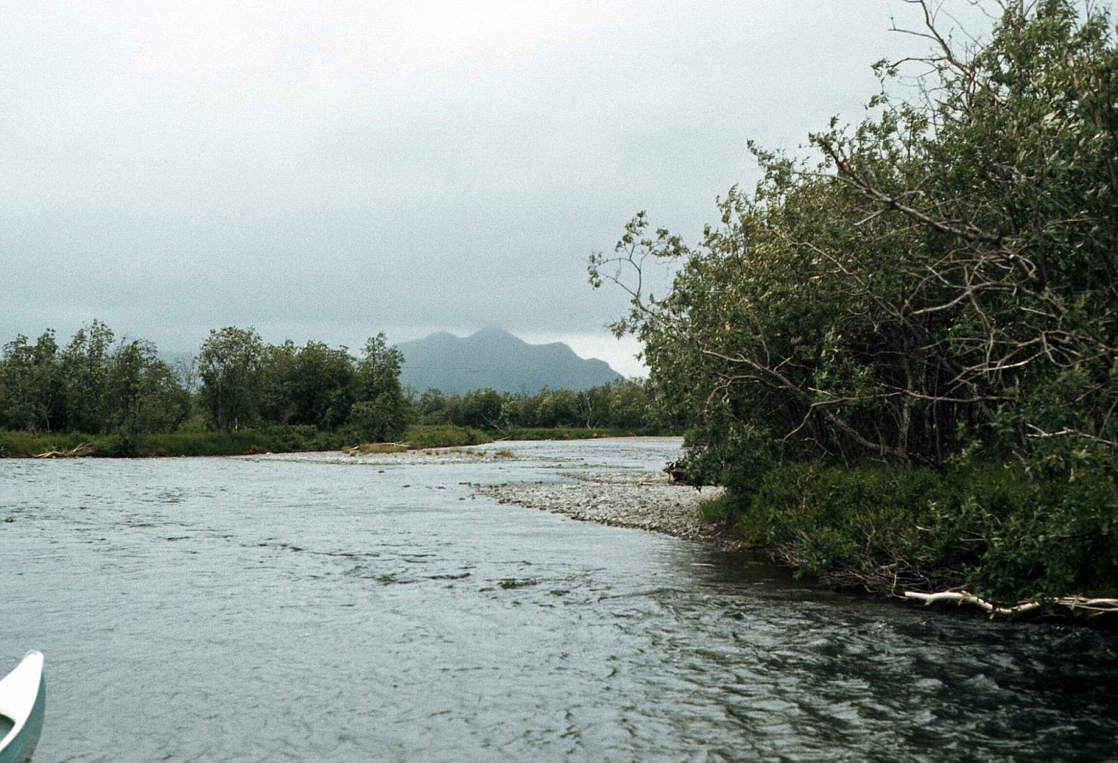
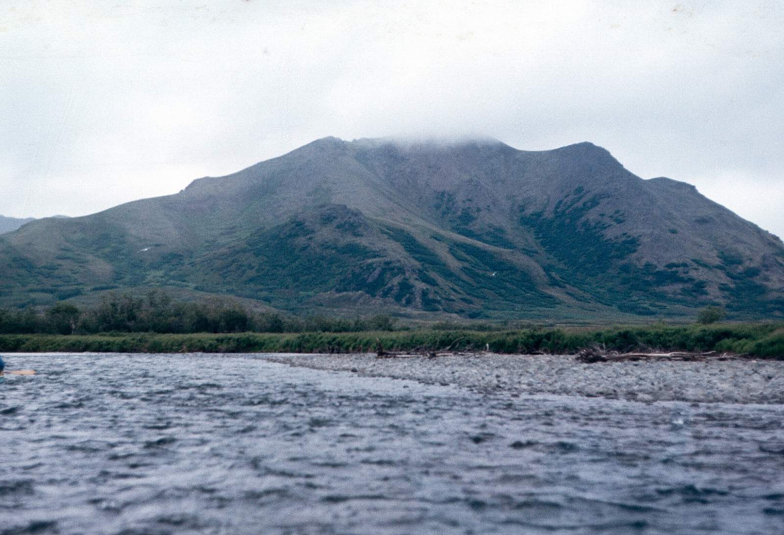
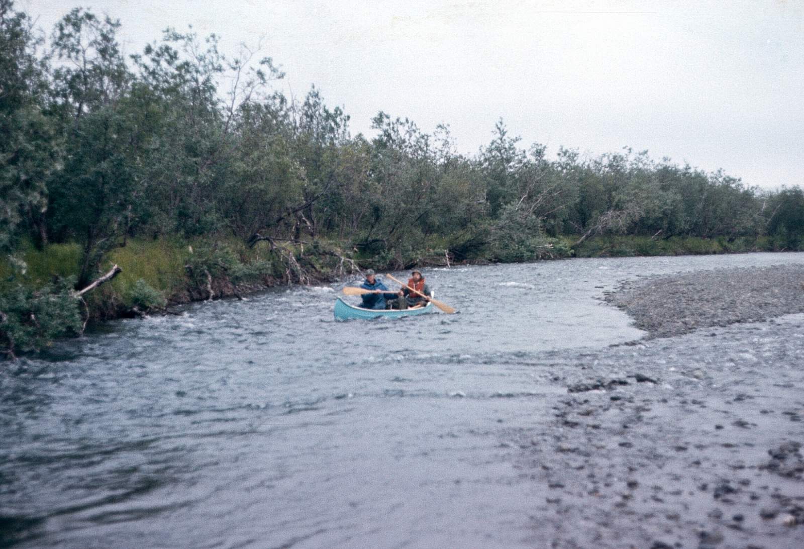
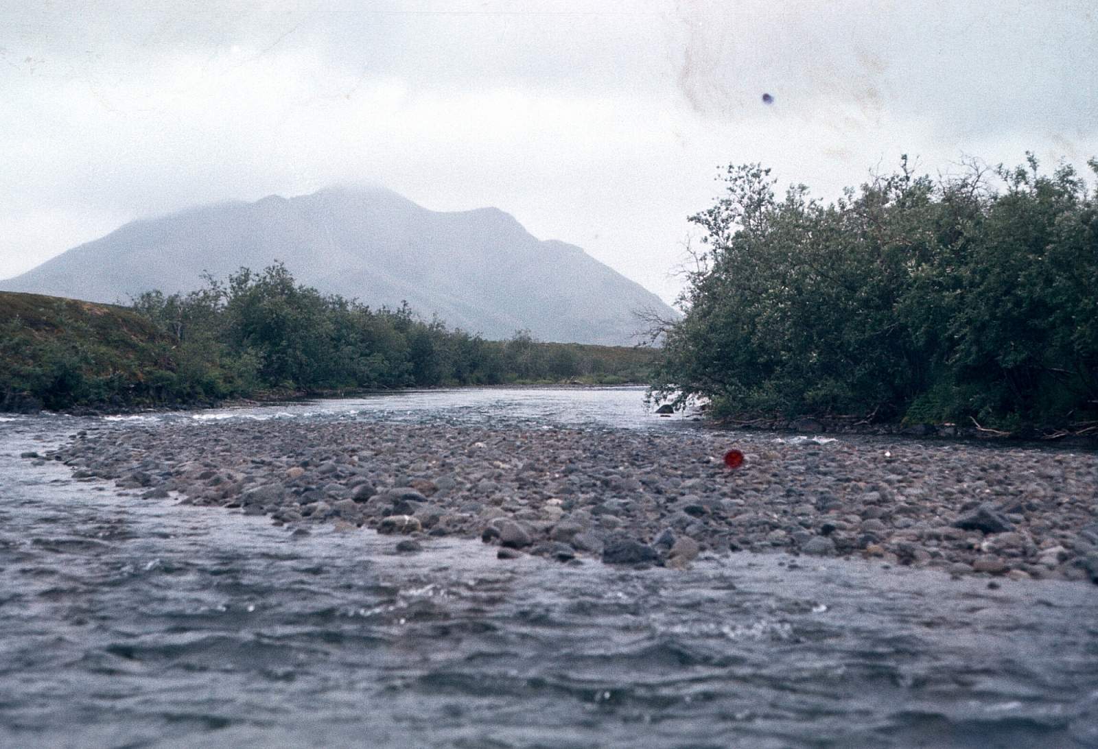
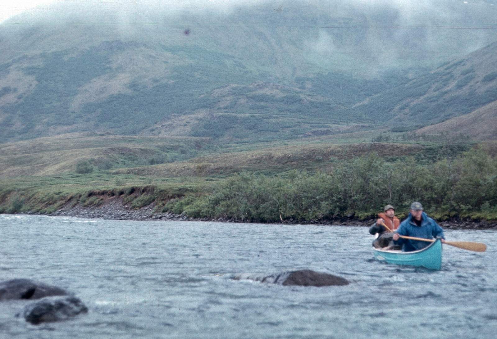
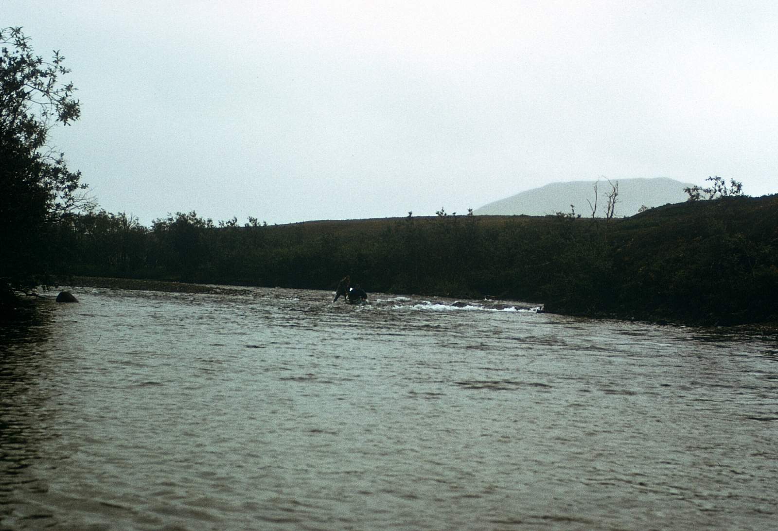
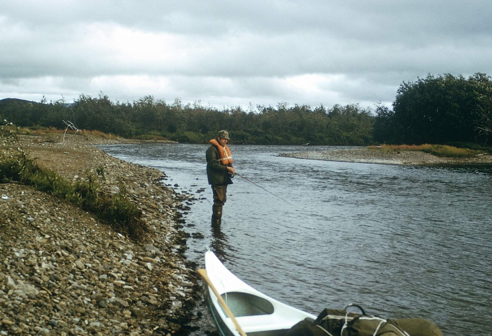
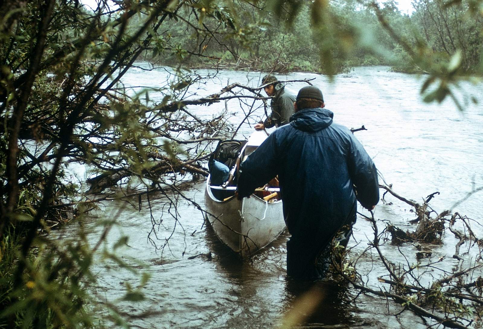
The Kanektok River is located in the Togiak National Wildlife Reserve of Southwest Alaska and flows westward 85 miles from Pegati Lake and into the Bering Sea at the city of Quinhagak. It starts in the scenic Ahklun Mountains then spills out across the Kuskokwim lowlands and is a fly fisherman's paradise. It is a world class fishing destination and sees quite a bit of fishing from lodges nearby and from fishing camps along the river. Motorboats are allowed and common from mid July to mid August. Its flow is only Class I and II with 15 feet per mile gradient and it is usually crystal clear with numerous sweepers creating the biggest hazard of the river. Allow 4 to 7 days for a trip. Avid fishermen and families who love fishing and camping will love this trip.
Put In
From Anchorage you can take a regularly scheduled flight to Dillingham or Bethel where you can charter a floatplane to take you to Pegati Lake for the put in.
Take Out
The take out is from the town of Quinhagak where there are regularly scheduled flights to Bethel and on to Anchorage.
The Trip
Pegati Lake to Eek Mountains: 25 miles
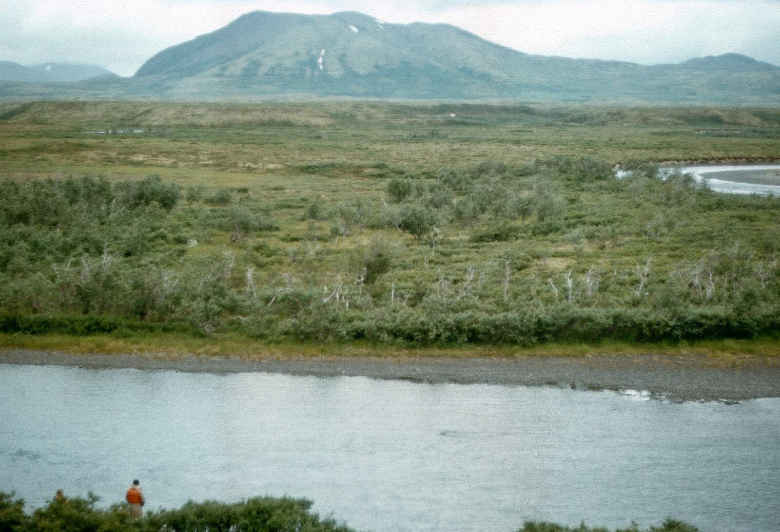
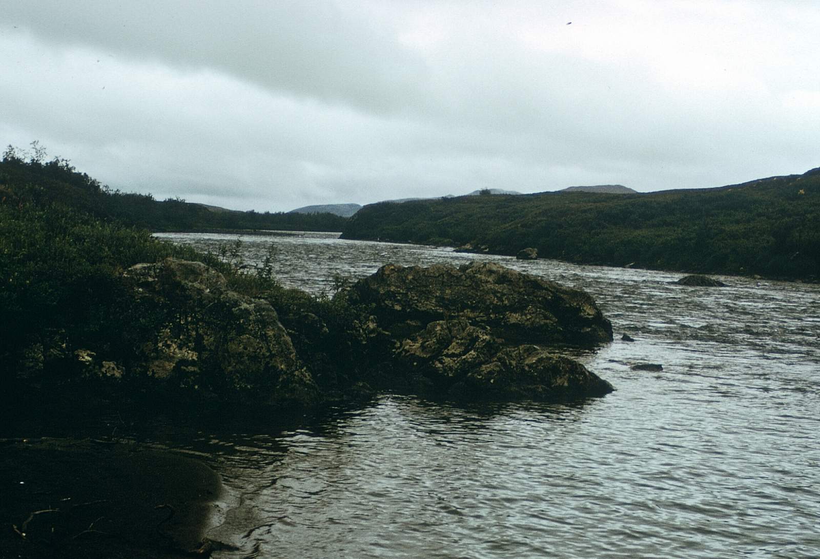
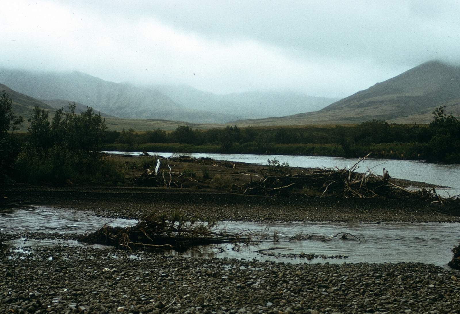
Pegati and Kagati Lakes look like a pair of pants from the air with Pegati Lake the left leg. The lake outlet is at the northwest end and is where planes likely land so you are close to the outlet. Winds can make it difficult to paddle the length of the lake. The river flows out leisurely in a north then northwest direction as it leaves the Ahklun Mountains behind. After a mile it begins three miles of winding turns going south and north and west until it settles into a mostly westerly course with Tiokpik Mountain straight ahead. The long low ridge at its base beckons the hiker. Rising to 3500 feet, the Eek Mountains form the barrier that turns the river south where tighter turns and swifter current make for some Class II paddling. Behind the low ridge at Tiokpik Mountian's base is the Paiyun Creek mouth and the river soon turns south and then west to emerge out into a broader valley and for 5 miles flows west, joining Kanucktik Creek and then passing along the base of the Eek Mountains where it begins a southwest course. The valley to the right is the Nukailingak Creek at GPS N 59.85 degrees by 160.69 degrees and is a pass over to the Eek River.
Eeek Mountains to Quickumguila: 30 miles
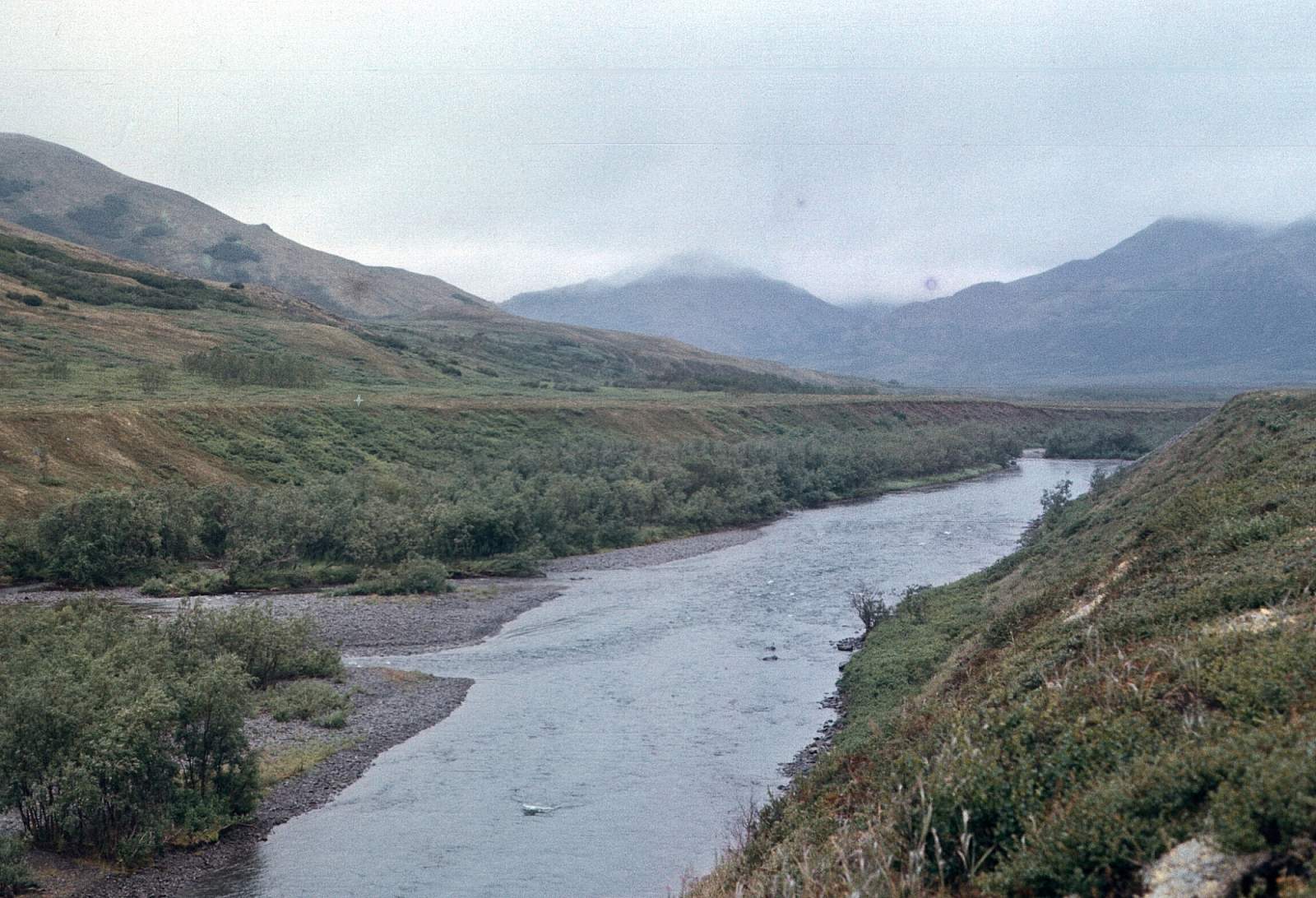
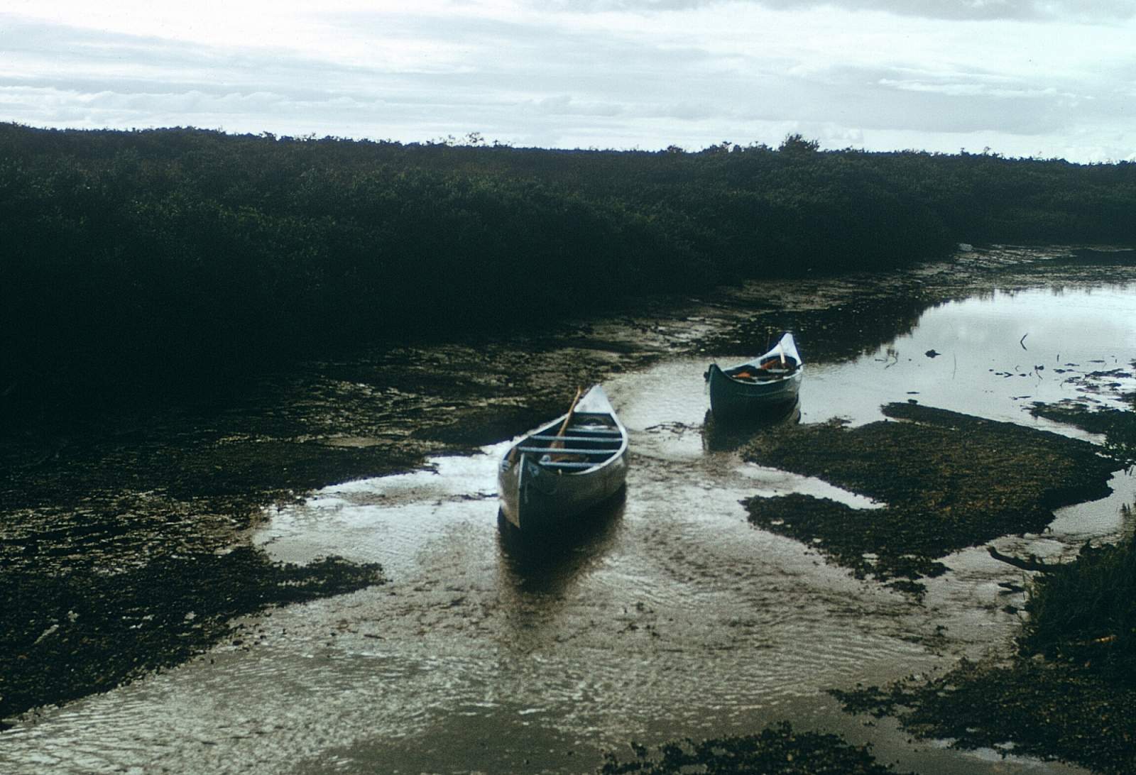
From Nukailingak the river runs more southwesterly now and for 5 miles begins to exit the Ahklun Mountains where it will turn to the northwest to merge with all the streams on river right that become Quickumguila Creek at about N 59.77 degrees by W 161.07 degrees. The Kanektok runs an unusually straight section here for almost a mile and then begins braiding wildly.
Quickumguila to Quinhagak: 30 miles
This is a long westerly flowing section of Class I river. The current is only 2 mph and the waters are still teeming with fish. All 5 salmon species, with char, trout and grayling make this a great fishing trip. There are many island, gravel bars that make good campsites until the last 10 miles or so. The river becomes a maze of sloughs and oxbows through here. The Quinhagak airport is 1.5 miles upriver of the town right along the river at GPS N 59.75 degrees by W 161.88 degrees. The river runs along the base of the airstrip for a bit before you pull over to the left side at the dock area.
USGS Maps
Goodnews Bay C-5, C-6, D-3, D-4, D-5, D-6, D-7, D-8
Distance
85 miles
Days
4-7
Difficulty
Easy
Class
I, II
Craft
Canoe
Kayak
Raft
Cost
$$$