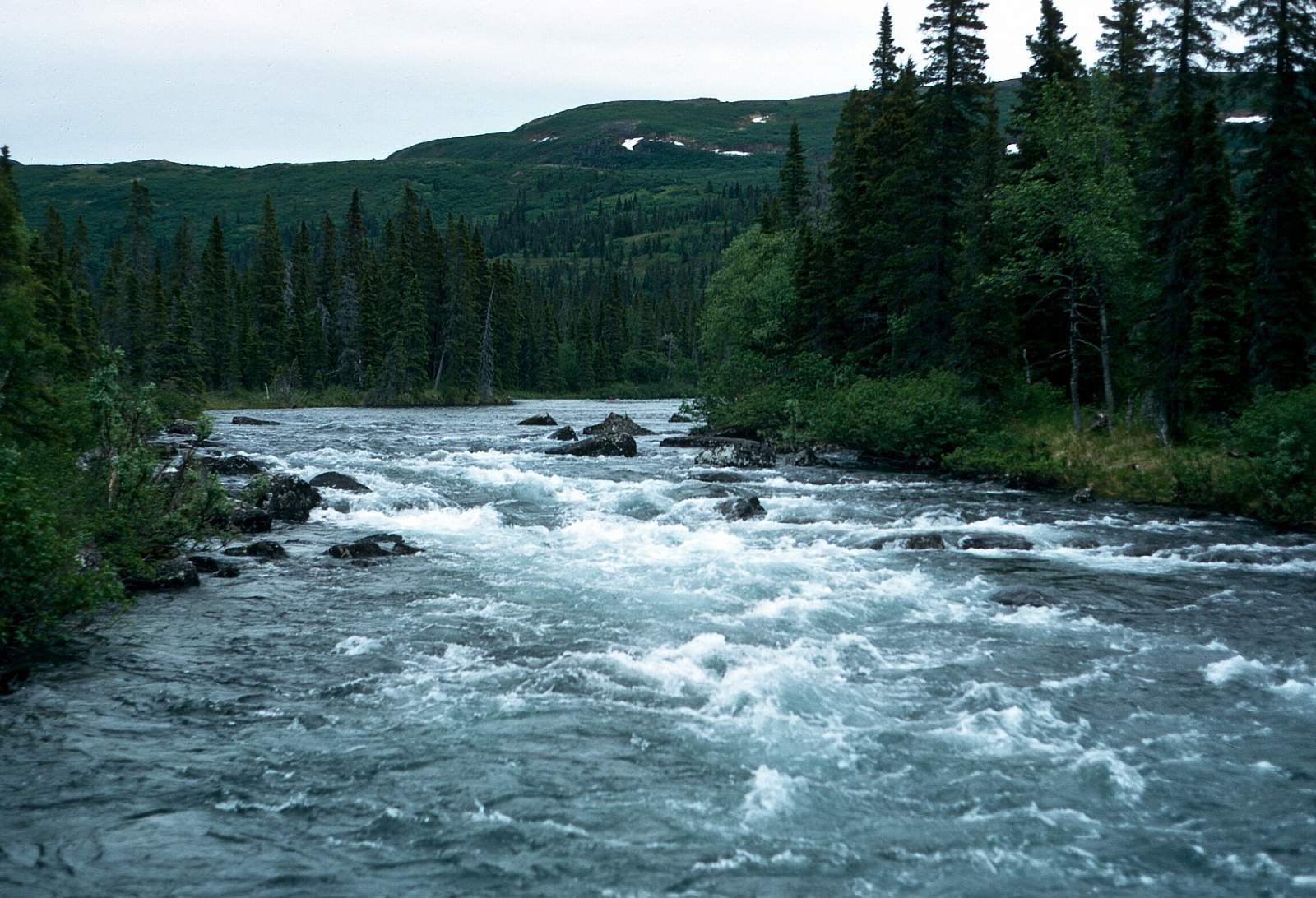
A major tributary of the Yukon River, the Fortymile is a clear water stream that has 6 main forks flowing east of the Mertie Mountains and north of the Tanana State Forest area, out of the Yukon-Tanana Uplands, not far south of the Arctic Circle. To the west of the Mertie Mountains is the Charley River and the mountain ridgeline is the boundary for the Yukon-Charley Rivers National Preserve to the west. Both the Charley and the Fortymile are in the federal Wild and Scenic Rivers category and run clear and warm with Class I to IV rapids.
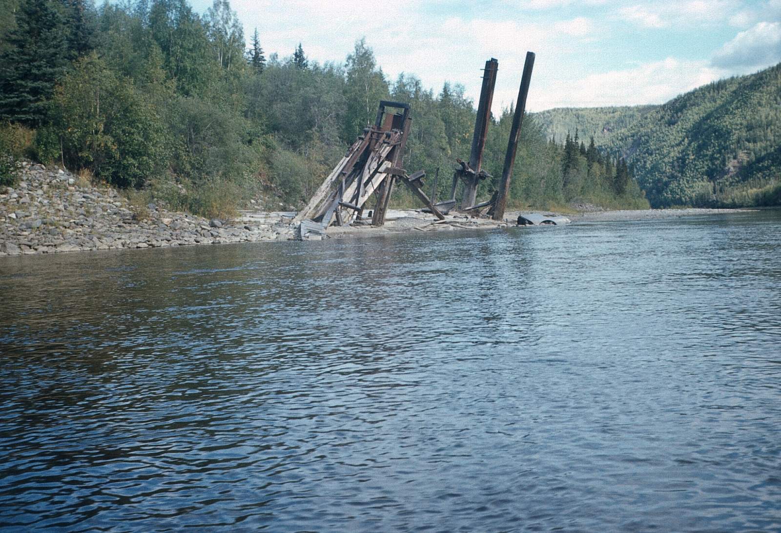
The Fortymile is especially noted for its twisting and tortuous route through the rugged mountain forest landscape that can be really difficult to keep track of on a map. But keep track you must, as there are many blind turns and at least 2 Class IV rapids. One is on the North Fork at The Kink and the other is below the highway and in Canada at Canyon Rapids. The Taylor Highway has 5 access spots to the West Fork, Mosquito Fork and the South Fork rivers where it crosses them. The Taylor also goes all the way to Eagle for the ones who go all the way! So the trip options are very many. There are 2 to 5 day trip options with road access on the West Fork to South Fork section. The other set of options relates to running the Middle and North Forks but you have to fly in for this. Obviously the more remote and pristine option is the Middle Fork to the North Fork starting at a gravel airstrip at Joseph while the West and Mosquito Forks run through many mining claims. This region has long seen the Athapaskan Indian culture flourish here, which was followed by a more modern mining boom. Most of the length of the West Fork to the South Fork and on into Canada is heavily mined. Only the Middle and North Fork section sees less activity of any kind.
Put In
To get to Fortymile country you can drive to the South Fork and on to the town of Eagle on the Taylor Highway, which leaves the Alcan Highway outside of Tok and goes all the way to Dawson Yukon Territory. Or you can fly into the Middle and North Fork country in a small plane out of Tok, Alaska. The road to Eagle travels right down the rugged Fortymile River, then up O’Brien Creek to the town of Eagle. By driving you have 4 chances to start where the road crosses the river. The first opportunity is at the West Fork Bridge at mile 49.3. The road next crosses the Mosquito Fork at mile 64.3. The West Fork joins the Dennison Fork below the East Fork where it meets the Mosquito Fork and it then becomes the South Fork. There is even the Walker Fork where there is a campground at the bridge area.
From the West Fork Bridge you can do a 4 to 5 day 75-mile run to the Obrien Creek Bridge at mile 112.4, with only up to Class III rapids.
From the Mosquito Fork Bridge you can do a 3 to 4 day, 50-mile run to Obrien Creek Bridge at mile 112.4 but high water is needed to get you down the Mosquito Fork. This is also only a Class II to III section through the main mining district of Chicken. You could continue from either start past the Obrien Creek confluence and commit to going all the way down the Fortymile, through the Class IV Canyon Rapids to the Yukon and on down it to Eagle to end your trip.
From O'Brien Creek to Eagle is another 90 miles and could be a trip of its own, with over half of it on the Yukon River. Maybe you can hitch a ride on a sternwheeler bringing tourists down from Dawson!
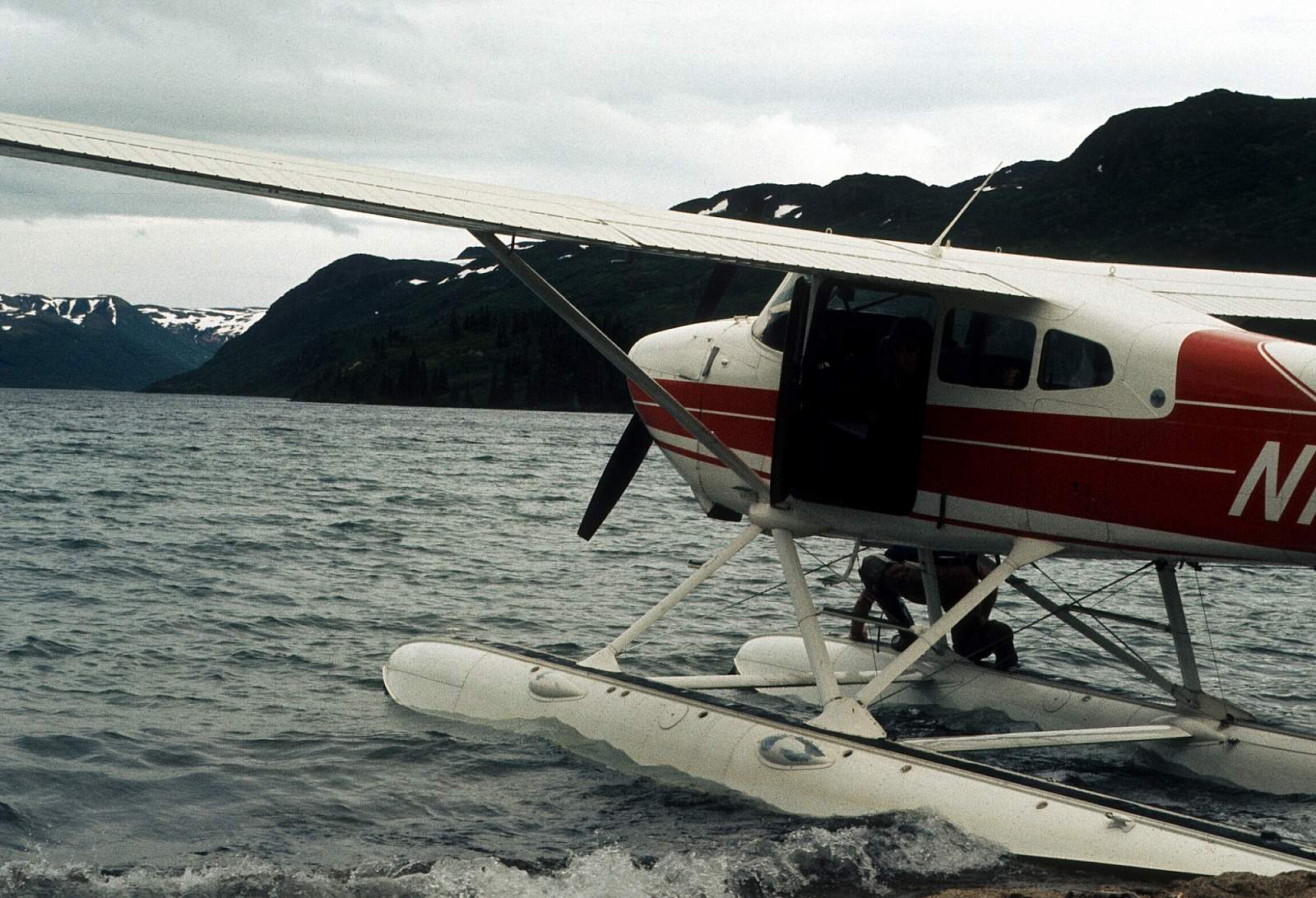
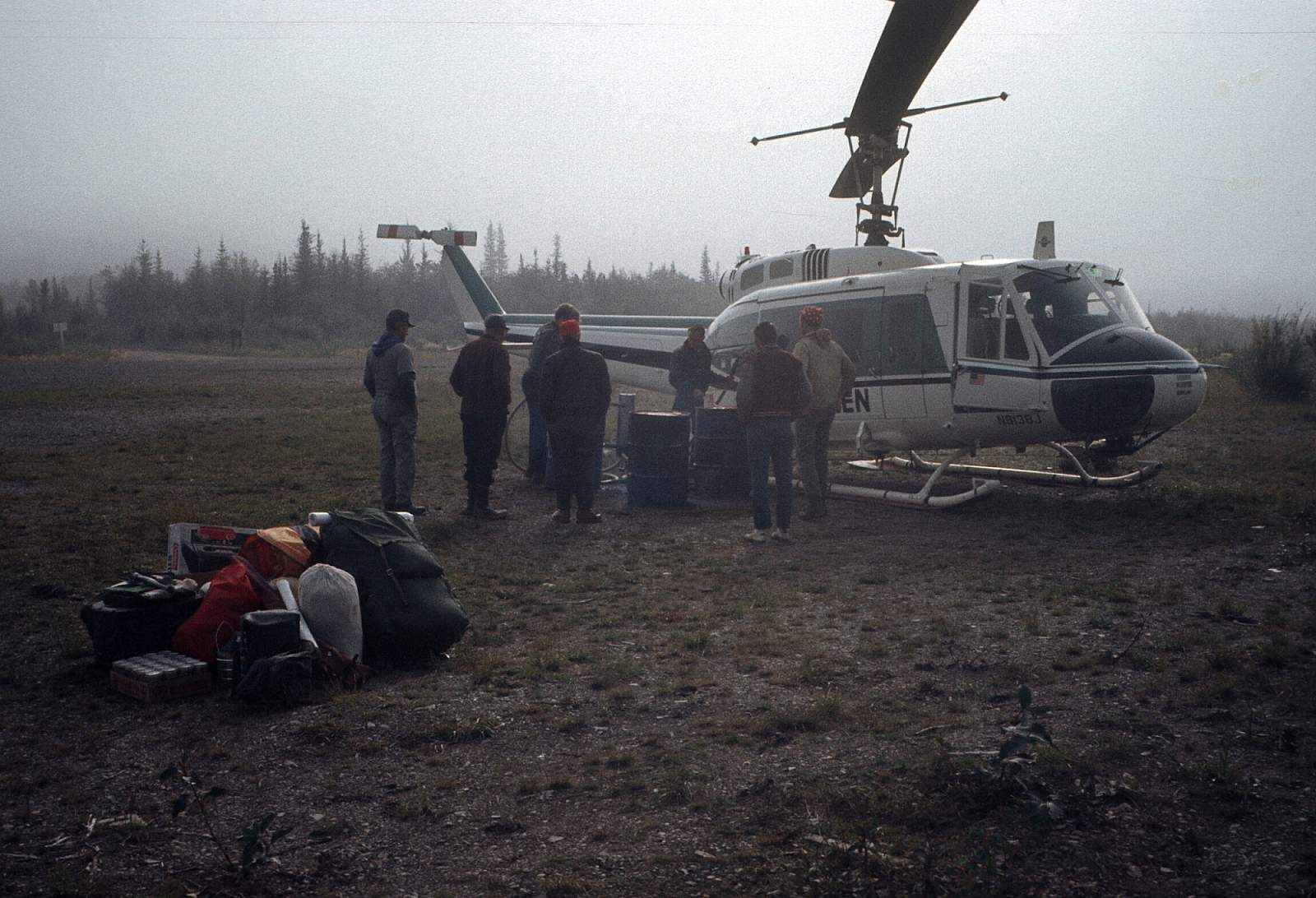
To get to the Middle Fork you will need to charter a plane out of Tok, Alaska to take you to the rough, bumpy strip at Joseph. From the east end of the strip there is a short trail leading to the river. The river will lead you to the confluence with the North Fork, one of the most dramatic spots along the way and on to the South Fork confluence where it finally drops all the Forks and becomes the Fortymile River.
Take Out
The take outs are just as complicated but by car you can get to the South Fork Bridge, the O'Brien Creek Bridge and Eagle for a take out or put in. There are boat ramps and a few campgrounds at them. From the Middle Fork start at Joseph, Obrien Creek is the first opportunity to take out and is 90 miles from the Joseph strip. Add another 90 miles to Eagle and you have 180-mile fly in, drive out trip.
From the Mosquito and West Fork you have the South Fork Bridge and O'Brien Creek Bridge or Eagle as your take out options. From the West Fork Bridge to the O'Brien Creek Bridge is 75 miles and to the South Fork Bridge is 24 miles. From Mosquito Fork to the South Fork is 10 miles and to O'Brien Creek 72 miles and is a 4 to 5 day run. Beyond O'Brien Creek is another 90 miles to Eagle.
The Trip
The Middle Fork/North Fork to O’Brien Creek Bridge: 90 miles, allow 6 to 10 days
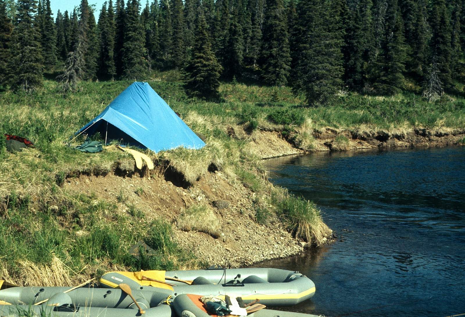
To get to Joseph at N 64.37 degrees by W 143.1 degrees, you will need to fly from Tok. 40 miles Air Service is known to go there. Joseph Creek joins the Middle Fork here in a small valley with dense scrub bush. The river may be shallow for quite awhile depending on the time of year and rainfall, etc. Running due east it moves out of the Mertie Mountains into rugged low mountain landscape. Within a mile of the Joseph strip the river pushes up against the left side mountain. There is a good hike up here. Soon it flows a little to the north, then due north at Fish Creek. Soon it turns east again and, after many tributaries, the water moves swiftly and where it approaches the beginning of the North Fork rapids. There are some nice beaches and gravel bars for camping just before Pittsburg Creek down to Portage Creek. Just above the confluence with the North Fork is Bald Eagle Rapids a Class III stretch at N 64.47 degrees by W 142.32 degrees. It is after a big U-bend turn and just above the confluence where there is a large rock midstream. You can go to either side of the rock. There are several high hilltops to hike to right at the confluence. The confluence is actually hidden by these hilly winding turns till you are right at it. This is one of the more dramatic spots of the trip.
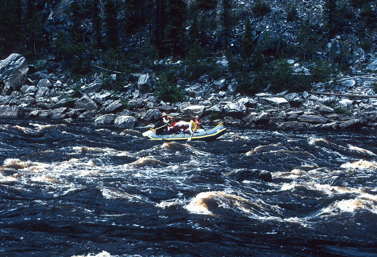
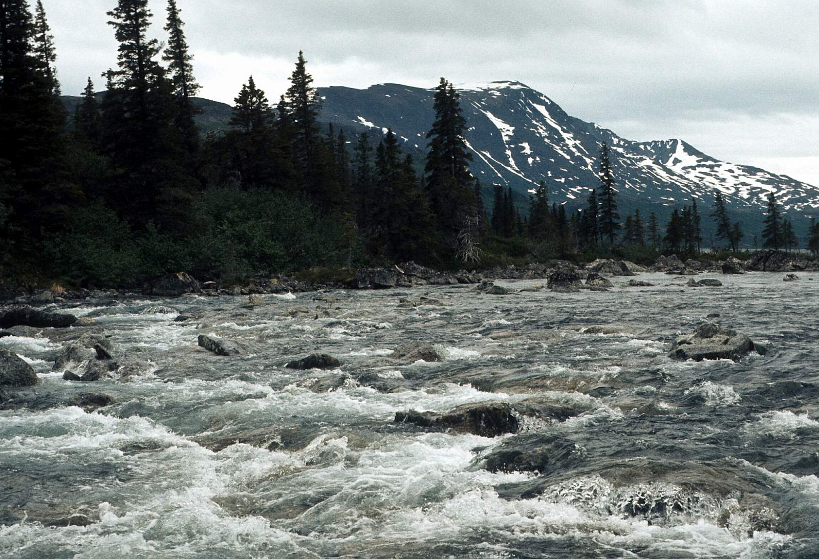
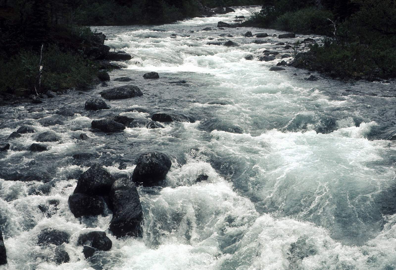
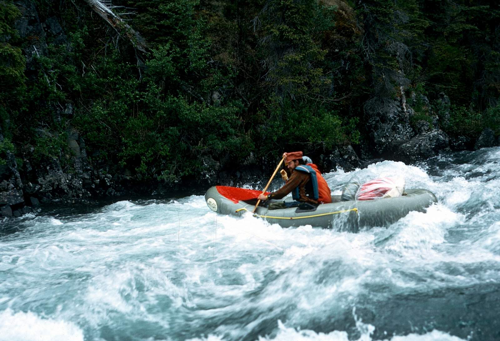
You are now on the North Fork and within a mile is the stretch of rapids called The Chute, at N 64.45 degrees by W 142.2 degrees. This is a Class III stretch and may require lining of kayaks. Next comes Bullion Creek on river right then comes Harrison Creek from river right, 10 miles below The Chute. Below Harrison Creek, start getting ready to pull over to the right to scout the Class V rapid called The Kink at N 64.39 degrees by W 142.025 degrees. It is where the miners blasted a new path through the left side ridge and is on the National Register of Historic Places. It is a series of 4-foot drops with strong hydraulics and is rarely run in kayaks. The portage is over the rock shelf on river right or just above it if there is high water. After The Kink, the river continues fast and rocky first to the south then to the east and after 20 miles reaches the confluence with the South Fork at N 64.24 degrees by W 141.75 degrees. Here the river makes a sweeping left turn at the base of a 3000-foot mountain and runs north for 3 miles then turns east again for the final 17 miles to the Obrien Creek confluence and the Taylor Highway Bridge.
The West Fork/Mosquito Fork to O’Brien Creek Bridge: 75 and 50 miles, allow 3 to 7 days
Most groups start on the West Fork and follow it to where it joins the Dennison Fork of the Fortymile River that runs down to the confluence with the Mosquito Fork where it turns into the South Fork. The river starts small and winds east for 6 or 7 miles to where it meets the Dennison Fork. At this fork the river turns north and runs for 27 miles to join the Mosquito Fork and runs past Lost Chicken Hill to where it crosses under the Taylor Highway at the bridge there just after Wall Street Creek enters from the right side. It is another 23 miles to where it meets the North Fork and it is finally just the Fortymile River, no more Forks. From here it is 20 miles to the O’Brien Creek confluence and bridge. Most of this section is heavily mined with mining claims the whole length of this stretch.
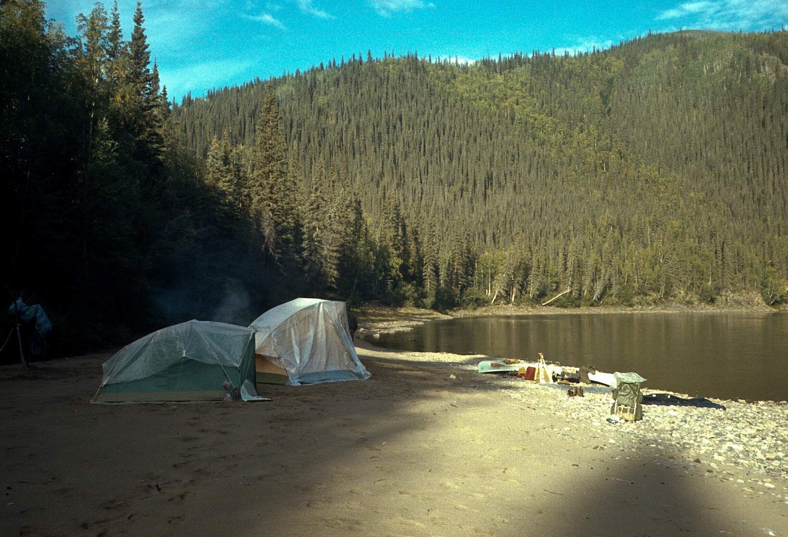
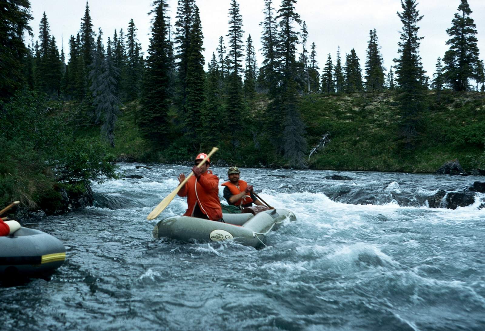
To start on the Mosquito Fork in the mosquito flats area requires high water. There is a boat ramp area at the bridge and it is a swampy meander through mining activity to where it joins the Dennison Fork 10 miles below the bridge. It becomes the South Fork when it meets the Dennison Fork, and runs another 8 miles to the South Fork Bridge. You could take out for a day trip or put in here also. This next 30-mile section is the stretch of river with the most mining activity going on, but it has its own beauty in raw country and historical activities and sandy and gravelly campsites are plenty. Class II rapids are often as it twists and turns past midstream boulders. Several times the river swings completely 180 degrees around a bluff in a huge oxbow before continuing on its way to the east.
O’Brien Creek Bridge to Eagle: 90 miles, allow 6 to 10 days
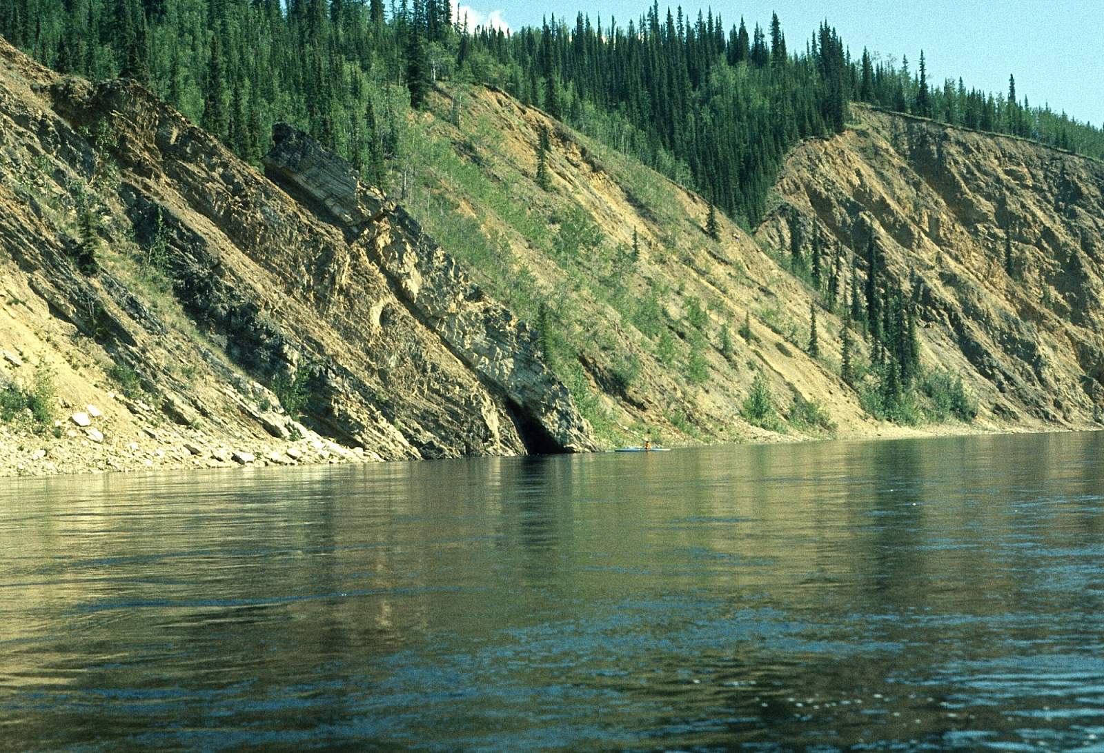
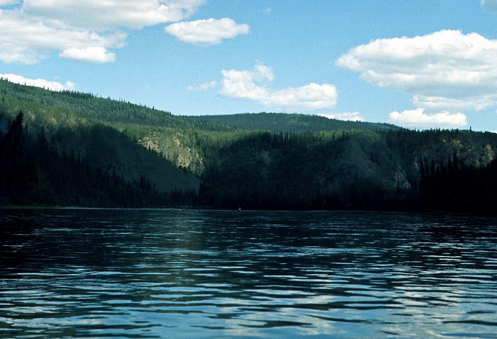
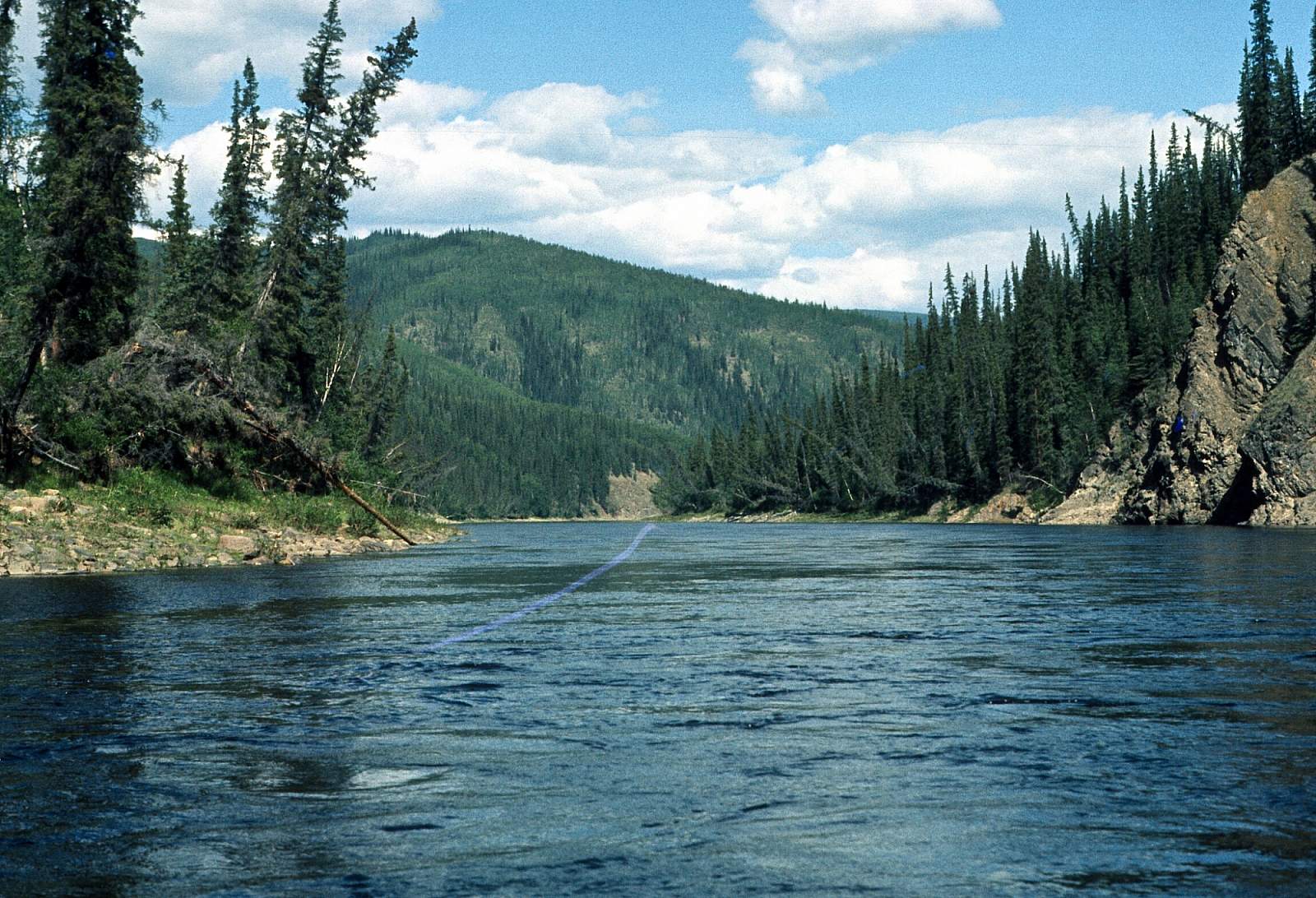
From O'Brien Creek the river becomes a solid Class III with possible Class IV at high water. Below the bridge 3 or 4 miles and below Flat Creek the mountains push in on the river and it enters a rugged zone where Steele Creek is soon met entering on river right. Five miles further, and after the big oxbow turn, is the Class III section called Deadman's Riffle and has an easy portage down the right side. After another 8 miles, the river has on it's left side a huge brown eroding mountainside that turns it to the east and this is the spot just before entering Canada. The river runs strongly east and north as it winds around the rounded mountains. There are two large oxbow bends then a northeast stretch just before the Canyon Rapids are found just after N 64.37 degrees by W 140.75 and after the confluence with Bruin Creek. This is normally only Class III and can be lined/portaged down the right side. Further down, you come to the heavily mined region around Clinton Creek where there is road access back to the Taylor Highway on the Canadian side. Just past Clinton Creek is the old town of Fortymile at the confluence with the Yukon River. From here it is another 50 miles of big river with lots of boat traffic to visit with. The take out at Eagle is on river left so stay left well above it in order to get across the strong current to the take out. The Village is by the river and there is an airstrip if you were flying home.
More Advice
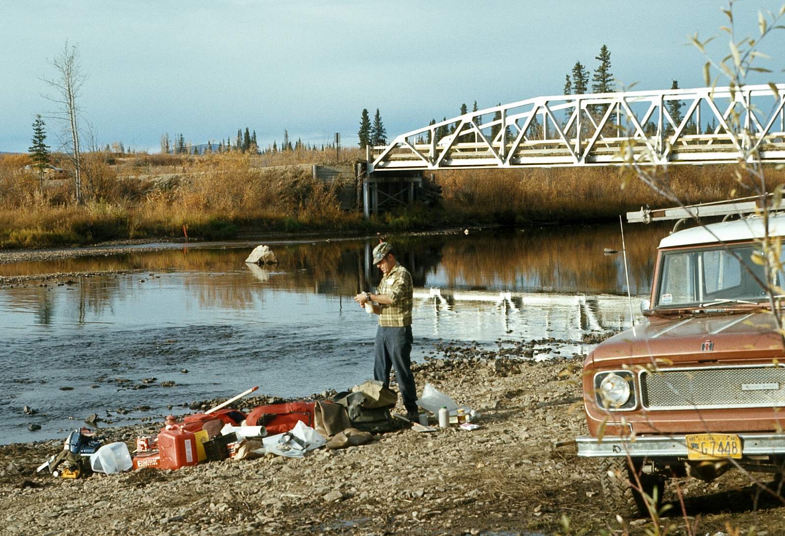
The bridge access on the West Fork and South Fork is good. At the West Fork bridge, mile 49.3, there is a campground and long-term parking area. At the Mosquito Fork bridge, mile 64.3, there is a boat launch ramp and parking. There is also a campground at the Walker Fork Bridge, mile 82.1.
GPS Coordinates
- Joseph: N 64.37 degrees by W 143.1 degrees
- Bald Eagle Rapids: N 64.47 degrees by W 142.32 degrees
- The Chute: N 64 .45 degrees by W 142.2 degrees
- The Kink: N 64.39 degrees by W 142.025 degrees
- North and South Fork Confluence: N 64.39 degrees by W 142.025 degrees
USGS Maps
Eagle A-2, A-3, B-1, B-2, B-3, B-4, B-5, B-6, C-1, C-3, D-1
Tanacross D-2, D-3
Distance
50-90 Miles
Days
2-10
Difficulty
Difficult
Class
I, II, III, IV, V
Craft
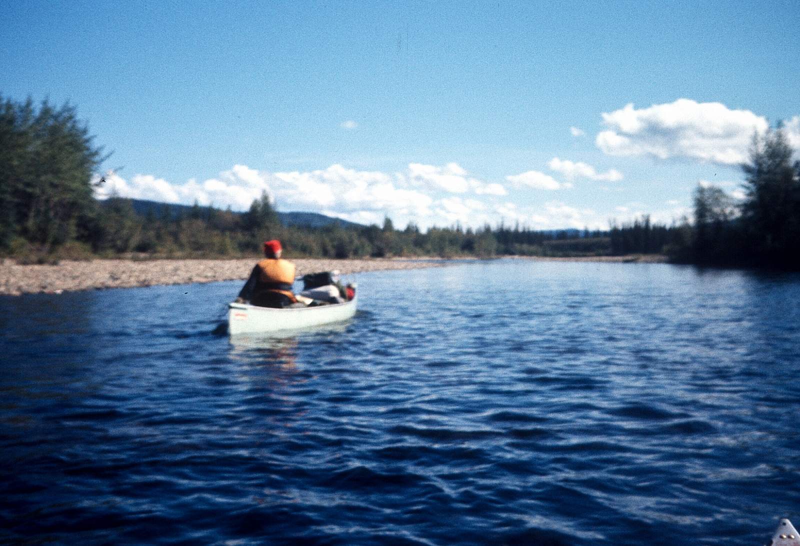
Canoe, Kayak, Raft
Cost
$$$