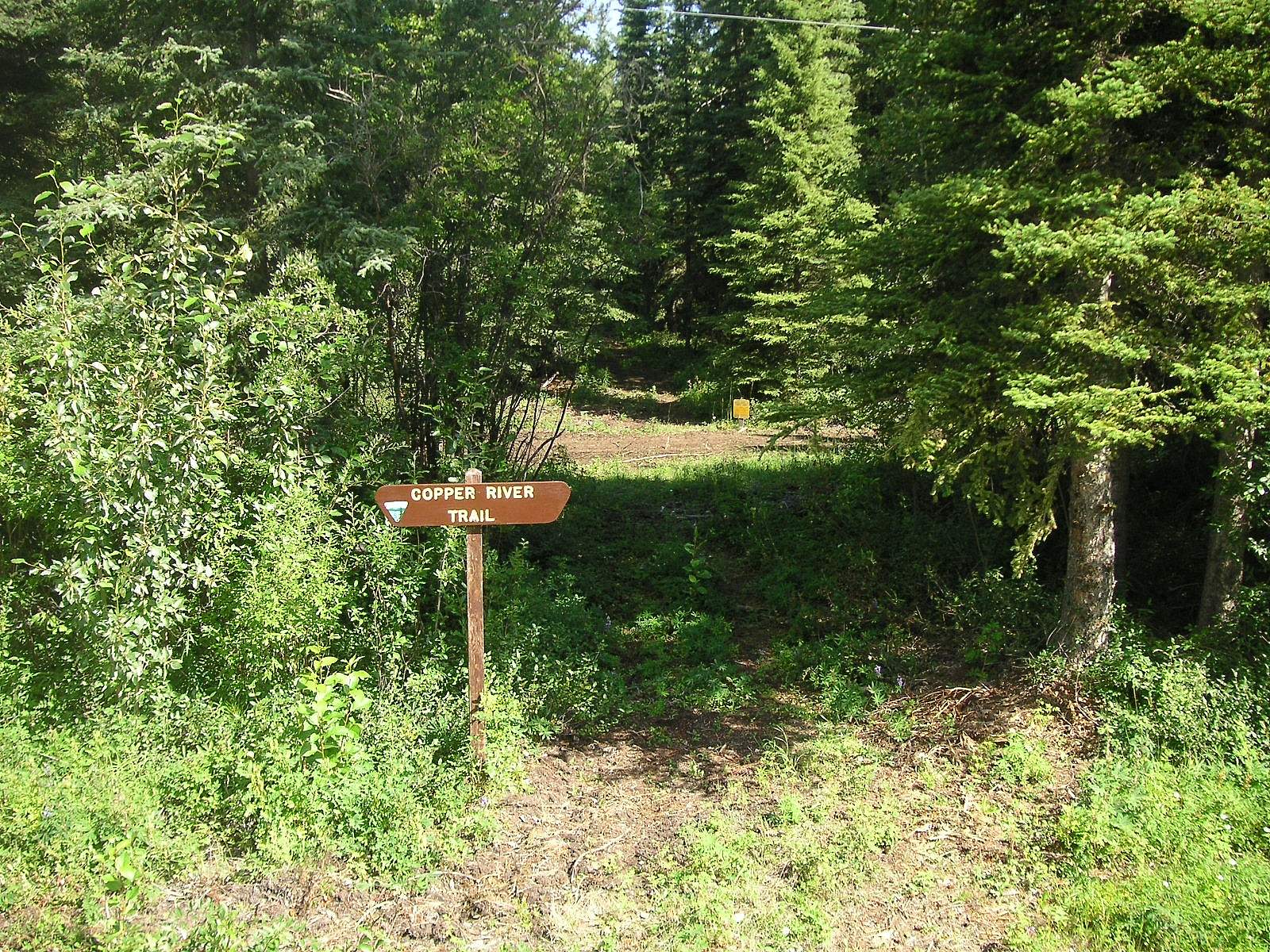
An important note about this trail: While the Forest Service still maintains it, you can’t get here by car, as the Copper River highway is washed out at Mile 36. You can only access the trail by hiring a boat or a plane from town.
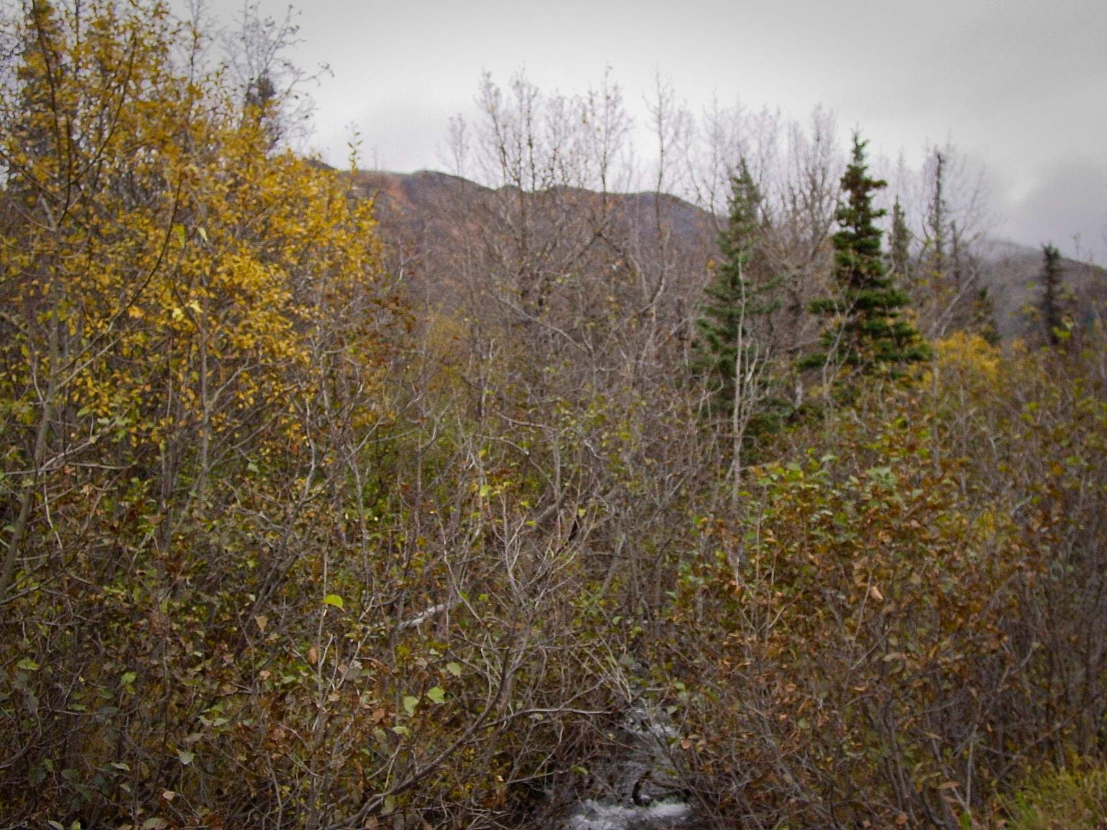
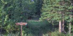
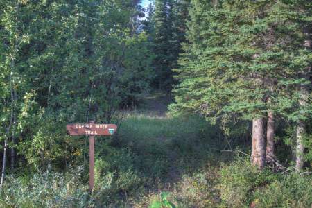
If you make the journey, what you’ll discover is an easy trail, about 0.6 miles long, that will take about 1 hour to hike and leads you to excellent views of Child’s Glacier. The trail itself starts out in thick vegetation, then follows a road along the Copper River, offering the occasional glacier view as you go. When you reach the glacier, take advantage of the viewing platform for great angles. And keep an eye out for birds along the way; this is an excellent birdwatching area in summer.
You can also choose to spend the night at the end of the hike in the USFS Child’s Glacier Recreation Area, where you’ll find 5 tent sites, 4 picnic sites, and restrooms.