Why Take This Hike
After switchbacking your way up the open north face of Mount Alyeska, you can relax in a fine restaurant and enjoy a view full of peaks and glaciers. And reaching this place requires only a 45-minute drive and a hike of around 2 miles. Even better, you can finish the day on an airy gondola ride back down the mountain.
The Details
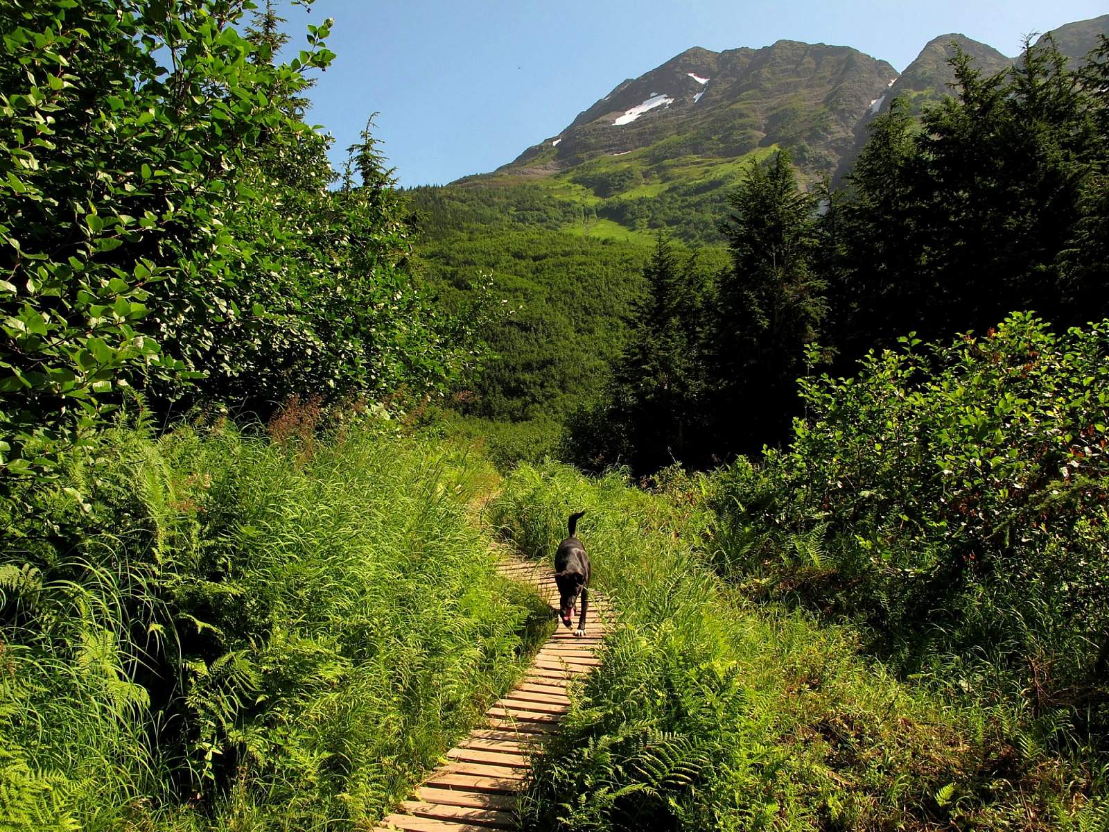
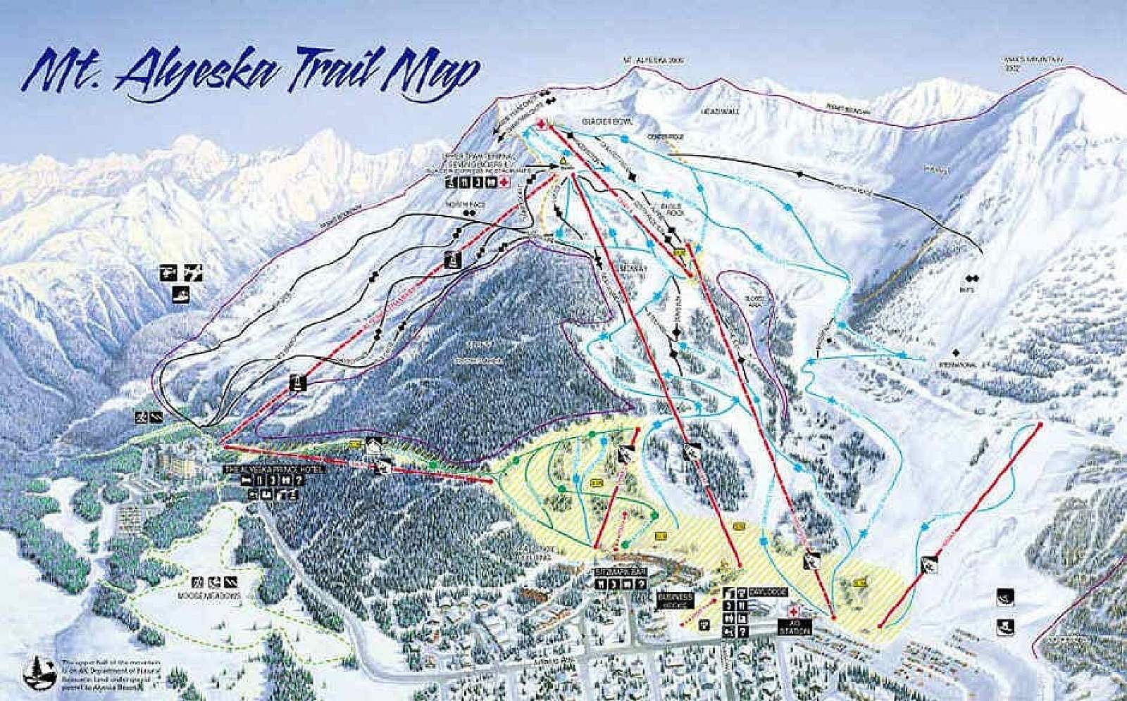
Begin by hiking up the slope beneath the tram station at Girdwood’s Hotel Alyeska to the beginning of the North Face Trail. Since it starts out as a dirt road, the trail may initially trick you into thinking you have an easy hike ahead. But just 200 yards in, you’ll begin to climb up a series of steep switchbacks—and you won’t even be at the base of Mount Alyeska yet.
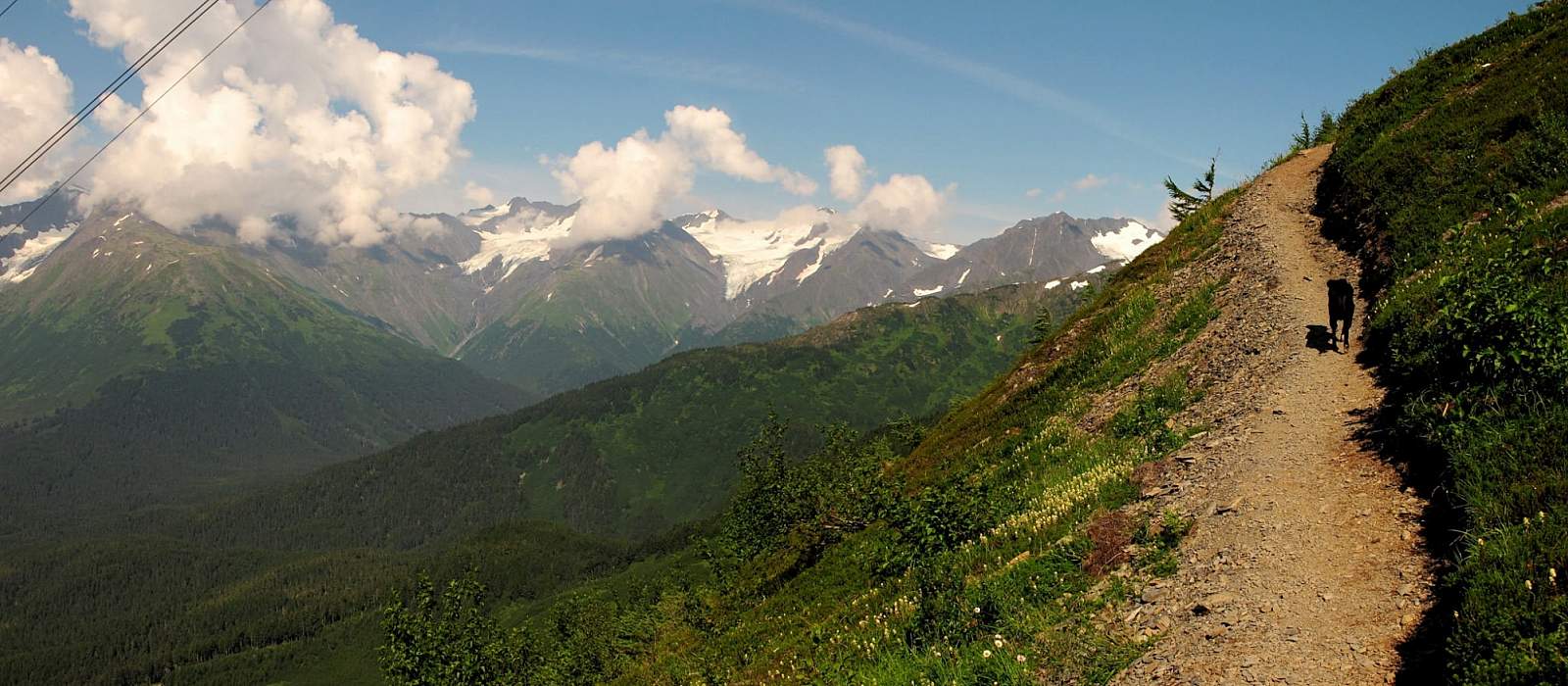
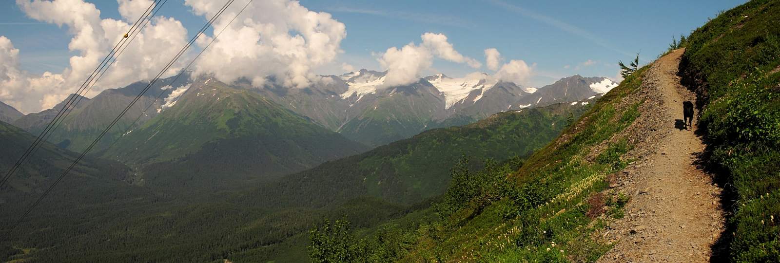
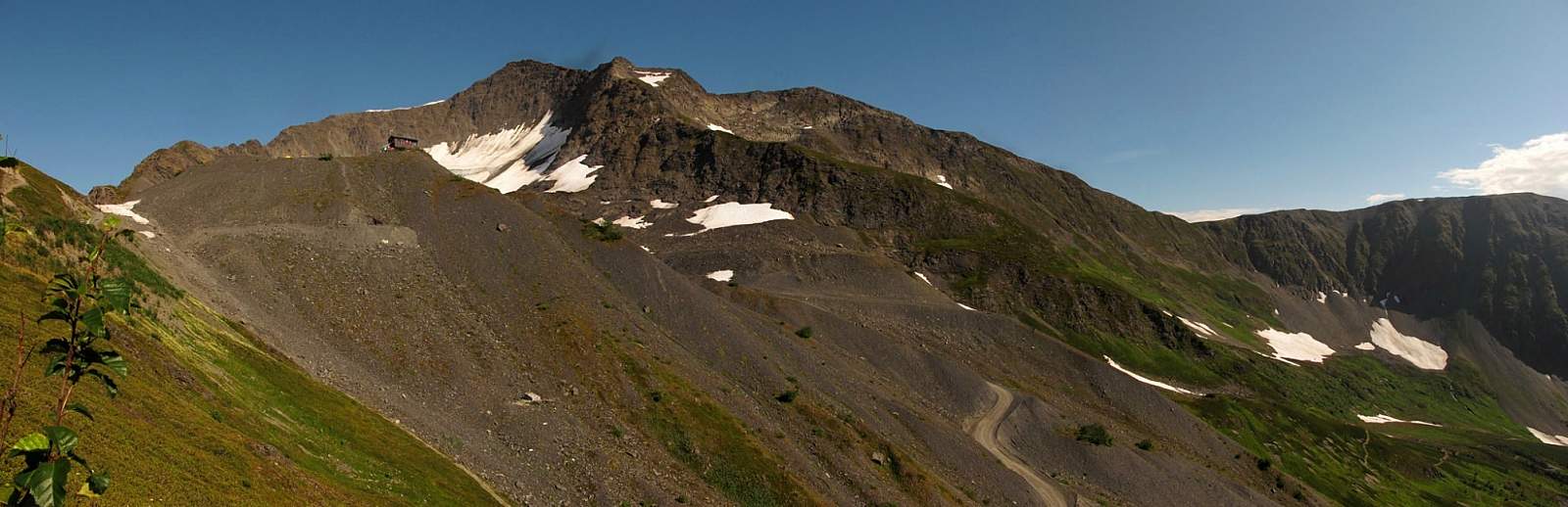
When you do begin to climb the mountain, you’ll know it. As you cross the meadows leading up to the north face of the mountain, you’ll have a good view of the steep slope of the trail. But not to worry: The switchbacks grow broader and the views become more compelling. Soon you’ll be looking around the valley at glaciers and mountains—a foreshadowing of the wide-angle views that await you just 1,000 feet above.
About two-thirds of the way up the slope, the trail climbs more precipitously. Some well-placed chains help you ascend with some ease and safely. Then, on the mountain’s upper face, the view opens up and at least six glaciers come into view, making for a good reason to rest and take photos. Longer views extend from Eagle Glacier and Crow Pass valley to the north and northeast, all the way to Turnagain Arm to the south.
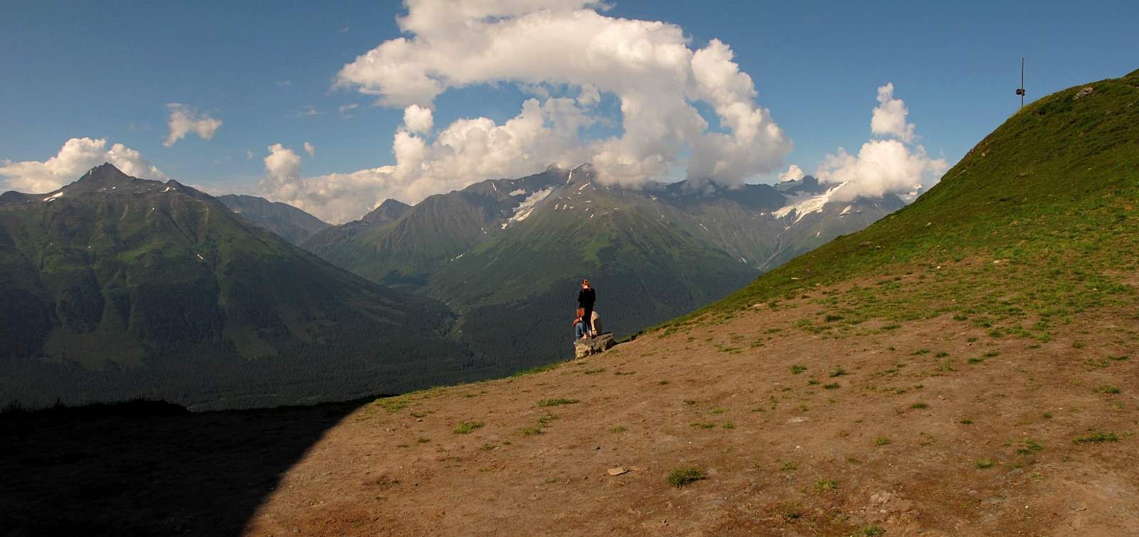
A little more than 0.5 miles later, the trail passes just below the upper station of the tram and ends at a flight of metal stairs leading up into the refreshment building. Here you’ll suddenly find yourself back in civilization, with restaurants, restrooms, and even a small museum.
Ambitious hikers may want to hike above the tram station to the base of Alyeska Glacier, where a cirque just below the sheer walls leads up to the mountain’s summit. This alpine landscape of ice, rock, and snow is awesome in every sense of the word.
But since you’ve already hiked close to 2.5 miles and climbed some 2,300 feet, take a break. Lean back in a comfortable chair and gaze out the window; the glacier above won’t go anywhere in the next half hour. After you’ve rested, you can think about climbing again. Admittedly, after working so hard to get here, hopping into the tram for the trip back down will seem a big temptation. But if you’ve come this far, the hike up to the glacier may make for an even more memorable day.
(For more, see Walk-About Guide to Alaska, Volume One by Shawn R. Lyons)